

Why visit Kasulu
Townapedia lists 8 museums and landmarks, 2 parks and trails, 15 places to eat, 38 places to stay and 4 attractions in and around town.
Weather in Kasulu
Forecast from MET Norway (CC BY 4.0). Full forecast
About Kasulu
Kasulu Town is the largest city in Kigoma Region, and the fourteenth most populous city in Tanzania with a population of 238,321 as of 2022.
From the Wikipedia article Kasulu (this version), under CC BY-SA 4.0.
Things to do4


Museums and landmarks8

Parks, trails and playgrounds2

Restaurants and cafes15




3 more on the map.
More about Kasulu
Economy
The town is the location of the headquarters of Kasulu District Administration. Agriculture is the main income-generating activity in the Council. Over 85% of inhabitants depend on crop and animal husbandry, while the remaining percentage depends on other economic activities such as Small and medium enterprise businesses (SMEs). The main food crops are maize, beans, cassava, sweet potatoes and banana. The main cash crops include coffee, tobacco and sugar cane. The per capita income of each individual in the council is estimated at Tshs. 685, 000/= per annum. Industrial contribution to the GDP of Kasulu Town is very minimal due to very little investment.
From the Wikipedia article Kasulu, under CC BY-SA 4.0.
Notable people from Kasulu
- Bernard KamungoTanzanian-American soccer player
- Jonathan Lesliesquash player
- Jay MelodyTanzanian singer
Born in Kasulu, according to Wikidata (CC0). Each name links to its Wikipedia article.
Where to stay38
Churches and places of worship13
Shopping6
Gas and EV charging6
Schools, colleges and libraries106
Healthcare19
Map of Kasulu
217 places. The map loads OpenStreetMap tiles when you open it.
Getting there and nearby towns
Kigoma Airport (TKQ) is the nearest airport with scheduled flights listed in OpenStreetMap, 59 km away.
- Mwandiga 57 km southwest, about 57 min by car
- Kigoma 62 km southwest, about 1 h by car
- Uvinza 67 km southeast, about 1 h by car
Drive times are estimates from straight-line distance, not routes.
Keep exploring
Local news
Headlines from INDB.
Reviews, tips and questions
Loading what members have shared...
Sources and licences
- GeoNames (CC BY 4.0): population, coordinates, regions and time zone
- Mapillary (see each image): photos
- OpenStreetMap contributors (ODbL 1.0): places, airports, map data
- Wikidata (CC0 1.0): elevation, founding date, time zone, website
- Wikimedia Commons (see each image): photos
- Wikipedia (CC BY-SA 4.0): overview and history text
Photo credits
- ISS067-E-189023 - View of Earth, Earth Science and Remote Sensing Unit , Lyndon B. Johnson Space Center, Public domain
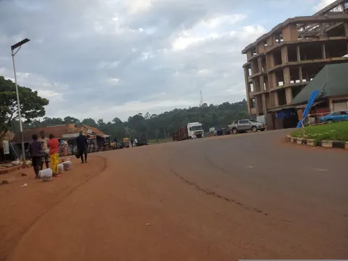
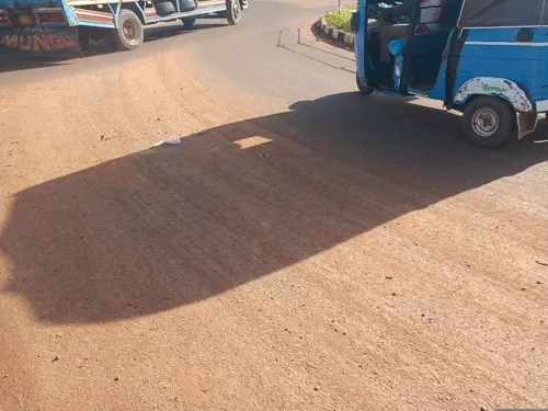
- Street-level photo, MuKi, CC BY-SA 4.0
- Street-level photo, MuKi, CC BY-SA 4.0
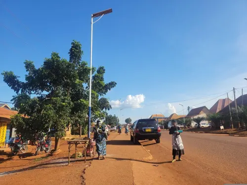
- Street-level photo, majaliwa_magono, CC BY-SA 4.0
- Street-level photo, Waya, CC BY-SA 4.0
- Street-level photo, Mchunguzi, CC BY-SA 4.0
Page built November 10, 2026. Spotted a mistake? Tell us or suggest a place.