


Why visit Kisesa
Townapedia lists 1 museum or landmark, 1 park or trail, 31 places to eat, 23 places to stay and 5 attractions in and around town.
Highlights include lecture theater one, lecture theater two and Sukuma Museum.
Weather in Kisesa
Forecast from MET Norway (CC BY 4.0). Full forecast
About Kisesa
Kisesa is an administrative ward in the Magu District of the Mwanza Region of Tanzania.
From the Wikipedia article Kisesa (this version), under CC BY-SA 4.0.
Things to do5


Museums and landmarks1

Sukuma Museum
Museum · 1.1 km
Art museum in Mwanza, Tanzania
07:00-18:00
Parks, trails and playgrounds1

Restaurants and cafes31
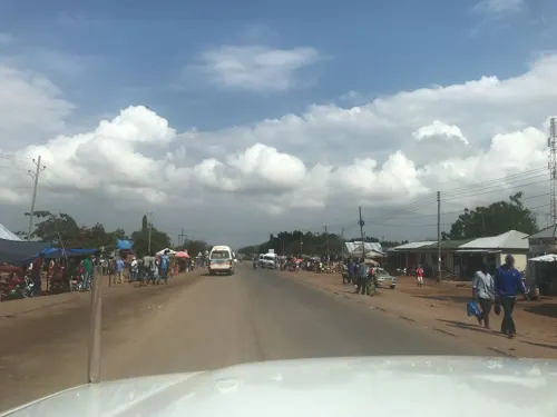
Mangashi Bar
Bar and pub · 1.7 km
Private
1 Bujora Village
Mo-Sa 08:00-22:00; Su 10:00-16:00
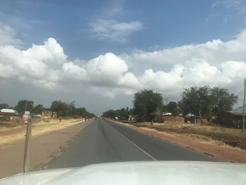
Masunga Lodge and Restaurant
Restaurant · Fish And Chips · 1.1 km
1 Bujora Village
Mo-Sa 07:00-23:00; Su 12:00-21:00
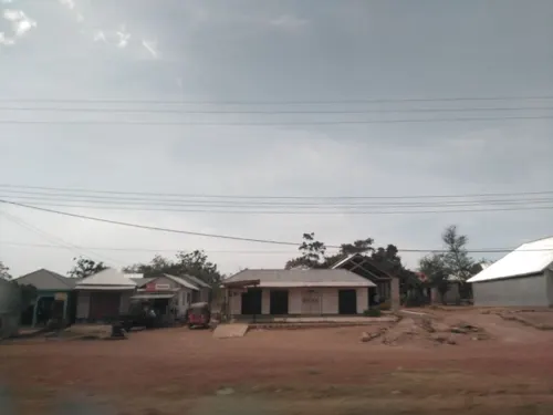



Cafeteria
Cafe · Fish And Chips, Coffee Shop, Chinese, Fish, Chicken · 3.1 km
Cafeteria
Isangijo Village
Mo-Sa 07:00-22:00; Su 08:30-21:00

Embakasy Bar And Hotel
Bar and pub · 1.8 km
Bar and hotel
1 Kisesa
Mo-Sa 06:00-22:00; Su 10:00-16:00

Heritage
Restaurant · Pizza, Burger, Coffee Shop, Chicken, Sandwich, Kebab, Ice Cream, Seafood · 5.0 km
Private
Mo-Fr off
Tanzania Assemblies of God
Restaurant · 3.8 km
Public
Kitumba Village
Sa-Su 08:30-16:00
Kilowatt Tavern Bar and Grill
Bar and pub · 0.8 km
1 Bujora Village
Mo-Fr 12:00-24:00
Komanya Lodge
Bar and pub · 1.1 km
1 Bujora Village
Mo-Sa 07:00-24:00; Su 12:00-16:00
Mama Nkamba Cafe
Cafe · 1.3 km
Kisesa "A" Village
Mo-Fr 07:30-21:00; Sa-Su 08:00-21:00
19 more on the map.
Where to stay23
Churches and places of worship35
Evangelistic Assemblies of God Church
Church · Assemblies Of God · 2.4 km
38 Wita A
Shopping108
Gas and EV charging11
Schools, colleges and libraries46
Healthcare50
Map of Kisesa
250 places. The map loads OpenStreetMap tiles when you open it.
Getting there and nearby towns
Mwanza Airport (MWZ) is the nearest airport with scheduled flights listed in OpenStreetMap, 16 km away.
- Mwanza 15 km west, about 15 min by car
- Usagara 15 km south, about 15 min by car
- Nyanguge 19 km east, about 19 min by car
- Misungwi 34 km south, about 34 min by car
- Kihangara 35 km east, about 35 min by car
- Sengerema 45 km west, about 45 min by car
- Nansio 46 km north, about 46 min by car
- Magu 46 km east, about 46 min by car
- Nakatunguru 48 km north, about 48 min by car
- Misasi 50 km south, about 50 min by car
Drive times are estimates from straight-line distance, not routes.
Keep exploring
Local news
Headlines from INDB.
Reviews, tips and questions
Loading what members have shared...
Sources and licences
- GeoNames (CC BY 4.0): population, coordinates, regions and time zone
- Mapillary (see each image): photos
- OpenStreetMap contributors (ODbL 1.0): places, airports, map data
- Wikidata (CC0 1.0): elevation, founding date, time zone, website
- Wikimedia Commons (see each image): photos
- Wikipedia (CC BY-SA 4.0): overview and history text
Photo credits
- Holy celebration, Patricia Gambula Larsen, CC BY-SA 4.0
- Wanasecelia dance group, Patricia Gambula Larsen, CC BY-SA 4.0
- Bunungule drums, Patricia Gambula Larsen, CC BY-SA 4.0
- Street-level photo, allennatai, CC BY-SA 4.0
- Street-level photo, allennatai, CC BY-SA 4.0
- Street-level photo, allennatai, CC BY-SA 4.0
- Street-level photo, allennatai, CC BY-SA 4.0
- Street-level photo, allennatai, CC BY-SA 4.0
- Street-level photo, allennatai, CC BY-SA 4.0
- Street-level photo, ralebipim, CC BY-SA 4.0
- Street-level photo, ralebipim, CC BY-SA 4.0
Page built November 10, 2026. Spotted a mistake? Tell us or suggest a place.