
Magugu, Tanzania
Magugu (Babati)
Magugu is a town of 26,131 people in Manyara, Tanzania.
Why visit Magugu
Townapedia lists 2 places to eat in and around town.
Weather in Magugu
Forecast from MET Norway (CC BY 4.0). Full forecast
About Magugu
Magugu is an administrative ward in the Babati district of the Manyara Region of Tanzania. According to the 2002 census, the ward has a total population of 23,682. It is famous for its aromatic rice.
From the Wikipedia article Magugu (this version), under CC BY-SA 4.0.
Restaurants and cafes2

Churches and places of worship1

Schools, colleges and libraries4

Healthcare2


History
Magugu grew out of an anti-sleeping sickness (African trypanosomiasis) settlement which was established in the early 1940s. In 1997, the area was described as being "dust and thorn scrub".
From the History section of Magugu on Wikipedia, under CC BY-SA 4.0.
More about Magugu
Education
World Vision, which started the Magugu Area Development Programme covering 14 villages and more than 57,000 people in 2005, describes Magugu as having 24 primary schools and two secondary schools in 2005. Among the schools in Magugu are Joshua Primary School, which educates approximately 350 children, and Joshua Secondary School, which was established in 2007.
From the Wikipedia article Magugu, under CC BY-SA 4.0.
Map of Magugu
9 places. The map loads OpenStreetMap tiles when you open it.
Getting there and nearby towns
Lake Manyara Airport (LKY) is the nearest airport with scheduled flights listed in OpenStreetMap, 72 km away.
- Babati 22 km south, about 22 min by car
- Galappo 29 km south, about 29 min by car
- Mbulu 32 km northwest, about 32 min by car
- Dareda 33 km southwest, about 33 min by car
- Dongobesh 43 km west, about 43 min by car
- Bashanet 46 km southwest, about 46 min by car
- Endasak 52 km southwest, about 52 min by car
- Nangwa 61 km southwest, about 1 h by car
- Makuyuni 64 km northeast, about 1 h by car
- Katesh 71 km southwest, about 1 h 15 min by car
Drive times are estimates from straight-line distance, not routes.
Keep exploring
Local news
Headlines from INDB.
Reviews, tips and questions
Loading what members have shared...
Sources and licences
- GeoNames (CC BY 4.0): population, coordinates, regions and time zone
- Mapillary (see each image): photos
- OpenStreetMap contributors (ODbL 1.0): places, airports, map data
- Wikidata (CC0 1.0): elevation, founding date, time zone, website
- Wikipedia (CC BY-SA 4.0): overview and history text
Photo credits
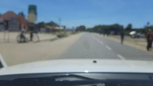
- Street-level photo, calista2019, CC BY-SA 4.0
Page built November 10, 2026. Spotted a mistake? Tell us or suggest a place.