
Why visit Nachingwea
Townapedia lists 4 places to eat in and around town.
Weather in Nachingwea
Forecast from MET Norway (CC BY 4.0). Full forecast
About Nachingwea
Nachingwea is a town in the Lindi Region of southern Tanzania. It was the terminus of a railway built for the infamous, ill-fated Tanganyika groundnut scheme. The town is also the site of the tomb of Judy the Dog, the first dog to be given prisoner of war status and recipient of the Dickin Medal. The memorial was put in place by her companion through the war, Frank Williams, who lived in Nachingwea for some time.
From the Wikipedia article Nachingwea, Tanzania (this version), under CC BY-SA 4.0.
Restaurants and cafes4

Churches and places of worship2

Gas and EV charging1

Schools, colleges and libraries11

Healthcare3
Map of Nachingwea
21 places. The map loads OpenStreetMap tiles when you open it.
Getting there and nearby towns
Nachingwea Airport (NCH) is the nearest airport with scheduled flights listed in OpenStreetMap, 2 km away.
- Lukuledi 22 km south, about 22 min by car
- Masasi 38 km south, about 38 min by car
- Ruangwa 39 km northeast, about 39 min by car
- Nanganga 42 km east, about 42 min by car
- Mbekenyera 48 km northeast, about 48 min by car
- Nyangao 57 km east, about 57 min by car
- Chiungutwa 62 km southeast, about 1 h by car
- Lulindi 64 km southeast, about 1 h by car
- Nangomba 65 km southwest, about 1 h by car
- Mtama 67 km east, about 1 h by car
Drive times are estimates from straight-line distance, not routes.
Keep exploring
Local news
Headlines from INDB.
Reviews, tips and questions
Loading what members have shared...
Sources and licences
- GeoNames (CC BY 4.0): population, coordinates, regions and time zone
- Mapillary (see each image): photos
- OpenStreetMap contributors (ODbL 1.0): places, airports, map data
- Wikidata (CC0 1.0): elevation, founding date, time zone, website
- Wikipedia (CC BY-SA 4.0): overview and history text
Photo credits
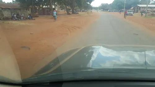
- Street-level photo, ngoiya, CC BY-SA 4.0
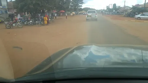
- Street-level photo, ngoiya, CC BY-SA 4.0
Page built November 10, 2026. Spotted a mistake? Tell us or suggest a place.