


Why visit Songea
Townapedia lists 2 parks and trails, 12 places to eat and 8 places to stay in and around town.
Weather in Songea
Forecast from MET Norway (CC BY 4.0). Full forecast
About Songea
Songea is the capital of Ruvuma Region in southwestern Tanzania. It is located along the A19 road. The city has a population of 286,285, and is the seat of the Roman Catholic Archdiocese of Songea. Between 1905 and 1907, the city was a centre of African resistance during the Maji Maji Rebellion in German East Africa.
From the Wikipedia article Songea (this version), under CC BY-SA 4.0.
Travel tips from other travellers: Songea on Wikivoyage (CC BY-SA 4.0).
Parks, trails and playgrounds2

Restaurants and cafes12



Where to stay8



Schools, colleges and libraries27

15 more on the map.
History
The city took its names after one of the Ngoni warriors, killed in 1906 during the time of German repression of the Maji Maji rebellion.
After the Second World War, the area was marked for rapid agricultural development linked to the ultimately disastrous groundnut scheme. A railway had been planned from the coast to Songea and actually appeared in 1950s high school geography text books. During the liberation war with Mozambique the Songea area was a restricted zone and occasionally suffered aerial attacks by Portuguese forces. Its remoteness made it vulnerable to ivory poaching, and communications remained unreliable until 1985 when a new British funded road was opened linking it northwards to the road and rail hub of Makambako.
From the History section of Songea on Wikipedia, under CC BY-SA 4.0.
Notable people from Songea
 Asha-Rose MigiroTanzanian politician and UN Deputy-Secretary GeneralPhoto: Asha-Rose_Migiro.jpg : Rune Stoltz..., CC BY 2.0
- Rashidi KawawaTanzanian politician (1926–2009)
- Damas NdumbaroTanzanian politician
- Yohana MkomolaTanzanian association football player

Born in Songea, according to Wikidata (CC0). Each name links to its Wikipedia article.
Healthcare2
Map of Songea
51 places. The map loads OpenStreetMap tiles when you open it.
Getting there and nearby towns
Songea Airport (SGX) is the nearest airport with scheduled flights listed in OpenStreetMap, 7 km away.
- Maposeni 29 km west, about 29 min by car
- Kigonsera 67 km west, about 1 h by car
- Mbinga 75 km west, about 1 h 15 min by car
- Matiri 82 km west, about 1 h 15 min by car
Drive times are estimates from straight-line distance, not routes.
Keep exploring
Local news
Headlines from INDB.
Reviews, tips and questions
Loading what members have shared...
Sources and licences
- GeoNames (CC BY 4.0): population, coordinates, regions and time zone
- Mapillary (see each image): photos
- OpenStreetMap contributors (ODbL 1.0): places, airports, map data
- Wikidata (CC0 1.0): elevation, founding date, time zone, website, landmarks and historic places
- Wikimedia Commons (see each image): photos
- Wikipedia (CC BY-SA 4.0): overview and history text
Photo credits
- Masjidun Noor Jumma Mosque, Nafeez issadeen of Commonwealth Gem Company, Colombo, Sri Lanka ( https://www.flickr.com/photos/31389565@N05/ ), CC BY-SA 2.0
- Bible 2, Lumeluiz, CC BY-SA 4.0
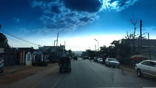
- Street-level photo, 100sassa, CC BY-SA 4.0
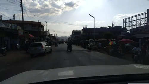
- Street-level photo, 100sassa, CC BY-SA 4.0
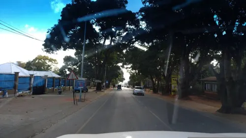
- Street-level photo, 100sassa, CC BY-SA 4.0
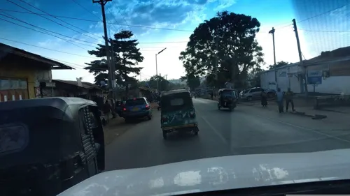
- Street-level photo, 100sassa, CC BY-SA 4.0
Page built November 10, 2026. Spotted a mistake? Tell us or suggest a place.