


Loading the weather...
Population146,771
GeoNames
RegionKhanh Hoa
Elevation15 m
49 ft
Time zoneAsia/Ho Chi Minh
Nearest airportCam Ranh International Airport (CXR)
11 km
Why visit Cam Ranh
Townapedia lists 1 museum or landmark, 6 parks and trails, 6 places to eat and 3 places to stay in and around town.
Highlights include Công viên 22 tháng 8.
Weather in Cam Ranh
Forecast from MET Norway (CC BY 4.0). Full forecast
Museums and landmarks1

Parks, trails and playgrounds6



Restaurants and cafes6




Advertisement
Where to stay3

Churches and places of worship2
Shopping1
Advertisement
Gas and EV charging2
Schools, colleges and libraries13
Trung tâm Giáo dục thường xuyên và Hướng nghiệp Cam Ranh
School · 1.5 km
Phan Chu Trinh, Cam Ranh
Trường Trung học phổ thông Phan Bội Châu
School · 1.3 km
Nguyễn Thái Học, Cam Ranh
Healthcare1
Bệnh viện Đa Khoa khu vực Cam Ranh
Hospital · 1.5 km
97 Nguyễn Thái Học, Cam Ranh
Advertisement
Map of Cam Ranh
35 places. The map loads OpenStreetMap tiles when you open it.
Getting there and nearby towns
Cam Ranh International Airport (CXR) is the nearest airport with scheduled flights listed in OpenStreetMap, 11 km away.
- Nha Trang 36 km north, about 36 min by car
- Khánh Hải 39 km south, about 39 min by car
- Phan Rang-Tháp Chàm 44 km southwest, about 44 min by car
- Ninh Hòa 64 km north, about 1 h by car
- Ðà Lạt 78 km west, about 1 h 15 min by car
- Vạn Thạnh 87 km north, about 1 h 30 min by car
- Đưc Trọng 88 km west, about 1 h 30 min by car
Drive times are estimates from straight-line distance, not routes.
Local news
Headlines from INDB.
Reviews, tips and questions
Loading what members have shared...
Sources and licences
- GeoNames (CC BY 4.0): population, coordinates, regions and time zone
- Mapillary (see each image): photos
- OpenStreetMap contributors (ODbL 1.0): places, airports, map data
- Wikidata (CC0 1.0): elevation, founding date, time zone, website
- Wikimedia Commons (see each image): photos
Photo credits
- Trung tâm Sinh hoạt Chính trị - Văn hóa Thành phố Cam Ranh, Symptoms 0912AD, CC BY-SA 4.0
- Roundabout at the intersection of Hùng Vuơng Boulevard and 22 tháng 8 Street, Cam Ranh, Symptoms 0912AD, CC BY-SA 4.0
- Chùa Ốc Từ Vân Cam Ranh - panoramio, Lam Tr Th, CC BY-SA 3.0
- Chùa Ốc Từ Vân Phan Rang - panoramio, Lam Tr Th, CC BY-SA 3.0
- Chùa Ốc Từ Vân Phan Rang - panoramio (1), Lam Tr Th, CC BY-SA 3.0
- Chùa Ốc Từ Vân Phan Rang - panoramio (2), Lam Tr Th, CC BY-SA 3.0
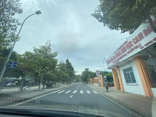
- Street-level photo, DriveWithHoang, CC BY-SA 4.0
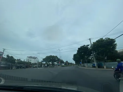
- Street-level photo, DriveWithHoang, CC BY-SA 4.0
Page built November 8, 2026. Spotted a mistake? Tell us or suggest a place.