


Why visit Gò Công
Townapedia lists 3 museums and landmarks, 2 parks and trails, 4 places to eat and 1 place to stay in and around town.
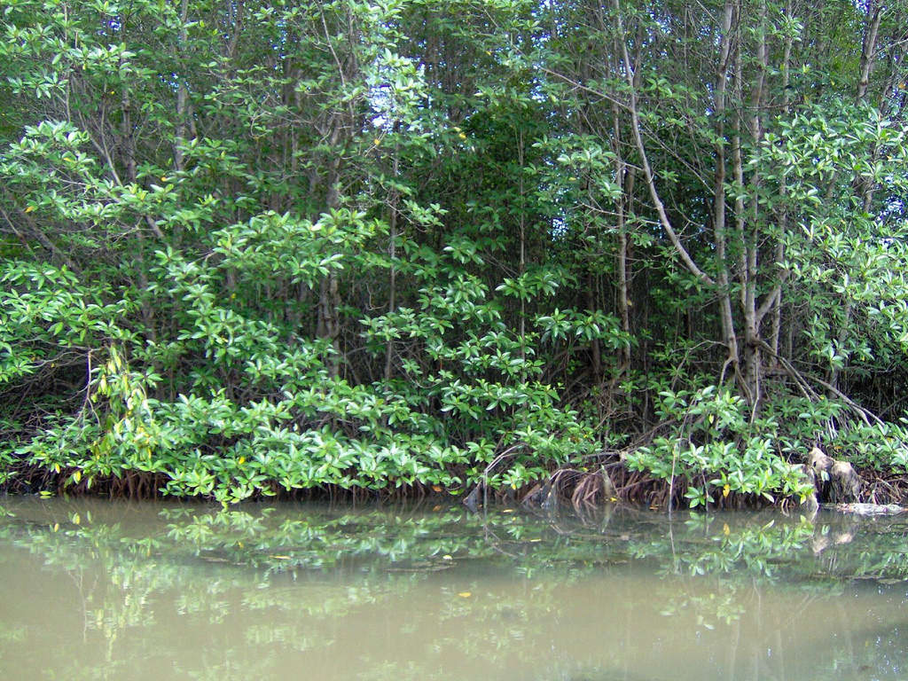
Highlights include Can Gio Mangrove Forest.
Weather in Gò Công
Forecast from MET Norway (CC BY 4.0). Full forecast
About Gò Công
Gò Công is a former provincial city (thành phố thuộc tỉnh) of Tiền Giang province in the Mekong Delta region of Vietnam. The city of Gò Công is not to be confused with East Gò Công and West Gò Công Districts (Vietnamese: huyện Gò Công Đông and huyện Gò Công Tây) which also belong to the Tiền Giang Province.
From the Wikipedia article Gò Công (this version), under CC BY-SA 4.0.
Travel tips from other travellers: Gò Công on Wikivoyage (CC BY-SA 4.0).
Museums and landmarks3

Parks, trails and playgrounds2



Restaurants and cafes4


Where to stay1

Churches and places of worship7
Shopping3
Schools, colleges and libraries10
Healthcare3
Map of Gò Công
33 places. The map loads OpenStreetMap tiles when you open it.
Getting there and nearby towns
Vung Tau Airport (VTG) is the nearest airport with scheduled flights listed in OpenStreetMap, 47 km away.
- Mỹ Tho 34 km west, about 34 min by car
- Bến Tre 35 km southwest, about 35 min by car
- Nhà Bè 38 km north, about 38 min by car
- Quận Sáu 42 km north, about 42 min by car
- Quận Mười Một 44 km north, about 44 min by car
- Quận Năm 43 km north, about 43 min by car
- Quận Mười 45 km north, about 45 min by car
- Quận Bốn 45 km north, about 45 min by car
- Quận Ba 45 km north, about 45 min by car
- Ho Chi Minh City 51 km north, about 51 min by car
Drive times are estimates from straight-line distance, not routes.
Local news
Headlines from INDB.
Reviews, tips and questions
Loading what members have shared...
Sources and licences
- GeoNames (CC BY 4.0): population, coordinates, regions and time zone
- OpenStreetMap contributors (ODbL 1.0): places, airports, map data
- Wikidata (CC0 1.0): elevation, founding date, time zone, website, landmarks and historic places
- Wikimedia Commons (see each image): photos
- Wikipedia (CC BY-SA 4.0): overview and history text
Photo credits
- Dinh Chánh Tham Gò Công, Bùi Thụy Đào Nguyên, CC BY-SA 4.0
- Phường 1, tx. Gò Công, Tiền Giang, Vietnam - panoramio, trungydang, CC BY 3.0
- Nhà thờ của họ Lâm, giờ là nhà thiếu nhi của thị xã Gò Công. - panoramio, michacha, CC BY 3.0
- Phường 2, tx. Gò Công, Tiền Giang, Vietnam - panoramio, trungydang, CC BY 3.0
- Tân Đông, tx. Gò Công, Tiền Giang, Vietnam - panoramio (1), trungydang, CC BY 3.0
- Tân Đông, tx. Gò Công, Tiền Giang, Vietnam - panoramio, trungydang, CC BY 3.0
- Tân Đông, tx. Gò Công, Tiền Giang, Vietnam - panoramio (2), trungydang, CC BY 3.0
- Mangrove in Can Gio forest, Tho nau, CC BY-SA 3.0
- Tx Ngoc Hiep.duong Thukhoahuan.p2.tx Gocong.tinh Tiengiang.vn - panoramio, trungydang, CC BY 3.0
- Tx Ngoc hiep.duong Thu Khoa Guan.phuong 2,tx Go cobg.Tiengiang.vn - panoramio, trungydang, CC BY 3.0
- Bao thap.tx Ngoc Hiep.tx Go cobg Tien giang - panoramio, trungydang, CC BY 3.0
- Tuong Phat Quan Am.tx Ngoc Hiep.tx Go cong.Tiengiang.vn - panoramio, trungydang, CC BY 3.0
- Tinh xa Ngoc Hiep.duong Thu Khoa Huan.Go cong Tien giang.vn - panoramio, trungydang, CC BY 3.0
- Dinh Tan Dong.tx Go Cong.tien giang.vn - panoramio, trungydang, CC BY 3.0
- Dinh Tan Dong.tx Go cong.Tiengiang.Vn - panoramio, trungydang, CC BY 3.0
- Tinh lo 871 dinh Tan dong.Gocong-Tiengiang.vn - panoramio, trungydang, CC BY 3.0
- Duong vao dinh Tan Ding.Gocong Tiengiang.vn - panoramio, trungydang, CC BY 3.0
- DT 862, tt Tan hoa, Go cong dong, Tien giang, Vn - panoramio, trungydang, CC BY 3.0


Page built November 8, 2026. Spotted a mistake? Tell us or suggest a place.