


Sầm Sơn, Vietnam
Sầm Sơn is a city of 129,801 people in Thanh Hóa Province, Vietnam, founded in December 18, 1981.
Why visit Sầm Sơn
Townapedia lists 1 museum or landmark, 4 parks and trails, 19 places to stay and 2 attractions in and around town.
Highlights include Sam Son Beach and Sầm Sơn Beach.
Weather in Sầm Sơn
Forecast from MET Norway (CC BY 4.0). Full forecast
About Sầm Sơn
Sầm Sơn [sə̤m˨˩:səːn˧˧] is a former resort city of Thanh Hóa province in the North Central Coast of Vietnam.
From the Wikipedia article Sầm Sơn (city) (this version), under CC BY-SA 4.0.
Things to do2


Museums and landmarks1

Parks, trails and playgrounds4

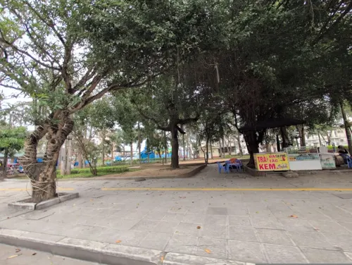

Where to stay19

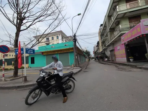


7 more on the map.
Churches and places of worship2
Schools, colleges and libraries8
Healthcare3
Map of Sầm Sơn
39 places. The map loads OpenStreetMap tiles when you open it.
Getting there and nearby towns
Tho Xuan Airport (THD) is the nearest airport with scheduled flights listed in OpenStreetMap, 49 km away.
- Thanh Hóa 16 km northwest, about 16 min by car
- Nga Sơn 31 km north, about 31 min by car
- Thị Trấn Bình Minh 33 km northeast, about 33 min by car
- Bỉm Sơn 39 km north, about 39 min by car
- Nghi Sơn 46 km south, about 46 min by car
- Thị Trấn Sao Vàng 49 km west, about 49 min by car
- Thị Trấn Vân Du 50 km north, about 50 min by car
- Hoàng Mai 55 km south, about 55 min by car
- Thị Trấn Lam Sơn 55 km west, about 55 min by car
- Hoa Lư 59 km north, about 59 min by car
Drive times are estimates from straight-line distance, not routes.
Local news
Headlines from INDB.
Reviews, tips and questions
Loading what members have shared...
Sources and licences
- GeoNames (CC BY 4.0): population, coordinates, regions and time zone
- Mapillary (see each image): photos
- OpenStreetMap contributors (ODbL 1.0): places, airports, map data
- Wikidata (CC0 1.0): elevation, founding date, time zone, website, landmarks and historic places
- Wikimedia Commons (see each image): photos
- Wikipedia (CC BY-SA 4.0): overview and history text
Photo credits
- Hoa ti gôn (Antigonon leptopus) trên núi Trường Lệ, Sầm Sơn, Thanh Hóa, Việt Nam, Hungda, CC BY-SA 3.0
- Vệ sinh trên bãi biển Sầm Sơn, Hungda, CC BY-SA 3.0
- Bãi biển Sầm Sơn chụp từ hòn Cổ Giải, Bách Trần, CC0
- Biển Sầm Sơn nhìn từ núi Trường Lệ, Hungda, CC BY-SA 3.0
- Bãi biển Sầm Sơn, Nguyễn Thanh Quang, CC BY-SA 4.0
- Sam Son beach 2, Hungda, CC BY-SA 3.0
- Xương rồng (catus ), Hungda, CC BY-SA 3.0
- Mắm chua Thanh Hóa - Acetes paste from Vietnam -2, Hungda, CC BY-SA 3.0
- Mắm chua Thanh Hóa - Acetes paste from Vietnam -1, Hungda, CC BY-SA 3.0
- Bia HaNoi tai Sam Son 030720103241, Newone, CC BY-SA 3.0
- Stork island 1, Hungda, CC BY-SA 3.0
- Phu Van 2, Hungda, CC BY-SA 3.0
- Stork island 2, Hungda, CC BY-SA 3.0
- Phu Van 3, Hungda, CC BY-SA 3.0
- Phu Van 1, Hungda, CC BY-SA 3.0
- Sunset in Truong Le Mountain, bkt92, CC BY-SA 4.0
- Street-level photo, JeushsUUZhenw, CC BY-SA 4.0
- Street-level photo, JeushsUUZhenw, CC BY-SA 4.0
- Street-level photo, JeushsUUZhenw, CC BY-SA 4.0
- Street-level photo, JeushsUUZhenw, CC BY-SA 4.0


Page built November 8, 2026. Spotted a mistake? Tell us or suggest a place.