


Loading the weather...
Population39,436
GeoNames
RegionHanoi
Elevation10 m
33 ft
Time zoneAsia/Bangkok
Nearest airportNoi Bai International Airport (HAN)
18 km
Why visit Tây Tựu
Townapedia lists 1 museum or landmark and 22 places to eat in and around town.
Weather in Tây Tựu
Forecast from MET Norway (CC BY 4.0). Full forecast
Museums and landmarks1
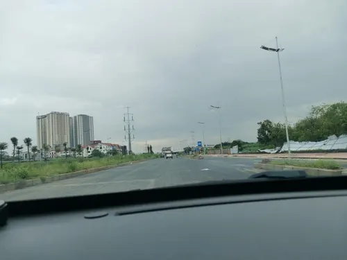
Restaurants and cafes22

Quận Cafe
Cafe · Coffee Shop, Bubble Tea · 1.7 km
12 Đường Phú Minh, Phường Minh Khai
Mo-Su 07:00-23:00
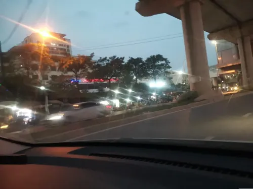
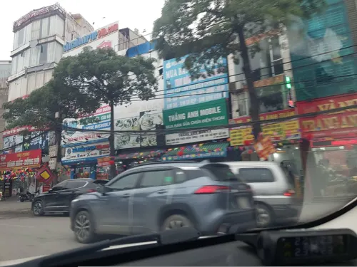
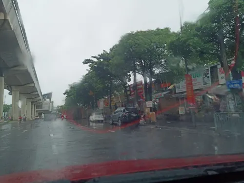
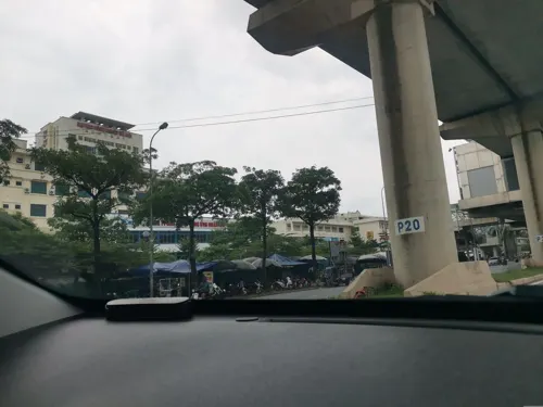


10 more on the map.
Churches and places of worship4

Advertisement
Shopping3
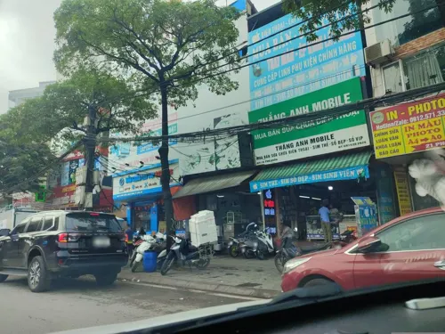
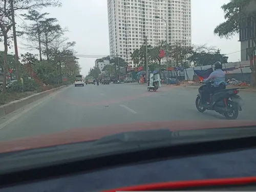



Gas and EV charging2
Schools, colleges and libraries30
Hanoi University of Industry
School · 2.2 km
298 Đường Cầu Diễn, Hà Nội
Hanoi University of Natural Resources and Environment
School · 4.5 km
Trường Trung cấp nghề Giao thông công chính Hà Nội
School · 2.4 km
186 Đường Cầu Diễn
Trường Trung học phổ thông Việt Hoàng
School · 1.2 km
Nhà C, Trường Đại học Thành Đô
Advertisement
Healthcare2
Map of Tây Tựu
64 places. The map loads OpenStreetMap tiles when you open it.
Getting there and nearby towns
Noi Bai International Airport (HAN) is the nearest airport with scheduled flights listed in OpenStreetMap, 18 km away.
- Bắc Từ Liêm 2 km southeast, about 2 min by car
- Tây Hồ 8 km east, about 8 min by car
- Cầu Giấy 9 km southeast, about 9 min by car
- Thanh Xuân 11 km southeast, about 11 min by car
- Đống Đa 12 km southeast, about 12 min by car
- Hanoi 13 km southeast, about 13 min by car
- Hoàn Kiếm 13 km east, about 13 min by car
- Hai Bà Trưng 14 km southeast, about 14 min by car
- Long Bien 18 km east, about 18 min by car
- Phúc Yên 18 km north, about 18 min by car
Drive times are estimates from straight-line distance, not routes.
Local news
Headlines from INDB.
Reviews, tips and questions
Loading what members have shared...
Sources and licences
- GeoNames (CC BY 4.0): population, coordinates, regions and time zone
- Mapillary (see each image): photos
- OpenStreetMap contributors (ODbL 1.0): places, airports, map data
- Wikidata (CC0 1.0): elevation, founding date, time zone, website, landmarks and historic places
- Wikimedia Commons (see each image): photos
Photo credits
- Tòa nhà A10, Winall9x, CC BY-SA 4.0
- USAID provides humanitarian assistance in Vietnam (5070820377), USAID Vietnam, Public domain
- Đại Lộ Tây Thăng Long, Motbit, CC BY-SA 4.0
- Nhon station below platform - panorama, Tttrung, CC BY 4.0
- Nhon station viewed from entrance, Tttrung, CC BY 4.0
- Street-level photo, hn_front_1, CC BY-SA 4.0
- Street-level photo, hn_left_2, CC BY-SA 4.0
- Street-level photo, hn_right_1, CC BY-SA 4.0
- Street-level photo, hn_left_2, CC BY-SA 4.0
- Street-level photo, hn_right_1, CC BY-SA 4.0
- Street-level photo, hn_left_2, CC BY-SA 4.0
- Street-level photo, hn_front_1, CC BY-SA 4.0
- Street-level photo, hn_left_2, CC BY-SA 4.0
- Street-level photo, hn_right_1, CC BY-SA 4.0
- Street-level photo, hn_left_2, CC BY-SA 4.0
- Street-level photo, hn_left_2, CC BY-SA 4.0
- Street-level photo, hn_right_1, CC BY-SA 4.0
- Street-level photo, hn_left_2, CC BY-SA 4.0
Page built November 8, 2026. Spotted a mistake? Tell us or suggest a place.