


Why visit Thanh Liệt
Townapedia lists 7 museums and landmarks, 13 parks and trails, 33 places to eat, 6 places to stay and 1 attraction in and around town.
Highlights include Đống Đa Mound.
Weather in Thanh Liệt
Forecast from MET Norway (CC BY 4.0). Full forecast
Things to do1

Museums and landmarks7

Đống Đa Mound
Monument and historic site · 5.1 km
Historic burial mound in Hanoi, Vietnam

Đài tưởng niệm Chủ tịch Hồ Chí Minh (Đại Từ)
Monument and historic site · 1.5 km
Parks, trails and playgrounds13




1 more on the map.
Restaurants and cafes33

Quỳnh Quán
Restaurant · Vietnamese, Ice Cream, Kebab, Sandwich, Fish And Chips · 0.9 km
Bún bò;bún riêu
Ki ốt 02 D Vinaconex 2 Nghiêm Xuân Yêm, Hà Nội
Mo-Su 07:00-22:00

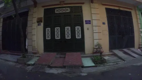
Hội quán thực dưỡng
Restaurant · Vietnamese · 2.1 km
59C1 Khu đô thị Đại Kim Phố Nguyễn Cảnh Dị, Phường Định Công
Mo-Sa 10:00-20:00
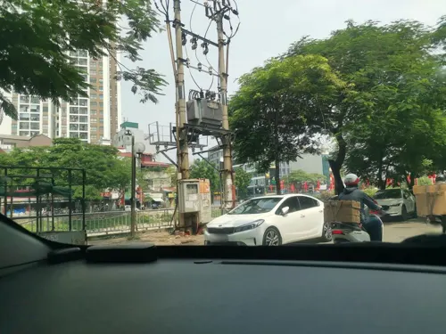
501 Coffee
Cafe · Coffee Shop, Tầng 5 Số 501 Vũ Tông Phan · 2.2 km
501 Phố Vũ Tông Phan, Hà Nội
Mo-Su 07:00-23:00
Tạp Hóa Tuấn Nhung
Restaurant · 1.9 km
65 Xóm Lẻ Đường tân triều, Hà Nội
Mo-Su 08:00-22:00
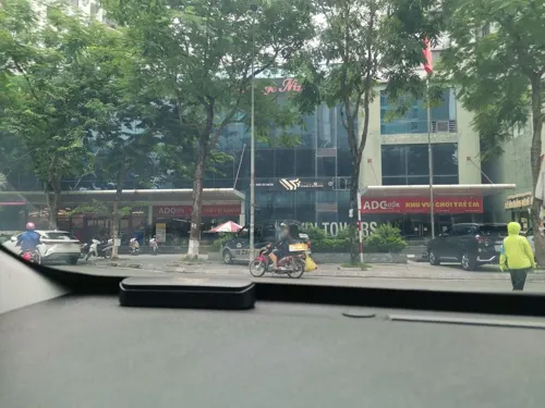


The Coffee House
Cafe · Coffee Shop, Vietnamese · 0.7 km
G1 Khu đô thị Tây Nam Linh Đàm
21 more on the map.
Where to stay6
Churches and places of worship29
Shopping22
Gas and EV charging10
Schools, colleges and libraries52
Healthcare11
Phòng Khám Đa Khoa Linh Đàm
Clinic and pharmacy · 1.3 km
M4TT6 Bắc Linh Đàm, Hà Nội
Vietnam National Cancer Hospital - Campus 3
Hospital · 1.8 km
30 Đường Cầu Bươu, Hà Nội
Map of Thanh Liệt
184 places. The map loads OpenStreetMap tiles when you open it.
Getting there and nearby towns
Noi Bai International Airport (HAN) is the nearest airport with scheduled flights listed in OpenStreetMap, 28 km away.
- Thanh Xuân 4 km northwest, about 4 min by car
- Đống Đa 5 km north, about 5 min by car
- Hanoi 7 km north, about 7 min by car
- Hai Bà Trưng 6 km northeast, about 6 min by car
- Cầu Giấy 7 km north, about 7 min by car
- Hoàn Kiếm 8 km northeast, about 8 min by car
- Vĩnh Tuy 8 km northeast, about 8 min by car
- Long Bien 11 km northeast, about 11 min by car
- Tây Hồ 11 km north, about 11 min by car
- Bắc Từ Liêm 13 km northwest, about 13 min by car
Drive times are estimates from straight-line distance, not routes.
Local news
Headlines from INDB.
Reviews, tips and questions
Loading what members have shared...
Sources and licences
- GeoNames (CC BY 4.0): population, coordinates, regions and time zone
- Mapillary (see each image): photos
- OpenStreetMap contributors (ODbL 1.0): places, airports, map data
- Wikidata (CC0 1.0): elevation, founding date, time zone, website, landmarks and historic places
- Wikimedia Commons (see each image): photos
Photo credits
- Go Dong Da 3, The original uploader was Bình Giang at Vietnamese Wikipedia ., Public domain
- Hanoi University of Science and Technology - DSC04501, Daderot, CC0
- Nha dieu hanh 144 Xuan Thuy 26Jan2005-01s, VNU Media, CC BY-SA 4.0
- ToanhatrangdaihocHaNoi, Unknown author, CC BY-SA 3.0
- VNU University of Science, Amenoc, CC0
- Kim Giang Road, Hanoi 36, Ltn12345, CC BY-SA 4.0
- Kim Giang Road, Hanoi 01, Ltn12345, CC BY-SA 4.0
- Đình thờ danh nhân tiên triết Chu Văn An, Ltn12345, CC BY-SA 4.0
- Đình thờ danh nhân tiên triết Chu Văn An 10, Ltn12345, CC BY-SA 4.0
- Đình thờ danh nhân tiên triết Chu Văn An 09, Ltn12345, CC BY-SA 4.0
- Đình thờ danh nhân tiên triết Chu Văn An 04, Ltn12345, CC BY-SA 4.0
- Đình thờ danh nhân tiên triết Chu Văn An 05, Ltn12345, CC BY-SA 4.0
- Kim Giang Road, Hanoi 02, Ltn12345, CC BY-SA 4.0
- Kim Giang Road, Hanoi 06, Ltn12345, CC BY-SA 4.0
- Chùa Bằng 11, Ltn12345, CC BY-SA 4.0
- Kim Giang Road, Hanoi 07, Ltn12345, CC BY-SA 4.0
- Kim Giang Road, Hanoi 35, Ltn12345, CC BY-SA 4.0
- Cầu Bắc Linh Đàm, Hà Nội 01, Ltn12345, CC BY-SA 4.0
- Bằng Liệt Street, Hanoi 12, Ltn12345, CC BY-SA 4.0
- Nguyễn Phan Chánh Street, Hanoi 02, Ltn12345, CC BY-SA 4.0
- Tô Lịch River, Hanoi 15, Ltn12345, CC BY-SA 4.0
- Bằng Liệt Street, Hanoi 14, Ltn12345, CC BY-SA 4.0
- Bằng Liệt Street, Hanoi 13, Ltn12345, CC BY-SA 4.0
- Trend mới của mình, Tranducthai1234abcdzombie, CC BY-SA 4.0
- Nguyễn Phan Chánh Street, Hanoi 2022-07-13 0000 02, Ltn12345, CC BY-SA 4.0
- Kim Giang Road, Hanoi 34, Ltn12345, CC BY-SA 4.0
- Nguyễn Phan Chánh Street, Hanoi 2022-07-13 0000 03, Ltn12345, CC BY-SA 4.0
- Nguyễn Phan Chánh Street, Hanoi 2022-07-13 0000 04, Ltn12345, CC BY-SA 4.0
- Kim Giang Road, Hanoi 08, Ltn12345, CC BY-SA 4.0
- Kim Giang Road, Hanoi 16, Ltn12345, CC BY-SA 4.0
- Nguyễn Phan Chánh Street, Hanoi 2022-07-13 0000 05, Ltn12345, CC BY-SA 4.0
- Nguyễn Phan Chánh Street, Hanoi 2022-07-13 0000 06, Ltn12345, CC BY-SA 4.0
- Kim Giang Road, Hanoi 33, Ltn12345, CC BY-SA 4.0
- Nguyễn Phan Chánh Street, Hanoi 2022-07-13 0000 01, Ltn12345, CC BY-SA 4.0
- Kim Giang Road, Hanoi 17, Ltn12345, CC BY-SA 4.0
- Văn Phòng Công Ty In Ấn Miền Bắc, Inanmienbac https://inanmienbac.com Dịch vụ: In tờ rơi giá rẻ In Brochure giá rẻ In Name Card giá rẻ In Catalogue giá rẻ In túi giấy giá rẻ In thẻ nhựa giá rẻ, CC BY-SA 4.0
- Ring Road 3 (Hanoi), Ltn12345, CC BY-SA 4.0
- Nguyễn Phan Chánh Street, Hanoi 2022-07-13 002, Ltn12345, CC BY-SA 4.0
- French Indo-China 10 cents silver coin from 1937 (A), Donald Trung, CC BY-SA 4.0
- Nguyễn Hữu Thọ Road, Hanoi 2022-07-13 001, Ltn12345, CC BY-SA 4.0
- Street-level photo, kaart_3, CC BY-SA 4.0
- Street-level photo, hn_right_1, CC BY-SA 4.0
- Street-level photo, hn_front_1, CC BY-SA 4.0
- Street-level photo, hn_left_2, CC BY-SA 4.0
- Street-level photo, hn_right_2, CC BY-SA 4.0
- Street-level photo, hn_left_2, CC BY-SA 4.0
- Street-level photo, hn_left_2, CC BY-SA 4.0
- Street-level photo, hn_right_1, CC BY-SA 4.0
- Street-level photo, hn_front_1, CC BY-SA 4.0
- Street-level photo, hn_front_1, CC BY-SA 4.0
- Street-level photo, hn_right_1, CC BY-SA 4.0
- Street-level photo, hn_left_2, CC BY-SA 4.0


Page built November 8, 2026. Spotted a mistake? Tell us or suggest a place.