


Why visit Thạnh Phú
Townapedia lists 2 parks and trails, 3 places to eat and 1 attraction in and around town.
Weather in Thạnh Phú
Forecast from MET Norway (CC BY 4.0). Full forecast
About Thạnh Phú
Thạnh Phú is a rural district of Bến Tre province in the Mekong Delta region of Vietnam. As of 2019 the district had a population of 127,841. The district covers an area of 401 km2 (155 sq mi). The district capital lies at Thạnh Phú.
From the Wikipedia article Thạnh Phú district (this version), under CC BY-SA 4.0.
Things to do1

Parks, trails and playgrounds2

Restaurants and cafes3




Bánh Bao Bến Tre - 3 Của
Fast food · Deli · 13.4 km
4 Thái Hữu Kiểm
Mo-Su 04:00-24:00
Churches and places of worship4


Shopping1
Gas and EV charging3
Schools, colleges and libraries8
Healthcare1
Map of Thạnh Phú
23 places. The map loads OpenStreetMap tiles when you open it.
Getting there and nearby towns
Vung Tau Airport (VTG) is the nearest airport with scheduled flights listed in OpenStreetMap, 79 km away.
- Trà Vinh 19 km west, about 19 min by car
- Bến Tre 36 km northwest, about 36 min by car
- Duyên Hải 35 km south, about 35 min by car
- Ấp Tân Ngãi 41 km northwest, about 41 min by car
- Tân Ninh 44 km north, about 44 min by car
- Mỹ Tho 49 km north, about 49 min by car
- Gò Công 49 km north, about 49 min by car
- Tân An 66 km north, about 1 h by car
- Sóc Trăng 71 km southwest, about 1 h 15 min by car
- Quận Sáu 90 km north, about 1 h 30 min by car
Drive times are estimates from straight-line distance, not routes.
Local news
Headlines from INDB.
Reviews, tips and questions
Loading what members have shared...
Sources and licences
- GeoNames (CC BY 4.0): population, coordinates, regions and time zone
- Mapillary (see each image): photos
- OpenStreetMap contributors (ODbL 1.0): places, airports, map data
- Wikidata (CC0 1.0): elevation, founding date, time zone, website
- Wikimedia Commons (see each image): photos
- Wikipedia (CC BY-SA 4.0): overview and history text
Photo credits
- Ben Tre -Kutschenfahrt, Brücke, Franzfoto, CC BY-SA 3.0
- Thạnh Phú, Bến Tre năm 2020, Trantuonglam, CC BY-SA 4.0
- Wheat bran, Phu Thinh Co, CC BY-SA 2.0
- ISS023-E-57545 - View of Earth, Earth Science and Remote Sensing Unit , Lyndon B. Johnson Space Center, Public domain
- ISS031-E-127475 - View of Earth, Earth Science and Remote Sensing Unit , Lyndon B. Johnson Space Center, Public domain
- ISS031-E-125945 - View of Earth, Earth Science and Remote Sensing Unit , Lyndon B. Johnson Space Center, Public domain
- ISS023-E-57544 - View of Earth, Earth Science and Remote Sensing Unit , Lyndon B. Johnson Space Center, Public domain
- ISS023-E-57543 - View of Earth, Earth Science and Remote Sensing Unit , Lyndon B. Johnson Space Center, Public domain
- ISS022-E-54060 - View of Earth, Earth Science and Remote Sensing Unit , Lyndon B. Johnson Space Center, Public domain
- Fishmeal powder, Phu Thinh Co, CC BY-SA 2.0
- USAID provides support to people affected by drought in southern provinces (28062571516), USAID Vietnam, Public domain
- USAID provides support to people affected by drought in southern provinces (28019152421), USAID Vietnam, Public domain
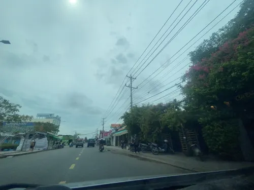
- Street-level photo, iphone11s16-4-1, CC BY-SA 4.0


Page built November 8, 2026. Spotted a mistake? Tell us or suggest a place.