


thị xã Quảng Trị, Vietnam
Quảng Trị
thị xã Quảng Trị is a town of 23,356 people in Quang Tri, Vietnam, founded in September 16, 1989.
Why visit thị xã Quảng Trị
Townapedia lists 9 museums and landmarks, 1 park or trail, 1 place to eat and 4 places to stay in and around town.
Highlights include Quảng Trị Citadel.
Weather in thị xã Quảng Trị
Forecast from MET Norway (CC BY 4.0). Full forecast
About thị xã Quảng Trị
Quảng Trị () is a ward in Quảng Trị Province in the North Central Coast region of Vietnam.
From the Wikipedia article Quảng Trị (ward) (this version), under CC BY-SA 4.0.
Museums and landmarks9


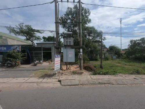
Parks, trails and playgrounds1

Restaurants and cafes1
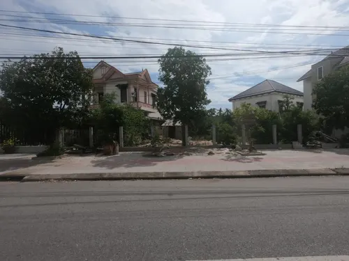
Where to stay4

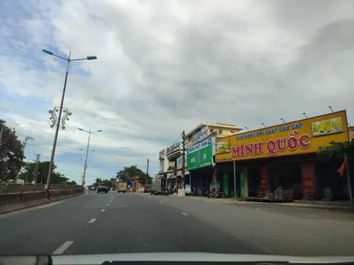
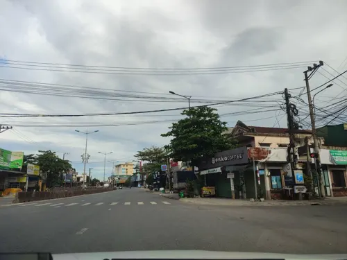


History
The Sino-Vietnamese name Quảng Trị (廣治) was given by Vietnamese Confucian administrators.
A major feature of the town is the Quảng Trị Citadel, built in 1824, as a military bastion during the 4th year of the reign of Minh Mạng. It is an example of Vauban architecture and it later became the administrative head office of the Nguyễn dynasty in Quảng Trị Province (1809–1945).
Quảng Trị was an area of early Catholic presence and by 1913, the nearest railway station to the starting point of the La Vang pilgrimage.
During the Vietnam War, when the province was the South's border with North Vietnam, it suffered a major attack in the January 1968 Tet Offensive and it was the only South Vietnamese provincial capital to be captured by the North Vietnamese forces in the 1972 Easter Offensive before being recaptured in September 1972. During the Vietnam War the city became what some regard as the most bombed city in the world.
From the History section of Quảng Trị (ward) on Wikipedia, under CC BY-SA 4.0.
Churches and places of worship4
Bến Thả Hoa - Đền Tưởng Niệm Bờ Nam Thạch Hãn
Place of worship
Ngô Quyền, Quảng Trị
Gas and EV charging7
Schools, colleges and libraries8
Trường Trung học phổ thông Quảng Trị
School · 1.0 km
146 Hai Bà Trưng
Healthcare2
Map of thị xã Quảng Trị
36 places. The map loads OpenStreetMap tiles when you open it.
Getting there and nearby towns
Phu Bai International Airport (HUI) is the nearest airport with scheduled flights listed in OpenStreetMap, 68 km away.
- Thôn La Vang Chinh 7 km southeast, about 7 min by car
- Ðông Hà 11 km northwest, about 11 min by car
- Giáo Liêm 12 km north, about 12 min by car
- Cam Lộ 21 km west, about 21 min by car
- Gio Linh 22 km northwest, about 22 min by car
- Phong Điền 27 km southeast, about 27 min by car
- Krông Klang 32 km west, about 32 min by car
- Hương Trà 40 km southeast, about 40 min by car
- Hồ Xá 40 km northwest, about 40 min by car
- Huế 54 km southeast, about 54 min by car
Drive times are estimates from straight-line distance, not routes.
Local news
Headlines from INDB.
Reviews, tips and questions
Loading what members have shared...
Sources and licences
- GeoNames (CC BY 4.0): population, coordinates, regions and time zone
- Mapillary (see each image): photos
- OpenStreetMap contributors (ODbL 1.0): places, airports, map data
- Wikidata (CC0 1.0): elevation, founding date, time zone, website
- Wikimedia Commons (see each image): photos
- Wikipedia (CC BY-SA 4.0): overview and history text
Photo credits
- Thành cổ Quảng Trị ngày nay, Bùi Thụy Đào Nguyên, CC BY-SA 3.0
- Thành cổ Quảng Trị 4, Bùi Thụy Đào Nguyên, CC BY-SA 3.0
- My Duc Railway Station, 2013, Clay Gilliland, CC BY-SA 2.0
- Passing thru Quang Tri (12060183574), Clay Gilliland, CC BY-SA 2.0
- Tàu khách di sản HQ2 thông qua ga Quảng Trị lúc 08h40 sáng ngày Quốc khánh 02.09.2026, Nguyenbaotrung725, CC BY 4.0
- Quang Tri (12060168284), Clay Gilliland, CC BY-SA 2.0
- Feierabendverkehr - panoramio, aachim3, CC BY 3.0
- Đại lý thu mua Phế Liệu tại Quảng Trị - Hoàng Huế, Dailyhoanghue, CC0
- In Quang Tri Province (12060189084), Clay Gilliland, CC BY-SA 2.0
- ISS066-E-26078 - View of Earth, Earth Science and Remote Sensing Unit , Lyndon B. Johnson Space Center, Public domain
- ISS026-E-6874 - View of Earth, Earth Science and Remote Sensing Unit , Lyndon B. Johnson Space Center, Public domain
- ISS054-E-25653 - View of Earth, Earth Science and Remote Sensing Unit, NASA Johnson Space Center, Public domain
- ISS066-E-24870 - View of Earth, Earth Science and Remote Sensing Unit , Lyndon B. Johnson Space Center, Public domain
- ISS066-E-24868 - View of Earth, Earth Science and Remote Sensing Unit , Lyndon B. Johnson Space Center, Public domain
- ISS066-E-24869 - View of Earth, Earth Science and Remote Sensing Unit , Lyndon B. Johnson Space Center, Public domain
- ISS066-E-26076 - View of Earth, Earth Science and Remote Sensing Unit , Lyndon B. Johnson Space Center, Public domain
- ISS066-E-26077 - View of Earth, Earth Science and Remote Sensing Unit , Lyndon B. Johnson Space Center, Public domain
- Street-level photo, hn_right_1, CC BY-SA 4.0
- Street-level photo, hn_right_1, CC BY-SA 4.0
- Street-level photo, hn_right_1, CC BY-SA 4.0
- Street-level photo, rsnaru, CC BY-SA 4.0
- Street-level photo, hn_right_1, CC BY-SA 4.0
- Street-level photo, hn_right_1, CC BY-SA 4.0
- Street-level photo, hn_right_1, CC BY-SA 4.0
- Street-level photo, rsnaru, CC BY-SA 4.0
- Street-level photo, rsnaru, CC BY-SA 4.0
- Street-level photo, rsnaru, CC BY-SA 4.0
- Street-level photo, hn_right_1, CC BY-SA 4.0


Page built November 8, 2026. Spotted a mistake? Tell us or suggest a place.