


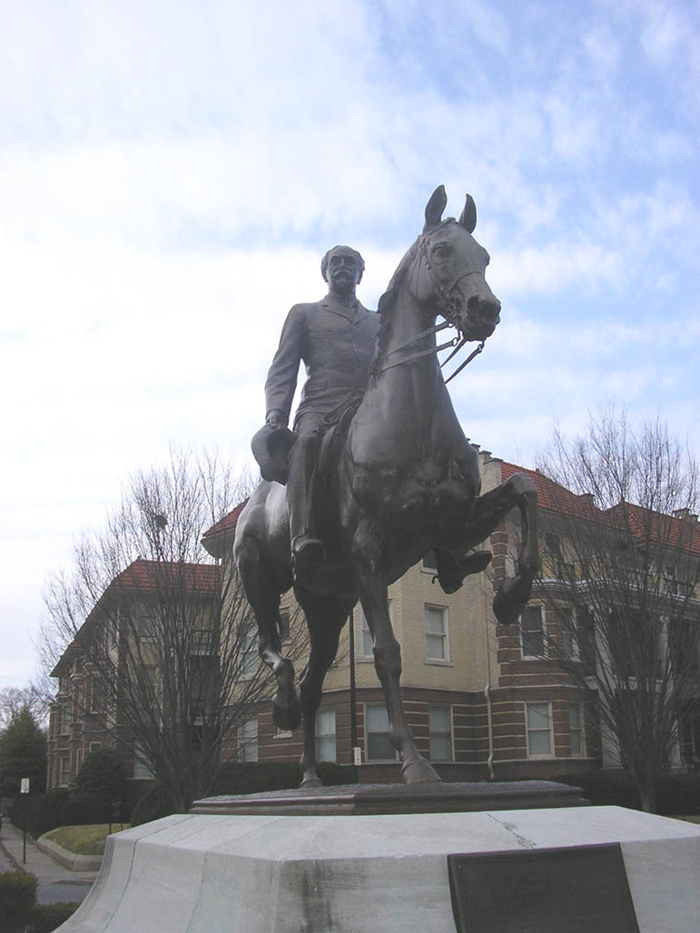


Audubon Park, Kentucky
Audubon Park is a city of 1,707 people in Jefferson County, Kentucky, founded in 1912.
Why visit Audubon Park
Townapedia lists 88 museums and landmarks, 22 parks and trails, 61 places to eat, 18 places to stay and 11 attractions in and around town.
Highlights include Bellarmine University, Amphitheatre Auditorium, Louisville Male High School and Audubon Park.
July is the warmest month, with average highs of 89°F; January lows average 28°F.
Weather in Audubon Park
Forecast from the National Weather Service. Full forecast
About Audubon Park
Audubon Park is a home rule-class city in central Jefferson County, Kentucky, United States. The population was 1,433 as of the 2020 census, down from 1,473 at the 2010 census. It is located about 5 miles (8 km) south of downtown Louisville and is surrounded on all sides by the city of Louisville.
From the Wikipedia article Audubon Park, Kentucky (this version), under CC BY-SA 4.0.
Things to do11

Bellarmine University
School · 1.7 mi
Private, liberal arts, Division I university affiliated with the Catholic church
2001 Newburg Road

Amphitheatre Auditorium
Cinema and theater · 2.4 mi
Louisville's Lost Venue

Kentucky Kingdom
Monument and historic site · 1.3 mi
Amusement park in Louisville, Kentucky
Kentucky Theater
Cinema and theater · 3.4 mi
Former movie theater in Louisville, Kentucky, United States, now used as a restaurant
Spalding University
School · 3.1 mi
Private Catholic university in Louisville, Kentucky, United States
University of Louisville College of Business
School · 2.0 mi
Constituent college of the University of Louisville
W. L. Lyons Brown Theatre
Cinema and theater · 3.3 mi
Performing arts center and former movie theater in Louisville, Kentucky, United States

Museums and landmarks88

Louisville Male High School
Monument and historic site · National Register of Historic Places · 1.4 mi
High school in Louisville, Jefferson County, Kentucky
4409 Preston Highway, Louisville
Audubon Park
Monument and historic site · National Register of Historic Places
City in Kentucky
Board of Extension of the Methodist Episcopal Church, South
Monument and historic site · National Register of Historic Places · 2.8 mi
Church building in Kentucky, United States of America

Brown Hotel
Monument and historic site · National Register of Historic Places · 3.3 mi
Hotel in Louisville, United States

Bullock-Clifton House
Monument and historic site · National Register of Historic Places · 1.8 mi
Historic house in Kentucky, United States
Calvary Episcopal Church
Monument and historic site · National Register of Historic Places · 3.1 mi
Church building in Kentucky, United States of America

Cave Hill Cemetery
Monument and historic site · National Register of Historic Places · 2.9 mi
Cemetery in Louisville, Kentucky
Cherokee Triangle
Monument and historic site · National Register of Historic Places · 2.2 mi
Human settlement in Louisville, Kentucky, United States of America
Churchill Downs
Monument and historic site · National Register of Historic Places · 2.3 mi
Thoroughbred racetrack in Louisville, Kentucky, United States

College Street Presbyterian Church
Monument and historic site · National Register of Historic Places · 3.1 mi
Church building in Kentucky, United States of America
Commodore Apartment Building
Monument and historic site · National Register of Historic Places · 2.4 mi
Building in Bonnycastle, Kentucky, United States
Confederate Monument in Louisville
Monument and historic site · National Register of Historic Places · 2.1 mi
Sculpture in Kentucky, United States of America
76 more on the map.
Parks, trails and playgrounds22



Joe Creason Park
Park · 1.2 mi
Park in Louisville, United States of America



Broadbent Arena
Sports field and stadium · 1.1 mi
3100 Broadbent Drive, Louisville
10 more on the map.
Restaurants and cafes61

Oskar's Slider Bar
Restaurant · Burger, American · 0.8 mi
Comfort Food - Small Plates - Designer Burgers
3799 Poplar Level Road, Louisville
Tu-Su 11:00-22:00
80/20 @ Kaelin's
Restaurant · Burger · 1.5 mi
1801 Newburg Road
Mo-Th 11:00-22:00, Fr-Sa 11:00-23:00; Su 11:00-21:00
Bandido Taqueria Mexicana
Restaurant · Mexican · 1.5 mi
423 University Blvd, Louisville
Mo-Su 08:00-24:00

Heine Brothers' Coffee
Cafe · Coffee Shop · 1.0 mi
822 Eastern Parkway, Louisville
Mo-Fr 06:00-22:00; Sa 06:30-22:00; Su 07:00-22:00

Monnik Beer Company
Brewery and winery · 1.4 mi
Buzzy brewery serving elevated American fare & cocktails in a trendy dining room or a cozy patio.
1036 East Burnett Avenue, Louisville
We,Th 11:00-24:00,09:00-18:00,09:00-18:00; Fr,Sa 11:00-01:00;...


Cracker Barrel
Diner · American · 1.3 mi
2701 Crittenden Drive, Louisville
Su-Th 06:00-22:00; Fr-Sa 06:00-23:00
49 more on the map.
History
Audubon Park was developed residentially in the early 20th century on 230 acres (0.93 km2) of hilly pastureland once owned by Gen. William Preston, who in turn had been granted the land in 1774 from the British government as payment for his services during the French and Indian War.
The land was sold to G. Robert Hunt in 1906, and the Audubon Park Country Club was built by avid golfer Russell Houston. The Audubon Park Realty Co. purchased the land in 1912 and named the neighborhood after wildlife painter John James Audubon. All but two of the city's 20 streets are named after birds.
Development was very slow until Louisville Gas and Electric laid gas mains and installed streetlights in the 1920s, at which point it was estimated that a new house was begun every two weeks. Most houses are traditional in design, with styles including Neo-colonial, Dutch colonial and Neo-federal, though some Craftsman-style California bungalows are present.
An early streetcar spur route ran to a station house near the center of the park (the station house has been converted to a private residence and still stands). The line was discontinued in the 1920s, although the tracks were not entirely removed until 1975. The city was formally incorporated by the state assembly in 1941.
From the History section of Audubon Park, Kentucky on Wikipedia, under CC BY-SA 4.0.
Where to stay18
Comfort Inn & Suites Louisville Airport Fair & Expo
Motel and hotel · 1.3 mi
2912 Crittenden Drive, Louisville
Holiday Inn Louisville Airport - Fair/Expo, an IHG Hotel
Motel and hotel · 1.4 mi
447 Farmington Avenue, Louisville
Home2 Suites by Hilton Louisville Airport Expo Center
Motel and hotel · 1.4 mi
3000 Crittenden Drive, Louisville
Best Western Louisville Airport Expo
Motel and hotel · 0.9 mi
4125 Preston Highway, Louisville
Churches and places of worship32
Saint Elizabeth of Hungary Catholic Church
Church · Roman Catholic · 1.4 mi
1032 East Burnett Avenue, Louisville
Epworth Methodist Evangelical Church
Church · National Register of Historic Places · 2.3 mi
Immanuel Chapel Protestant Episcopal Church
Church · National Register of Historic Places · 2.3 mi
Our Mother of Sorrows Catholic Church
Church · Roman Catholic · 1.1 mi
760 Eastern Parkway, Louisville
Shopping8
Gas and EV charging9
Schools, colleges and libraries57
Central High Magnet Career Academy
School · 3.9 mi
1130 West Chestnut Street, Louisville
Healthcare3
Map of Audubon Park
250 places. The map loads OpenStreetMap tiles when you open it.
Climate by month
Monthly table
| Month | High | Low | Rain | Snow |
|---|---|---|---|---|
| Jan | 44°F | 28°F | 3.4 in | 4.5 in |
| Feb | 48°F | 31°F | 3.4 in | 4.1 in |
| Mar | 58°F | 39°F | 4.6 in | 2.1 in |
| Apr | 70°F | 48°F | 4.8 in | 0.1 in |
| May | 78°F | 59°F | 5.2 in | 0.0 in |
| Jun | 86°F | 67°F | 4.3 in | 0.0 in |
| Jul | 89°F | 71°F | 4.0 in | 0.0 in |
| Aug | 88°F | 70°F | 3.7 in | 0.0 in |
| Sep | 82°F | 62°F | 3.7 in | 0.0 in |
| Oct | 70°F | 50°F | 3.7 in | 0.1 in |
| Nov | 58°F | 39°F | 3.4 in | 0.3 in |
| Dec | 47°F | 32°F | 4.1 in | 2.2 in |
U.S. Climate Normals 1991-2020 for Louisville Intl Ap 72423 (2 mi away), NOAA NCEI.
People and cost of living
American Community Survey 5-year estimates, 2020-2024, U.S. Census Bureau. Estimates have margins of error, larger for small towns.
Disaster history
Jefferson County has had 19 federal disaster declarations since 2000, most often for severe storms.
- 2026-01-24: Severe Winter Storm (Winter Storm)
- 2025-04-24: Severe Storms, Straight-Line Winds, Tornadoes, Flooding, Landslides, And Mudslides (Severe Storm)
- 2025-04-03: Severe Storms, Straight-Line Winds, Tornadoes, And Flooding (Severe Storm)
- 2025-02-24: Severe Storms, Straight-Line Winds, Flooding, Landslides, And Mudslides (Severe Storm)
- 2025-02-16: Severe Storms, Straight-Line Winds, Flooding, And Landslides (Severe Storm)
- 2024-05-22: Severe Storms, Straight-Line Winds, Tornadoes, Landslides, And Mudslides (Severe Storm)
OpenFEMA disaster declarations summaries.
Getting there and nearby towns
Louisville Muhammad Ali International Airport (SDF) is the nearest airport with scheduled flights listed in OpenStreetMap, 2 miles away.
- Louisville/Jefferson County 5 mi southeast, about 8 min by car
- Shively 5 mi west, about 8 min by car
- St. Matthews 6 mi northeast, about 9 min by car
- Clarksville 8 mi north, about 13 min by car
- Jeffersontown 9 mi east, about 14 min by car
- Jeffersonville 9 mi north, about 15 min by car
- New Albany 9 mi northwest, about 15 min by car
- Lyndon 9 mi northeast, about 14 min by car
- Barbourmeade 9 mi northeast, about 15 min by car
- Utica 10 mi northeast, about 16 min by car
Drive times are estimates from straight-line distance, not routes.
Local news
Headlines from INDB, the NEMICO news database.
Reviews, tips and questions
Loading what members have shared...
Sources and licences
- NCES EDGE (Public domain): public schools
- NOAA NCEI U.S. Climate Normals 1991-2020 (Public domain): climate by month
- OpenFEMA (Public domain): disaster declarations
- OpenStreetMap contributors (ODbL 1.0): places, airports, map data
- U.S. Census Bureau (Public domain): population, income, housing, education, commute
- Wikidata (CC0 1.0): elevation, founding date, time zone, website, landmarks and historic places
- Wikimedia Commons (see each image): photos
- Wikipedia (CC BY-SA 4.0): overview and history text
Photo credits
- Audubon park ky, Retired username at en.wikipedia, CC BY-SA 3.0
- Louisville Male High School, old building, Nyttend, Public domain
- Louisville Zoo - March 2021, BlueShirtz, CC BY-SA 4.0
- John B. Castleman Monument, Photo taken by w.marsh on 2/27/06, Public domain
- Steam Engine 20, 1735 Bardstown, Nyttend, Public domain
- Willam R. Belknap School, Nyttend, Public domain
- German Evangelical Church of Christ Complex, Nyttend, Public domain
- Steam Engine Company 11, Louisville, Nyttend, Public domain
- Limerick Historic District, Censusdata at English Wikipedia, CC BY-SA 3.0
- Steam Engine Company No. 7, Nyttend, Public domain
- St Francis on Bardstown in Louisville, Nyttend, Public domain
- The Brown Hotel, Louisville, KY, The original uploader was Derek.cashman at English Wikipedia ., CC BY-SA 3.0
- St. Vincent de Paul Catholic Church in Louisville, Nyttend, Public domain
- Originalhighlands, Retired username at en.wikipedia, CC BY-SA 3.0
- Werne's Row 4th and Hill, Old Louisville, The original uploader was Retired username at English Wikipedia ., CC BY 2.5
- Cave hill-rework, Carptrash at English Wikipedia, Public domain
- Heyburn side, W.marsh, CC BY-SA 3.0
- Louisville Fifth Ward School, Nyttend, Public domain
- Carnegie Library in Louisville, w.marsh, CC BY 2.0
- Louisville War Memorial Auditorium, Nyttend, Public domain
- Louisville Public Library, The original uploader was Retired username at English Wikipedia ., CC BY 2.5
- Steam Engine 20, 1330 Bardstown, Nyttend, Public domain
- Holy Name School in Louisville, Nyttend, Public domain
- Bullock clifton, Unknown author, Public domain
- Fourth Avenue Methodist Church in Old Louisville, Nyttend, Public domain
- Humphrey-McMeekin House, W.marsh, CC BY 2.0
- St Elizabeth of Hungary complex in Louisville, Nyttend, Public domain
- St. Therese of Lisieux Church, TheCatalyst31, CC0
- St. James Court fountain, Brando03 at English Wikipedia, Public domain
- J. Finzer and Brothers Company Building, Nyttend, Public domain
- Presentation Academy from the southwest, Nyttend, Public domain
- College Street Presbyterian Church site, Nyttend, Public domain
- Former St Paul's UCC and rectory, Nyttend, Public domain
- Farmington, Jack Boucher, Public domain
- Landward House, Nyttend, Public domain
- First Christian Church (Immanuel Baptist Church), Kenneth C. Zirkel, CC BY-SA 4.0
- Elks Athletic Club in Louisville, Nyttend, Public domain
- Stereum subtomentosum 219527066, Aaron Morris, CC BY 4.0
- Mapillary (2940153616219150, DL9GgKV0VVEvERnBhaCi2A) (chuck) 2018-02-13 19H24M27S000, chuck, CC BY-SA 4.0
- Mapillary (797491057827390, DL9GgKV0VVEvERnBhaCi2A) (chuck) 2018-02-13 19H24M29S000, chuck, CC BY-SA 4.0


Page built October 30, 2026. Spotted a mistake? Tell us or suggest a place.