


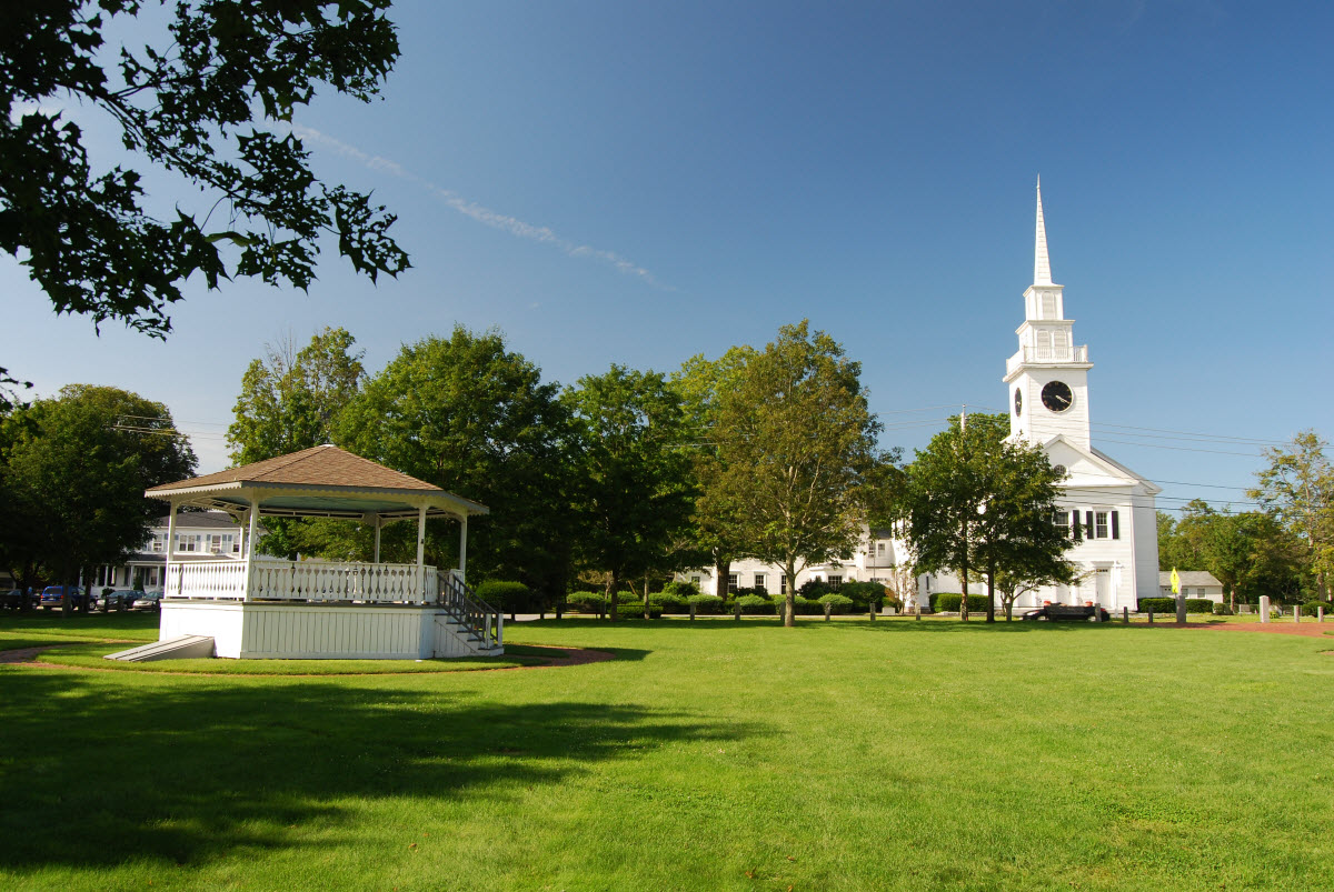

Bridgewater Town, Massachusetts
Bridgewater Town is a city of 28,471 people in Plymouth County, Massachusetts, founded in 1650.
Why visit Bridgewater Town
Townapedia lists 25 museums and landmarks, 87 parks and trails, 28 places to eat, 1 place to stay and 6 attractions in and around town.
Highlights include East Bridgewater Cinemas, C.P. Washburn Grain Mill, East Bridgewater Common Historic District and War Memorial Park.
July is the warmest month, with average highs of 83°F; January lows average 17°F.
Weather in Bridgewater Town
Forecast from the National Weather Service. Full forecast
About Bridgewater Town
Bridgewater is a city in Plymouth County, Massachusetts, United States. As of the 2020 U.S. census, the city's population was 28,633. The historic city center of Bridgewater is located approximately 25 miles (40 km) south of Boston, Massachusetts and approximately 35 miles east of Providence, Rhode Island. The town of Bridgewater was formerly a census-designated place (CDP) until 2010, when Bridgewater was granted city status.
From the Wikipedia article Bridgewater, Massachusetts (this version), under CC BY-SA 4.0.
Things to do6



Museums and landmarks25

C.P. Washburn Grain Mill
Monument and historic site · National Register of Historic Places · 6.2 mi
Mill in Middleborough, Massachusetts, United States
East Bridgewater Common Historic District
Monument and historic site · National Register of Historic Places · 4.2 mi
East Bridgewater, Massachusetts, listed on the NRHP in Massachusetts
Gen. Thomas Lincoln House
Monument and historic site · National Register of Historic Places · 6.3 mi
Taunton, Massachusetts, NRHP-listed
Leonard, Shaw & Dean Shoe Factory
Monument and historic site · National Register of Historic Places · 6.3 mi
Historic industrial property located at Rice and Peirce Streets in Middleborough, Massachusetts

Sachem Rock Farm
Monument and historic site · National Register of Historic Places · 3.5 mi
Historic farm in East Bridgewater, Massachusetts, United States

Tom Thumb House
Monument and historic site · National Register of Historic Places · 4.7 mi
Historic house in Middleborough, Massachusetts
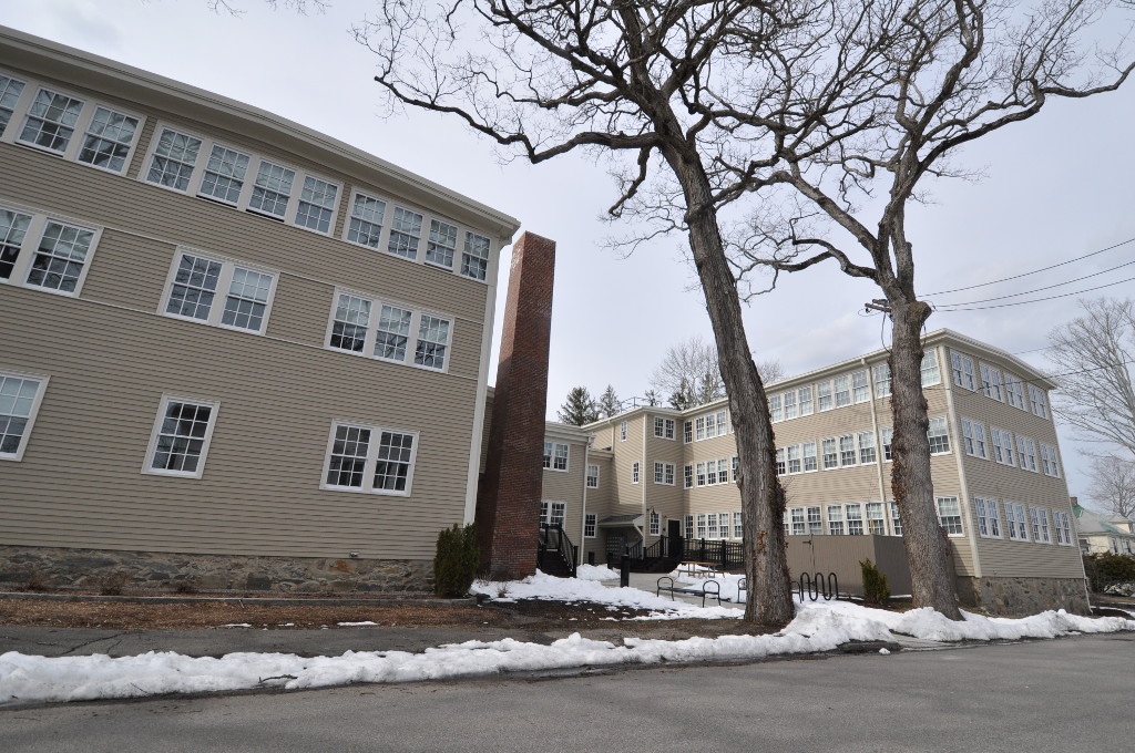
William H. McElwain School
Monument and historic site · National Register of Historic Places · 1.6 mi
Historic school in Bridgewater, Massachusetts


Pratt Free School - 1865
Monument and historic site · 2.8 mi
37 Plymouth Street, Middleborough
13 more on the map.
Parks, trails and playgrounds87


War Memorial Park
Park · National Register of Historic Places · 3.4 mi
Park in West Bridgewater, Massachusetts, USA




75 more on the map.
Restaurants and cafes28

Crystal's Kitchen
Restaurant · Asian · 3.5 mi
4 South Main Street
Tu-Th 11:00-21:00; Fr-Sa 11:00-21:30; Su 12:00-20:30


Tom & Jimmy's
Ice cream · 4.2 mi
235 North Main Street, West Bridgewater
Mo-Su 12:00-21:00
Vikings Pizza
Restaurant · Pizza · 4.3 mi
54 Bedford Street, East Bridgewater


16 more on the map.
History
This area was established as a part of Duxbury in 1645 by purchase from the Native Americans by 54 proprietors—most who did not settle there. Bridgewater was established as a Township on June 3, 1656 from Duxbury in Plymouth Colony. The town was placed in Plymouth County when counties were formed in 1685. For a brief time, the town was part of the Dominion of New England from 1686 to 1689. The township expanded by annexation between 1662 and 1798, and the town proper was bounded in 1846. The town is still in Plymouth County, though was in limbo, until the "Colony" was merged with Massachusetts Bay Colony in 1691 that became the Commonwealth of Massachusetts.
From the History section of Bridgewater, Massachusetts on Wikipedia, under CC BY-SA 4.0.
Where to stay1
Churches and places of worship19
Voice Of Truth Church
Place of worship · 3.9 mi
128 North Main Street, West Bridgewater
Shopping5
Gas and EV charging8
Schools, colleges and libraries39
Healthcare4
Map of Bridgewater Town
222 places. The map loads OpenStreetMap tiles when you open it.
Climate by month
Monthly table
| Month | High | Low | Rain |
|---|---|---|---|
| Jan | 38°F | 17°F | 4.2 in |
| Feb | 40°F | 18°F | 3.4 in |
| Mar | 47°F | 26°F | 5.2 in |
| Apr | 58°F | 35°F | 4.8 in |
| May | 68°F | 45°F | 3.8 in |
| Jun | 77°F | 54°F | 4.1 in |
| Jul | 83°F | 60°F | 4.2 in |
| Aug | 81°F | 58°F | 2.7 in |
| Sep | 74°F | 50°F | 4.3 in |
| Oct | 63°F | 40°F | 5.0 in |
| Nov | 53°F | 31°F | 4.6 in |
| Dec | 43°F | 24°F | 4.7 in |
U.S. Climate Normals 1991-2020 for Bridgewater (2 mi away), NOAA NCEI.
People and cost of living
American Community Survey 5-year estimates, 2020-2024, U.S. Census Bureau. Estimates have margins of error, larger for small towns.
Disaster history
Plymouth County has had 20 federal disaster declarations since 2000, most often for hurricanes.
- 2023-09-15: Hurricane Lee (Hurricane)
- 2022-04-18: Severe Winter Storm And Snowstorm (Snowstorm)
- 2020-03-27: Covid-19 Pandemic (Biological)
- 2020-03-13: Covid-19 (Biological)
- 2018-06-25: Severe Winter Storm And Flooding (Severe Storm)
- 2015-04-13: Severe Winter Storm, Snowstorm, And Flooding (Severe Storm)
OpenFEMA disaster declarations summaries.
Getting there and nearby towns
Plymouth Municipal Airport (PYM) is the nearest airport with scheduled flights listed in OpenStreetMap, 14 miles away.
- Brockton 8 mi north, about 13 min by car
- Abington 10 mi north, about 16 min by car
- Attleboro 16 mi west, about 26 min by car
- Quincy 20 mi north, about 32 min by car
- New Bedford 22 mi south, about 35 min by car
- Boston 25 mi north, about 40 min by car
- Providence 25 mi southwest, about 40 min by car
- Cambridge 29 mi north, about 46 min by car
- Arlington 32 mi north, about 52 min by car
- Lynn 35 mi north, about 56 min by car
Drive times are estimates from straight-line distance, not routes.
Local news
Headlines from INDB, the NEMICO news database.
Reviews, tips and questions
Loading what members have shared...
Sources and licences
- NCES EDGE (Public domain): public schools
- NOAA NCEI U.S. Climate Normals 1991-2020 (Public domain): climate by month
- OpenFEMA (Public domain): disaster declarations
- OpenStreetMap contributors (ODbL 1.0): places, airports, map data
- U.S. Census Bureau (Public domain): population, income, housing, education, commute
- Wikidata (CC0 1.0): elevation, founding date, time zone, website, landmarks and historic places
- Wikimedia Commons (see each image): photos
- Wikipedia (CC BY-SA 4.0): overview and history text
Photo credits
- Bridgewater Central Square, Massachusetts, Kenneth C. Zirkel, CC BY-SA 4.0
- Waterfall in the War Memorial Park, Ruthiedee, Attribution
- BridgewaterMA McElwainSchool, User:Magicpiano, CC BY-SA 4.0
- East Bridgewater Common, Marcbela (Marc N. Belanger), Public domain
- 104 Field St Taunton, Marcbela (Marc N. Belanger), Public domain
- MiddleboroughMA LeonardDeanShawShoeFactory2, Magicpiano, CC BY-SA 4.0
- CPWashburnGrainMill, Unknown author Unknown author, Public domain
- Tom Thumb House, Middleborough, MA, ProvRIGuy, CC BY-SA 3.0
- Sachem Rock Farm, East Bridgewater MA, John Phelan, CC BY 3.0
- Boyden Hall, Bridgewater State University, Kenneth C. Zirkel, CC BY-SA 4.0

Page built October 30, 2026. Spotted a mistake? Tell us or suggest a place.