


Why visit Brackel
Townapedia lists 83 museums and landmarks, 13 parks and trails, 132 places to eat, 7 places to stay and 6 attractions in and around town.
Highlights include Florianturm, Hansa Theater Hörde, Gedenkstein für sowjetische Opfer von 1941-1945 and Feldchenbahnbrücke.
Weather in Brackel
Forecast from MET Norway (CC BY 4.0). Full forecast
Things to do6

Florianturm
Monument and historic site · 5.7 km
Telecommunications tower and landmark of Dortmund(Germany)

Hansa Theater Hörde
Cinema and theater · 5.2 km
Theater in Dortmund, North Rhine-Westphalia, Germany

Opernhaus Dortmund
Cinema and theater · 6.0 km
Opera house of Dortmund


Museums and landmarks83
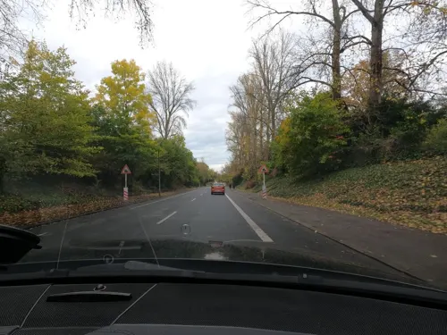
Gedenkstein für sowjetische Opfer von 1941-1945
Monument and historic site · 1.2 km




Museum of Art and Cultural History (Dortmund)
Museum · 5.7 km
Municipal museum in Dortmund, North Rhine-Westphalia, Germany

Museum Ostwall
Museum · 5.2 km
Museum of modern and contemporary art in Dortmund, Germany

Steinwache
Monument and historic site · 5.8 km
Memorial museum in Dortmund, Germany
Der Schäkel u. Gedenkstein (Industriedenkmal)
Monument and historic site · 3.0 km
Ehren- u. Grabmal für die Opfer des Grubenunglücks am 16.1.1943
Monument and historic site · 1.5 km
Ehren- und Grabmal für die Opfer des Unglücks vom 4.1.1961
Monument and historic site · 1.5 km
71 more on the map.
Parks, trails and playgrounds13





1 more on the map.
Restaurants and cafes132
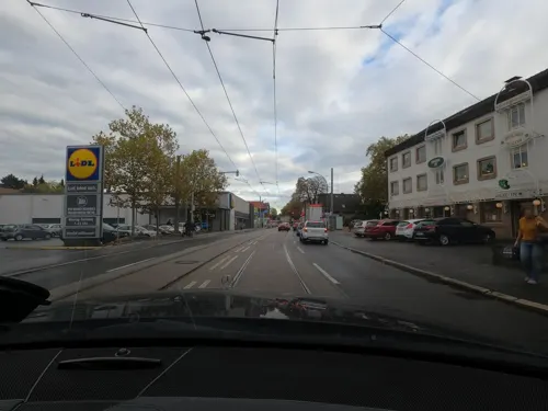
Net Viet
Restaurant · Vietnamese, Sushi
Vietnamesische Cuisine & Sushi
167 Brackeler Hellweg, Dortmund
Tu-Su,PH 11:30-21:00
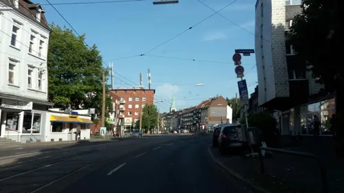
Akropolis
Restaurant · Greek · 2.9 km
Griechisches Restaurant und Imbiss
57 Körner Hellweg, Dortmund
Th-Mo 12:00-22:00
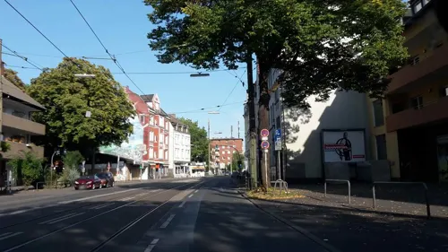
Bambus Garten
Restaurant · Chinese · 3.1 km
31 Berliner Straße, Dortmund
Tu-Su,PH 12:00-14:30,17:00-21:30


Grafenburg
Restaurant · 3.3 km
Kegelbahn
85 Am Bertholdshof, Dortmund
Mo,We,Fr 12:00-14:30,16:30-23:00; Sa 12:00-23:00; Su,PH 12:00-22:00
Grillhaus Zum Griechen
Restaurant · Greek · 1.9 km
128 Holzwickeder Straße, Dortmund
We,Th 12:00-21:00; Fr 12:00-22:00; Sa 12:00-22:00; Su,PH...
Italy To Go
Restaurant · Pizza · 2.1 km
229 Aplerbecker Straße, Dortmund
Mo-Fr 11:30-23:00; Sa,Su 12:30-23:00
L'Osteria
Restaurant · Italian · 3.0 km
3 Europaplatz, Dortmund
Mo-Th 12:00-22:00; Fr,Sa 12:00-24:00; Su,PH 12:00-22:00
METAXA Grill-Restaurant
Restaurant · Greek · 2.9 km
68 Körner Hellweg, Dortmund
Tu-Su,PH 12:00-22:00; Mo off
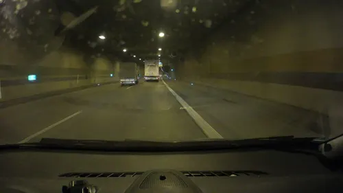
Maharaja - The Royals
Restaurant · Indian · 2.0 km
85 Akazienstraße, Dortmund
Mo-Tu 15:00-22:30; Th, Fr 15:00-22:30; Sa, Su 13:00-23:00
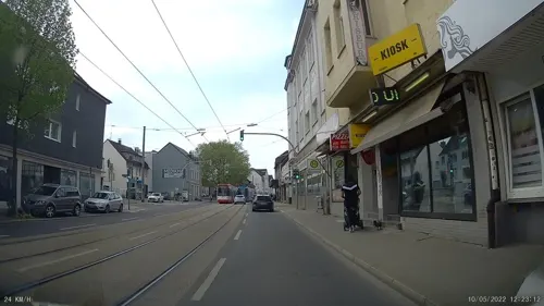
Palace India
Restaurant · Indian
107 Brackeler Hellweg, Dortmund
Mo,We-Sa 16:30-22:00; Su 12:30-21:00; Tu off
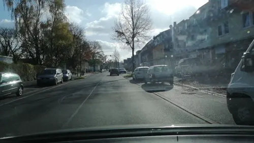


Pizzeria Adria
Restaurant · Pizza
66 Am Westheck, Dortmund
Tu-Th 12:00-15:00,17:00-21:00; Fr 16:00-21:00; Sa,Su 15:00-21:00;...
120 more on the map.
Where to stay7
Churches and places of worship30
Shopping35
Gas and EV charging15
Schools, colleges and libraries31
Healthcare23
Map of Brackel
250 places. The map loads OpenStreetMap tiles when you open it.
Getting there and nearby towns
Dortmund Airport (DTM) is the nearest airport with scheduled flights listed in OpenStreetMap, 5 km away.
- Dortmund 6 km west, about 6 min by car
- Wickede 5 km east, about 5 min by car
- Holzwickede 7 km southeast, about 7 min by car
- Schwerte 9 km south, about 9 min by car
- Lünen 10 km north, about 10 min by car
- Dorstfeld 10 km west, about 10 min by car
- Unna 10 km east, about 10 min by car
- Kamen 11 km northeast, about 11 min by car
- Mengede 12 km northwest, about 12 min by car
- Kirchlinde 12 km west, about 12 min by car
Drive times are estimates from straight-line distance, not routes.
Local news
Headlines from INDB.
Reviews, tips and questions
Loading what members have shared...
Sources and licences
- GeoNames (CC BY 4.0): population, coordinates, regions and time zone
- Mapillary (see each image): photos
- OpenStreetMap contributors (ODbL 1.0): places, airports, map data
- Wikidata (CC0 1.0): elevation, founding date, time zone, website, landmarks and historic places
- Wikimedia Commons (see each image): photos
Photo credits
- Dortmund Brackel ev Kirche Turm, Smial, CC BY-SA 2.0 de
- Dortmund Brackel ev Kirche IMGP7313, Smial, CC BY-SA 2.0 de
- Dortmund Kommende Brackel IMGP7275, Smial, CC BY-SA 2.0 de
- Dortmund Gedenktafel Brackel IMGP7283, Smial, CC BY-SA 2.0 de
- Dortmund Brackel ev Kirche IMGP7287, Smial, CC BY-SA 2.0 de
- NRW, Dortmund - Fernsehturm Florian 07, Островский Александр, Киев, CC BY-SA 3.0
- Oper Dortmund, Lucas Kaufmann , edited by User:Gisbert K, CC BY-SA 3.0
- Dortmund Museum Kunst Kulturgeschichte IMGP8282, Smial, CC BY-SA 2.0 de
- Dortmund-U-100616-14305-children, user:Mbdortmund, GFDL 1.2
- Steinwache Dortmund -StreetArt -LippeadlerCity -BjörnStankewitz -Fotokunst (28045830417), Björn Stankewitz from Lünen, Björn, CC BY 2.0
- Westfalenpark-100818-16770-Florian-Turm, Mbdortmund, GFDL 1.2
- Marienkirche-DSCN6357, Mathias Bigge, CC BY-SA 2.5
- Dortmund, Petrikirche, Palickap, CC BY-SA 3.0
- NRW, Dortmund, Altstadt - Propsteikirche St-Johann Baptist 01, Островский Александр, Киев, CC BY-SA 3.0
- Aplerbeck Kirche St Georg, Itti, CC BY-SA 3.0
- Reinoldi turm, User Smial on de.wikipedia, CC BY-SA 2.0 de
- Landeskrankenhaus Aplerbeck, Itti, CC BY-SA 3.0
- Asseln, die Lutherkirche foto2 2012-03-25 11.07, Michielverbeek, CC BY-SA 3.0
- Dortmund Knappschaftskrankenhaus Eingang, Ralf Hüls, CC BY-SA 2.0 de
- Feldchenbahnbrücke, Spantax, CC BY-SA 3.0
- Wilfried Rasch Klinik 004, Helfmann, CC BY-SA 4.0
- LWL Elisabeth-Klinik 002, Helfmann, CC BY-SA 4.0
- Auenwald, BinaFalcon, CC BY-SA 3.0
- Naturschutzgebiet Buschei 002, Tbachner, CC BY-SA 3.0
- Phönis-Haus Park, LWLer, CC BY-SA 4.0
- Naturschutzgebiet Buschei 001, Tbachner, CC BY-SA 3.0
- Alte Körne2, Itti, CC BY-SA 3.0 de
- 1967-Kommende-Dortmund, R-E-AL ( talk | contribs | Gallery ) (German Wikipedia), CC BY-SA 3.0
- Dortmund Kommende Eingang IMGP7265, Smial, CC BY-SA 2.0 de
- Street-level photo, saschahaberkorn, CC BY-SA 4.0
- Street-level photo, flugyflay, CC BY-SA 4.0
- Street-level photo, saschahaberkorn, CC BY-SA 4.0
- Street-level photo, saschahaberkorn, CC BY-SA 4.0
- Street-level photo, geogladbecker, CC BY-SA 4.0
- Street-level photo, saschahaberkorn, CC BY-SA 4.0
- Street-level photo, flugyflay, CC BY-SA 4.0
- Street-level photo, geogladbecker, CC BY-SA 4.0
- Street-level photo, flugyflay, CC BY-SA 4.0
- Street-level photo, uwekoch, CC BY-SA 4.0
- Street-level photo, saschahaberkorn, CC BY-SA 4.0
- Street-level photo, poxonline, CC BY-SA 4.0
- Street-level photo, saschahaberkorn, CC BY-SA 4.0
- Street-level photo, flugyflay, CC BY-SA 4.0
- Street-level photo, flugyflay, CC BY-SA 4.0
- Street-level photo, geogladbecker, CC BY-SA 4.0
- Street-level photo, uwekoch, CC BY-SA 4.0
- Street-level photo, VIA_KK, CC BY-SA 4.0
- Street-level photo, saschahaberkorn, CC BY-SA 4.0
- Street-level photo, uwekoch, CC BY-SA 4.0
- Street-level photo, VIA_KK, CC BY-SA 4.0
- Street-level photo, cuspis, CC BY-SA 4.0
- Street-level photo, flugyflay, CC BY-SA 4.0
- Street-level photo, flugyflay, CC BY-SA 4.0
- Street-level photo, flugyflay, CC BY-SA 4.0
- Street-level photo, uwekoch, CC BY-SA 4.0
- Street-level photo, amenophis, CC BY-SA 4.0
- Street-level photo, uwekoch, CC BY-SA 4.0
- Street-level photo, flugyflay, CC BY-SA 4.0
- Street-level photo, VIA_KK, CC BY-SA 4.0


Page built November 8, 2026. Spotted a mistake? Tell us or suggest a place.