


Why visit Mengede
Townapedia lists 27 museums and landmarks, 16 parks and trails, 49 places to eat, 2 places to stay and 4 attractions in and around town.
Highlights include Westfälisches Landestheater, Haus Bodelschwingh, Bergbaumuseum BV-Kleinzeche Max Rehfeld and Beerenbruch.
Weather in Mengede
Forecast from MET Norway (CC BY 4.0). Full forecast
Things to do4

Westfälisches Landestheater
Cinema and theater · 5.0 km
Theater in Germany

Brunosee
Scenic view · 2.8 km
Die "Aussichtsplattform" ist stark beschädigt und kaum noch nutzbar.
Museums and landmarks27

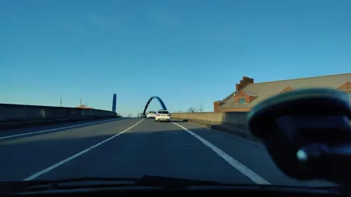


Bergbaumuseum ehem. Fördermaschinenhalle Schacht 3
Museum · 2.6 km
Sa[1] 10:00-16:00

Erinnerungsstele mit Gedenktafel für Sabine und Manfred Jockheck
Monument and historic site · 1.1 km
Gedenktafel für die gefallenen Arbeiter der Zeche Westhausen
Monument and historic site · 2.6 km
Grab- und Gedenkmal für die Opfer eines Grubenunglücks von 1935
Monument and historic site
Kriegerdenkmal in Bodelschwingh, Gefallene 1813-1814, 1870-1871, 1914-1918 und 1939-1945
Monument and historic site · 2.5 km
Kriegerdenkmal in Mengede, Gefallene 1866 und 1870/71
Monument and historic site
Kriegerdenkmal in Mengede, Gefallene 1914-1918
Monument and historic site · 0.6 km
15 more on the map.
Parks, trails and playgrounds16



Sprössling
Playground
Https://web.archive.org/web/20230619135018/https://www.linie-m.de/produkte/spielpunkte/show/81/Sproessling/

4 more on the map.
Restaurants and cafes49
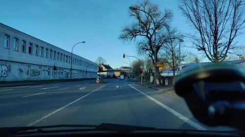
Citybäcker Feldkamp
Cafe · Coffee Shop · 1.3 km
36 Königshalt, Dortmund
Mo-Fr 06:00-20:00; Sa 06:00-18:00
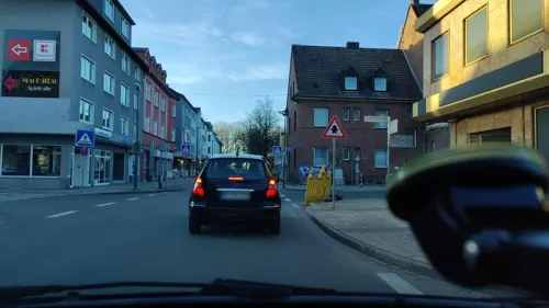

Bodelschwingher Hof
Restaurant · 2.3 km
121 Bodelschwingher Straße
We-Sa 17:00-23:00; Su, PH 11:00-22:00
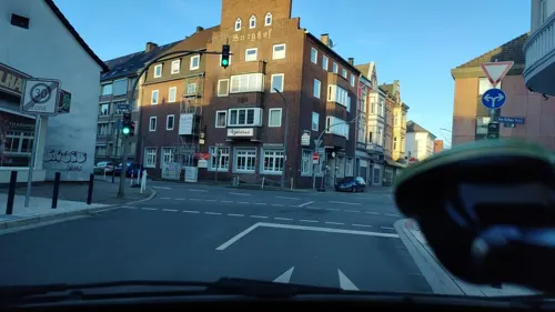
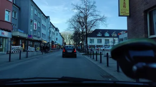
Pizzeria by Pino & Olga
Restaurant · Pizza
15a Siegburgstraße, Dortmund
Tu-Fr 12:00-21:30; Sa 12:00-20:30; Su,Mo off
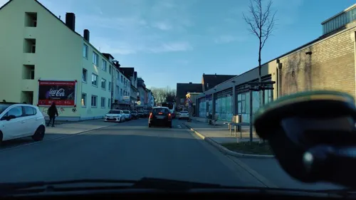
Ania's Ess-Bar im Vereinsheim KGV Nette
Restaurant · 2.1 km
100 Haberlandstraße, Dortmund
Th-Sa 17:00-22:00; Su 12:00-20:00

Hof Emscher-Auen
Cafe · Cake · 2.4 km
170 Rittershofer Straße, Castrop-Rauxel
Fr 14:15-18:00; Sa,Su 10:00-18:00
Tennis Club Mengede
Cafe · Regional · 1.0 km
96a Eckei, Dortmund
Su-Fr "During Summer"
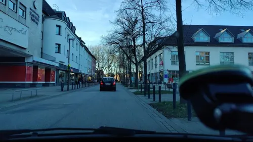


Bäckerei Löscher
Bakery
11 Siegburgstraße, Dortmund
Mo-Fr 06:30-16:00; Sa 06:30-14:00; Su,PH 07:00-14:00

37 more on the map.
Where to stay2
Churches and places of worship9
Neuapostolische Kirche
Church · New Apostolic · 2.4 km
6 Bermesdickerstraße, Dortmund
Shopping15
Gas and EV charging6
Schools, colleges and libraries14
Healthcare4
Map of Mengede
146 places. The map loads OpenStreetMap tiles when you open it.
Getting there and nearby towns
Dortmund Airport (DTM) is the nearest airport with scheduled flights listed in OpenStreetMap, 17 km away.
- Waltrop 6 km north, about 6 min by car
- Dortmund 9 km southeast, about 9 min by car
- Herne 12 km west, about 12 min by car
- Oer-Erkenschwick 11 km northwest, about 11 min by car
- Recklinghausen 14 km west, about 14 min by car
- Witten 14 km south, about 14 min by car
- Selm 15 km northeast, about 15 min by car
- Olfen 15 km north, about 15 min by car
- Bochum 15 km southwest, about 15 min by car
- Wickede 17 km east, about 17 min by car
Drive times are estimates from straight-line distance, not routes.
Local news
Headlines from INDB.
Reviews, tips and questions
Loading what members have shared...
Sources and licences
- GeoNames (CC BY 4.0): population, coordinates, regions and time zone
- Mapillary (see each image): photos
- OpenStreetMap contributors (ODbL 1.0): places, airports, map data
- Wikidata (CC0 1.0): elevation, founding date, time zone, website, landmarks and historic places
- Wikimedia Commons (see each image): photos
Photo credits
- Fachwerkhäuser in Dortmund-Mengede Kopie, Unknown author, CC BY-SA 3.0
- St. Remigius Mengede Dortmund-1720, User:Creosoph, CC BY-SA 4.0
- St. Remigius Mengede Dortmund-1718, User:Creosoph, CC BY-SA 4.0
- Ev. St. Remigius Mengede Dortmund-1730, User:Creosoph, CC BY-SA 4.0
- Ev. St. Remigius Mengede Dortmund-1724, User:Creosoph, CC BY-SA 4.0
- Ev. St. Remigius Mengede Dortmund-1725, User:Creosoph, CC BY-SA 4.0
- Ev. St. Remigius Mengede Dortmund-1729, User:Creosoph, CC BY-SA 4.0
- DO-Mengede - panoramio, Sebastian “sebrem” B…, CC BY-SA 3.0
- Haus Mengede 2022 P4080147, Worldfootage, CC BY-SA 4.0
- Do. Mengede, 12.11.11 - panoramio, Sebastian “sebrem” B…, CC BY-SA 3.0
- Do Mengede Emscher flussauf Eckei am Volksgarten 201809, Karlunun, CC BY-SA 4.0
- Hansemannstraße 30, Dortmund-Mengede, Klotzi, CC BY-SA 4.0
- Hansemannstraße 22, Dortmund-Mengede, Klotzi, CC BY-SA 4.0
- Hansemannstraße 28, Dortmund-Mengede, Klotzi, CC BY-SA 4.0
- Hansemannstraße 36, Dortmund-Mengede, Klotzi, CC BY-SA 4.0
- Hansemannstraße 32, Dortmund-Mengede, Klotzi, CC BY-SA 4.0
- Hansemannstraße 24, Dortmund-Mengede, Klotzi, CC BY-SA 4.0
- Hansemannstraße 26, Dortmund-Mengede, Klotzi, CC BY-SA 4.0
- Hansemannstraße 34, Dortmund-Mengede, Klotzi, CC BY-SA 4.0
- Hansemannstraße 20, Dortmund-Mengede, Klotzi, CC BY-SA 4.0
- Hansemannstraße 16-18, Dortmund-Mengede, Klotzi, CC BY-SA 4.0
- Hansemannstraße 56-58, Dortmund-Mengede, Klotzi, CC BY-SA 4.0
- Hansemannstraße 40, Dortmund-Mengede, Klotzi, CC BY-SA 4.0
- Hansemannstraße 52-54, Dortmund-Mengede, Klotzi, CC BY-SA 4.0
- Hansemannstraße 46, Dortmund-Mengede, Klotzi, CC BY-SA 4.0
- Hansemannstraße 48-50, Dortmund-Mengede, Klotzi, CC BY-SA 4.0
- Hansemannstraße 38, Dortmund-Mengede, Klotzi, CC BY-SA 4.0
- Hansemannstraße 44, Dortmund-Mengede, Klotzi, CC BY-SA 4.0
- Hansemannstraße 60-66, Dortmund-Mengede, Klotzi, CC BY-SA 4.0
- Bodelschingh Kirche v N, Beckstet, CC BY-SA 3.0
- Haus Mengede 003, Tbachner, CC BY-SA 4.0
- HHG Dortmund 09-2015, Oliver Gorski, CC BY-SA 4.0
- Kanadagans am Brunosee, Galerist, CC BY-SA 3.0 de
- Naturschutzgebiet Groppenbruch 002, Itti, CC BY-SA 3.0
- Dortmund Volksgarten Mengede 1, User:Stahlkocher, CC BY-SA 3.0
- Dortmund - Schloßstraße - Haus Bodelschwingh 08 ies, Frank Vincentz, CC BY-SA 3.0
- Naturschutzgebiet Groppenbruch 001, Itti, CC BY-SA 3.0
- Dortmund Im Siesack DO 013 -0001, Kramernyc, CC BY-SA 4.0
- Naturschutzgebiet Mengeder Heide 005, Itti, CC BY-SA 3.0
- Bodelschwingh Kirche v W, Beckstet, CC BY-SA 3.0
- Dortmund Remigiuskirche, A.Savin, CC BY-SA 3.0
- Street-level photo, poxonline, CC BY-SA 4.0
- Street-level photo, poxonline, CC BY-SA 4.0
- Street-level photo, klaus100000, CC BY-SA 4.0
- Street-level photo, poxonline, CC BY-SA 4.0
- Street-level photo, klaus100000, CC BY-SA 4.0
- Street-level photo, poxonline, CC BY-SA 4.0
- Street-level photo, poxonline, CC BY-SA 4.0
- Street-level photo, poxonline, CC BY-SA 4.0
- Street-level photo, poxonline, CC BY-SA 4.0
- Street-level photo, poxonline, CC BY-SA 4.0
- Street-level photo, poxonline, CC BY-SA 4.0
- Street-level photo, poxonline, CC BY-SA 4.0
- Street-level photo, poxonline, CC BY-SA 4.0
- Street-level photo, poxonline, CC BY-SA 4.0
- Street-level photo, poxonline, CC BY-SA 4.0
- Street-level photo, poxonline, CC BY-SA 4.0


Page built November 8, 2026. Spotted a mistake? Tell us or suggest a place.