


Why visit Büdingen
Townapedia lists 177 museums and landmarks, 53 parks and trails, 112 places to eat, 18 places to stay and 76 attractions in and around town.
Highlights include Hofladen auf dem Rauhen Berg, Wildpark Büdingen, Keltenwelt am Glauberg and 50er-Jahre-Museum.
Weather in Büdingen
Forecast from MET Norway (CC BY 4.0). Full forecast
About Büdingen
Büdingen (German pronunciation: [ˈbyːdɪŋən]) is a town in the Wetteraukreis, in Hesse, Germany. It is mainly known for its well-preserved, heavily fortified medieval town wall and half-timbered houses.
From the Wikipedia article Büdingen (this version), under CC BY-SA 4.0.
Things to do76

Hofladen auf dem Rauhen Berg
Farm and orchard · 7.7 km
2, Ortenberg
09:00-12:00,14:00-18:00; We,Sa,Su,PH off





64 more on the map.
Museums and landmarks177

Keltenwelt am Glauberg
Museum · 7.6 km
1 Am Glauberg, Glauburg
Mar-Oct Tu-Su 10:00-18:00; Nov-Feb Tu-Su 10:00-17:00
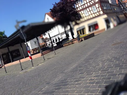

Schloss Büdingen
Monument and historic site · 0.6 km
2 Schloßplatz, Büdingen


Glauberg
Monument and historic site · 7.5 km
Celtic oppidum in Hesse, Germany


Burgruine Hardeck
Monument and historic site · 3.4 km
Die Burgruine Hardeck ist ein Burgstall südwestlich von Büdingen.

ehem. Bunker 1
Monument and historic site · 2.1 km
Bunker 1 der Befestigungslinie - "Wetterau-Main-Tauber-Stellung"

ehem. Bunker 11
Monument and historic site · 0.9 km
Bunker 11 der Befestigungslinie - "Wetterau-Main-Tauber-Stellung"
165 more on the map.
Parks, trails and playgrounds53



Bleichenbachtal zwischen Bergheim und Bleichenbach
Hiking and trails · 6.7 km
Im Rußland und in der Kuhweide bei Lindheim
Hiking and trails · 8.4 km




41 more on the map.
Restaurants and cafes112
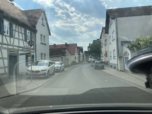
Bier- und Apfelweinhof Am Backhaus Himbach
Bar and pub · German · 8.3 km
31 Ronneburgstraße, Limeshain
Fr-Sa 17:00+; Su,PH 15:00+

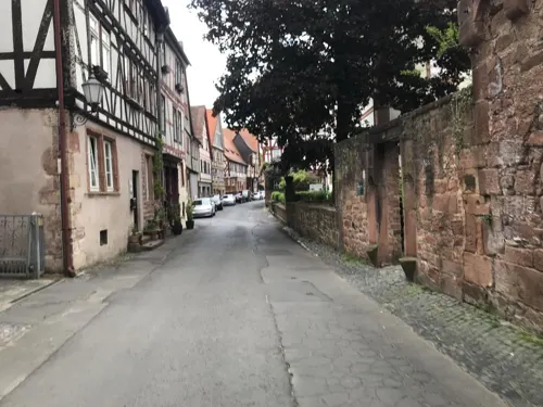

CAFÉ LOVA
Cafe · Breakfast, Cake, Coffee Shop, Crepe, Tea, Pancake, Bagel
13 Altstadt, Büdingen
Mo 10:00-18:00, Di-Mi geschlossen, Do-So 09:30-18:00, Frühstück bis 13:00
Gutsschänke Gut Hühnerhof
Restaurant · German · 6.7 km
3, Gründau
Mo-Sa 17:00-22:00; PH,Su 11:30-21:00
Landgasthof Stürz
Restaurant · German · 6.4 km
1 Leisenwälder Straße, Büdingen
Tu-Fr 16:00-22:00; Sa 14:00-22:00; Su 11:00-13:30,15:00-22:00; Mo off
Lee's Garden
Restaurant · Chinese, Ramen, Sushi
21 Mühltorstraße, Büdingen
Mo-Su,PH 11:30-15:00,17:30-23:00
Pizzeria Bella Donna
Restaurant · Italian · 7.8 km
51 Wehrtbornstraße, Büdingen
Tu-Su 11:30-14:30,17:30-22:30; Sa 17:00-23:00; Mo off
Pizzeria Vulkangrill & Event Catering
Restaurant · Barbecue, Ice Cream, Pizza · 6.1 km
8a Büdinger Straße, Büdingen
Tu-Su 11:30-14:00,17:00+
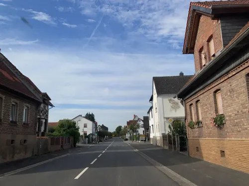


Sam's Liefer- und Abholservice
Restaurant · Pizza · 8.5 km
18 Hauptstraße
Mo, Th-Sa 17:00-21:30; Su 16:30-21:00
Zur Traube
Restaurant · German, Regional · 6.1 km
7 Glauburgstraße, Ortenberg
Tu 18:00-23:59; We-Fr 00:00-01:00,18:00-23:59; Sa...
Heckers
Restaurant · 7.0 km
1 Am Golfplatz, Gründau
Mo,We,Th 17:00-22:00; PH,Fr-Su 12:00-22:00; Tu off
100 more on the map.
History
Around 700 the wooden church of Saint Remigius was built by an unknown lord. In 847 a "Büdingen" was named in a document for the first time, but it is not clear which Büdingen was meant, because there are some other smaller towns with the same name in Germany and Lorraine. An additional floor was added to St. Remigius's church in about 1050 and the building has basically remained unchanged since then.
In 1131 the House of Büdingen were mentioned for the first time. They became Burggrafen of Gelnhausen in 1155. The villa ("city") of Büdingen was officially mentioned in 1206. The ruling House of Büdingen died out with Gerlach II before 1247.
Their successors were the houses of Hohenlohe-Brauneck, of Isenburg-Kempenich, of Trimberg, of Hohenlohe and of Isenburg. On 26 July 1330, Holy Roman Emperor Louis IV granted the status of a market town to Luther of Büdingen.
With his edict of liberty in 1353, Burggraf Heinrich II granted freedom and some independence to the people of Büdingen. In return the people had to defend the city, so the Marksmen's Society was founded. This society still exists today as one of the oldest rifle associations in Germany.
From the History section of Büdingen on Wikipedia, under CC BY-SA 4.0.
Where to stay18
Churches and places of worship30
Evangelische Kirche
Church · Protestant · 8.2 km
26 Leisenwalder Straße, Wächtersbach
Shopping29
Gas and EV charging8
Schools, colleges and libraries16
Healthcare8
Map of Büdingen
250 places. The map loads OpenStreetMap tiles when you open it.
Getting there and nearby towns
Frankfurt Airport (FRA) is the nearest airport with scheduled flights listed in OpenStreetMap, 50 km away.
- Gelnhausen 11 km southeast, about 11 min by car
- Altenstadt 12 km west, about 12 min by car
- Langenselbold 14 km south, about 14 min by car
- Wächtersbach 14 km east, about 14 min by car
- Nidda 16 km northwest, about 16 min by car
- Rodenbach 17 km south, about 17 min by car
- Erlensee 17 km southwest, about 17 min by car
- Bruchköbel 18 km southwest, about 18 min by car
- Nidderau 18 km west, about 18 min by car
- Bad Soden-Salmünster 18 km east, about 18 min by car
Drive times are estimates from straight-line distance, not routes.
Local news
Headlines from INDB.
Reviews, tips and questions
Loading what members have shared...
Sources and licences
- GeoNames (CC BY 4.0): population, coordinates, regions and time zone
- Mapillary (see each image): photos
- OpenStreetMap contributors (ODbL 1.0): places, airports, map data
- Wikidata (CC0 1.0): elevation, founding date, time zone, website, landmarks and historic places
- Wikimedia Commons (see each image): photos
- Wikipedia (CC BY-SA 4.0): overview and history text
Photo credits
- Büdingen-Altstadt (Wilder Stein), Jörg Braukmann, CC BY-SA 4.0
- Büdingen - Mahnmal Opfer 2. Weltkrieg, Sven Teschke, CC BY-SA 3.0 de
- 2016-01-30 Demonstration Büdingen -2700, Sven Teschke, CC BY-SA 3.0 de
- 2016-01-30 Demonstration Büdingen -2873, Sven Teschke, CC BY-SA 3.0 de
- 2016-01-30 Demonstration Büdingen -2697, Sven Teschke, CC BY-SA 3.0 de
- 2016-01-30 Demonstration Büdingen -2879, Sven Teschke, CC BY-SA 3.0 de
- 2016-01-30 Demonstration Büdingen -2696, Sven Teschke, CC BY-SA 3.0 de
- 2016-01-30 Demonstration Büdingen -2694, Sven Teschke, CC BY-SA 3.0 de
- 2016-01-30 Demonstration Büdingen -2888, Sven Teschke, CC BY-SA 3.0 de
- 2016-01-30 Demonstration Büdingen -2892, Sven Teschke, CC BY-SA 3.0 de
- 2016-01-30 Demonstration Büdingen -2884, Sven Teschke, CC BY-SA 3.0 de
- 2016-01-30 Demonstration Büdingen -2883, Sven Teschke, CC BY-SA 3.0 de
- 2016-01-30 Demonstration Büdingen -3037, Sven Teschke, CC BY-SA 3.0 de
- 2016-01-30 Demonstration Büdingen -3039, Sven Teschke, CC BY-SA 3.0 de
- Büdingen, Gymnasiumstraße 5, Karsten Ratzke, CC0
- Büdingen, Gymnasiumstraße 5 (1), Karsten Ratzke, CC0
- 2016-01-30 Demonstration Büdingen -3043, Sven Teschke, CC BY-SA 3.0 de
- 2016-01-30 Demonstration Büdingen -3035, Sven Teschke, CC BY-SA 3.0 de
- 2016-01-30 Demonstration Büdingen -3036, Sven Teschke, CC BY-SA 3.0 de
- 2016-01-30 Demonstration Büdingen -2912, Sven Teschke, CC BY-SA 3.0 de
- 2016-01-30 Demonstration Büdingen -2680, Sven Teschke, CC BY-SA 3.0 de
- 2016-01-30 Demonstration Büdingen -2685, Sven Teschke, CC BY-SA 3.0 de
- 2016-01-30 Demonstration Büdingen -2681, Sven Teschke, CC BY-SA 3.0 de
- 2016-01-30 Demonstration Büdingen -2686, Sven Teschke, CC BY-SA 3.0 de
- 2016-01-30 Demonstration Büdingen -2687, Sven Teschke, CC BY-SA 3.0 de
- 2016-01-30 Demonstration Büdingen -2692, Sven Teschke, CC BY-SA 3.0 de
- 2016-01-30 Demonstration Büdingen -2693, Sven Teschke, CC BY-SA 3.0 de
- 2016-01-30 Demonstration Büdingen -2691, Sven Teschke, CC BY-SA 3.0 de
- 2018-11-17 - NPD-Bundesparteitag Büdingen - 3781, Sven Teschke, CC BY-SA 3.0 de
- 2018-11-17 - NPD-Bundesparteitag Büdingen - 3802, Sven Teschke, CC BY-SA 3.0 de
- Grabhugel Glauberg, Hannibal21 (D. Herdemerten) at de.wikipedia, CC BY-SA 3.0
- Burggebaeude Ruine, Ptolusque, CC BY-SA 3.0
- Burg Ronneburg von Süden, Jörg Braukmann, CC BY-SA 4.0
- DE Bindsachsen Kirche by Steschke, Sven Teschke, GFDL 1.2
- Buedingen Untertor1, Unknown author, CC BY-SA 3.0
- Museum-Keltenwelt-am-Glauberg 0622, Sven Teschke , Büdingen, CC BY-SA 3.0 de
- Marienkirche Büdingen (3), Chris06, CC BY-SA 4.0
- Schloss Büdingen (Ansicht von Westen), Jörg Braukmann, CC BY-SA 4.0
- 2013-05-01 - Schloss Gettenbach - 4470, Sven Teschke , Büdingen, CC BY-SA 3.0 de
- Büdingen Steinernes Haus No, Sven Teschke, CC BY-SA 2.0 de
- Wilder Stein, Jörg Braukmann, CC BY-SA 4.0
- Nidderauen von Stockheim02, KUGerhardt, CC BY-SA 4.0
- Ortenberg Wippenbach Nature Reserve 82479 20250817 b, UuMUfQ, CC BY-SA 4.0
- Tagkaute Lieblos-4, AngelikaBeck, CC BY-SA 4.0
- Am Bubenrain bei Waldensberg, Weiher. 7, Ersin Caylak, CC BY-SA 4.0
- Rain is creating waterpits where plants find their birthplace in the old kaolin carving ground, Iseta Isaria, CC BY-SA 4.0
- Ortenberg (Hessen) Marienkirche 0428, Sven Teschke, CC BY-SA 3.0 de
- DE Düdelsheim Kirche by Steschke, Sven Teschke, GFDL 1.2
- Ortenberg, Gelnhaar, Michaeliskirche 20170216 003, Tilman2007, CC BY-SA 4.0
- Ortenberg Selters Kirche 0612, Sven Teschke, CC BY-SA 3.0 de
- Evangelische Pfarrkirche, Rohrbach (Büdingen), Thomaszwilling, CC BY-SA 4.0
- Schloss Gettenbach01, Haselburg-müller, CC BY-SA 3.0
- Waldkapelle im Büdinger Wald, Surveyor54, CC BY-SA 4.0
- BR-Hardeck Burgmauer-Hausruine-2, Commander-pirx, CC BY-SA 3.0
- Bunker 1 Büdingen, Freak-Line-Community, CC BY-SA 4.0
- Bunker 11 Büdingen, Freak-Line-Community, CC BY-SA 4.0
- Westbruch von Breitenborn, Breitenborner See 2, Ersin Caylak, CC BY-SA 4.0
- Niedergründau Bergkirche 20101209, Rudolf Stricker, Attribution
- Laurentiuskapelle Haingruendau 2015, Lumpeseggl, CC BY-SA 4.0
- Aussichtsturm Düdelsheim-01, Muck, CC BY-SA 4.0
- Street-level photo, troher15, CC BY-SA 4.0
- Street-level photo, flidolin, CC BY-SA 4.0
- Street-level photo, robffm, CC BY-SA 4.0
- Street-level photo, tasmaniadevil, CC BY-SA 4.0
- Street-level photo, tasmaniadevil, CC BY-SA 4.0
- Street-level photo, tasmaniadevil, CC BY-SA 4.0
- Street-level photo, robffm, CC BY-SA 4.0
- Street-level photo, flidolin, CC BY-SA 4.0
- Street-level photo, troher15, CC BY-SA 4.0
- Street-level photo, tasmaniadevil, CC BY-SA 4.0
- Street-level photo, ramap, CC BY-SA 4.0
- Street-level photo, flidolin, CC BY-SA 4.0
- Street-level photo, troher15, CC BY-SA 4.0
- Street-level photo, troher15, CC BY-SA 4.0
- Street-level photo, troher15, CC BY-SA 4.0
- Street-level photo, tiras, CC BY-SA 4.0
- Street-level photo, tasmaniadevil, CC BY-SA 4.0
- Street-level photo, tasmaniadevil, CC BY-SA 4.0
- Street-level photo, tasmaniadevil, CC BY-SA 4.0


Page built November 8, 2026. Spotted a mistake? Tell us or suggest a place.