


Why visit Altenstadt
Townapedia lists 31 museums and landmarks, 24 parks and trails, 57 places to eat, 12 places to stay and 11 attractions in and around town.
Highlights include Myco Vital, Dorfladen Hainchen, Keltenwelt am Glauberg and Schloss Günderrode.
Weather in Altenstadt
Forecast from MET Norway (CC BY 4.0). Full forecast
About Altenstadt
Altenstadt (German pronunciation: [ˈaltn̩ʃtat]) is a municipality in the district Wetteraukreis, in Hesse, Germany. It is situated in the Nidder valley, approx. 27 kilometers north-east of Frankfurt am Main.
From the Wikipedia article Altenstadt, Hesse (this version), under CC BY-SA 4.0.
Things to do11

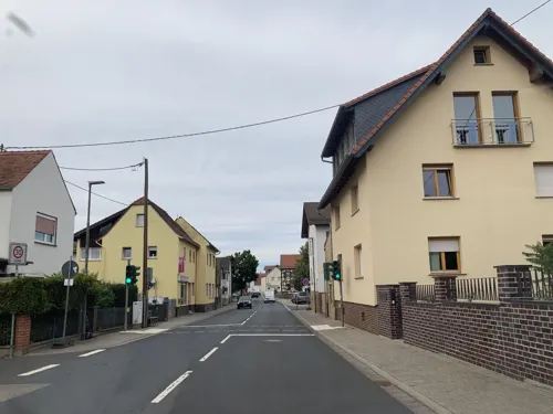

Museums and landmarks31

Keltenwelt am Glauberg
Museum · 5.0 km
1 Am Glauberg, Glauburg
Mar-Oct Tu-Su 10:00-18:00; Nov-Feb Tu-Su 10:00-17:00

Schloss Günderrode
Monument and historic site · 2.3 km
34 Mittelstraße, Altenstadt

Glauberg
Monument and historic site · 5.0 km
Celtic oppidum in Hesse, Germany


Benediktinerinnenabtei Kloster Engelthal
Monument and historic site · Catholic · 2.2 km


Limesturm
Monument and historic site · 4.2 km
Nachbau eines römischen Limesturmes
19 more on the map.
Parks, trails and playgrounds24



Im Rußland und in der Kuhweide bei Lindheim
Hiking and trails · 3.6 km

12 more on the map.
Restaurants and cafes57

DAS! Schlemmer Restaurant
Restaurant · German · 2.8 km
49 Herrnstraße, Altenstadt
Tu-Th 11:30-14:00,17:30-22:00; Fr,Sa 17:30-22:00; Su,PH...
Landhaus Knusperhäuschen
Restaurant · Regional, German · 1.8 km
45 Lange Straße, Altenstadt
We 17:00-21:00; Th 12:00-14:00,17:00-21:00; Fr...
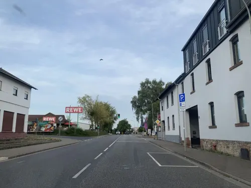
Pizzeria Don Camillo & Peppone
Restaurant · Pizza
49 Vogelsbergstraße, Altenstadt
Mo,We-Su 11:30-14:30,17:30-22:45; Sa 17:30-22:45; Tu off
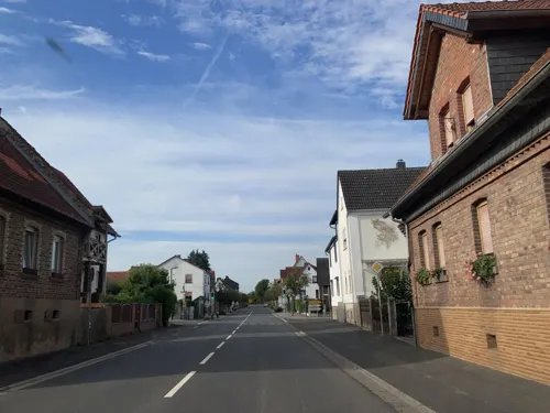
Sam's Liefer- und Abholservice
Restaurant · Pizza · 4.9 km
18 Hauptstraße
Mo, Th-Sa 17:00-21:30; Su 16:30-21:00
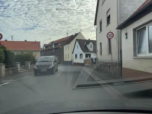
Stammheimer Hof
Restaurant · Pizza, Italian, German, Indian · 3.2 km
14 Hanauer Straße, Florstadt
Tu-Fr 11:00-14:00,17:00-22:00; PH,Sa,Su 14:00-22:00
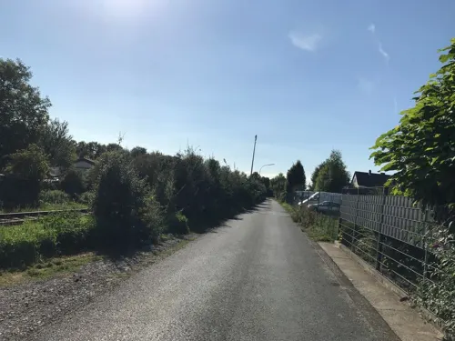
Kaza
Restaurant · Spanish · 2.3 km
63 Altenstädter Straße, Altenstadt
Tu 15:00-22:00; We-Sa 11:00-22:00
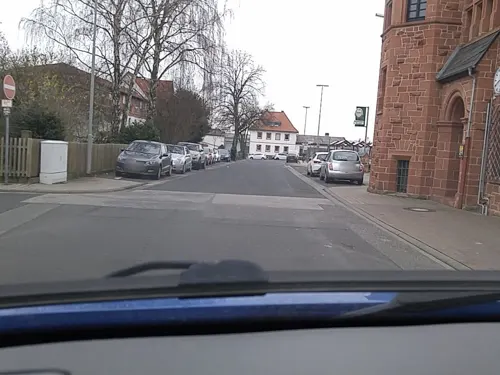
La Terrazza
Restaurant · Italian
25a Hanauer Straße, Altenstadt
Tu-Su 11:00-14:30,17:00-22:00
Pizza 4 You
Restaurant · German, Indian, Italian · 4.0 km
2 Wingertshecke, Limeshain
Mo-Su 16:00-22:00; Th off
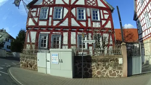
Tokymon
Restaurant · Asian, Sushi
2 Vogelsbergstraße, Altenstadt
Tu-Su 11:30-15:00, 17:00-22:00


Bistro im Museumsbau
Cafe · Cake, Snack · 5.0 km
Tu-Su 10:00-18:00
Da Toni
Restaurant · 2.5 km
10 Siemensstraße, Altenstadt
Mo, Tu, Th, Fr, Su 11:30-14:00; Mo, Tu, Th-Su 17:00-21:30
45 more on the map.
History
Altenstadt was crossed by the limes, the former border fortification of the Roman Empire. According to excavations, Altenstadt was a Roman garrison in the first half of the second century (about 250 AD).
The first documented mention of the municipality Altenstadt took place in 767 AD, which makes Altenstadt the oldest municipality of Upper Hesse.
From the History section of Altenstadt, Hesse on Wikipedia, under CC BY-SA 4.0.
Where to stay12
Churches and places of worship14
Freie Evangelische Gemeinde
Church · Protestant · 2.3 km
6 Am Herrnzaun, Altenstadt
Evangelische Kirche Rodenbach
Church · Protestant · 1.7 km
3 Ortenberger Straße, Altenstadt
Evangelische Kirche Stammheim
Church · Protestant · 3.2 km
13 Hanauer Straße, Florstadt
Shopping13
Gas and EV charging4
Schools, colleges and libraries7
Healthcare4
Map of Altenstadt
177 places. The map loads OpenStreetMap tiles when you open it.
Getting there and nearby towns
Frankfurt Airport (FRA) is the nearest airport with scheduled flights listed in OpenStreetMap, 41 km away.
- Erlensee 14 km south, about 14 min by car
- Langenselbold 14 km southeast, about 14 min by car
- Rodenbach 17 km southeast, about 17 min by car
- Rosbach vor der Höhe 18 km west, about 18 min by car
- Offenbach 24 km southwest, about 24 min by car
- Alzenau in Unterfranken 24 km south, about 24 min by car
- Wächtersbach 25 km east, about 25 min by car
- Frankfurt am Main 27 km southwest, about 27 min by car
- Lich 27 km north, about 27 min by car
- Schotten 27 km northeast, about 27 min by car
Drive times are estimates from straight-line distance, not routes.
Local news
Headlines from INDB.
Reviews, tips and questions
Loading what members have shared...
Sources and licences
- GeoNames (CC BY 4.0): population, coordinates, regions and time zone
- Mapillary (see each image): photos
- OpenStreetMap contributors (ODbL 1.0): places, airports, map data
- Wikidata (CC0 1.0): elevation, founding date, time zone, website, landmarks and historic places
- Wikimedia Commons (see each image): photos
- Wikipedia (CC BY-SA 4.0): overview and history text
Photo credits
- Altenstadt-Hessen Rathaus 9809, Sven Teschke , Büdingen, CC BY-SA 3.0 de
- Altenstadt-Hessen Kirche WP 9798, Sven Teschke , Büdingen, CC BY-SA 3.0 de
- Altenstadt-Hessen Zum Schwarzen Adler WP 9806, Sven Teschke, CC BY-SA 3.0 de
- ORL20 Altenstadt moderne Strasse, Haselburg-müller, CC BY-SA 3.0
- Altenstadt-Hessen Bahnhof 9783, Sven Teschke, CC BY-SA 3.0 de
- Rodenbach (Altenstadt), Ev. Kirche (02), Subbass1, CC BY-SA 4.0
- Rodenbach (Altenstadt), Ev. Kirche (05), Subbass1, CC BY-SA 4.0
- Rodenbach (Altenstadt), Ev. Kirche (06), Subbass1, CC BY-SA 4.0
- Rodenbach (Altenstadt), Ev. Kirche (14), Subbass1, CC BY-SA 4.0
- Rodenbach (Altenstadt), Ev. Kirche (04), Subbass1, CC BY-SA 4.0
- Rodenbach (Altenstadt), Ev. Kirche (22), Subbass1, CC BY-SA 4.0
- Rodenbach (Altenstadt), Ev. Kirche (08), Subbass1, CC BY-SA 4.0
- Rodenbach (Altenstadt), Ev. Kirche (17), Subbass1, CC BY-SA 4.0
- Rodenbach (Altenstadt), Ev. Kirche (23), Subbass1, CC BY-SA 4.0
- Rodenbach (Altenstadt), Ev. Kirche (19), Subbass1, CC BY-SA 4.0
- Rodenbach (Altenstadt), Ev. Kirche (15), Subbass1, CC BY-SA 4.0
- Rodenbach (Altenstadt), Ev. Kirche (11), Subbass1, CC BY-SA 4.0
- Rodenbach (Altenstadt), Ev. Kirche (18), Subbass1, CC BY-SA 4.0
- Rodenbach (Altenstadt), Ev. Kirche (12), Subbass1, CC BY-SA 4.0
- Rodenbach (Altenstadt), Ev. Kirche (09), Subbass1, CC BY-SA 4.0
- Rodenbach (Altenstadt), Ev. Kirche (10), Subbass1, CC BY-SA 4.0
- Rodenbach (Altenstadt), Ev. Kirche (07), Subbass1, CC BY-SA 4.0
- Rodenbach (Altenstadt), Ev. Kirche (03), Subbass1, CC BY-SA 4.0
- Rodenbach (Altenstadt), Ev. Kirche (20), Subbass1, CC BY-SA 4.0
- Rodenbach (Altenstadt), Ev. Kirche (16), Subbass1, CC BY-SA 4.0
- Rodenbach (Altenstadt), Ev. Kirche (21), Subbass1, CC BY-SA 4.0
- Rodenbach (Altenstadt), Ev. Kirche (13), Subbass1, CC BY-SA 4.0
- Rodenbach (Altenstadt), Ev. Kirche (12) (cropped), Subbass1, CC BY-SA 4.0
- Grabhugel Glauberg, Hannibal21 (D. Herdemerten) at de.wikipedia, CC BY-SA 3.0
- Museum-Keltenwelt-am-Glauberg 0622, Sven Teschke , Büdingen, CC BY-SA 3.0 de
- Schlossansicht mit historischem Bibliotheksanbau, Ebbecke, CC BY-SA 4.0
- Naturschutzgebiet in der Wetterau, Karol Broetz, CC BY-SA 4.0
- Stammheim, Evangelische Kirche, Karsten Ratzke, CC0
- Rodenbach (Altenstadt), Ev. Kirche (32), Anita Schäfer, CC BY-SA 4.0
- Kleinkastell Buchkopf, Haselburg-müller, CC BY-SA 3.0
- Wetteraulimes Wp 4 103 Einweihung, Lumpeseggl, CC BY-SA 3.0
- Nidderau-Eichen evangelische Kirche 20130606, Rudolf Stricker, CC BY-SA 2.0 de
- Kloster Engelthal Gästehaus und Klosterkirche, C. M., CC BY-SA 4.0
- Schloss Guenderrode01, Haselburg-müller, CC BY-SA 3.0
- Glauburg Keltenwelt am Glauberg (Museumsgebäude), Dr. Thomas Liptak, CC BY-SA 4.0
- Street-level photo, tasmaniadevil, CC BY-SA 4.0
- Street-level photo, troher15, CC BY-SA 4.0
- Street-level photo, troher15, CC BY-SA 4.0
- Street-level photo, robffm, CC BY-SA 4.0
- Street-level photo, tasmaniadevil, CC BY-SA 4.0
- Street-level photo, robffm, CC BY-SA 4.0
- Street-level photo, tasmaniadevil, CC BY-SA 4.0
- Street-level photo, tasmaniadevil, CC BY-SA 4.0
- Street-level photo, troher15, CC BY-SA 4.0
- Street-level photo, flidolin, CC BY-SA 4.0
- Street-level photo, ramap, CC BY-SA 4.0
- Street-level photo, scg1176, CC BY-SA 4.0
- Street-level photo, troher15, CC BY-SA 4.0
- Street-level photo, ramap, CC BY-SA 4.0
- Street-level photo, kreuzschnabel, CC BY-SA 4.0
- Street-level photo, ramap, CC BY-SA 4.0
- Street-level photo, tasmaniadevil, CC BY-SA 4.0
- Street-level photo, troher15, CC BY-SA 4.0
- Street-level photo, tasmaniadevil, CC BY-SA 4.0
- Street-level photo, tasmaniadevil, CC BY-SA 4.0
- Street-level photo, tasmaniadevil, CC BY-SA 4.0
- Street-level photo, tasmaniadevil, CC BY-SA 4.0
- Street-level photo, tmka, CC BY-SA 4.0
- Street-level photo, ramap, CC BY-SA 4.0
- Street-level photo, ramap, CC BY-SA 4.0


Page built November 8, 2026. Spotted a mistake? Tell us or suggest a place.