


Why visit Crimmitschau
Townapedia lists 46 museums and landmarks, 30 parks and trails, 110 places to eat, 22 places to stay and 16 attractions in and around town.
Highlights include Autokino Langenhessen, BioNaturHof Frankenhausen, Höhlermuseum Meerane and Kursächsische Postmeilensäule.
Weather in Crimmitschau
Forecast from MET Norway (CC BY 4.0). Full forecast
About Crimmitschau
Crimmitschau (German pronunciation: [ˈkʁɪmɪtʃaʊ] ) is a town in the district of Zwickau in Saxony, Germany.
From the Wikipedia article Crimmitschau (this version), under CC BY-SA 4.0.
Things to do16


BioNaturHof Frankenhausen
Farm and orchard · 2.5 km
215 Leipziger Straße, Crimmitschau
Tu, Th-Fr 10:00-18:00

Spargelhof Sießmeier
Farm and orchard · 5.4 km
4 Nitzschkaer Straße, Ponitz
Mo-Sa 08:00-18:00; Su 08:00-12:00



4 more on the map.
Museums and landmarks46

Höhlermuseum Meerane
Museum · 6.4 km
11a Untere Mühlgasse, Meerane
Th 15:00-18:00; PH open "Öffnungszeiten können abweichen"

Kursächsische Postmeilensäule
Monument and historic site
Kursächsische Postmeilensäule, Kopie einer Distanzsäule

Renaissanceschloß Ponitz
Monument and historic site · 5.0 km
1 Schlosshof, Ponitz

Villa Vier Jahreszeiten
Monument and historic site · 0.6 km
12 Gabelsbergerstraße, Crimmitschau

Blankenhain Castle
Museum · 7.7 km
Castle in Crimmitschau, Saxony, Germany


Anne-Marie Roessler
Monument and historic site
Stolperstein für Anne-Marie Roessler, geb. Hertmann


Karl-Georg Roessler
Monument and historic site
Stolperstein für Karl-Georg Roessler

Laura Hertmann
Monument and historic site
Stolperstein für Laura Hertmann, geb. Bergson
Tuchfabrik Gebr. Pfau
Museum · 1.4 km
125 Leipziger Straße, Crimmitschau
Th-Su,PH 10:00-17:00; Dec 24,25,31 off; Jan 01 off

Bahnstrecke Crimmitschau–Schweinsburg
Monument and historic site · 1.7 km
34 more on the map.
Parks, trails and playgrounds30



18 more on the map.
Restaurants and cafes110
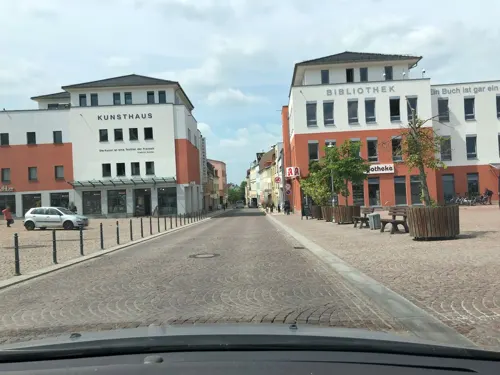

China-Restaurant Mandarin
Restaurant · Chinese, Noodle, Fish, Reis, Chicken, Rind, Schwein, Ente · 4.7 km
1 An der Hohen Straße, Meerane
Tu-Su,PH 11:00-14:30,17:00-22:30; Mo off
Kretzschmar´s Restaurant
Restaurant · German · 6.0 km
19 Dorfstraße, Langenbernsdorf
We,Su,PH 11:00-14:00; Tu 11:00-14:00,17:30-22:00; Fr,Sa...
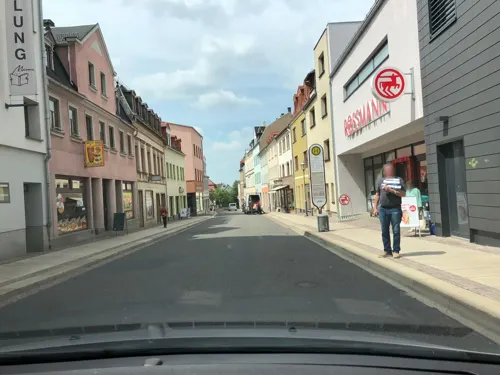
Lichtenstein´s Restaurant
Restaurant · International · 6.5 km
26 Marienstraße, Meerane
Th-Sa 18:00+; Su 11:30-14:00
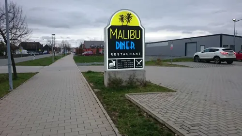
Malibu Diner
Diner · American · 6.7 km
145 Crimmitschauer Straße, Werdau
Mo-Fr 17:00-23:00; Sa 11:00-24:00; Su 11:00-22:00
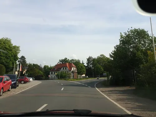
Restaurant "Schwanefeld"
Restaurant · Regional · 5.7 km
22 Schwanefelder Straße, Meerane
Mo-Su 09:00-23:00
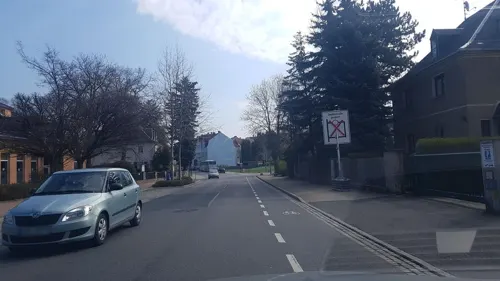
Restaurant Rhodos
Restaurant · Greek · 5.4 km
67 Äußere Crimmitschauer Straße, Meerane
Mo-Th,Su,PH 11:30-14:30,17:30-22:30; Fr,Sa 11:30-14:30,17:30-00:00
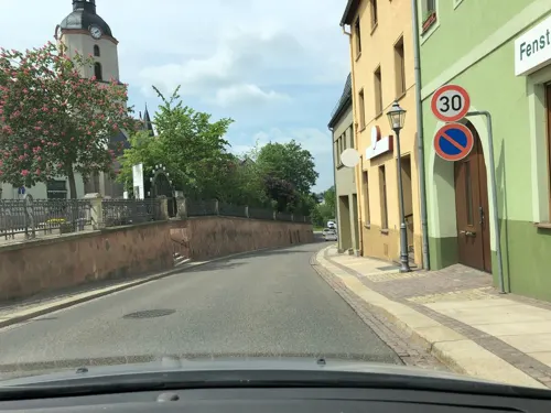
Russische Stube im Burgkeller
Restaurant · Russian · 6.5 km
25 August-Bebel-Straße, Meerane
Mo-Sa 17:00+; Su,PH 11:30-14:00; Tu off
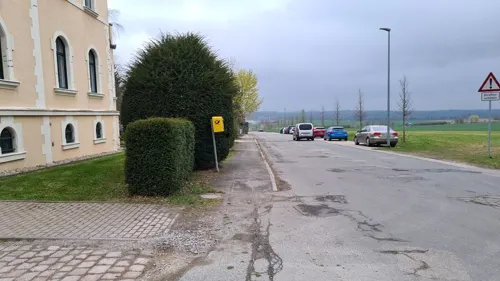
Villa "Il Mio"
Restaurant · Italian · 5.7 km
72 Meeraner Straße, Ponitz
Mo-Th 17:00-23:00;Fr 17:00-24:00;Sa 15:00-24:00;Su 15:00-23:00


Asia Bistro Hoang Vuong
Restaurant · Asian · 6.2 km
Mo-Su 17:00-21:00, Tu-Sa 11:00-15:00, PH 17:00-21:00

98 more on the map.
History
In the course of German eastward expansion, the city of Crimmitschau and a castle of the same name (now called the Schweinsburg) were established from around 1170 to 1200 as an organized German colony. The settlement's existence is first documented in 1212. In 1414 Crimmitschau received town privileges from Markgraf Wilhelm II.
On 15 March 1844, Crimmitschau was connected to the German rail network (on the Leipzig–Hof railway, which was later extended to Bavaria). Its current station was opened in 1873
Around the turn of the century, Crimmitschau was the site of a large concentrated textile industry, and was called "The City of 100 chimneys" (Stadt der 100 Schornsteine).
From August 22, 1903, to January 18, 1904, it was the site of one of the largest and longest strikes in the German Empire, which affected the entire nation.
In 1944, some Crimmitschau property was bombed by Allied Forces.
At the end of the 1980s, a great part of the old and inner cities were torn down and replaced with prefabricated concrete buildings. Similar plans existed for the southern suburb, but were not put in place after the regime change in 1990.
From the History section of Crimmitschau on Wikipedia, under CC BY-SA 4.0.
Where to stay22
Churches and places of worship23
Dorfkirche Thonhausen
Church · Protestant · 5.3 km
Dorfstraße, Thonhausen
Lutherkirche
Church · Lutheran · 1.0 km
1a Johann-Sebastian-Bach-Straße, Crimmitschau
Shopping28
Gas and EV charging14
Schools, colleges and libraries14
Healthcare6
Map of Crimmitschau
250 places. The map loads OpenStreetMap tiles when you open it.
Getting there and nearby towns
Leipzig-Altenburg Airport (AOC) is the nearest airport with scheduled flights listed in OpenStreetMap, 20 km away.
- Meerane 6 km northeast, about 6 min by car
- Werdau 9 km south, about 9 min by car
- Glauchau 11 km east, about 11 min by car
- Zwickau 12 km southeast, about 12 min by car
- Mülsen 14 km southeast, about 14 min by car
- Wilkau-Haßlau 18 km southeast, about 18 min by car
- Lichtenstein 18 km east, about 18 min by car
- Gera 23 km west, about 23 min by car
- Reichenbach/Vogtland 22 km south, about 22 min by car
- Hohenstein-Ernstthal 23 km east, about 23 min by car
Drive times are estimates from straight-line distance, not routes.
Local news
Headlines from INDB.
Reviews, tips and questions
Loading what members have shared...
Sources and licences
- GeoNames (CC BY 4.0): population, coordinates, regions and time zone
- Mapillary (see each image): photos
- OpenStreetMap contributors (ODbL 1.0): places, airports, map data
- Wikidata (CC0 1.0): elevation, founding date, time zone, website, landmarks and historic places
- Wikimedia Commons (see each image): photos
- Wikipedia (CC BY-SA 4.0): overview and history text
Photo credits
- Rathaus Crimmitschau mit Brunnen, Je-str, CC BY-SA 4.0
- Crimmitschau, Pleiße, Wassertorbrücke, Catatine, CC0
- Kaufhaus Schocken Crimmitschau, Je-str, CC BY-SA 4.0
- Kaufhaus Schocken, Crimmitschau, Catatine, CC0
- Crimmitschau, Ehemaliges Postamt, Catatine, CC0
- Crimmitschau, die Badergasse, Dguendel, CC BY 4.0
- CrimmitschauBf, Jwaller, CC BY-SA 3.0
- CrimmitschauLaurentius2, Jwaller, CC BY-SA 3.0
- CrimmitschauBahnhofsvorplatz, Jwaller, CC BY-SA 3.0
- CrimmitschauLaurentius1, Jwaller, CC BY-SA 3.0
- CrimmitschauLaurentius3, Jwaller, CC BY-SA 3.0
- Castle Blankenhain - main castle (aka), André Karwath aka Aka, CC BY-SA 2.5
- Neukirchen - Schweinsburg 1 (aka), André Karwath aka Aka, CC BY-SA 2.5
- Ponitz Friedenskirche, Wikswat, CC BY 3.0
- Neukirchen (Pleiße), die St.-Martins-Kirche, Dguendel, CC BY 4.0
- 0x-kgl-saechs-neuk-pl-1, Oxensepp, CC BY-SA 3.0
- Villa Vier Jahreszeiten Crimmitschau, Peterweliki, CC BY-SA 4.0
- Lutherkirche Crimmitschau, Lucas Friese, CC BY-SA 3.0
- Autokino Langenhessen - östliche Leinwand, Cookroach, CC BY-SA 4.0
- Stadtkirche Crimmitschau, Michael Sander, CC BY-SA 3.0
- GrünbergKirche1, Jwaller, CC BY-SA 4.0
- Church Heyersdorf 1, Aschroet, CC0
- Schloss Ponitz (3), Aagnverglaser, CC BY-SA 4.0
- Kirche und Pfarrhaus Hainstraße 1; 1a, Conny, CC BY-SA 3.0
- Eisenbahnviadukt Langenhessen, J. Strauß, CC BY 3.0
- Postmeilensäule Crimmitzschau4, Lutz Lange ( talk ), CC BY-SA 4.0
- Ponitz Schloss Burgmauer, Lucas Friese, Public domain
- Neukirchen Stationsstein, Radler59, CC BY-SA 3.0
- Stolperstein Crimmitschau Anna-Marie Roessler (Friedrich-August-Str. 16), MAY, CC BY-SA 4.0
- Stolperstein Crimmitschau Ingeborg Roessler (Friedrich-August-Str. 16), MAY, CC BY-SA 4.0
- Stolperstein Crimmitschau Karl-Georg Roessler (Friedrich-August-Str. 16), MAY, CC BY-SA 4.0
- Stolperstein Crimmitschau Laura Hertmann (Friedrich-August-Str. 16), MAY, CC BY-SA 4.0
- Kirche Langenreinsdorf, Michael Wolf, CC BY-SA 3.0
- Kirche Langenhessen, Je-str, CC BY-SA 3.0
- Kirche Thonhausen, Lucas Friese, Public domain
- 2013-12-25 Kirche St. Petri in Kleinbernsdorf, Jens Strauß, CC BY-SA 3.0
- Laurentiuskirche Crimmitschau, Lucas Friese, CC BY-SA 3.0
- Windmill, Reinhard Wolf, CC BY 3.0
- Tradition, Reinhard Wolf, CC BY 3.0
- Faszination Makro, Reinhard Wolf, CC BY 3.0
- Tiergehege Sahnpark, Crimmitschau 02, Catatine, CC0
- Street-level photo, canislupus, CC BY-SA 4.0
- Street-level photo, canislupus, CC BY-SA 4.0
- Street-level photo, dsmm, CC BY-SA 4.0
- Street-level photo, dsmm, CC BY-SA 4.0
- Street-level photo, canislupus, CC BY-SA 4.0
- Street-level photo, canislupus, CC BY-SA 4.0
- Street-level photo, bejotel, CC BY-SA 4.0
- Street-level photo, bejotel, CC BY-SA 4.0
- Street-level photo, wald, CC BY-SA 4.0
- Street-level photo, bejotel, CC BY-SA 4.0
- Street-level photo, poxonline, CC BY-SA 4.0
- Street-level photo, dsmm, CC BY-SA 4.0
- Street-level photo, dsmm, CC BY-SA 4.0
- Street-level photo, canislupus, CC BY-SA 4.0
- Street-level photo, poxonline, CC BY-SA 4.0
- Street-level photo, canislupus, CC BY-SA 4.0
- Street-level photo, wald, CC BY-SA 4.0
- Street-level photo, bejotel, CC BY-SA 4.0


Page built November 8, 2026. Spotted a mistake? Tell us or suggest a place.