


Hohenstein-Ernstthal, Germany
Hohenstein-Ernstthal is a town of 16,542 people in Saxony, Germany.
Why visit Hohenstein-Ernstthal
Townapedia lists 23 museums and landmarks, 9 parks and trails, 66 places to eat, 9 places to stay and 18 attractions in and around town.
Highlights include Capitol Filmtheater, Sima-Frucht, Karl-May-Haus Hohenstein-Ernstthal and Textil- und Rennsportmuseum TRM.
Weather in Hohenstein-Ernstthal
Forecast from MET Norway (CC BY 4.0). Full forecast
About Hohenstein-Ernstthal
Hohenstein-Ernstthal (German pronunciation: [ˈhoːənˌʃtaɪn ˈɛʁnstˌtaːl] ) is a town in the Zwickau rural district, Saxony, Germany. The towns of Hohenstein and Ernstthal were united in 1898, and the town is either known by its hyphenated form, or simply called Hohenstein.
From the Wikipedia article Hohenstein-Ernstthal (this version), under CC BY-SA 4.0.
Things to do18

Capitol Filmtheater
Cinema and theater
2b Conrad-Clauß-Straße, Hohenstein-Ernstthal
"Sind je nach Film (entsprechender Aushang) unterschiedlich."
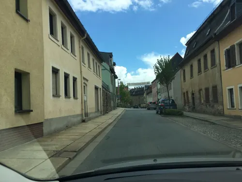
Sima-Frucht
Farm and orchard
42 Karl-May-Straße, Hohenstein-Ernstthal
Mo-Fr 09:00-18:30; Sa 09:00-12:00; Su,PH off


Aussichtspunkt
Scenic view · 4.0 km
Meinsdorfer Höhe--Blick zum NSG Limbacher Teichgebiet
6 more on the map.
Museums and landmarks23
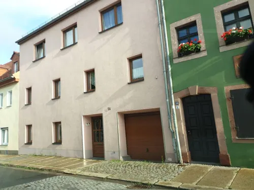
Karl-May-Haus Hohenstein-Ernstthal
Museum
54 Karl-May-Straße, Hohenstein-Ernstthal
Tu-Su 10:00-17:00



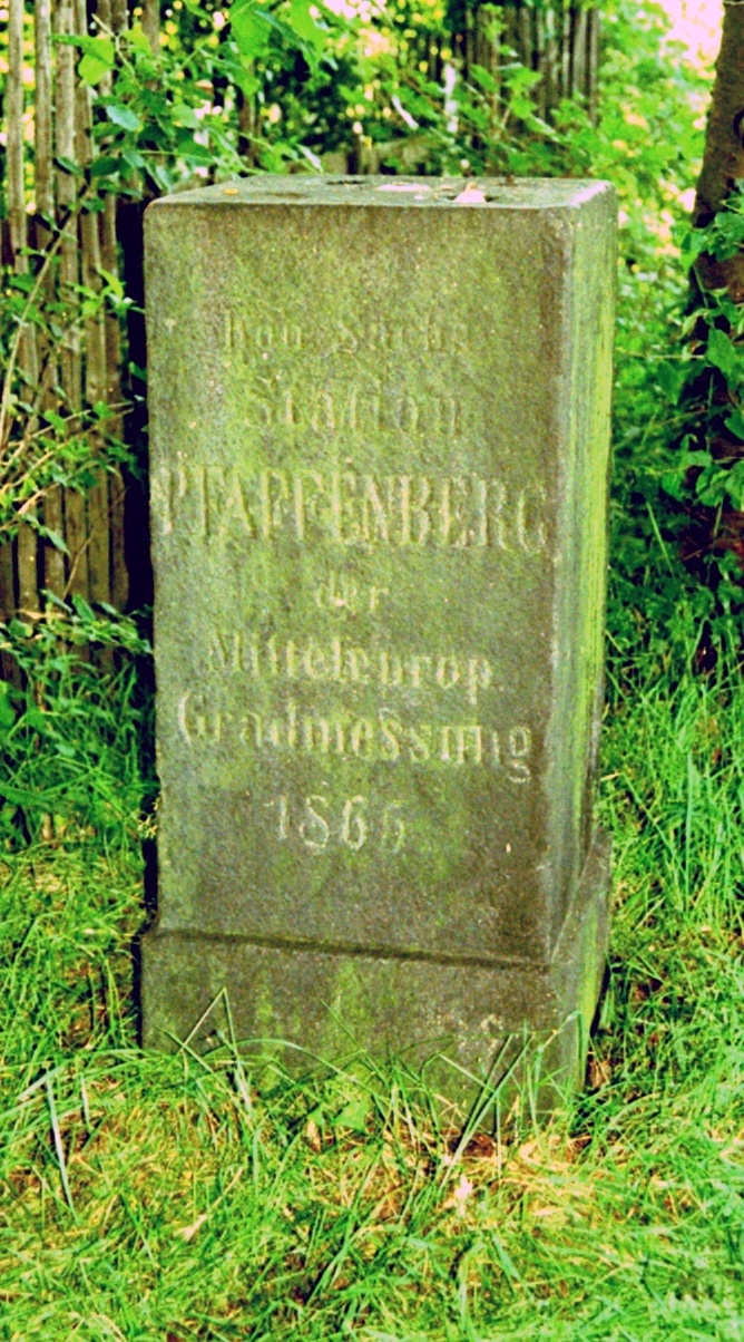

Fahrleitungsmontagewagen
Monument and historic site
Fahrleitungsmontagewagen der ehemaligen Straßenbahn Hohenstein-Ernstthal - Oelsnitz
Die drei Kirchturm Glocken
Monument and historic site · 0.6 km
3 Hinrich-Wichern-Straße, Hohenstein-Ernstthal
Straßenbahn Hohenstein-Ernstthal–Oelsnitz
Monument and historic site
Straßenbahn-Denkmal, Miniatur.
11 more on the map.
Parks, trails and playgrounds9


Mehrgenerationen Spielplatz "Zur Arche"
Playground · 3.4 km
25 Bachstraße, Bernsdorf
Tu-Fr 09:00-18:00; Sa 09:00-17:00; PH,Su,Mo off

Restaurants and cafes66

Zum Postgut
Restaurant · Regional
1 Friedrich-Engels-Straße, Hohenstein-Ernstthal
Mo-Sa 11:00-14:30, Su 11:00-22:00+, Mo-Sa 17:00-22:00+

Heidelbergschänke Wüstenbrand
Restaurant · Regional · 2.8 km
18 Am Heidelberg, Hohenstein-Ernstthal
Fr 17:00-22:00, Sa-Su 11:00-22:00
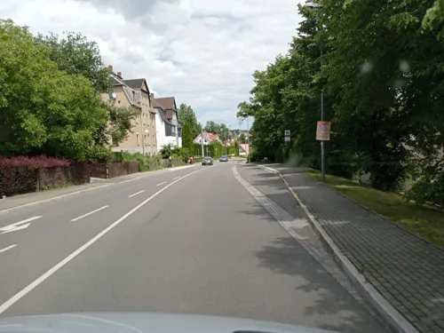
Parker's Pizza
Restaurant · Pizza · 2.7 km
1c Dr.-Charlotte-Krenzer-Straße, Hohenstein-Ernstthal
Mo-Su 10:00-22:00

Berggasthaus
Restaurant · 0.6 km
1 Pfaffenberg, Hohenstein-Ernstthal
We-Sa 12:00-22:00; Su 11:30-21:00

Bäckerei Förster
Bakery · 1.3 km
122 Dresdner Straße, Hohenstein-Ernstthal
Mo-Fr 07:00-19:00; Sa 07:00-18:00; Su,PH off
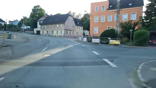
Bäckerei Polster
Bakery · 2.9 km
1 Hohensteiner Straße, Hohenstein-Ernstthal
Th-Fr 06:00-17:00; Sa 06:00-11:30; Su-We closed
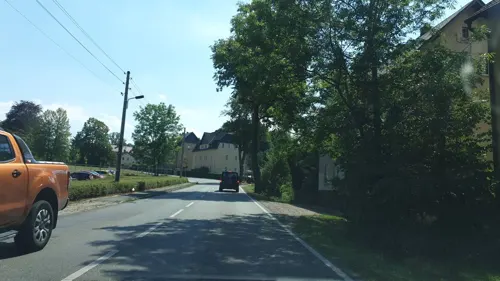
Feinbäckerei "Friedemann" (in Penny)
Bakery · 2.3 km
1 Stollberger Straße, Oberlungwitz
Tu-Fr 07:00-18:00; Mo,Sa 07:00-13:00

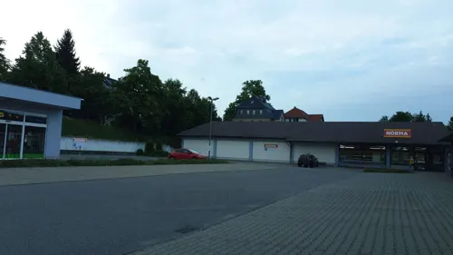
Berries - Cold & Sweet
Ice cream · 2.7 km
1c Dr.-Charlotte-Krenzer-Straße, Hohenstein-Ernstthal
Mo-Fr 13:00-18:00; Sa-Su 11:00-18:00
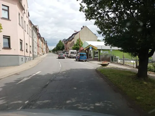


Bäckerei Wetzig
Bakery · 0.6 km
82 Karl-May-Straße, Hohenstein-Ernstthal
Tu-Fr 07:00-15:00; Sa 06:00-10:00
54 more on the map.
History
In the 15th century, the town of Hohenstein was established after silver was found and mined there. The name is said to be derived from the phrase ″uff dem hohen Stein″ (on the high rock), that the first settlers used when they saw the Pfaffenberg mountain. In 1680 some people from Hohenstein moved to the forest near the town to escape the dangers of the plague. That settlement was later named Ernstthal (Ernst valley) after August Ernst von Schönburg. Both town united in 1898, thus becoming Hohenstein-Ernstthal. During 19th and 20th century silver mining became less efficient, so the textile industry became more important. In 1999, Wüstenbrand became a part of Hohenstein-Ernstthal.
From the History section of Hohenstein-Ernstthal on Wikipedia, under CC BY-SA 4.0.
Where to stay9
Churches and places of worship9
Shopping15
Gas and EV charging9
SB Tankstelle
Gas station · 1.4 km
31 Hinrich-Wichern-Straße, Hohenstein-Ernstthal
Schools, colleges and libraries7
Healthcare7
Apotheke am Sachsenring
Clinic and pharmacy · 0.9 km
55 Friedrich-Engels-Straße, Hohenstein-Ernstthal
Map of Hohenstein-Ernstthal
172 places. The map loads OpenStreetMap tiles when you open it.
Getting there and nearby towns
Leipzig-Altenburg Airport (AOC) is the nearest airport with scheduled flights listed in OpenStreetMap, 25 km away.
- Limbach-Oberfrohna 7 km northeast, about 7 min by car
- Lichtenstein 8 km southwest, about 8 min by car
- Stollberg 11 km southeast, about 11 min by car
- Mülsen 12 km southwest, about 12 min by car
- Burgstädt 14 km northeast, about 14 min by car
- Penig 15 km north, about 15 min by car
- Chemnitz 16 km east, about 16 min by car
- Zwickau 18 km southwest, about 18 min by car
- Meerane 18 km west, about 18 min by car
- Wilkau-Haßlau 20 km southwest, about 20 min by car
Drive times are estimates from straight-line distance, not routes.
Local news
Headlines from INDB.
Reviews, tips and questions
Loading what members have shared...
Sources and licences
- GeoNames (CC BY 4.0): population, coordinates, regions and time zone
- Mapillary (see each image): photos
- OpenStreetMap contributors (ODbL 1.0): places, airports, map data
- Wikidata (CC0 1.0): elevation, founding date, time zone, website
- Wikimedia Commons (see each image): photos
- Wikipedia (CC BY-SA 4.0): overview and history text
Photo credits
- Flug Dortmund–Timișoara 07 Hohenstein-Ernstthal. Oberlungwitz, Dan Mihai Pitea, CC BY-SA 4.0
- Hohenstein-Ernstthal, Haus Lungwitzer Straße 23, Dguendel, CC BY 4.0
- Hohenstein-Ernstthal, die Häuser Pfarrhain 24, 26 und 28, Dguendel, CC BY 4.0
- Hohenstein-Ernstthal, die Herrmannstraße, Dguendel, CC BY 4.0
- Hohenstein-Ernstthal, die Häuser Zillplatz 2, 3 und 4, Dguendel, CC BY 4.0
- Hohenstein-Ernstthal, Haus Zillplatz 6, Dguendel, CC BY 4.0
- Hohenstein-Ernstthal, die Schulstraße, Dguendel, CC BY 4.0
- Hohenstein-Ernstthal, Haus Dr.-Wilhelm-Külz-Platz 2, Fassade, Dguendel, CC BY 4.0
- LGHE main building 2003, TheFlyingDutchman, CC BY 3.0
- HOT Rote Mühle 1 16922, Michael Wolf ( Webseite ), CC BY-SA 3.0
- HOT Altmarkt 17 16370, Michael Wolf ( Webseite ), CC BY-SA 3.0
- Hohenstein, Altmarkt 18 (Mohren-Apotheke), Aagnverglaser, CC BY-SA 4.0
- Hotel Altmarkt 19 16365, Michael Wolf ( Webseite ), CC BY-SA 3.0
- Hohenstein, Gaststätte „Zum Postgut“ Friedrich-Engels-Straße 1 (2), Aagnverglaser, CC BY-SA 4.0
- Südfassade St. Christophori Hohenstein-Ernstthal, Aarp65, CC BY-SA 4.0
- St Trinitatis Hohenstein-Ernstthal, TheFlyingDutchman, CC BY 3.0
- Berggasthaus Hohenstein-Ernstthal, TheFlyingDutchman, CC BY 3.0
- HOT Weinkellerstraße 38 16950, Michael Wolf ( Webseite ), CC BY-SA 3.0
- Wüstenbrand, Kirche (01), Subbass1, CC BY-SA 4.0
- Kirche St. Martin (Oberlungwitz) (2), Aagnverglaser, CC BY-SA 3.0 de
- Filmtheater Capitol Conrad-Clauß-Straße 2 Hohenstein-Ernstthal, Aarp65, CC BY-SA 4.0
- St Pius X Church Hohenstein-Ernstthal, TheFlyingDutchman, CC BY 3.0
- 0x-kgl-saechs-oberlung-1, Oxensepp, CC BY-SA 4.0
- Station Pfaffenberg, Reno Grummt, CC BY 3.0
- Katholische Kirche St. Pius X. (Hohenstein-Ernstthal) (1), Aagnverglaser, CC BY-SA 4.0
- Villa Lungwitzer Straße 30 20517, Michael Wolf ( Webseite ), CC BY-SA 3.0
- HOT Transformatorenhäuschen 20509, Michael Wolf ( Webseite ), CC BY-SA 3.0
- HOT Lungwitzer Straße 23 20507, Michael Wolf ( Webseite ), CC BY-SA 3.0
- Villa Lungwitzer Straße 30 20505, Michael Wolf ( Webseite ), CC BY-SA 3.0
- HOT Transformatorenhäuschen 20511, Michael Wolf ( Webseite ), CC BY-SA 3.0
- HOT Pfarrhain 26 16984, Michael Wolf ( Webseite ), CC BY-SA 3.0
- HOT Lungwitzer Straße 23 20516, Michael Wolf ( Webseite ), CC BY-SA 3.0
- HOT Lungwitzer Straße 23 20513, Michael Wolf ( Webseite ), CC BY-SA 3.0
- HOT Pfarrhain 26 16983, Michael Wolf ( Webseite ), CC BY-SA 3.0
- HOT Lungwitzer Straße 23 20514, Michael Wolf ( Webseite ), CC BY-SA 3.0
- Villa Lungwitzer Straße 41 20502, Michael Wolf ( Webseite ), CC BY-SA 3.0
- Webermeisterhaus Lungwitzer Straße 39 20503, Michael Wolf ( Webseite ), CC BY-SA 3.0
- HOT Breite Straße 17 16987, Michael Wolf ( Webseite ), CC BY-SA 3.0
- Postamt Schubertstraße 25 20522, Michael Wolf ( Webseite ), CC BY-SA 3.0
- Postamt Schubertstraße 25 20519, Michael Wolf ( Webseite ), CC BY-SA 3.0
- Station 16 Pfaffenberg, Radler59, CC BY-SA 3.0
- Street-level photo, atze02, CC BY-SA 4.0
- Street-level photo, bejotel, CC BY-SA 4.0
- Street-level photo, canislupus, CC BY-SA 4.0
- Street-level photo, canislupus, CC BY-SA 4.0
- Street-level photo, canislupus, CC BY-SA 4.0
- Street-level photo, canislupus, CC BY-SA 4.0
- Street-level photo, canislupus, CC BY-SA 4.0
- Street-level photo, canislupus, CC BY-SA 4.0
- Street-level photo, atze02, CC BY-SA 4.0
- Street-level photo, atze02, CC BY-SA 4.0
- Street-level photo, canislupus, CC BY-SA 4.0
- Street-level photo, canislupus, CC BY-SA 4.0
- Street-level photo, canislupus, CC BY-SA 4.0
- Street-level photo, canislupus, CC BY-SA 4.0
- Street-level photo, canislupus, CC BY-SA 4.0
- Street-level photo, canislupus, CC BY-SA 4.0
- Street-level photo, canislupus, CC BY-SA 4.0
- Street-level photo, canislupus, CC BY-SA 4.0
- Street-level photo, canislupus, CC BY-SA 4.0
- Street-level photo, canislupus, CC BY-SA 4.0
- Street-level photo, canislupus, CC BY-SA 4.0
- Street-level photo, canislupus, CC BY-SA 4.0


Page built November 8, 2026. Spotted a mistake? Tell us or suggest a place.