


Why visit Delitzsch
Townapedia lists 40 museums and landmarks, 12 parks and trails, 61 places to eat, 10 places to stay and 14 attractions in and around town.
Highlights include Tiergarten Delitzsch, Bitterfelder Bogen, Historische Stadtmauer Delitzsch and Barockschloss Delitzsch.
Weather in Delitzsch
Forecast from MET Norway (CC BY 4.0). Full forecast
About Delitzsch
Delitzsch (German pronunciation: [ˈdeːlɪtʃ] ; Slavic: delč or delcz for hill) is a town in Saxony in Germany, 20 km north of Leipzig and 30 km east of Halle (Saale). With 24,850 inhabitants at the end of 2015, it is the largest town in the district of Nordsachsen.
From the Wikipedia article Delitzsch (this version), under CC BY-SA 4.0.
Things to do14


Bitterfelder Bogen
Monument and historic site · 10.1 km
Lookout point in the form of a steel arch bridge

Hofladen HofGut Kreuma
Farm and orchard · 7.0 km
29 Kreumaer Dorfstraße
Tu 10:00-18:00; Fr 10:15-18:00; Sa 09:00-12:00


2 more on the map.
Museums and landmarks40
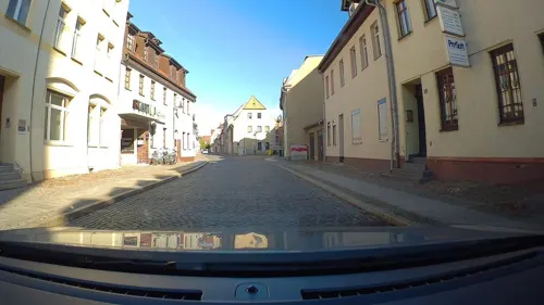
Historische Stadtmauer Delitzsch
Monument and historic site · 1.1 km
Stadtmauer am Hallischen Tor in Delitzsch. In Hintergrund der Schlossturm


Herrenhaus Storkwitz
Monument and historic site · 3.8 km
Herrenhaus in Storkwitz
2 Am Herrenhaus, Delitzsch

Technisches Rathaus
Monument and historic site · 0.9 km
Technische Rathaus, Schlossstraße in Delitzsch
30 Schloßstraße, Delitzsch
Mo,Fr 08:30-12:00; Tu 08:30-12:00,13:00-18:00; Th 08:30-12:00,13:00-15:00

Kursächsische Postmeilensäule
Monument and historic site
Kursächsische Postmeilensäule-Distanzsäule, Nachbildung des Originals

Stadtmauer
Monument and historic site · 1.0 km
Stadtmauer am Hallischen Tor in Delitzsch. In Hintergrund der Schlossturm

Stadtschreiberhaus
Monument and historic site · 0.8 km
11 Ritterstraße, Delitzsch

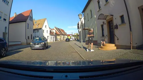

Herrenhaus Döbernitz
Monument and historic site · 1.4 km
Herrenhaus in Döbernitz
6 Am Park, Delitzsch

Herrenhaus Schenkenberg
Monument and historic site · 2.4 km
Herrenhaus in Schenkenberg
3 Lindenallee, Delitzsch
Breiter Turm
Monument and historic site · 0.6 km
Breiter Turm in Delitzsch, Teil der Stadtbefestigung
34 Breite Straße, Delitzsch
28 more on the map.
Parks, trails and playgrounds12




Elberitz-Freibad
Sports field and stadium · 0.8 km
Mo-Fr 13:00-20:00; Sa,Su 10:00-18:00



Restaurants and cafes61
Binh's
Restaurant · Asian
8 Bitterfelder Straße, Delitzsch
Mo 17:00-22:00; Tu-Sa 11:00-14:30,17:00-22:00; Su 11:00-14:30; PH...
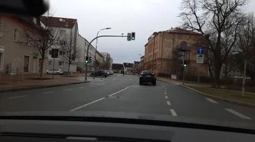
Restaurant Athos
Restaurant · Greek
17 Bitterfelder Straße, Delitzsch
Tu-Th 17:00-22:00; Fr,Sa 11:30-14:00,17:00-22:00; Su,PH...

Alfredo Pizza Service
Restaurant · Pizza
3 Töpfergasse, Delitzsch
Mo-Fr 11:00-22:00; Sa,Su 17:00-22:00
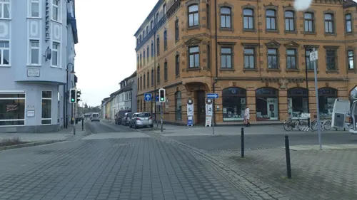
ASIA "Bei Lam" Eiscafé Restaurant
Restaurant · Asian, Ice Cream
1 Eilenburger Straße, Delitzsch
PH Mo, Tu-Su 11:00-22:00
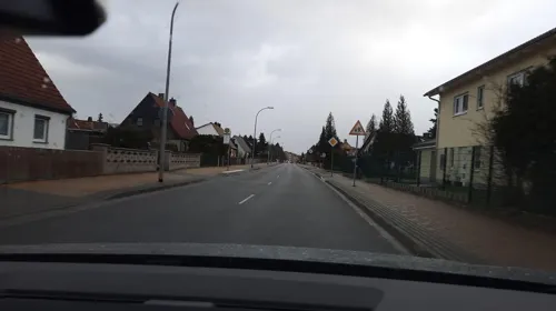
Bäckerei - Konditorei Meiling
Bakery · 1.5 km
33a Securiusstraße, Delitzsch
Mo-Fr 06:30-18:00; Sa 06:30-14:00
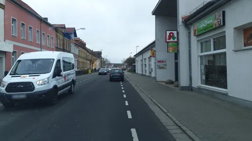
Eiscafé Mario Gelato
Cafe · Ice Cream
26 Eisenbahnstraße, Delitzsch
Mo-Sa 10:00-20:00; Su,PH 14:00-19:00
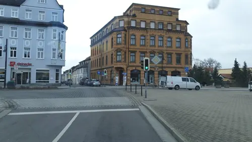


Hotel zum Weissen Ross
Restaurant · Greek
2-3 Roßplatz, Delitzsch
Mo-We 11:30-14:30,17:00-22:30; Fr-Su 11:30-14:30,17:00-22:30; Th off
Amai
Restaurant · Sushi
17 Eisenbahnstraße, Delitzsch
Mo-Fr 11:00-15:00,17:00-22:00; Sa,Su 12:00-22:00
Archimedes
Restaurant · Greek
26 Eisenbahnstraße, Delitzsch
Mo-Su 11:30-14:30,17:30-23:30; We off

Bäckerei & Konditorei Wendl
Bakery
35 Dübener Straße, Delitzsch
Mo-Fr 07:00-18:00; Sa,Su 07:00-17:00
49 more on the map.
History
Delitzsch was founded as a town around 1200 AD (according to chronicles) and became recognized as a city in 1300 AD. Both before and after its founding, the city fought off many invaders: first the Slavic tribes who had lived there before the city was founded and then, later, in the Thirty Years' War (1618–1648), the Swedes. A legend arose from this final encounter with the Swedes, saying that when the Swedes reached the river Lober, the tower warden's daughter spied them and blew a trumpet, allowing the citizens of the town to get to safety and prepare, and as a result the invaders were defeated. Every year there is a historical medieval style fair to celebrate this victory over the Swedes and, during the fair, shops are open on Sundays.
As a result of the Congress of Vienna in 1814–15, Delitzsch was granted to Prussia from the Kingdom of Saxony. A district of Delitzsch was established for administrative purposes. From 1815 to 1944, Delitzsch was part of the Prussian Province of Saxony, from 1944 to 1945 of the Province of Halle-Merseburg, from 1945 to 1952 of the State of Saxony-Anhalt, from 1952 to 1990 of the Bezirk Leipzig of East Germany and since 1990 of Saxony.
In World War II (1939–1945), only one building, the station, was burned, minimal damage in comparison with many other German urban centers.
According to a 1996 census, Delitzsch had more than 27,000 inhabitants.
From the History section of Delitzsch on Wikipedia, under CC BY-SA 4.0.
Where to stay10
Zimmervermietung Harnisch
Motel and hotel · 4.9 km
19 Sausedlitzer Straße, Delitzsch
Churches and places of worship17
Königreichssaal Jehovas Zeugen
Church · Jehovahs Witness · 6.1 km
10A Hauptstraße, Sandersdorf-Brehna
Shopping23
Gas and EV charging9
Schools, colleges and libraries14
Akademie der darstellenden Künste
School · 0.7 km
1 Anna-Zammert-Straße, Delitzsch
Healthcare13
Map of Delitzsch
213 places. The map loads OpenStreetMap tiles when you open it.
Getting there and nearby towns
Leipzig/Halle Airport (LEJ) is the nearest airport with scheduled flights listed in OpenStreetMap, 14 km away.
- Wolfen 16 km north, about 16 min by car
- Schkeuditz 17 km southwest, about 17 min by car
- Taucha 19 km southeast, about 19 min by car
- Leipzig 21 km south, about 21 min by car
- Eilenburg 21 km east, about 21 min by car
- Gräfenhainichen 24 km north, about 24 min by car
- Halle (Saale) 26 km west, about 26 min by car
- Markranstädt 26 km south, about 26 min by car
- Markkleeberg 28 km south, about 28 min by car
- Merseburg 31 km southwest, about 31 min by car
Drive times are estimates from straight-line distance, not routes.
Local news
Headlines from INDB.
Reviews, tips and questions
Loading what members have shared...
Sources and licences
- GeoNames (CC BY 4.0): population, coordinates, regions and time zone
- Mapillary (see each image): photos
- OpenStreetMap contributors (ODbL 1.0): places, airports, map data
- Wikidata (CC0 1.0): elevation, founding date, time zone, website, landmarks and historic places
- Wikimedia Commons (see each image): photos
- Wikipedia (CC BY-SA 4.0): overview and history text
Photo credits
- Panorama der Stadt Delitzsch, Dieter Herzog (baerchen57), CC BY-SA 3.0 de
- DelitzschKlarakirche, Jwaller, CC BY-SA 3.0
- Delitzsch Postmeilensauele-03, Radler59, CC BY-SA 4.0
- DelitzschMarien2, Jwaller, CC BY-SA 3.0
- Delitzsch, der Bahnhof, Dguendel, CC BY 3.0
- DelitzschKlaraportal, Jwaller, CC BY-SA 3.0
- Delitzsch-untBf, Jwaller, CC BY-SA 3.0
- Delitzsch, die St.-Marien-Kirche, Dguendel, CC BY 3.0
- Bahnhofsunterführung Delitzsch - Mural 04, Cookroach, CC BY-SA 4.0
- Bahnhofsunterführung Delitzsch - Mural 01, Cookroach, CC BY-SA 4.0
- Bahnhofsunterführung Delitzsch - Mural 06, Cookroach, CC BY-SA 4.0
- Bahnhofsunterführung Delitzsch - Mural 02, Cookroach, CC BY-SA 4.0
- Bahnhofsunterführung Delitzsch - Mural 08, Cookroach, CC BY-SA 4.0
- Bahnhofsunterführung Delitzsch - Mural 09, Cookroach, CC BY-SA 4.0
- Bahnhofsunterführung Delitzsch - Mural 05, Cookroach, CC BY-SA 4.0
- Bahnhofsunterführung Delitzsch - Mural 03, Cookroach, CC BY-SA 4.0
- Bahnhofsunterführung Delitzsch - Mural 07, Cookroach, CC BY-SA 4.0
- Delitzsch-untBf2, Jwaller, CC BY-SA 3.0
- DelitzschMarien1, Jwaller, CC BY-SA 3.0
- Delitzsch Bahnhof Wasserstation, Oberlausitzerin64, CC BY-SA 4.0
- DelitzschGrüne42, Jwaller, CC BY-SA 3.0
- DelitzschMarienportal, Jwaller, CC BY-SA 3.0
- Delitzsch, die Marienkirche, Dguendel, CC BY 3.0
- Delitzsch, Häuserzeile in der Grünstraße, Dguendel, CC BY 3.0
- Delitzsch Denkmal H Schulze-01, Radler59, CC BY-SA 4.0
- Delitzsch Denkmal H Schulze-02, Radler59, CC BY-SA 4.0
- Delitzsch, Denkmal von Dr. Hermann Schulze-Delitzsch, Dguendel, CC BY 3.0
- Delitzsch, die Marienstraße, Dguendel, CC BY 3.0
- Schulze-Delitzsch-DenkmalDZ, Jwaller, CC BY-SA 3.0
- Delitzsch, die Töpfergasse, Dguendel, CC BY 3.0
- Delitzsch, die Bismarckstraße, Dguendel, CC BY 3.0
- Delitzsch Eilenburger Strasse 16 Postamt, Radler59 ( talk ), CC BY-SA 4.0
- Delitzsch, Eilenburger Straße, Postamt und Breiter Turm, Dguendel, CC BY 3.0
- Delitzsch, Eilenburger Straße und Postamt, Dguendel, CC BY 3.0
- Delitzsch, das Hotel "Zum Weißen Ross", Dguendel, CC BY 3.0
- Delitzsch Postmeilensauele-05, Radler59, CC BY-SA 4.0
- 0x-delitzsch-turm-saeule, Oxensepp ( talk ), CC BY-SA 3.0
- Delitzsch Postmeilensauele, Radler59, CC BY-SA 3.0
- Delitzsch Rossplatz Brunnen, Radler59, CC BY-SA 4.0
- Delitzsch Postmeilensauele-04, Radler59, CC BY-SA 4.0
- Ehrenberg Gymnasium in Delitzsch Png3477, Geograf 95, CC BY-SA 3.0
- Stadtschreiberhaus (Delitzsch) - fast frontal sawn, Stadtschreiberhaus_(Delitzsch)_-_fast_frontal.jpg : Geograf 95 derivative work: Parzi ( talk ), CC BY-SA 3.0
- Delitzsch-Tiergarten-Zwergflamingos-08-05-2018-1220, Joachim Köhler, CC BY-SA 4.0
- Delitzsch St. Peter und Paul-02, Radler59, CC BY-SA 4.0
- Delitzsch Hospitalkirche St. Georg, Radler59, CC BY-SA 4.0
- BeerendorfKirche2, Jwaller, CC BY-SA 3.0
- BenndorfDZ-Kirche3, Jwaller, CC BY-SA 3.0
- Doebernitz Herrenhaus, Radler59, CC BY-SA 4.0
- Schenkenberg Herrenhaus-01, Radler59, CC BY-SA 4.0
- Kirche-Selben, Tnemtsoni, CC BY-SA 3.0
- Storkwitz Herrenhaus, Radler59, CC BY-SA 4.0
- KircheMocherwitz, Tnemtsoni, CC BY-SA 3.0
- PetersrodaKirche, Jwaller, CC BY-SA 3.0
- WerbelinerSeeS, Jwaller, CC BY-SA 3.0
- Naturschutzgebiet Spröde - Ansicht südlicher Zugang, Cookroach, CC BY-SA 4.0
- BrodauKirche1, Jwaller, CC BY-SA 4.0
- Kirche-Döbernitz, Tnemtsoni, CC BY-SA 3.0
- Schloss mit Barockgarten Delitzsch 20180813 002, Tilman2007, CC BY-SA 4.0
- Bitterfelder Bogen-3-Rampe, Muck, CC BY-SA 4.0
- Delitzsch Technisches Rathaus-01, Radler59, CC BY-SA 4.0
- Street-level photo, poxonline, CC BY-SA 4.0
- Street-level photo, changchun1, CC BY-SA 4.0
- Street-level photo, rhaegar, CC BY-SA 4.0
- Street-level photo, LarZz92, CC BY-SA 4.0
- Street-level photo, poxonline, CC BY-SA 4.0
- Street-level photo, LarZz92, CC BY-SA 4.0
- Street-level photo, rhaegar, CC BY-SA 4.0
- Street-level photo, rhaegar, CC BY-SA 4.0
- Street-level photo, changchun1, CC BY-SA 4.0
- Street-level photo, rhaegar, CC BY-SA 4.0
- Street-level photo, rhaegar, CC BY-SA 4.0
- Street-level photo, poxonline, CC BY-SA 4.0
- Street-level photo, poxonline, CC BY-SA 4.0
- Street-level photo, LarZz92, CC BY-SA 4.0
- Street-level photo, seb1982, CC BY-SA 4.0
- Street-level photo, poxonline, CC BY-SA 4.0
- Street-level photo, poxonline, CC BY-SA 4.0
- Street-level photo, poxonline, CC BY-SA 4.0


Page built November 8, 2026. Spotted a mistake? Tell us or suggest a place.