


Gräfenhainichen, Germany
Gräfenhainichen is a town of 11,228 people in Saxony-Anhalt, Germany.
Why visit Gräfenhainichen
Townapedia lists 87 museums and landmarks, 22 parks and trails, 41 places to eat, 18 places to stay and 9 attractions in and around town.
Highlights include Ferropolis, Irrgarten Alt-Jeßnitz, Gutsgarten and Jösigk.
Weather in Gräfenhainichen
Forecast from MET Norway (CC BY 4.0). Full forecast
About Gräfenhainichen
Gräfenhainichen (German pronunciation: [ɡʁɛːfn̩ˈhaɪnɪçn̩] ) is a town in the Wittenberg district in Saxony-Anhalt, Germany.
From the Wikipedia article Gräfenhainichen (this version), under CC BY-SA 4.0.
Things to do9


Museums and landmarks87


Fuhrmannsgrab
Monument and historic site · 5.1 km
Gedenkstein für 1858 tödlich verunglückten Holzfuhrmann Rungius


Gedenkstein Deutsch-Russische Waffenbrüderschaft 1813
Monument and historic site · 8.7 km


75 more on the map.
Parks, trails and playgrounds22

Gutsgarten
Park · 10.0 km
Gutspark des Rittergutes Altjeßnitz
We-Fr 14:00-18:00; Sa-Su 10:00-18:00




10 more on the map.
Restaurants and cafes41
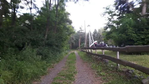
Schachtbaude
Restaurant · Regional · 9.7 km
1 Schachtbaude, Muldestausee
We 16:00-20:00; Tu-Su,PH 11:00-20:00; Mo,Tu off
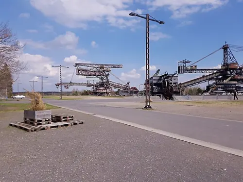
Kulturcafé Orangerie
Restaurant · German · 3.4 km
1 Ferropolisstraße, Gräfenhainichen
Mar-Oct: Tu-Su 10:00-18:00; SH Mo-Su 10:00-18:00

Landgaststätte Schlaitz
Restaurant · German · 8.0 km
59 Freiheitstraße, Muldestausee
Mo, We-Su,PH 11:00-22:00; Tu off
Seeidyll Möhlau
Restaurant · Cake, Ice Cream, Pizza, Regional, Sausage · 6.7 km
1 Brotweg, Gräfenhainichen
Tu-Fr 10:00-20:00, Sa,Su 11:00-20:00
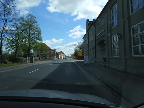
Heidegaststätte “Am Königsee”
Restaurant · 8.4 km
60 Mark Nauendorf, Kemberg
Fr-Su 12:00-20:00
Sportgaststätte "Schnitzelkönig"
Restaurant · German · 9.4 km
Mo-Su 11:00+
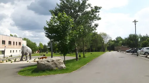

Eiscafé Solgården
Ice cream · 8.4 km
3 Freiheitstraße, Muldestausee
We-Fr 15:00-18:00; Sa,Su,PH 14:00-18:00; Mo,Tu off


29 more on the map.
History
Gräfenhainichen was first mentioned in writing in 1254. In 1454, Gräfenhainichen had its town rights reconfirmed after the old documents by which these were granted had been destroyed in a fire. In 1637, during the Thirty Years' War, the town was almost completely destroyed by the Swedes. The year 1859 saw the dedication of the new railway line between Wittenberg and Bitterfeld. The town's advantageous location allowed industry to move into town. The first printing shop was set up in 1874; until 1990, there were still as many as four printing shops in Gräfenhainichen. By 1890, brown coal was being mined in Gräfenhainichen, first underground, and then in strip mines. In 1954, at which time the town was in East Germany, Gräfenhainichen became a district seat (Kreisstadt) for three towns and 27 communities. This lasted until 1994, four years after Reunification.
From the History section of Gräfenhainichen on Wikipedia, under CC BY-SA 4.0.
Where to stay18
Churches and places of worship18
Paul-Gerhardt-Kapelle
Church · Protestant
1 Rudolf-Breitscheid-Straße, Gräfenhainichen
Stadtkirche
Church · Protestant · 8.4 km
Kirchstraße, Oranienbaum-Wörlitz
Kirche Schlaitz
Church · Protestant · 7.9 km
28 August-Bebel-Straße, Muldestausee
Shopping16
Gas and EV charging5
Schools, colleges and libraries9
Healthcare7
ipill.de Versandapotheke
Clinic and pharmacy · 1.4 km
25 Berliner Straße, Gräfenhainichen
Linden-Apotheke
Clinic and pharmacy
32 Rudolf-Breitscheid-Straße, Gräfenhainichen
Map of Gräfenhainichen
232 places. The map loads OpenStreetMap tiles when you open it.
Getting there and nearby towns
Flugplatz Köthen (KOQ) is the nearest airport with scheduled flights listed in OpenStreetMap, 35 km away.
- Wolfen 15 km southwest, about 15 min by car
- Köthen 34 km west, about 34 min by car
- Jessen 35 km east, about 35 min by car
- Zerbst 37 km northwest, about 37 min by car
- Taucha 38 km south, about 38 min by car
- Schkeuditz 40 km southwest, about 40 min by car
- Torgau 42 km southeast, about 42 min by car
- Leipzig 44 km south, about 44 min by car
- Halle (Saale) 43 km southwest, about 43 min by car
- Wurzen 44 km southeast, about 44 min by car
Drive times are estimates from straight-line distance, not routes.
Local news
Headlines from INDB.
Reviews, tips and questions
Loading what members have shared...
Sources and licences
- GeoNames (CC BY 4.0): population, coordinates, regions and time zone
- Mapillary (see each image): photos
- OpenStreetMap contributors (ODbL 1.0): places, airports, map data
- Wikidata (CC0 1.0): elevation, founding date, time zone, website
- Wikimedia Commons (see each image): photos
- Wikipedia (CC BY-SA 4.0): overview and history text
Photo credits
- GräfenhainichenKirchturm, Jwaller, CC BY-SA 3.0
- Gräfenhainichen, August-Bebel-Straße 16, M_H.DE, CC BY-SA 4.0
- Gräfenhainichen, Rudolf-Breitscheid-Straße 8, M_H.DE, CC BY-SA 4.0
- Gräfenhainichen,Oberer Stadtturm, M_H.DE, CC BY 3.0
- Gräfenhainichen, Paul-Gerhardt-Straße 11, M_H.DE, CC BY-SA 4.0
- Gräfenhainichen, Paul-Gerhardt-Straße 10, M_H.DE, CC BY-SA 4.0
- Gräfenhainichen, Adam-Weise-Straße 19, 21, 23, M_H.DE, CC BY-SA 4.0
- Gräfenhainichen,Stadtkirche Sankt Marien, M_H.DE, CC BY-SA 3.0
- Gräfenhainichen, Schulstraße 1, 2, M_H.DE, CC BY-SA 4.0
- Gräfenhainichen,Schule(Paul-Gerhardt-Gymnasium), M_H.DE, CC BY-SA 3.0
- Gräfenhainichen, Paul-Gerhardt-Straße 22, M_H.DE, CC BY-SA 4.0
- St. Marien Stadtkirche Gräfenhainichen -Nordfassade Pano aus fünf Einzelbildern- Anfang Oktober 2020, Cmuelle8, CC0
- Gräfenhainichen, Markt 9, Adler-Apotheke, M_H.DE, CC BY-SA 4.0
- Gräfenhainichen, Paul-Gerhardt-Haus, Infotafel, M_H.DE, CC BY-SA 4.0
- Gräfenhainichen, Paul-Gerhardt-Haus, M_H.DE, CC BY-SA 4.0
- Gräfenhainichen, Erinnerungsstätte für die Opfer des Faschismus (02), M_H.DE, CC BY-SA 4.0
- Gräfenhainichen, Erinnerungsstätte für die Opfer des Faschismus (03), M_H.DE, CC BY-SA 4.0
- Gräfenhainichen, Erinnerungsstätte für die Opfer des Faschismus (04), M_H.DE, CC BY-SA 4.0
- Gräfenhainichen, Erinnerungsstätte für die Opfer des Faschismus (05), M_H.DE, CC BY-SA 4.0
- Gräfenhainichen, Erinnerungsstätte für die Opfer des Faschismus (06), M_H.DE, CC BY-SA 4.0
- Gräfenhainichen, Erinnerungsstätte für die Opfer des Faschismus (01), M_H.DE, CC BY-SA 4.0
- GräfenhainichenBf, Jwaller, CC BY-SA 3.0
- Gräfenhainichen, Marktstraße 11, M_H.DE, CC BY-SA 4.0
- Gräfenhainichen Bahnhof Unterführung - panoramio (1), Dirk Eubel, CC BY-SA 3.0
- Gräfenhainichen, Marktstraße 3, M_H.DE, CC BY-SA 4.0
- Gräfenhainichen, Marktstraße 7, M_H.DE, CC BY-SA 4.0
- Gräfenhainichen,Distanzstein, M_H.DE, CC BY-SA 3.0
- Luftbild Ferropolis, Volker Henze at German Wikipedia, Public domain
- Altjessnitz Schloss, Radler59, CC BY-SA 4.0
- Burgkemnitz,Kriegerdenkmal, M_H.DE, CC BY-SA 3.0
- Kriegerdenkmal Gossa, Pinomat1, CC BY-SA 4.0
- Gefallenendenkmal in Gröbern im Juli 2020, Cmuelle8, CC0
- Burgkemnitz,Barockkirche,Naturdenkmal Stiel-Eichen, M_H.DE, CC BY-SA 4.0
- Paul-Gerhardt-Kapelle-GFH, Torsten Schleese, Public domain
- Zschornewitz, Dorfkirche, M_H.DE, CC BY-SA 4.0
- Kirche Gossa -Nordwestansicht- im Juli 2020, Cmuelle8, CC0
- Schlaitz kirche, Z thomas, CC BY 3.0
- Kirche Krina -Ostansicht Hochkant- im Juli 2020, Cmuelle8, CC0
- Kirche Gröbern -Nordansicht- im Juli 2020, Cmuelle8, CC0
- AltjeßnitzGutspark1, Jwaller, CC BY-SA 3.0
- Irrgarten Alt Jeßnitz, Olaf Meister, CC BY-SA 3.0
- Fuhrmannsgrab, Radler59, CC BY-SA 3.0
- Altjeßnitz,Kriegerdenkmal, M_H.DE, CC BY 3.0
- Oranienbaum Gedenkstein Deutsch-Russische Waffenbrüderschaft 1813, M_H.DE, CC BY 3.0
- Kriegerdenkmal Goltewitz, Schrotti(at)horstdorf, CC BY-SA 3.0
- Distanzsäule Gräfenhainichen 1728, Steinmann, CC BY-SA 3.0
- Oranienbaumer Heide k3, H.-U. Küenle, CC BY-SA 3.0
- Altjeßnitz,Kirche im Gutspark, M_H.DE, CC BY-SA 3.0
- Oranienbaum,Stadtkirche, M_H.DE, CC BY-SA 3.0
- Barockkirche Burgkemnitz, M_H.DE, CC BY-SA 3.0
- Goltewitz Kirche, Jwaller, CC BY-SA 3.0
- Jüdenberg,Kirche, M_H.DE, CC BY-SA 3.0
- Oranienbaum,Christkönig-Kirche, M_H.DE, CC BY-SA 3.0
- Gräfenhainichen, Marktstraße 10, Historische Bauschlosserei August Reinhard, M_H.DE, CC BY-SA 4.0
- Altjeßnitz,Gutspark mit Irrgarten, M_H.DE, CC BY-SA 3.0
- Street-level photo, changchun1, CC BY-SA 4.0
- Street-level photo, dsmm, CC BY-SA 4.0
- Street-level photo, changchun1, CC BY-SA 4.0
- Street-level photo, natura, CC BY-SA 4.0
- Street-level photo, britiger, CC BY-SA 4.0
- Street-level photo, changchun1, CC BY-SA 4.0
- Street-level photo, changchun1, CC BY-SA 4.0
- Street-level photo, atze02, CC BY-SA 4.0
- Street-level photo, dsmm, CC BY-SA 4.0
- Street-level photo, dsmm, CC BY-SA 4.0
- Street-level photo, sedumjo, CC BY-SA 4.0
- Street-level photo, natura, CC BY-SA 4.0
- Street-level photo, dsmm, CC BY-SA 4.0
- Street-level photo, sedumjo, CC BY-SA 4.0
- Street-level photo, rschmehl, CC BY-SA 4.0
- Street-level photo, tomatsn, CC BY-SA 4.0


Page built November 8, 2026. Spotted a mistake? Tell us or suggest a place.