


Why visit Markranstädt
Townapedia lists 93 museums and landmarks, 39 parks and trails, 132 places to eat, 13 places to stay and 19 attractions in and around town.
Highlights include Belantis, Bio-Hofladen Engler, Gustav-Adolf-Gedenkstätte and Kursächsische Postmeilensäule.
Weather in Markranstädt
Forecast from MET Norway (CC BY 4.0). Full forecast
About Markranstädt
Markranstädt (German: [ˈmaʁkʁanʃtɛt] ) is a town in the Leipzig district, in Saxony, Germany. It is situated 11 km southwest of the city of Leipzig and has close to 15,000 inhabitants.
From the Wikipedia article Markranstädt (this version), under CC BY-SA 4.0.
Things to do19

Belantis
Monument and historic site · 8.6 km
Amusement park in Germany

Bio-Hofladen Engler
Farm and orchard · 6.4 km
11 Wildentensteig, Leipzig
Tu 14:00-18:00; Fr 09:00-12:00, 14:00-18:00; Sa 09:00-12:00

Cineplex
Cinema and theater · 5.4 km
Mo-Th,Su,PH "15 Minuten vor der ersten Vorstellung bis 20:30 Uhr"...

Musikalische Komödie
Cinema and theater · 9.1 km
Operetta theatre in Leipzig, Germany



7 more on the map.
Museums and landmarks93


Kursächsische Postmeilensäule
Monument and historic site · 3.5 km
Kursächsische Postmeilensäule-Ganzmeilensäule (Reststück sichtbar vermauert)


Denkmal für die Gefallenen des 1. Weltkrieges
Monument and historic site · 4.3 km
Für die Gefallenen des I.WK

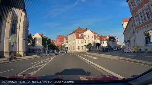
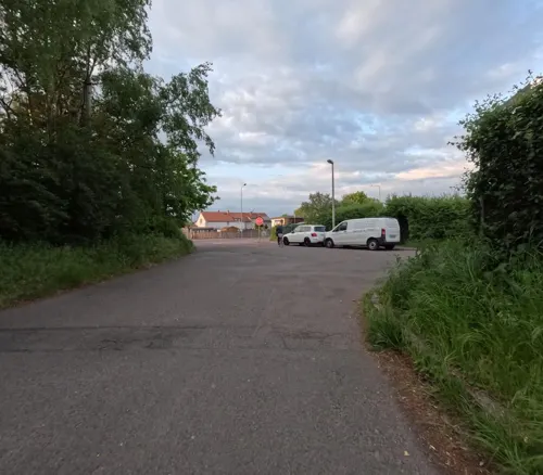
Grenzstein 56 KP/KS
Monument and historic site · 2.6 km
Grenzstein 56 KP/KS, steht leicht schräg am Straßenrand
water tower Leipzig-Großzschocher
Monument and historic site · 6.5 km
Wasserturm Leipzig-Großzschocher
Seebenischer Straße, Leipzig

Windmühle Göhrenz
Monument and historic site · 2.8 km
81 Albersdorfer Straße, Markranstädt




81 more on the map.
Parks, trails and playgrounds39

Stadtbad Markranstädt
Sports field and stadium · 0.6 km
23 Weststraße, Markranstädt
Jun-Sep: Mo-Fr 09:00-20:00, Jun-Sep Sa-Su 10:00-20:00



27 more on the map.
Restaurants and cafes132


Bi Do Quan
Restaurant · Vietnamese · 2.8 km
1 Staffelsteinstraße, Leipzig
Mo off; Tu-Su 11:00-15:00,17:00-21:00
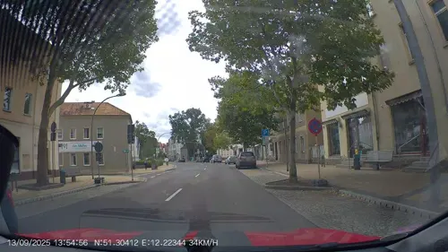
City Pizzaservice Markranstädt
Restaurant · Pizza, Indian, Greek, Fast Food, German
21 Leipziger Straße, Markranstädt
We-Mo 11:00-14:00,16:45-22:00; Tu,PH off
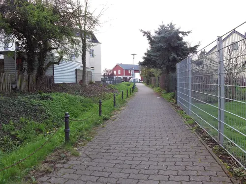
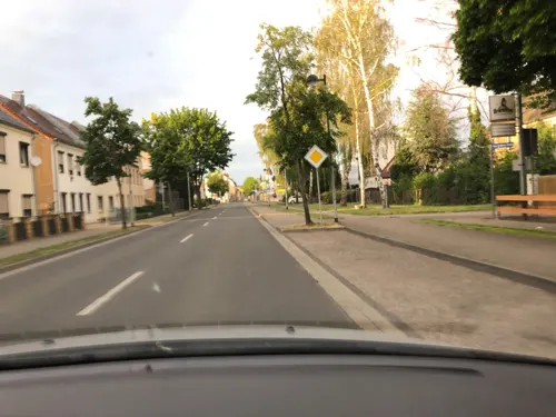
Restaurant Grüner Zweig
Restaurant · German
41 Lützner Straße, Markranstädt
We-Sa 11:00-14:30,17:00+; Su,PH 11:00-14:30
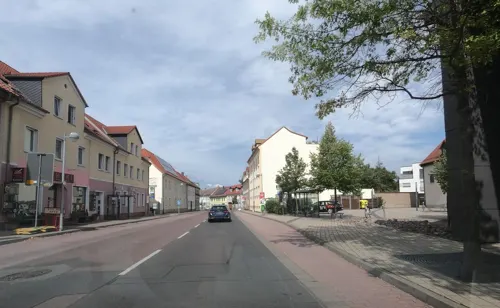
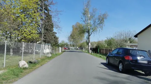
Zum Ast
Restaurant · German, International, Regional, Ice Cream
49 Hordisstraße, Markranstädt
Mo-Th 17:00-24:00; Fr 16:00-24:00; Sa 10:00-24:00; Su,PH 10:00-22:00
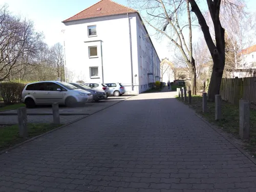
Asia Cocos
Restaurant · Asian · 6.3 km
16 Ratzelstraße, Leipzig
Mo-Fr 11:00-20:30; Su,PH 12:00-20:30; Sa off
Backhaus Hennig
Bakery · 1.0 km
70 Leipziger Straße, Markranstädt
Mo-Fr 07:00-19:00; Sa 07:00-16:00; Su,PH off

Backhaus Hennig
Bakery · 3.4 km
45 Großmiltitzer Straße, Leipzig
Mo-Fr 07:00-19:00; Sa 07:00-17:00; Su,PH off


120 more on the map.
History
The first documentary mention of Markranstädt was in 1285 as the seat of a court. Probably founded as a subsidiary settlement of the neighbouring monastic settlement Altranstädt, it was mentioned as a marketplace in 1287 and as a small town in 1354.
The name is also derived from its foundation: it was founded as Ranstädt (ran = "place on cleared land"), while meanwhile Ranstädt became known as Altranstädt (literally "Old Ranstadt"). Ranstädt then obtained the right to hold markets, hence the current name "Markranstädt".
In the year 1633, during the Thirty Years War, the town was burned by the Holk'sche Reiter. The fire destroyed, amongst other buildings, the town hall and all its records. The plague epidemic of 1634 and the famine of 1639 led to a drastic population decline. In the year 1650 Markranstädt numbered fewer than 150 inhabitants. The next local disaster happened in 1671, as 31 houses were destroyed by a large fire. At the beginning of the 18th century, the town began to recover again.
Markranstädt had its brush with world history on 23 July 1807, when Napoléon Bonaparte, together with his entourage, stayed overnight in the guesthouse Zum Rosenkranz. In the course of the Völkerschlacht in 1813 the town was once again adversely affected.
From the History section of Markranstädt on Wikipedia, under CC BY-SA 4.0.
Where to stay13
Churches and places of worship14
Shopping50
Gas and EV charging20
Schools, colleges and libraries38
Bischöfliches Maria-Montessori-Schulzentrum Leipzig
School · Roman Catholic · 5.9 km
Bibliothek der Berufsakademie Sachsen, Staatliche Studienakademie Leipzig
Library · 5.8 km
113a Schönauer Straße, Leipzig
Healthcare33
Map of Markranstädt
250 places. The map loads OpenStreetMap tiles when you open it.
Getting there and nearby towns
Leipzig/Halle Airport (LEJ) is the nearest airport with scheduled flights listed in OpenStreetMap, 13 km away.
- Leipzig 11 km east, about 11 min by car
- Schkeuditz 11 km north, about 11 min by car
- Merseburg 17 km west, about 17 min by car
- Weißenfels 21 km southwest, about 21 min by car
- Taucha 20 km northeast, about 20 min by car
- Halle (Saale) 26 km northwest, about 26 min by car
- Zeitz 29 km south, about 29 min by car
- Naumburg 33 km southwest, about 33 min by car
- Wurzen 37 km east, about 37 min by car
- Wolfen 40 km north, about 40 min by car
Drive times are estimates from straight-line distance, not routes.
Local news
Headlines from INDB.
Reviews, tips and questions
Loading what members have shared...
Sources and licences
- GeoNames (CC BY 4.0): population, coordinates, regions and time zone
- Mapillary (see each image): photos
- OpenStreetMap contributors (ODbL 1.0): places, airports, map data
- Wikidata (CC0 1.0): elevation, founding date, time zone, website, landmarks and historic places
- Wikimedia Commons (see each image): photos
- Wikipedia (CC BY-SA 4.0): overview and history text
Photo credits
- Markranstädt Rathaus, Joeb07, CC BY 3.0
- MarkranstädtLaurentiusSO, Jwaller, CC BY-SA 3.0
- MarkranstädtKathK, Jwaller, CC BY-SA 3.0
- Markranstädt, evangelische Kirche Sankt Laurentius Dm09257781 IMG 7038 2025-05-12 11.21, Michielverbeek, CC BY-SA 3.0 de
- MarkranstädtMarktWinter, Jwaller, CC BY-SA 3.0
- Marktarkaden Markranstädt - panoramio, Sebastian Haut, CC BY-SA 3.0
- MarkranstädtRatsgut, Jwaller, CC BY-SA 3.0
- MarkranstädtVolkshs, Jwaller, CC BY-SA 3.0
- MarkranstädtLaurentius, Jwaller, CC BY-SA 3.0
- MarkranstädtKrakP, Jwaller, CC BY-SA 3.0
- Stolpersteine Markranstädt-LeipzigerStr13, Cookroach, CC BY-SA 4.0
- MarkranstädtSchkeud, Jwaller, CC BY-SA 3.0
- MarkranstädtHordis, Jwaller, CC BY-SA 3.0
- Markranstädt Wasserturm 2023, Oberlausitzerin64, CC BY-SA 4.0
- MarkranstädtStadtparkT, Jwaller, CC BY-SA 3.0
- MarkranstädtLeipziger32, Jwaller, CC BY-SA 3.0
- MarkranstädtBahnsteig, Jwaller, CC BY-SA 3.0
- MarkranstädtBf, Jwaller, CC BY-SA 3.0
- Belantis 008, Wolkenkratzer, CC BY-SA 4.0
- Könneritzbrücke Leipzig (Straßenansicht), Thomas Schwenski, CC BY-SA 3.0
- Fontäne Palmengarten, Martin Geisler, CC BY-SA 3.0
- Bethanienkirche Leipzig Schleußig Sep2008, Langer Thomas, CC BY-SA 3.0
- Knautnaundorf Rundkapelle, Jwaller, CC BY-SA 3.0
- Max-Klinger-Schule-Leipzig, Daniel Obst ( Diskussion ), CC BY-SA 4.0
- Gustav-Adolf-Gedenkstätte Lützen (5), ArthurMcGill, CC BY-SA 4.0
- NovaEventis, Tnemtsoni, CC BY-SA 3.0
- Leipzig Allee-Center, Joeb07, CC BY 3.0
- RückmarsdorfWachberg, Jwaller, CC BY-SA 3.0
- Oberschule Ratzelstraße Leipzig, Martina Schroeter, CC BY-SA 4.0
- Kirche Miltitz, Lumu ( talk ), CC BY-SA 3.0
- Kirche Rehbach HDR exposure blending, JeanNeef, CC BY-SA 3.0
- Denkmalstele mit Inschrift „Zum Andenken an unsere Krieger 1870–71“ -Westansicht- Mitte Januar 2023, Cmuelle8, CC0
- Schönauer Park 2019 001, Don-kun, CC BY-SA 4.0
- Kirche Leipzig Schoenau, Leppus, CC BY-SA 3.0
- Pauluskirche Gruenau, Lumu ( talk ), CC BY-SA 3.0
- Leipzig Gruenau6, Joeb07, CC BY 3.0
- Kirche Lausen, Lumu ( talk ), CC BY-SA 3.0
- Goehrenz Windmuehle-1, Radler59, CC BY-SA 3.0
- DölzigKircheS, Jwaller, CC BY-SA 3.0
- Altranstädt (Markranstädt), das Schloss, Dguendel, CC BY 4.0
- KulkwitzKirche1, Jwaller, CC BY-SA 3.0
- LE-Gruenau Parkschloss, Radler59, CC BY-SA 4.0
- Gustav-Adolf-Gedenkstätte Lützen (2), ArthurMcGill, CC BY-SA 4.0
- Miltitz Kursaechs Postmeilens-03, Radler59 ( talk ), CC BY-SA 4.0
- Altranstädt Schloss, Martin Geisler, CC BY-SA 3.0
- Gefallenendenkmal-Schkölen, lutzto, CC BY-SA 3.0
- Grenzstein56-KP KS, lutzto, CC BY-SA 3.0
- Grenzstein58-KP KS, lutzto, CC BY-SA 3.0
- Kulkwitzer Lachen, Jwaller, CC BY-SA 3.0
- Doelzig Stiftskirche, Radler59 ( talk ), CC BY-SA 4.0
- Maria-Montessori-Schule in Leipzig-Grünau, Andreas Wolf 01, CC BY-SA 4.0
- Street-level photo, u14183, CC BY-SA 4.0
- Street-level photo, AR88, CC BY-SA 4.0
- Street-level photo, bejotel, CC BY-SA 4.0
- Street-level photo, n3o8z, CC BY-SA 4.0
- Street-level photo, kopra, CC BY-SA 4.0
- Street-level photo, zoegglmeyr, CC BY-SA 4.0
- Street-level photo, AR88, CC BY-SA 4.0
- Street-level photo, AR88, CC BY-SA 4.0
- Street-level photo, AR88, CC BY-SA 4.0
- Street-level photo, chhe, CC BY-SA 4.0
- Street-level photo, natura, CC BY-SA 4.0
- Street-level photo, zoegglmeyr, CC BY-SA 4.0
- Street-level photo, kopra, CC BY-SA 4.0
- Street-level photo, AR88, CC BY-SA 4.0
- Street-level photo, zoegglmeyr, CC BY-SA 4.0
- Street-level photo, kopra, CC BY-SA 4.0
- Street-level photo, zoegglmeyr, CC BY-SA 4.0
- Street-level photo, kopra, CC BY-SA 4.0
- Street-level photo, kopra, CC BY-SA 4.0
- Street-level photo, AR88, CC BY-SA 4.0


Page built November 8, 2026. Spotted a mistake? Tell us or suggest a place.