


Denkendorf, Germany
Denkendorf is a town of 10,357 people in Baden-Wurttemberg, Germany.
Why visit Denkendorf
Townapedia lists 6 museums and landmarks, 21 parks and trails, 101 places to eat, 17 places to stay and 10 attractions in and around town.
Highlights include Talmühle Rommel, Tierpark Nymphaea, Schloss Köngen and Kloster Denkendorf.
Weather in Denkendorf
Forecast from MET Norway (CC BY 4.0). Full forecast
About Denkendorf
Denkendorf (German pronunciation: [ˈdɛŋkn̩ˌdɔʁf] ; Swabian: Denggadorf) is a municipality in the district of Esslingen in Baden-Württemberg in southern Germany. It is located 5 km south of Esslingen, and 14 km southeast of Stuttgart.
From the Wikipedia article Denkendorf, Baden-Württemberg (this version), under CC BY-SA 4.0.
Things to do10
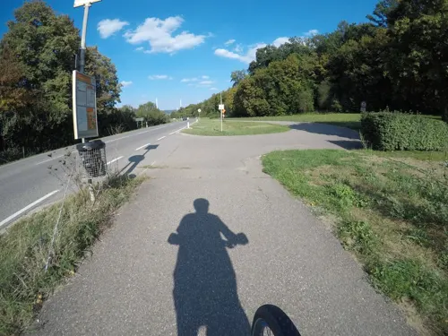
Talmühle Rommel
Farm and orchard · 2.2 km
Getreidemühle
19 Körschtalstraße
Mo, Tu, Th, Fr 08:30-12:00, 13:00-18:00; We, Sa 08:30-12:00

Tierpark Nymphaea
Zoo and aquarium · 3.4 km
12 Nymphaeaweg, Esslingen
Oct-Mar Tu-Su 10:00-17:00, Mo off, PH 10:00-17:00; Apr-Sep Mo-Fr...

Hagenauer Hof
Farm and orchard · 2.5 km
1, Neuhausen auf den Fildern
Mo-Fr 07:30-12:30, 13:30-18:00; Sa 07:30-12:30


Württembergische Landesbühne Esslingen
Cinema and theater · 5.1 km
Building in Esslingen am Neckar, Stuttgart Government Region, Bade-Württemberg, Germany

"An der Halle"
Cinema and theater · 2.4 km
26 Esslinger Straße, Ostfildern

Museums and landmarks6



Ehemalige Benediktinerpropstei
Monument and historic site · 2.2 km
12 Klosterhof, Ostfildern
Sulzbachviadukt Stützgelenk aus dem Jahr 1934
Monument and historic site · 1.2 km
Parks, trails and playgrounds21

Alter Neckar
Park · 4.7 km
Nature reserve in Baden-Württemberg, Germany

Am Rank (Röhmsee)
Park · 4.5 km
Nature reserve in Baden-Württemberg, Germany


Freibad Denkendorf
Sports field and stadium · 0.9 km
Mar-Aug Mo-Su 09:00-20:00; Sep Mo-Su 09:00-19:00

Wernau Quarry Ponds
Park · 5.9 km
Nature reserve in Baden-Württemberg, Germany



9 more on the map.
Restaurants and cafes101
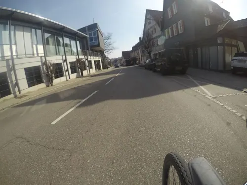
Denk.Bar
Cafe · Regional
Die Denk.Bar ist ein Ort für gute Gespräche, neue Gedanken und genussvolle Pausen.
1/1 Furtstraße, Denkendorf
Th-Sa 15:00-23:00; Su 15:00-20:00
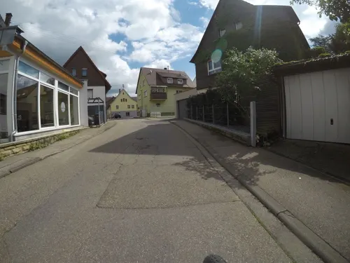
Il Sorriso
Restaurant · Italian · 2.7 km
Italienisches Restaurant
5 Kronenstraße, Esslingen am Neckar
Mo off; Tu-Fr 11:30-14:00, 17:00-23:00; Sa-Su 17:00-23:00

Zum Bock
Restaurant · German, Regional · 3.2 km
Mit Biergarten
16 Kirchstraße, Neuhausen auf den Fildern
Mo off; Tu-Sa 17:30-22:30; We-Fr 11:30-14:00; Su,PH 11:30-21:00
Argo
Restaurant · Greek · 3.4 km
14 Nymphaeaweg, Esslingen
Mo,PH off, Tu-Sa 18:00-24:00, Su 12:00-24:00

Cafe Restaurant Rotenhans
Cafe · Burger · 3.1 km
14 Schlossplatz, Neuhausen auf den Fildern
Mo-Fr 11:30-24:00; Sa,PH 10:00-24:00; Su 10:00-18:00
Café Pause
Restaurant · Regional · 2.4 km
26 Esslinger Straße, Ostfildern
Mo-Th 09:30-23:00; Fr 09:30-24:00; Sa 17:00-24:00; Su 10:00-17:00
Flair
Restaurant · German · 0.9 km
111 Mühlhaldenstraße, Denkendorf
Tu,We,Su 11:30-14:30; Th-Sa 11:30-14:30,17:30-22:00
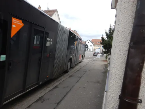
Frozen Fritz
Bar and pub · Burger · 3.1 km
10 Bahnhofstraße, Neuhausen auf den Fildern
Mo off; Tu-Th,Su 16:00-00:00; Fr,Sa 16:00-01:30
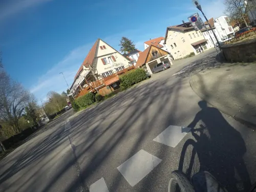
Gasthaus Ochsen
Restaurant · German · 3.4 km
20 Oberdorfstraße, Köngen
Mo,Th,Fr,Su 11:30-14:30, 17:00-22:00; Sa 17:00-22:00; Tu,We off
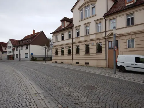


Gasthaus Saalbau
Restaurant · Regional · 3.2 km
4 Kirchstraße, Neuhausen auf den Fildern
Th-Mo 10:00-24:00
La Maschera
Restaurant · Italian
10 Karlstraße, Denkendorf
We-Fr, Su 11:30-14:30, 17:30-23:00; Sa 17:30-23:00; Mo,Tu off
Löwen Neuhausen
Restaurant · Regional · 3.0 km
2 Marktstraße, Neuhausen auf den Fildern
Mo-Fr 11:30-14:00, 17:30+; Tu, We off; Sa 17:30+; Su, PH...
89 more on the map.
History
Denkendorf is first mentioned in a document of 1129 in which Pope Honorius II took the monastery of Denkendorf under his protection. During the construction of the Autobahn (A8 today) in 1935, a series of Alemannic burial sites was uncovered, which are dated in the period shortly before 700 A.D.
After the end of World War II, the population soared, quadrupling from 1945 to 1995. Despite the district and municipal reform of 1973/74 Denkendorf maintained its independence.
From the History section of Denkendorf, Baden-Württemberg on Wikipedia, under CC BY-SA 4.0.
Where to stay17
Gasthof Pension Lamm
Motel and hotel · 3.1 km
10 Bahnhofstraße, Neuhausen auf den Fildern
Churches and places of worship21
Michaelskirche
Church · Protestant · 2.9 km
31 Brunnenstraße, Esslingen am Neckar
Basilika St. Petrus und Paulus
Church · Roman Catholic · 3.1 km
5 Klosterstraße, Neuhausen auf den Fildern
Liebfrauenkapelle
Church · Roman Catholic · 3.4 km
44 Bahnhofstraße, Neuhausen auf den Fildern
Heilige Dreifaltigkeit
Church · Catholic · 2.6 km
30 Rinnenbachstraße, Ostfildern
Kirche Jesu Christi der Heiligen der Letzten Tage, Gemeinde Esslingen
Church · Mormon · 3.2 km
16 Drosselweg, Esslingen am Neckar
Nuru Osmaniye
Place of worship · Sunni · 1.7 km
25 Felix-Wankel-Straße, Ostfildern
Shopping26
Gas and EV charging8
Schools, colleges and libraries21
Healthcare8
Map of Denkendorf
239 places. The map loads OpenStreetMap tiles when you open it.
Getting there and nearby towns
Manfred Rommel Airport Stuttgart (STR) is the nearest airport with scheduled flights listed in OpenStreetMap, 7 km away.
- Neuhausen auf den Fildern 3 km southwest, about 3 min by car
- Esslingen 5 km north, about 5 min by car
- Wendlingen am Neckar 5 km southeast, about 5 min by car
- Wernau 7 km east, about 7 min by car
- Nürtingen 8 km south, about 8 min by car
- Plochingen 8 km east, about 8 min by car
- Leinfelden-Echterdingen 11 km west, about 11 min by car
- Kirchheim unter Teck 11 km southeast, about 11 min by car
- Fellbach 13 km north, about 13 min by car
- Stuttgart 14 km northwest, about 14 min by car
Drive times are estimates from straight-line distance, not routes.
Local news
Headlines from INDB.
Reviews, tips and questions
Loading what members have shared...
Sources and licences
- GeoNames (CC BY 4.0): population, coordinates, regions and time zone
- Mapillary (see each image): photos
- OpenStreetMap contributors (ODbL 1.0): places, airports, map data
- Wikidata (CC0 1.0): elevation, founding date, time zone, website, landmarks and historic places
- Wikimedia Commons (see each image): photos
- Wikipedia (CC BY-SA 4.0): overview and history text
Photo credits
- Denkendorf in Württemberg 2, Dr. Bernd Gross, CC BY-SA 3.0
- Landappbw 316591 1817 Ortsbild Denkendorf, Martin Hahn, CC0
- Kloster Denkendorf - panoramio, qwesy qwesy, CC BY 3.0
- Denkendorf - panoramio (1), qwesy qwesy, CC BY 3.0
- KlosterDenkendorf-pjt2, Pjt56 --- If you use the picture outside Wikipedia I would appreciate a short e-mail to [email protected] or a message on my discussion page, CC BY-SA 4.0
- KlosterDenkendorf-pjt1, Pjt56 --- If you use the picture outside Wikipedia I would appreciate a short e-mail to [email protected] or a message on my discussion page, CC BY-SA 4.0
- Kloster Denkendorf - panoramio (2), qwesy qwesy, CC BY 3.0
- Kloster Denkendorf - panoramio (1), qwesy qwesy, CC BY 3.0
- Denkendorf - panoramio, qwesy qwesy, CC BY 3.0
- Körschtalviadukt, Paul-Gerhard Gruhler, CC BY-SA 3.0 de
- WLB Esslingen, Unknown author, CC BY-SA 3.0
- Neckar Altarm, Magnusolaus, CC BY-SA 3.0
- NSG Am Rank (Röhmsee) IMG 4311 by Vux, Vux, CC BY-SA 3.0
- Wernauer Baggerseen 05, CatalpaSpirit, CC BY-SA 3.0
- HZE Hochschule Esslingen, Erickubitschek, CC BY 3.0
- Erlachsee am Morgen, CatalpaSpirit, CC BY-SA 3.0
- Kloster Denkendorf, Ursus minor, CC BY-SA 3.0
- Nellingen-kirche2, Peter Schmelzle, CC BY-SA 3.0
- Schloss Koengen-2424, Boros.i, CC BY-SA 4.0
- Bücherei Denkendorf, 5R-MFT, CC BY-SA 4.0
- Landappbw 231512 1820 Ev. Michaelskirche Esslingen-Berkheim, Martin Hahn, CC0
- Sirnau Katholische Kirche, The original uploader was Igelball at German Wikipedia ., CC BY-SA 3.0
- Liebfrauenkapelle, 5R-MFT, CC BY-SA 4.0
- Kloster Denkendorf 2010, Hardcoreraveman, Public domain
- Erlachsee, Franz Burger, Public domain
- Köngen Schloss 01, Schwäbin, CC BY-SA 3.0 de
- Chorturm, Klaus Rädel, CC BY-SA 4.0
- Katholische Kirchengemeinde St. Johann Baptist - panoramio, qwesy qwesy, CC BY 3.0
- Purple Pink Flower, Caprice Osswald, CC BY 3.0
- SulzbachtalBauschild20121020, Norbert Hüttisch, Karlsruhe, CC BY-SA 3.0
- SulzbachtalBaustrasseNordwest20121020, Norbert Hüttisch, Karlsruhe, CC BY-SA 3.0
- Sulzbachtalbrücke 2024-05, Michael Kümmling, CC BY-SA 4.0
- Tierpark Nymphaea (6), Laserlicht, CC BY-SA 4.0
- Street-level photo, mfa, CC BY-SA 4.0
- Street-level photo, mfa, CC BY-SA 4.0
- Street-level photo, mfa, CC BY-SA 4.0
- Street-level photo, mfa, CC BY-SA 4.0
- Street-level photo, 5rmft, CC BY-SA 4.0
- Street-level photo, jonsger, CC BY-SA 4.0
- Street-level photo, jonsger, CC BY-SA 4.0
- Street-level photo, jonsger, CC BY-SA 4.0
- Street-level photo, mfa, CC BY-SA 4.0
- Street-level photo, xallace, CC BY-SA 4.0
- Street-level photo, mfa, CC BY-SA 4.0
- Street-level photo, abes, CC BY-SA 4.0
- Street-level photo, mfa, CC BY-SA 4.0
- Street-level photo, mfa, CC BY-SA 4.0
- Street-level photo, mfa, CC BY-SA 4.0
- Street-level photo, mfa, CC BY-SA 4.0
- Street-level photo, mfa, CC BY-SA 4.0
- Street-level photo, jonsger, CC BY-SA 4.0
- Street-level photo, mfa, CC BY-SA 4.0
- Street-level photo, mfa, CC BY-SA 4.0
- Street-level photo, plexi32, CC BY-SA 4.0


Page built November 8, 2026. Spotted a mistake? Tell us or suggest a place.