


Kirchheim unter Teck, Germany
Kirchheim unter Teck is a town of 40,206 people in Baden-Wurttemberg, Germany.
Why visit Kirchheim unter Teck
Townapedia lists 35 museums and landmarks, 48 parks and trails, 227 places to eat, 16 places to stay and 15 attractions in and around town.
Highlights include Hofladen Schäferei-Ponyhof-Bitterer, club bastion, Schloss Kirchheim and Urweltmuseum Hauff.
Weather in Kirchheim unter Teck
Forecast from MET Norway (CC BY 4.0). Full forecast
About Kirchheim unter Teck
Kirchheim unter Teck (German pronunciation: [ˈkɪʁçhaɪm ʔʊntɐ ˈtɛk], lit. 'Kirchheim under Teck'; Swabian: Kircha) is a town in Baden-Württemberg, Germany, in the district of Esslingen. It is located on the small river Lauter, a tributary of the Neckar. It is 10 km (6 miles) near the Teck castle, approximately 35 kilometres (22 miles) southeast of Stuttgart. It is the fourth city in the Esslingen district, forming a district centre for the surrounding communities.
From the Wikipedia article Kirchheim unter Teck (this version), under CC BY-SA 4.0.
Things to do15

Hofladen Schäferei-Ponyhof-Bitterer
Farm and orchard · 1.4 km
200 Zu den Schafhofäckern, Kirchheim unter Teck
Fr 16:00-19:00; Sa 09:00-15:00

Holzers Hofladen
Farm and orchard · 5.4 km
3 Birkenhöfe, Hochdorf
Fr 14:30 - 18:30



Luchs
Farm and orchard
Mo-Fr 08:00-17:00; Sa 08:00-12:30; PH,Su off
Hofladen Wolf
Farm and orchard · 1.8 km
Tu 13:00-18:00; Fr 13:00-18:00; Sa 09:00-12:00
3 more on the map.
Museums and landmarks35

Schloss Kirchheim
Museum
8 Schloßplatz, Kirchheim unter Teck
May 01-Nov 01: We,Sa 14:00-17:00; May 01-Nov 01: Su,PH 13:30-17:30




Kastell Dettingen unter Teck
Monument and historic site · 5.1 km
Das Kastell liegt als Bodendenkmal unter einer landwirtschaftlich genutzten Fläche. Es diente dem direkten Schutz des so genannten...

Literarisches Museum im Max-Eyth-Haus
Monument and historic site
15 Max-Eyth-Straße, Kirchheim unter Teck

Reste de "Natter"-Startrampe Ablage
Monument and historic site · 3.9 km
Alte Schule
Monument and historic site · 3.4 km
1 Schulstraße, Dettingen unter Teck
23 more on the map.
Parks, trails and playgrounds48

Am Rank (Röhmsee)
Park · 7.4 km
Nature reserve in Baden-Württemberg, Germany


Wernau Clay Pit
Park · 4.4 km
Nature reserve in Baden-Württemberg, Germany

Wernau Quarry Ponds
Park · 6.3 km
Nature reserve in Baden-Württemberg, Germany



Ötlingen Festpark
Park · 2.7 km
Park der auch als Fest- und Maibaumstellplatz benutzt wird.
Schönblickstraße, Kirchheim unter Teck

36 more on the map.
Restaurants and cafes227
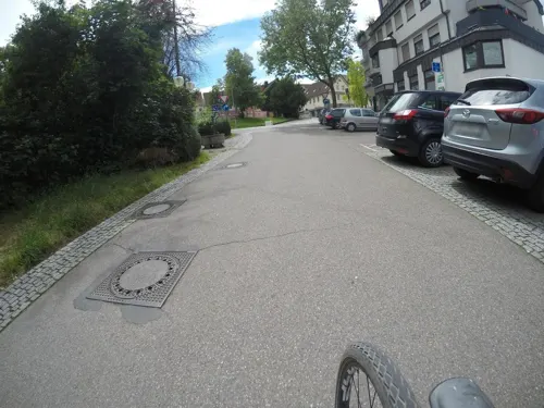
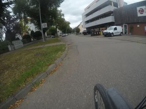
Ziegelwasen
Restaurant · Pizza
1 Obere Steinstraße, Kirchheim unter Teck
Mo-Sa 11:00-14:00,17:00-23:00; Su 11:00-21:00
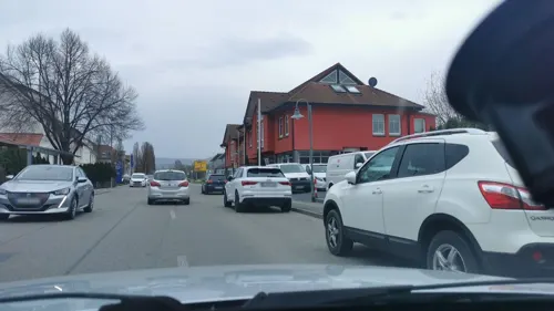
Archie
Diner · American · 4.5 km
Ehemaliges Bahnhofsgebäude
39 Bahnhofstraße, Holzmaden
Mo-Fr 17:30-01:00, Sa-Su 11:00-01:00
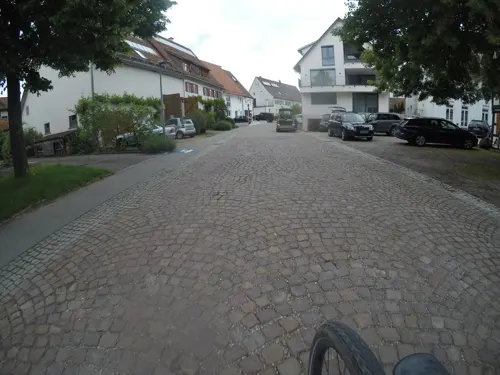
Bei den Fegers
Restaurant · German · 4.4 km
18 Weilheimer Straße, Kirchheim unter Teck
Tu-Sa 17:00-22:00

Pop's Burger
Restaurant · Burger
Ehem. Gaststätte Bären. Burger & Sportsbar.
18 Marktstraße, Kirchheim unter Teck
Mo 11:00-22:00; Tu-Sa 11:00-23:00; Su 12:00-22:00
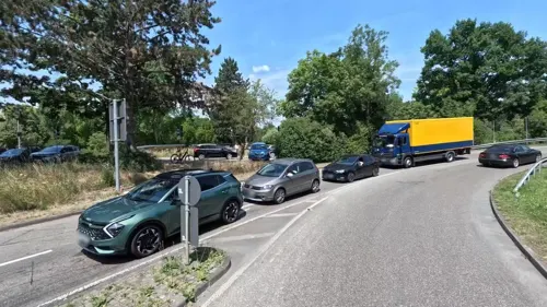
Teckkeller
Restaurant · Regional · 0.8 km
82 Jesinger Straße, Kirchheim unter Teck
Mo,Tu,Th,Fr,Sa 11:30-13:45,17:30-22:00; Su 11:30-14:00,17:30-20:30
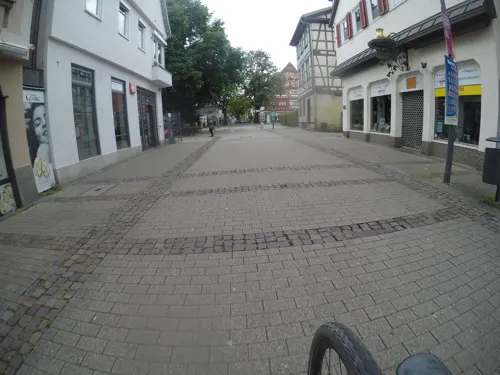
adoro gusto
Restaurant · Italian
Excellence in wine & food. Gelato.
55 Marktstraße, Kirchheim unter Teck
Mo,Tu,Th,Fr,Su 10:00-18:00; Sa 09:00-18:00
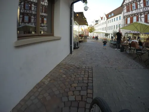
il Padrino
Restaurant · Italian
Wir sind eine Osteria. In Italien serviert man in einer Osteria hauptsächlich Wein und verfügt über eine kleine Speisekarte. Eine große...
7 Marktplatz, Kirchheim unter Teck
Tu-Sa 11:30-14:00, 17:30-21:30; PH unknown
Al Borgo
Restaurant · Italian · 1.8 km
50 Weiler Schafhof, Kirchheim unter Teck
Tu-Fr 17:00-23:30; Sa 11:00-24:00; Su 11:00-22:00
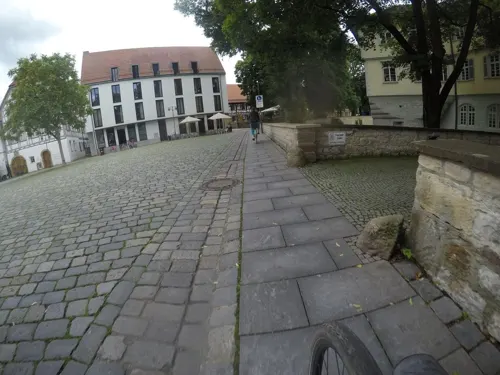
Altes Forstamt
Restaurant · German, Regional
9 Schloßplatz, Kirchheim unter Teck
Mo-Sa 11:30-14:00,17:30-22:30; Su 11:30-14:00
Bürgerkeller
Restaurant · Regional · 5.5 km
1a Hauptstraße, Schlierbach
Th-Sa 17:30-21:00; Su 11:30-19:00


Café Mittendrin
Cafe · Cake, Coffee Shop, Ice Cream · 0.8 km
4 Otto-Mörike-Straße, Kirchheim unter Teck
Tu-Su 08:30-17:30
215 more on the map.
History
Traces of settlements from the Neolithic, the Celtic and Romans era have been found. Alamannic graves prove the existence of three settlements in the area of the city during the migration period.
Although the first written mention of Kirchheim dates only to the year 960, the town certainly existed during the Alemannic era of the 6th and 7th century. Perhaps the current settlement was founded during the Christianization when several older villages were merged and a church was built and dedicated to St. Martin.
In 960, Kirchheim came in the possession of Emperor Otto I in an exchange for the diocese Chur. The Market and the royal mint date back to the mid-11th Century.
The place was owned by the Dukes of Zähringen and was inherited in 1186 by a lateral line, the Duke of Teck. The Dukes of Teck are known since 1252, but the title of duke more a family name than a proper title. Sometime between 1220 and 1230, they elevated Kirchheim to a market town under Freiburg law. Duke Louis I of Teck founded the Kirchheim nunnery in 1240. In 1270, Duke Conrad II of Teck initiated the construction of a city wall.
From the History section of Kirchheim unter Teck on Wikipedia, under CC BY-SA 4.0.
Where to stay16
Churches and places of worship40
Auferstehungskirche
Church · Lutheran · 0.9 km
11 Zeppelinstraße, Kirchheim unter Teck
Sankt Johannes
Church · Protestant · 4.2 km
6 Kirchhofstraße, Kirchheim unter Teck
St. Georgskirche
Church · Protestant · 3.3 km
6 Schulstraße, Dettingen unter Teck
St. Nikolaus von der Flüe
Church · Catholic · 3.7 km
Alte Bissinger Straße, Dettingen unter Teck
Shopping55
Gas and EV charging21
Schools, colleges and libraries31
Stadtbücherei Kirchheim unter Teck
Library
16 Max-Eyth-Straße, Kirchheim unter Teck
Gemeinschaftsschule Albershausen, Außenstelle Schlierbach
School · 5.4 km
28 Kirchstraße, Schlierbach
Healthcare15
Pinguin Apotheke im Teck-Center
Clinic and pharmacy · 0.7 km
2 Stuttgarter Straße, Kirchheim unter Teck
berg'sche Apotheke
Clinic and pharmacy · 5.3 km
97 Kirchheimer Straße, Wernau (Neckar)
Central-Apotheke am Stadtplatz
Clinic and pharmacy · 5.3 km
98 Kirchheimer Straße
Pinguin Apotheke Nanz Center
Clinic and pharmacy · 0.6 km
1 Stuttgarter Straße, Kirchheim unter Teck
Map of Kirchheim unter Teck
250 places. The map loads OpenStreetMap tiles when you open it.
Getting there and nearby towns
Manfred Rommel Airport Stuttgart (STR) is the nearest airport with scheduled flights listed in OpenStreetMap, 18 km away.
- Wernau 6 km northwest, about 6 min by car
- Wendlingen am Neckar 6 km northwest, about 6 min by car
- Plochingen 8 km north, about 8 min by car
- Nürtingen 9 km west, about 9 min by car
- Uhingen 12 km northeast, about 12 min by car
- Neuhausen auf den Fildern 13 km west, about 13 min by car
- Metzingen 18 km southwest, about 18 min by car
- Schorndorf 18 km north, about 18 min by car
- Bad Urach 18 km south, about 18 min by car
- Leinfelden-Echterdingen 22 km west, about 22 min by car
Drive times are estimates from straight-line distance, not routes.
Local news
Headlines from INDB.
Reviews, tips and questions
Loading what members have shared...
Sources and licences
- GeoNames (CC BY 4.0): population, coordinates, regions and time zone
- Mapillary (see each image): photos
- OpenStreetMap contributors (ODbL 1.0): places, airports, map data
- Wikidata (CC0 1.0): elevation, founding date, time zone, website, landmarks and historic places
- Wikimedia Commons (see each image): photos
- Wikipedia (CC BY-SA 4.0): overview and history text
Photo credits
- Stolpersteine Kirchheim unter Teck Alleenstraße 87, Looniverse, CC BY-SA 4.0
- Stolpersteine Kirchheim unter Teck für Rolf Reutlinger, Looniverse, CC BY-SA 4.0
- Stolpersteine Kirchheim unter Teck für Hannchen Reutlinger, Looniverse, CC BY-SA 4.0
- Stolperstein Kirchheim unter Teck - Alleenstraße 87 - Rolf Reutlinger, Stadt Kirchheim unter Teck, CC BY 4.0
- Stolperstein Kirchheim unter Teck - Alleenstraße 87 - Hannchen Reutlinger, Stadt Kirchheim unter Teck, CC BY 4.0
- Stolperstein Kirchheim unter Teck - Alleenstraße 87 - Gerd Reutlinger, Stadt Kirchheim unter Teck, CC BY 4.0
- Amtsgericht Alleenstr 86 Kirchheim unter Teck 2024-06-13, MTheiler, CC BY-SA 3.0
- Dreikönigstraße 13 Kirchheim unter Teck 20220703 0080, Tilman2007, CC BY-SA 4.0
- Kirchheim unter Teck Stadelmayer 50241, Jacquesverlaeken, CC BY-SA 3.0
- Dreikönigstraße 3 Kirchheim unter Teck 20220703 0090, Tilman2007, CC BY-SA 4.0
- Dreikönigstraße 3 Kirchheim unter Teck 20220703 0091, Tilman2007, CC BY-SA 4.0
- Dreikönigstraße 3 Kirchheim unter Teck 20220703 0092, Tilman2007, CC BY-SA 4.0
- Dreikönigstraße 3 Kirchheim unter Teck 20220703 0093, Tilman2007, CC BY-SA 4.0
- Stolperstein Kirchheim unter Teck - Jesinger Straße 18 - Clara Sarah Goldschmidt, Stadt Kirchheim unter Teck, CC BY 4.0
- Stolperstein Kirchheim unter Teck - Jesinger Straße 18 - Babette Reutlinger, Stadt Kirchheim unter Teck, CC BY 4.0
- Stolperstein Kirchheim unter Teck - Jesinger Straße 18 - Auguste Reutlinger, Stadt Kirchheim unter Teck, CC BY 4.0
- Stolperstein Kirchheim unter Teck - Jesinger Straße 18 - Wolf Reutlinger, Stadt Kirchheim unter Teck, CC BY 4.0
- NSG Am Rank (Röhmsee) IMG 4311 by Vux, Vux, CC BY-SA 3.0
- Wernauer Baggerseen 05, CatalpaSpirit, CC BY-SA 3.0
- Wernauer Lehmgrube (NSG 1.143), CatalpaSpirit, CC BY-SA 4.0
- 1944 Bachem Ba 349 Natter r anagoria, Anagoria, CC BY 3.0
- Martinskirche kirchheim, Andreas Faessler, CC BY-SA 4.0
- Ehem. Burgplatte vom Wall aus gesehen, Eon247, CC BY-SA 4.0
- Kirchheim-Teck-Schloss, Enslin, CC BY-SA 3.0
- Naturschutzgebiet Nägelestal 02, CatalpaSpirit, CC BY-SA 4.0
- SG im Grünen, King-Julien, CC BY-SA 3.0
- HolzmadenHauff, Ssch, CC BY-SA 3.0
- HasenholzNatterSud2026-05 001, Sipalius, CC BY-SA 4.0
- NSG 1.185 Wiestal mit Rauber und Trinkbach, R.kaelcke, CC BY-SA 4.0
- Stadtbücherei Kirchheim unter Teck, Vux, CC BY-SA 3.0
- Maria-Hilf-Kapelle Wernau, Magalex, CC BY-SA 4.0
- Jesingen-kirche, Peter Schmelzle, CC BY-SA 3.0
- Dettingen, St. Nikolaus von der Flüe (23), Subbass1, CC BY-SA 4.0
- PXL 20251221 130548463.MP, MFAndreas, CC BY-SA 4.0
- Marktplatz 6 Kirchheim unter Teck 20220703 0181, Tilman2007, CC BY-SA 4.0
- Dettingen unter Teck Kreis Esslingen St. Georgskirche, Buchbibliothek, CC BY-SA 4.0
- Max-Eyth-Straße 33 Kirchheim unter Teck 20220703 0244, Tilman2007, CC BY-SA 4.0
- Jakobskirche, SwanA15, CC BY-SA 4.0
- Landappbw 875263 1820 Pfarrkirche Nabern, Martin Hahn, CC0
- Bachem Ba 349 Natter launch pad, MartinMerinsky, CC BY-SA 4.0
- Bachem Ba 349 Natter launch pad ruins, MartinMerinsky, CC BY-SA 4.0
- Blick vom Egelsberg aus auf die Schwäbische Alb mit der Limburg - panoramio, Andy Mendyk, CC BY-SA 3.0
- 3Kaiserberge vom Hörnle aus - panoramio, wn, CC BY 3.0
- Street-level photo, mfa, CC BY-SA 4.0
- Street-level photo, mfa, CC BY-SA 4.0
- Street-level photo, mfa, CC BY-SA 4.0
- Street-level photo, mfa, CC BY-SA 4.0
- Street-level photo, andyna, CC BY-SA 4.0
- Street-level photo, bct, CC BY-SA 4.0
- Street-level photo, mfa, CC BY-SA 4.0
- Street-level photo, mfa, CC BY-SA 4.0
- Street-level photo, mfa, CC BY-SA 4.0
- Street-level photo, mfa, CC BY-SA 4.0
- Street-level photo, mfa, CC BY-SA 4.0
- Street-level photo, mfa, CC BY-SA 4.0
- Street-level photo, mfa, CC BY-SA 4.0
- Street-level photo, mfa, CC BY-SA 4.0
- Street-level photo, mfa, CC BY-SA 4.0
- Street-level photo, plexi32, CC BY-SA 4.0
- Street-level photo, plexi32, CC BY-SA 4.0
- Street-level photo, mfa, CC BY-SA 4.0
- Street-level photo, derlipper, CC BY-SA 4.0
- Street-level photo, xallace, CC BY-SA 4.0
- Street-level photo, mfa, CC BY-SA 4.0
- Street-level photo, xallace, CC BY-SA 4.0
- Street-level photo, mfa, CC BY-SA 4.0
- Street-level photo, xallace, CC BY-SA 4.0
- Street-level photo, plexi32, CC BY-SA 4.0
- Street-level photo, bct, CC BY-SA 4.0
- Street-level photo, andyna, CC BY-SA 4.0
- Street-level photo, mfa, CC BY-SA 4.0
- Street-level photo, mfa, CC BY-SA 4.0


Page built November 8, 2026. Spotted a mistake? Tell us or suggest a place.