


Ebersbach an der Fils, Germany
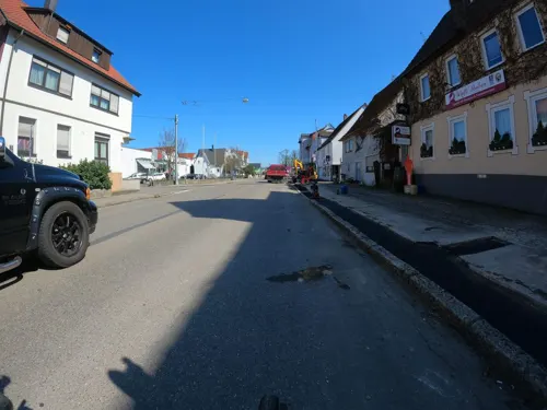
Ebersbach an der Fils is a town of 15,919 people in Baden-Wurttemberg, Germany.
Why visit Ebersbach an der Fils
Townapedia lists 17 museums and landmarks, 16 parks and trails, 114 places to eat, 9 places to stay and 8 attractions in and around town.
Highlights include Zwecker, Hof & Höfle, Museum Patina and Alte Post.
Weather in Ebersbach an der Fils
Forecast from MET Norway (CC BY 4.0). Full forecast
About Ebersbach an der Fils
Ebersbach an der Fils (German pronunciation: [ˈeːbɐsbax ʔan deːɐ̯ ˈfɪls], lit. 'Ebersbach on the Fils') is a town in the district of Göppingen in Baden-Württemberg, in southern Germany.
From the Wikipedia article Ebersbach an der Fils (this version), under CC BY-SA 4.0.
Things to do8
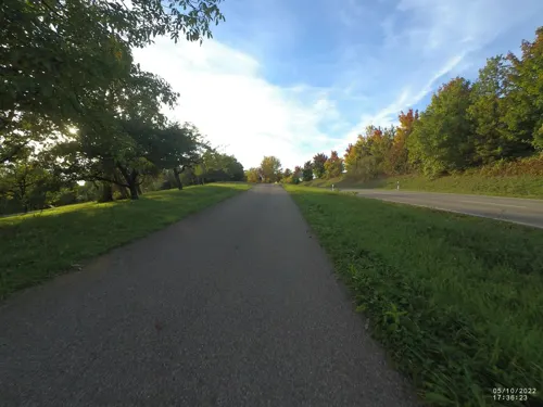
Zwecker
Farm and orchard · 3.4 km
Obst, Gemüse, Salat, Kartoffeln
2 Birkenhof, Ebersbach an der Fils
Tu 14:00-18:00; Fr 09:00-18:00; Sa 09:00-14:00

Hof & Höfle
Farm and orchard · 2.0 km
Ziegenmilchprodukte. Fleischprodukte aus Rind, Schwein, Lamm, Ziege. Kuhmilchkäse, Eier, Nudeln.
Fr 15:00-18:00; 09:30-12:00; PH closed
Mühle Röhm
Farm and orchard · 4.7 km
7 Sparwieser Straße, Uhingen
Mo-Fr 09:00-12:00,14:00-17:30; Sa 09:00-12:00; PH off
Struthof Hofladen
Farm and orchard · 4.1 km
Hausmacher Dosenwurst, Steinbackofenbrot, Eier aus Bodenhaltung, Teigwaren, Äpfel, Salat - und Speisekartoffeln, Zwiebel, Gemüse und...
45 Einfeldstraße, Uhingen
Tu,Fr 16:30-17:30, Sa 09:00-11:00

Geflügelhof Unterkircher
Farm and orchard · 3.0 km
Mo-Sa 08:30-12:30, Mo,Th,Fr 14:00-18:00; PH Su off
Sulpacher Hofladen
Farm and orchard · 1.2 km
12 Roßwälder Straße, Ebersbach an der Fils

Museums and landmarks17



5 more on the map.
Parks, trails and playgrounds16


Waldhöhenfreibad
Sports field and stadium · 1.0 km
33 Dickneweg, Ebersbach an der Fils


4 more on the map.
Restaurants and cafes114
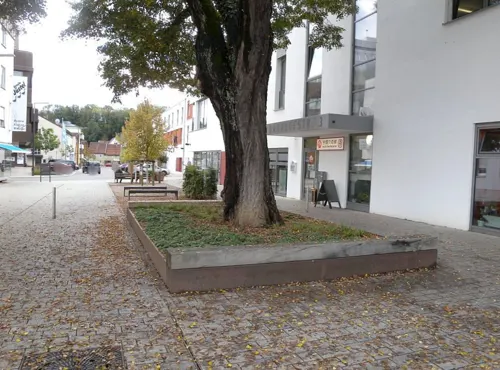
Asia Jin Yuan Restaurant
Restaurant · Asian, Thai, Chinese, Sushi
3 Bahnhofstraße, Ebersbach an der Fils
Mo-Sa 11:30-15:00,17:30-23:00; Su,PH 11:30-23:00
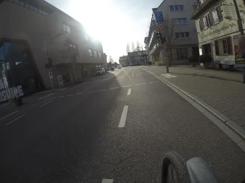
B&S Lounge
Restaurant · Steak House · 4.5 km
5 Ulmer Straße, Reichenbach an der Fils
Tu-Su 17:00-22:00
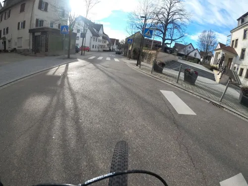
Bürgerkeller
Restaurant · Regional · 4.8 km
1a Hauptstraße, Schlierbach
Th-Sa 17:30-21:00; Su 11:30-19:00

Fino da Mario
Restaurant · Italian
5 Karlstraße, Ebersbach an der Fils
Mo 17:30-22:00; Tu-Su 11:30-14:00,17:30-22:00; Sa off; PH off
Gasthaus Hecht
Restaurant · German
11 Kirchheimer Straße, Ebersbach an der Fils
Tu-Su 10:00-14:00,17:30-22:00
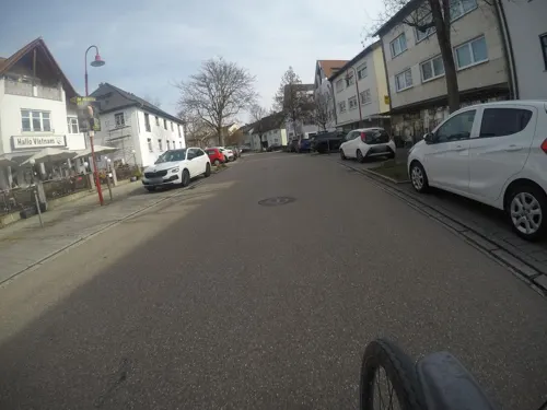
Hallo Vietnam
Restaurant · Vietnamese · 4.5 km
14 Stuttgarter Straße
Tu-Su 11:30-14:30,16:30-21:00; Mo,PH Off
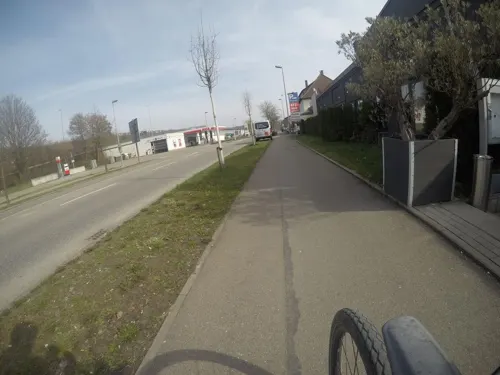
MEAT&Co. GmbH
Restaurant · Steak House · 0.9 km
50 Hauptstraße, Ebersbach an der Fils
Su-Th 17:00-23:00; Fr,Sa 17:00-24:00
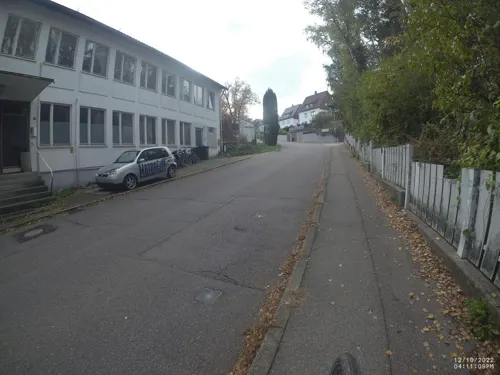
Restaurant La Grutta
Restaurant · Italian · 3.9 km
18 Staufenstraße, Albershausen
We-Sa,PH 16:30-21:00; Su 11:30-21:00



102 more on the map.
History
Ebersbach an der Fils was first mentioned in 1170. In 1299, it became a possession of the County of Württemberg, which already owned property nearby. Throughout the Middle Ages, Ebersbach was under the jurisdiction of the city of Göppingen. Under the Kingdom of Württemberg, Göppingen's district was reorganized as Oberamt Göppingen, which became Landkreis Göppingen, its contemporary incarnation, in 1938. Ebersbach developed considerably after World War II, first spreading to the west of the city. The city expanded eastward, northeastward, and then westward in the 1980s. Ebersbach grew politically in the 1970s with the incorporation of the municipalities of Roßwälden in 1972 and Bünzwangen and Weiler ob der Fils in 1975.
From the History section of Ebersbach an der Fils on Wikipedia, under CC BY-SA 4.0.
Where to stay9
Churches and places of worship25
Bruder Klaus Kirche
Church · Catholic · 3.4 km
16 Wellinger Straße, Ebersbach an der Fils
Evangelisch-methodistische Kirche
Church · Methodist
22 Blumenstraße, Ebersbach an der Fils
Evangelisches Gemeindezentrum Ebersbach
Church · Protestant · 0.8 km
38 Zeppelinstraße, Ebersbach an der Fils
Shopping29
Gas and EV charging8
Schools, colleges and libraries14
Healthcare9
Map of Ebersbach an der Fils
249 places. The map loads OpenStreetMap tiles when you open it.
Getting there and nearby towns
Manfred Rommel Airport Stuttgart (STR) is the nearest airport with scheduled flights listed in OpenStreetMap, 22 km away.
- Uhingen 5 km east, about 5 min by car
- Plochingen 8 km west, about 8 min by car
- Wernau 8 km west, about 8 min by car
- Kirchheim unter Teck 9 km southwest, about 9 min by car
- Göppingen 10 km east, about 10 min by car
- Schorndorf 10 km north, about 10 min by car
- Wendlingen am Neckar 12 km southwest, about 12 min by car
- Esslingen 16 km west, about 16 min by car
- Lorch 15 km northeast, about 15 min by car
- Nürtingen 17 km southwest, about 17 min by car
Drive times are estimates from straight-line distance, not routes.
Local news
Headlines from INDB.
Reviews, tips and questions
Loading what members have shared...
Sources and licences
- GeoNames (CC BY 4.0): population, coordinates, regions and time zone
- Mapillary (see each image): photos
- OpenStreetMap contributors (ODbL 1.0): places, airports, map data
- Wikidata (CC0 1.0): elevation, founding date, time zone, website
- Wikimedia Commons (see each image): photos
- Wikipedia (CC BY-SA 4.0): overview and history text
Photo credits
- Ebersbach an der Fils Luftbild 2011 2, Photo: Andreas Praefcke, Public domain
- 2018-09-06 DE Ebersbach an der Fils & Uhingen, Krapfenreut (50829224626), Paul Korecky, CC BY-SA 2.0
- Mauritiuskirche in Reichenbach an der Fils, Erickubitschek, CC BY 3.0
- Ebersbachkirche, Thomoesch, Public domain
- Blasiuskirche-Weiler-2026, Andreas Gmelin-Rewiako, CC BY-SA 2.0
- Street-level photo, changchun1, CC BY-SA 4.0
- Street-level photo, nvbwseifert, CC BY-SA 4.0
- Street-level photo, VIA_CH, CC BY-SA 4.0
- Street-level photo, mfa, CC BY-SA 4.0
- Street-level photo, mfa, CC BY-SA 4.0
- Street-level photo, VIA_CH, CC BY-SA 4.0
- Street-level photo, Adi2001, CC BY-SA 4.0
- Street-level photo, mfa, CC BY-SA 4.0
- Street-level photo, mfa, CC BY-SA 4.0
- Street-level photo, xallace, CC BY-SA 4.0
- Street-level photo, mfa, CC BY-SA 4.0
- Street-level photo, miguel_andrade, CC BY-SA 4.0
- Street-level photo, VIA_CH, CC BY-SA 4.0
- Street-level photo, changchun1, CC BY-SA 4.0
- Street-level photo, mfa, CC BY-SA 4.0
- Street-level photo, andyna, CC BY-SA 4.0
- Street-level photo, bct, CC BY-SA 4.0
- Street-level photo, mfa, CC BY-SA 4.0
- Street-level photo, VIA_CH, CC BY-SA 4.0
- Street-level photo, mfa, CC BY-SA 4.0
- Street-level photo, xallace, CC BY-SA 4.0
- Street-level photo, bct, CC BY-SA 4.0
- Street-level photo, mfa, CC BY-SA 4.0
- Street-level photo, andyna, CC BY-SA 4.0
- Street-level photo, changchun1, CC BY-SA 4.0
Page built November 8, 2026. Spotted a mistake? Tell us or suggest a place.