


Why visit Lorch
Townapedia lists 39 museums and landmarks, 11 parks and trails, 46 places to eat, 5 places to stay and 7 attractions in and around town.
Highlights include Kirneck's Hoflädle, Stauferfalknerei Kloster Lorch, Kloster Lorch and Reinhold-Maier-Turm.
Weather in Lorch
Forecast from MET Norway (CC BY 4.0). Full forecast
About Lorch
Lorch (German pronunciation: [lɔʁç] ; Swabian: Lorich) is a small town in the Ostalbkreis district, in Baden-Württemberg, Germany, by the river Rems, 8 kilometers west of Schwäbisch Gmünd. It is a part of the Ostwürttemberg region.
From the Wikipedia article Lorch (Württemberg) (this version), under CC BY-SA 4.0.
Things to do7

Kirneck's Hoflädle
Farm and orchard · 1.9 km
14 Marbachstraße, Lorch
Sa 09:00-12:00 || "nach Vereinbarung" || "wenn ebbr do isch"
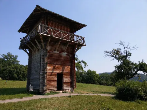
Stauferfalknerei Kloster Lorch
Zoo and aquarium · 1.0 km
Vorführungen Sommersaison: Mittwoch und Samstag: 15:00 Uhr Sonn- und Feiertag 11:00 Uhr und 15:00 Uhr In den Schulferien zusätzlich...
6 Klosterstraße, Lorch
Waldhäuser Hoflädle
Farm and orchard · 5.0 km
1 Herbstwiesenäcker, Lorch
Tu,Th 16:00-18:00; Sa 10:00-12:00 || "nach Vereinbarung"
Pferde- und Bauernhof Köngeter
Farm and orchard · 4.1 km
28 Pfahlbronner Straße, Alfdorf
Th-Fr 14:00-18:00

Museums and landmarks39


Kleinkastell Kleindeinbach
Monument and historic site · 4.7 km
Kleinkastell als Erhebung erkennbar

Hupertus-Hack-Gedenkstein
Monument and historic site · 4.9 km
Denkmal eines während des Zweiten Weltkriegs hier verunglückten Fliegerpiloten
Limes-Turm 12/08 - sichtbar
Monument and historic site · 3.2 km
Grundriss erkennbar
Obergermanisch-Raetischer Limes
Monument and historic site · 3.5 km
Römischer Limes (UNESCO-Welterbe)
27 more on the map.
Parks, trails and playgrounds11

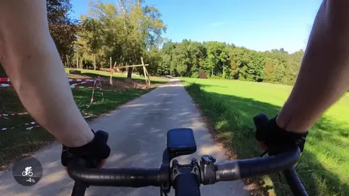
Waldspielplatz Eichenwasen
Playground · 3.4 km
Zufahrt uber Bergstraße. April bis September mit Genehmigung Rathaus möglich.
Marbachweg
08:00-20:00



Restaurants and cafes46
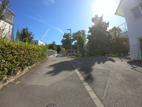
Helmuts Heimatbesen
Restaurant · Regional · 4.0 km
Sporadisch offen. Nächste geplante Öffnung wahrscheinlich April. Es wird aktuell ein neuer Mieter für das Lokal gesucht.
14 Lorcher Straße, Lorch
Jan 31-Feb 25: Mo-Tu off; We-Sa 17:00-21:00; Su 12:00-21:00

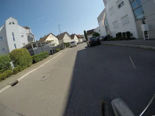
Asia Gourmet
Restaurant · Asian
40 Gaisgasse, Lorch
Tu-Sa 11:00-15:00,17:00-22:30; Su 12:00-21:30; PH 12:00-21:30
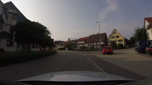
Gasthaus Rössle-Pfahlbronn
Restaurant · Regional · 4.6 km
25 Lorcher Straße, Alfdorf
We-Th 10:00-22:00; Fr-Sa 10:00-23:00; Su 10:00-21:00
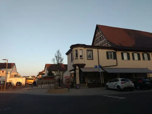
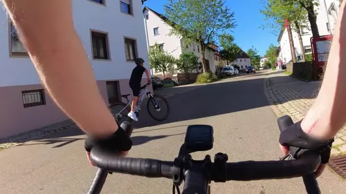
Los Amigos
Restaurant · Mexican · 4.3 km
2 Manfred-Wörner-Platz, Wäschenbeuren
Mo off; Tu 14:00-21:00; We-Su 11:00-21:00
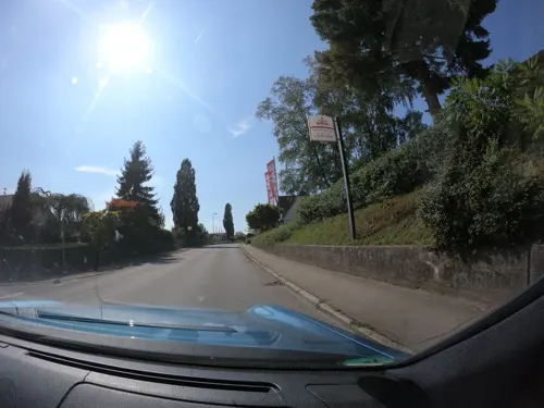
Olympia
Restaurant · Greek · 5.1 km
100 Hauptstraße, Alfdorf
Tu-Fr 11:30-14:00,17:00-22:00; Sa 17:00-22:00, Su 12:00-20:00
Gaststätte Schurwaldhöhe
Restaurant · German, Greek · 3.4 km
22 Kaiserstraße, Lorch
Mo-Th 16:00+, Sa 14:00-20:00, Su 10:00+; Fr,PH Off



Schmid Kuhn
Bakery
1 August-Wilhelm-Pfäffle-Straße, Lorch
Mo-Fr 06:00-18:00; Sa 06:00-17:00; Su 07:30-17:00
34 more on the map.
History
During the Roman Era, it served as a vital link in the Limes Germanicus. The monastery at Lorch was founded by Frederick I of Swabia in 1102.
From the History section of Lorch (Württemberg) on Wikipedia, under CC BY-SA 4.0.
Where to stay5
Churches and places of worship24
Evangelische Kirche Großdeinbach
Church · Protestant · 4.8 km
11 Kleindeinbacher Straße, Schwäbisch Gmünd
St. Johannes Evangelist
Church · Roman Catholic · 4.3 km
3 Pfarrer-Fiderer-Straße, Wäschenbeuren
Dorfkapelle Wäschenbeuren
Church · Roman Catholic · 4.4 km
13 Heuhofstraße, Wäschenbeuren
Kath. Kirchengemeinde Christus König
Church · Catholic · 5.1 km
36 Wetzgauer Straße, Schwäbisch Gmünd
Neuapostolische Kirche
Church · New Apostolic · 0.9 km
18/1 Maierhofstraße, Lorch
Shopping12
Tennisschule und HEAD Tennisshop Schmeiler
Shop · 4.7 km
4 Plüderhäuser Straße, Lorch
Gas and EV charging7
Schools, colleges and libraries13
Nebengebäude Gymnasium Friedrich II., Schäfersfeldschule
School
2 Auf dem Schäfersfeld, Lorch
Healthcare2
Map of Lorch
166 places. The map loads OpenStreetMap tiles when you open it.
Getting there and nearby towns
Manfred Rommel Airport Stuttgart (STR) is the nearest airport with scheduled flights listed in OpenStreetMap, 37 km away.
- Schwäbisch Gmünd 8 km east, about 8 min by car
- Welzheim 10 km northwest, about 10 min by car
- Schorndorf 12 km west, about 12 min by car
- Uhingen 13 km southwest, about 13 min by car
- Süßen 14 km south, about 14 min by car
- Rudersberg 15 km northwest, about 15 min by car
- Winnenden 23 km west, about 23 min by car
- Plochingen 22 km southwest, about 22 min by car
- Murrhardt 22 km northwest, about 22 min by car
- Wernau 23 km southwest, about 23 min by car
Drive times are estimates from straight-line distance, not routes.
Local news
Headlines from INDB.
Reviews, tips and questions
Loading what members have shared...
Sources and licences
- GeoNames (CC BY 4.0): population, coordinates, regions and time zone
- Mapillary (see each image): photos
- OpenStreetMap contributors (ODbL 1.0): places, airports, map data
- Wikidata (CC0 1.0): elevation, founding date, time zone, website, landmarks and historic places
- Wikimedia Commons (see each image): photos
- Wikipedia (CC BY-SA 4.0): overview and history text
Photo credits
- Lorch Württemberg 2016 Panorama, dealerofsalvation, CC BY-SA 4.0
- Stadtapotheke Lorch Wuertt, Flowneppets00, CC0
- Hauptstrasse 27 Lorch Wuertt, Flowneppets00, CC0
- Baederbrunnen Lorch Wuertt, Flowneppets00, CC0
- Oberamtsgebäude Lorch Wuertt, Flowneppets00, CC0
- Verlagshaus der Lorcher Zeitung, Flowneppets00, CC0
- Pfarrhof Lorch Wuertt, Flowneppets00, CC0
- Wachthaus Lorch Wuertt, Flowneppets00, CC0
- Lorch - panoramio, qwesy qwesy, CC BY 3.0
- Alter Pfarrhof Lorch Wuertt, Flowneppets00, CC0
- Gasthaus Hirsch Lorch Wuertt, Flowneppets00, CC0
- Kirchstraße 26-8 Lorch Württ, Flowneppets00, CC0
- Hohenstaufenstrasse 1 Lorch Wuertt, Flowneppets00, CC0
- Rems bei Lorch - panoramio, qwesy qwesy, CC BY 3.0
- 067 Klosterkirche Lorch West, Zinnmann, CC BY 4.0
- Kloster-Lorch-Lorcher-Chorbuecher-Lorcher-Graduale-4, FlorianManuel, CC BY-SA 4.0
- Lorch (W.) - Kloster Lorch - Klosterkirche - Blick ins Gewölbe der Vierung 3, Roman Eisele, CC BY-SA 4.0
- Lorch (W.) - Kloster Lorch - Klosterkirche - Blick ins Gewölbe der Vierung 1, Roman Eisele, CC BY-SA 4.0
- Lorch (W.) - Kloster Lorch - Klosterkirche - Blick ins Gewölbe der Vierung 2, Roman Eisele, CC BY-SA 4.0
- Lorch (W.) - Kloster Lorch - Klosterkirche - Gewölbe der Vierung senkrecht (1), Roman Eisele, CC BY-SA 4.0
- Lorch (W.) - Kloster Lorch - Klosterkirche - Gewölbe der Vierung senkrecht (2), Roman Eisele, CC BY-SA 4.0
- Gmuend Muenster von Suedwest, Beckstet at German Wikipedia, CC BY-SA 3.0
- Schloss Waescherburg-4 tok, Tobias Klaus, CC BY-SA 3.0
- Kastell Lorch Turmfundament, dealerofsalvation, CC BY-SA 4.0
- Modell Kleinkastell Kleindeinbach, Vexillum, CC BY-SA 3.0
- Kloster Lorch, dealerofsalvation, CC BY-SA 4.0
- Evangelische Kirche Großdeinbach, dealerofsalvation, CC BY-SA 3.0
- Lorch Schillerschule, dealerofsalvation, CC BY-SA 4.0
- Lorcher Baggerseen, Dealerofsalvation, CC BY-SA 3.0
- Stadtkirche Lorch, dealerofsalvation, CC BY-SA 3.0
- Wäschenbeuren - panoramio (1), qwesy qwesy, CC BY 3.0
- Gymnasium Friedrich II. Lorch, Lorch, Dealerofsalvation, CC BY-SA 4.0
- Rattenharz Kirche, dealerofsalvation, CC BY-SA 3.0
- Reinhold-Maier-Turm – Börtlingen II, Feurio!, CC BY-SA 4.0
- Kirche Lorch-Waldhausen, dealerofsalvation, CC BY-SA 3.0
- 1102 wurde das Kloster Lorch von dem Staufer Herzog Friedrich I. und seiner Familie gegründet. 05, Holger Uwe Schmitt, CC BY-SA 4.0
- Wäscherbeuren Schloss Wäscherburg Aerial, PaulT (Gunther Tschuch), CC BY-SA 4.0
- Ev Kirche Großdeinbach von West, Gmünder, CC BY-SA 4.0
- Mühlteich Götzental 202006 11, Shi Annan, CC BY-SA 4.0
- Schelmenklinge Götzental 202006, Shi Annan, CC BY-SA 4.0
- Street-level photo, ravrol, CC BY-SA 4.0
- Street-level photo, ravrol, CC BY-SA 4.0
- Street-level photo, mfa, CC BY-SA 4.0
- Street-level photo, JMap, CC BY-SA 4.0
- Street-level photo, pic_nick, CC BY-SA 4.0
- Street-level photo, ravrol, CC BY-SA 4.0
- Street-level photo, vst, CC BY-SA 4.0
- Street-level photo, pic_nick, CC BY-SA 4.0
- Street-level photo, ravrol, CC BY-SA 4.0
- Street-level photo, 5rmft, CC BY-SA 4.0
- Street-level photo, mfa, CC BY-SA 4.0
- Street-level photo, xallace, CC BY-SA 4.0
- Street-level photo, nvbwseifert, CC BY-SA 4.0
- Street-level photo, ravrol, CC BY-SA 4.0
- Street-level photo, nvbwseifert, CC BY-SA 4.0
- Street-level photo, ravrol, CC BY-SA 4.0
- Street-level photo, ravrol, CC BY-SA 4.0
- Street-level photo, 5rmft, CC BY-SA 4.0
- Street-level photo, JMap, CC BY-SA 4.0
- Street-level photo, ravrol, CC BY-SA 4.0
- Street-level photo, ravrol, CC BY-SA 4.0


Page built November 8, 2026. Spotted a mistake? Tell us or suggest a place.