


Why visit Feucht
Townapedia lists 44 museums and landmarks, 10 parks and trails, 40 places to eat, 6 places to stay and 4 attractions in and around town.
Highlights include Brückkanal, Brückkanal, Ludwig-Donau-Main-Kanal and Ludwig-Donau-Main-Kanal.
Weather in Feucht
Forecast from MET Norway (CC BY 4.0). Full forecast
About Feucht
Feucht (German pronunciation: [fɔʏçt] ) is a market town and municipality southeast of Nuremberg in the district of Nürnberger Land in Bavaria, Germany. The name "Feucht" is derived from the Old High German noun "viuhtje" - "fichta", which is the spruce tree (vernacularly Féichdn). As of 31 December 2019, Feucht had a population of 14,050. Hermann Oberth (1894–1989), one of the early fathers of space travel, lived for many years and died in Feucht.
From the Wikipedia article Feucht (this version), under CC BY-SA 4.0.
Things to do4


Brückkanal
Bridge · 2.7 km
Brückkanal über Gauchsbach, Ludwig-Donau-Main-Kanal


Museums and landmarks44


Gauchsbach-Leitgraben
Monument and historic site · 2.2 km
Leitgraben, Ludwig-Donau-Main-Kanal


32 more on the map.
Parks, trails and playgrounds10





Restaurants and cafes40
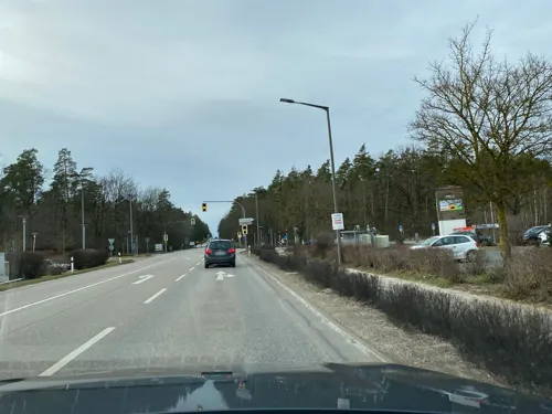
Der Beck
Cafe · German, Coffee Shop, Pastry · 3.1 km
1 Beethovenstraße
Mo, Tu, Th, Fr 06:00-18:00; We 06:00-14:00; Sa 06:00-13:00; Su 07:00-17:00
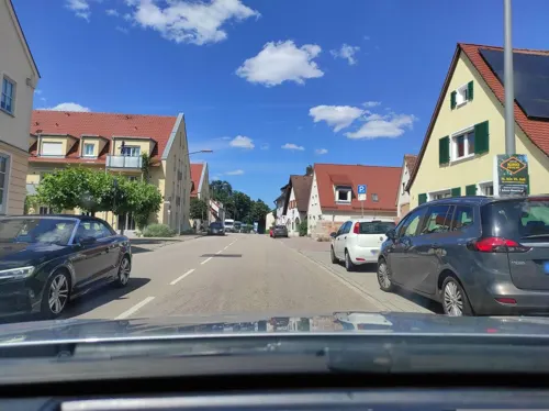
Il Pomodore
Restaurant · Italian
3 Marktplatz, Feucht
Mo-Fr 10:00-24:00; Sa 11:30-24:00; Su 11:30-23:00
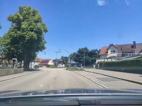

Ristorante Pizzeria da Roberto
Restaurant · Italian, Pizza
72 Hauptstraße, Feucht
Tu-Su 17:00-22:00; Mo off; PH off
Spiris Taverne
Restaurant · Greek · 0.8 km
2 Waldstraße, Feucht
Tu-Sa 17:00-24:00; Su 11:30-14:30,17:00-24:00
Sportpark im Moor bei Jana
Restaurant · Regional, Balkan · 2.7 km
10 Moorweg, Schwarzenbruck
Mo off; Tu-Fr 17:00-21:30; Sa 15:00-21:30; Su,PH 11:00-21:00
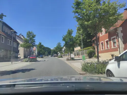

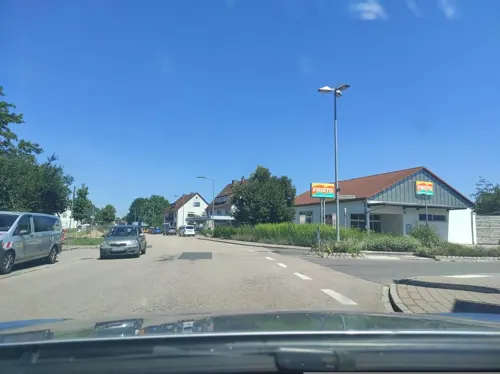
Der Beck
Cafe · German, Coffee Shop, Pastry · 0.6 km
Mo-Fr 05:30-19:00; Sa 05:30-18:00; Su 07:00-18:00
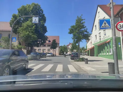
Eis Center
Cafe · Ice Cream
Italienisches Eis
23 Hauptstraße, Feucht
"Machen auf wenn wir Lust haben - also wenn das Wetter passt!"


28 more on the map.
History
Since the Middle Ages Feucht has been a centre for beekeeping and honey production referred to as Zeidlerei. Lebkuchen, the famous gingerbread of Nuremberg, is based on honey from Feucht. Feucht was also the location of the kaserne of the U.S. Army's 4th Squadron/2nd Armored Cavalry Regiment (Aviation), until its recall to Fort Lewis, Washington in 1992 during the drawdown of the USAREUR.
From the History section of Feucht on Wikipedia, under CC BY-SA 4.0.
Where to stay6
Churches and places of worship7
Shopping14
Gas and EV charging6
Schools, colleges and libraries5
Healthcare5
Allgemeinärztliche & internistische Gemeinschaftspraxis
Clinic and pharmacy · 3.1 km
1 Beethovenstraße, Schwarzenbruck
Map of Feucht
141 places. The map loads OpenStreetMap tiles when you open it.
Getting there and nearby towns
Albrecht Dürer Airport Nuremberg (NUE) is the nearest airport with scheduled flights listed in OpenStreetMap, 17 km away.
- Wendelstein 5 km southwest, about 5 min by car
- Röthenbach an der Pegnitz 12 km north, about 12 min by car
- Nuremberg 13 km northwest, about 13 min by car
- Schwabach 15 km west, about 15 min by car
- Lauf an der Pegnitz 16 km north, about 16 min by car
- Roth 17 km southwest, about 17 min by car
- Fürth 20 km northwest, about 20 min by car
- Oberasbach 19 km west, about 19 min by car
- Zirndorf 20 km west, about 20 min by car
- Neumarkt in der Oberpfalz 21 km southeast, about 21 min by car
Drive times are estimates from straight-line distance, not routes.
Local news
Headlines from INDB.
Reviews, tips and questions
Loading what members have shared...
Sources and licences
- GeoNames (CC BY 4.0): population, coordinates, regions and time zone
- Mapillary (see each image): photos
- OpenStreetMap contributors (ODbL 1.0): places, airports, map data
- Wikidata (CC0 1.0): elevation, founding date, time zone, website, landmarks and historic places
- Wikimedia Commons (see each image): photos
- Wikipedia (CC BY-SA 4.0): overview and history text
Photo credits
- Tucherschloss in der Hauptstraße Feucht 3, Aarp65, CC BY-SA 3.0
- Jakobskirche (Feucht) 02, Derzno, CC BY 3.0
- Raumfahrtmuseum Feucht 01, Derzno, CC BY 3.0
- Feucht Ort 01, Derzno, CC BY 3.0
- Feucht (22670398236), Sergei Gussev, CC BY 2.0
- Jakobskirche (Feucht) 06, Derzno, CC BY 3.0
- Feucht Ort 05, Derzno, CC BY 3.0
- Feucht Ort 04, Derzno, CC BY 3.0
- Feucht Zeidlerschloss, Derzno, CC BY-SA 3.0
- Feucht Ort 06, Derzno, CC BY 3.0
- Feucht (22670410636), Sergei Gussev, CC BY 2.0
- Feucht Ort 07, Derzno, CC BY 3.0
- Feucht Jakobskirche, Derzno, CC BY-SA 3.0
- Jakobskirche (Feucht) 03, Derzno, CC BY 3.0
- Feucht Ort 08, Derzno, CC BY 3.0
- Feucht Ort 09, Derzno, CC BY 3.0
- Feucht Hutzlerhaus, Derzno, CC BY-SA 3.0
- Feucht Ort 02, Derzno, CC BY 3.0
- Feucht Ort 10, Derzno, CC BY 3.0
- Feucht Ort 11, Derzno, CC BY 3.0
- Jakobskirche (Feucht) 04, Derzno, CC BY 3.0
- Raumfahrtmuseum Feucht 03, Derzno, CC BY 3.0
- Raumfahrtmuseum Feucht 04, Derzno, CC BY 3.0
- Herz Jesu Kirche Feucht 02, Derzno, CC BY 3.0
- Tucherschloss (Feucht) (5), Derzno, CC BY-SA 3.0
- Raumfahrtmuseum Feucht 02, Derzno, CC BY 3.0
- Hutzlerhaus Feucht 02, Derzno, CC BY 3.0
- Hutzlerhaus Feucht 01, Derzno, CC BY 3.0
- Herz Jesu Kirche Feucht 03, Derzno, CC BY 3.0
- Tucherschloss (Feucht) (6), Derzno, CC BY 3.0
- Raumfahrtmuseum Feucht 05, Derzno, CC BY 3.0
- 2017 01 05 LDMK Schwarzach Brückkanal 01, Derzno, CC BY-SA 4.0
- Bruckkanal über den Gauchsbach 04, Derzno, CC BY 3.0
- LMDK Schleuse 59 01, Derzno, CC BY 3.0
- D-5-76-151-146 02, Derzno, CC BY 3.0
- LMDK Schleuse 60 05, Derzno, CC BY 3.0
- LMDK Schleuse 57 02, Derzno, CC BY 3.0
- LMDK Schleuse 55 05, Derzno, CC BY 3.0
- 2018 Feucht Hutzlerhaus 01, Derzno, CC BY-SA 4.0
- Schwarzenbruck 22, Derzno, CC BY 3.0
- Steinkreuz Feucht Lechle 03, Derzno, CC BY 3.0
- Steinkreuz 01, Derzno, CC BY 3.0
- 2018 LDMK Gauchsbachleitgraben 07, Derzno, CC BY-SA 4.0
- 2018 Dreibrüderberg Hochbehälter B 01, Derzno, CC BY-SA 4.0
- Feucht Ort 03, Derzno, CC BY 3.0
- 2018 Feucht Hauptstraße 11 02, Derzno, CC BY-SA 4.0
- D-5-76-151-136 02, Derzno, CC BY 3.0
- Hutzlerhaus (3), Derzno, CC BY 3.0
- Petz'sche Schloss 05, Derzno, CC BY 3.0
- Schwarzachklamm 29, Derzno, CC BY 3.0
- 2015 Schwarzenbrucker Moor 04, Derzno, CC BY-SA 3.0
- Marktplatz und Cafe in Schwarzenbruck, Leon HB, CC BY-SA 4.0
- Herz Jesu Kirche Feucht 05, Derzno, CC BY 3.0
- Schwarzenbruck 23, Derzno, CC BY 3.0
- Schwarzenbruck 26, Derzno, CC BY 3.0
- Street-level photo, HAmapi, CC BY-SA 4.0
- Street-level photo, HAmapi, CC BY-SA 4.0
- Street-level photo, HAmapi, CC BY-SA 4.0
- Street-level photo, derzornigemarkus, CC BY-SA 4.0
- Street-level photo, HAmapi, CC BY-SA 4.0
- Street-level photo, HAmapi, CC BY-SA 4.0
- Street-level photo, HAmapi, CC BY-SA 4.0
- Street-level photo, HAmapi, CC BY-SA 4.0
- Street-level photo, bigbug21, CC BY-SA 4.0
- Street-level photo, bigbug21, CC BY-SA 4.0
- Street-level photo, HAmapi, CC BY-SA 4.0
- Street-level photo, HAmapi, CC BY-SA 4.0
- Street-level photo, HAmapi, CC BY-SA 4.0
- Street-level photo, ottor, CC BY-SA 4.0
- Street-level photo, HAmapi, CC BY-SA 4.0
- Street-level photo, HAmapi, CC BY-SA 4.0
- Street-level photo, HAmapi, CC BY-SA 4.0
- Street-level photo, ottor, CC BY-SA 4.0
- Street-level photo, stefanro74, CC BY-SA 4.0
- Street-level photo, HAmapi, CC BY-SA 4.0
- Street-level photo, HAmapi, CC BY-SA 4.0
- Street-level photo, HAmapi, CC BY-SA 4.0
- Street-level photo, HAmapi, CC BY-SA 4.0
- Street-level photo, HeiKue, CC BY-SA 4.0
- Street-level photo, mike409, CC BY-SA 4.0
- Street-level photo, derzornigemarkus, CC BY-SA 4.0
- Street-level photo, mike409, CC BY-SA 4.0
- Street-level photo, derzornigemarkus, CC BY-SA 4.0
- Street-level photo, HAmapi, CC BY-SA 4.0
- Street-level photo, bigbug21, CC BY-SA 4.0
- Street-level photo, bigbug21, CC BY-SA 4.0


Page built November 8, 2026. Spotted a mistake? Tell us or suggest a place.