


Why visit Roth
Townapedia lists 47 museums and landmarks, 32 parks and trails, 103 places to eat, 15 places to stay and 15 attractions in and around town.
Highlights include Kulturfabrik Roth, Eichelberg, Historischer Eisenhammer and Kitzelkreuz.
Weather in Roth
Forecast from MET Norway (CC BY 4.0). Full forecast
About Roth
Roth (German pronunciation: [ʁoːt] ; formerly Roth bei Nürnberg) is a town in Bavaria, Germany, the capital of the Roth District. It is located about 25 kilometres (16 miles) south of Nuremberg.
From the Wikipedia article Roth, Bavaria (this version), under CC BY-SA 4.0.
Travel tips from other travellers: Roth on Wikivoyage (CC BY-SA 4.0).
Things to do15

Kulturfabrik Roth
Cinema and theater
7 Stieberstraße, Roth
Tu,We,Th 09:00-15:00; Fr 09:00-12:00; Mo,Sa,Su,PH off


3 more on the map.
Museums and landmarks47
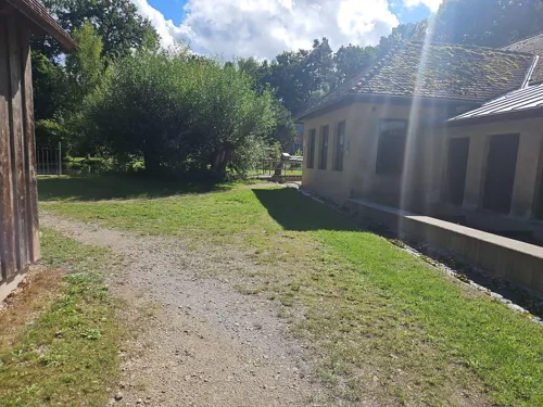
Historischer Eisenhammer
Museum · 4.3 km
Funktionstüchtiges Hammerwerk mit Luft-, Feder- und Fallhämmern
3 Eisenhammer, Roth
Mar-Jun Sa,Su,PH 13:00-17:00; Apr-Oct: We-Su,PH 13:00-17:00;...


35 more on the map.
Parks, trails and playgrounds32




Kinderspielplatz Büchenbacher Weg
Playground
Kinderspielplatz und Bolzplatz
08:00-20:00
Kinderspielplatz Hofstetten Maschinenhallen
Playground · 3.5 km
Spielplatz/Bolzplatz
08:00-20:00

20 more on the map.
Restaurants and cafes103

Eichelburger Hof
Restaurant · 6.3 km
2 Eichelburger Hauptstraße, Roth
Tu-Sa 11:00-21:00; Su 10:00-21:00
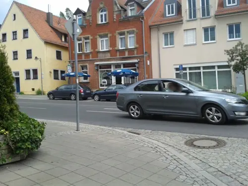
Gartenlaube
Restaurant · Franconian
Bis etwa Ende 2023 "Landgasthof Kraft"
22 Münchener Straße, Roth
Tu-Su 11:00-23:00
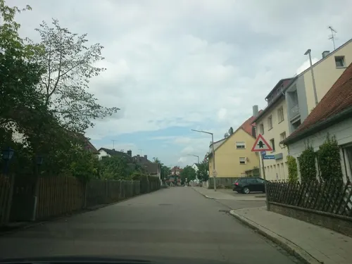
Aeropoli
Restaurant · Greek · 0.7 km
41 Hilpoltsteiner Straße, Roth
Mo off; Tu-Su,PH 11:00-14:00; 17:00-22:30

Bäcker Schmidt
Cafe · 1.0 km
Bäckerei, Café und Restaurant (ab 17 Uhr mit Bedienung am Platz)
4 Ostring, Roth
Mo-Th 06:00-22:00, Fr,Sa 06:00-23:00, Su 07:00-22:00
Bürger Stub'n
Restaurant · Asian, Regional, German · 7.5 km
2 Rathausplatz, Schwanstetten - Schwand
Tu-Sa 11:30-14:30, 17:00-22:00; Su 11:30-20:00
Da Gianni (Pizza)
Restaurant · Croatian, German · 4.1 km
30 Willi-Memmert-Straße, Büchenbach
Tu-Fr 11:00-14:00;17:00-21:15; Sa 11:30-14:00;17:00-21:15, Su 17:00-21:15
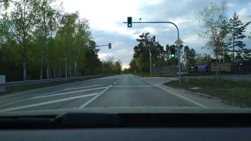
Der Beck
Cafe · German, Coffee Shop, Pastry · 8.1 km
1a Berliner Straße, Rednitzhembach
Mo-Fr 05:30-19:00; Sa 06:00-18:00; Su,PH 07:00-17:00
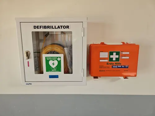
Der kleine Italiener
Restaurant · Italian, German · 3.0 km
2 Rothauracher Straße, Büchenbach
Mo-Fr 11:00-14:00; 16:30-21:00; Sa-Su 16:30-21:00
Gasthaus Heyder
Restaurant · German · 3.3 km
20 Rother Straße, Büchenbach
Th-Tu 10:00-14:00, 17:00-22:00
Gaststätte Waldsee
Restaurant · 6.8 km
Regionale Küche
23 Badstraße, Roth
Tu 14:00-22:00+; Fr-Su 12:00-22:00+
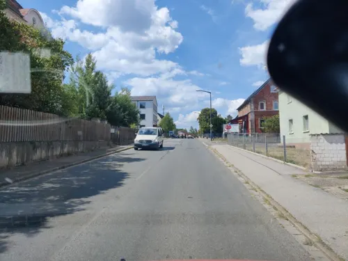


Leonardo
Restaurant · Steak House · 5.1 km
33 Eckersmühlener Hauptstraße, Roth
Mo, Tu off; We-Sa 17:00+; Su 11:30+
91 more on the map.
History
The town was first mentioned in documents in the year 1060, but settlements at its location date back much further. During the Middle Ages the town was given the right to grant asylum within the city walls. Later this tradition attracted Huguenot refugees who had to flee France because of religious persecution. They brought with them knowledge about the making of wires and founded an industry in Roth which exists until today. It plays host to a yearly Jazz & Blues festival and the Datev Challenge Roth triathlon race.
From the History section of Roth, Bavaria on Wikipedia, under CC BY-SA 4.0.
Where to stay15
Churches and places of worship25
Shopping28
Gas and EV charging15
Schools, colleges and libraries18
Healthcare10
Psychiatrische Institutsambulanz und Tagesklinik in Roth
Hospital · 1.7 km
12a Weinbergweg, Roth
Map of Roth
250 places. The map loads OpenStreetMap tiles when you open it.
Getting there and nearby towns
Albrecht Dürer Airport Nuremberg (NUE) is the nearest airport with scheduled flights listed in OpenStreetMap, 28 km away.
- Schwabach 10 km northwest, about 10 min by car
- Wendelstein 12 km north, about 12 min by car
- Nuremberg 23 km north, about 23 min by car
- Zirndorf 24 km northwest, about 24 min by car
- Fürth 26 km north, about 26 min by car
- Weißenburg in Bayern 26 km south, about 26 min by car
- Röthenbach an der Pegnitz 28 km north, about 28 min by car
- Treuchtlingen 35 km south, about 35 min by car
- Erlangen 39 km north, about 39 min by car
- Ingolstadt 59 km southeast, about 59 min by car
Drive times are estimates from straight-line distance, not routes.
Local news
Headlines from INDB.
Reviews, tips and questions
Loading what members have shared...
Sources and licences
- GeoNames (CC BY 4.0): population, coordinates, regions and time zone
- Mapillary (see each image): photos
- OpenStreetMap contributors (ODbL 1.0): places, airports, map data
- Wikidata (CC0 1.0): elevation, founding date, time zone, website
- Wikimedia Commons (see each image): photos
- Wikipedia (CC BY-SA 4.0): overview and history text
Photo credits
- Roth (Mittelfranken) Marktplatz 2005, GZoST, Public domain
- Roth bei Nürnberg - Hauptstraße 50 - 01, Howwi, CC BY-SA 3.0
- Roth bei Nürnberg - Hauptstraße 32 - 01, Howwi, CC BY-SA 3.0
- Roth bei Nürnberg - Hauptstraße 36 - 01, Howwi, CC BY-SA 3.0
- Roth bei Nürnberg - Hauptstraße 39 - 02, Howwi, CC BY-SA 3.0
- Roth bei Nürnberg - Hauptstraße 45 - 02, Howwi, CC BY-SA 3.0
- Roth bei Nürnberg - Hauptstraße 43 - 02, Howwi, CC BY-SA 3.0
- Roth bei Nürnberg - Hauptstraße 43 - 01, Howwi, CC BY-SA 3.0
- Roth bei Nürnberg - Hauptstraße 43 - Detail 01, Howwi, CC BY-SA 3.0
- Roth bei Nürnberg - Hauptstraße 48 - 01, Howwi, CC BY-SA 3.0
- Roth bei Nürnberg - Hauptstraße 43 - Detail 03, Howwi, CC BY-SA 3.0
- Roth bei Nürnberg - Hauptstraße 43 - Detail 02, Howwi, CC BY-SA 3.0
- Roth bei Nürnberg - Hauptstraße 43 - Detail 04, Howwi, CC BY-SA 3.0
- Roth bei Nürnberg - Hauptstraße 45 - 01, Howwi, CC BY-SA 3.0
- Roth bei Nürnberg - Hauptstraße 39 - Detail 01, Howwi, CC BY-SA 3.0
- Roth bei Nürnberg - Hauptstraße 39 - Detail 02, Howwi, CC BY-SA 3.0
- Roth bei Nürnberg - Hauptstraße 48 - Detail 02, Howwi, CC BY-SA 3.0
- Roth bei Nürnberg - Hauptstraße 48 - Detail 01, Howwi, CC BY-SA 3.0
- Roth Main Square (27265375953), Ștefan Jurcă from Munich, Germany, CC BY 2.0
- Roth bei Nürnberg - Hauptstraße 43 - 03, Howwi, CC BY-SA 3.0
- Roth bei Nürnberg (27239153683), Ștefan Jurcă from Munich, Germany, CC BY 2.0
- Roth bei Nürnberg - Hauptstraße 45 - Detail 01, Howwi, CC BY-SA 3.0
- Roth bei Nürnberg - Hauptstraße 39 - 01, Howwi, CC BY-SA 3.0
- Roth bei Nürnberg - Hauptstraße 30 - 02, Howwi, CC BY-SA 3.0
- Roth bei Nürnberg - Hauptstraße 45 - Detail 02, Howwi, CC BY-SA 3.0
- Roth bei Nürnberg - Hauptstraße 45 - Detail 03, Howwi, CC BY-SA 3.0
- Roth bei Nürnberg - Hauptstraße 42 - 01, Howwi, CC BY-SA 3.0
- Roth bei Nürnberg - Hauptstraße 30 - 01, Howwi, CC BY-SA 3.0
- Roth bei Nürnberg - Hauptstraße 40 - 01, Howwi, CC BY-SA 3.0
- Roth bei Nürnberg - Hauptstraße 40 - 03, Howwi, CC BY-SA 3.0
- Roth bei Nürnberg - Hauptstraße 40 - 02, Howwi, CC BY-SA 3.0
- Roth, Häuserzeile in der Hauptstraße, Dguendel, CC BY 3.0
- Roth bei Nürnberg - Hauptstraße 26 - 01, Howwi, CC BY-SA 3.0
- Roth bei Nürnberg - Hauptstraße 56 - 01, Howwi, CC BY-SA 3.0
- Roth bei Nürnberg - Hauptstraße 56, 58 - 01, Howwi, CC BY-SA 3.0
- Roth bei Nürnberg - Hauptstraße 20 - 02, Howwi, CC BY-SA 3.0
- Roth, Hauptstraße 40 (2), JoeGue, CC BY-SA 4.0
- Roth bei Nürnberg - Hauptstraße 49, 51 - 01, Howwi, CC BY-SA 3.0
- Friedhofskirche zum Heiligen Kreuz Roth, Aarp65, CC BY-SA 3.0
- Gymnasium Roth Eingang, GR-Verwaltung, CC BY-SA 4.0
- Ev kirche Rednitzhembach 20110705-01, Hans A. Rosbach, CC BY-SA 3.0
- Dreifaltigkeitskirche - Eckersmühlen 008, DALIBRI, CC BY-SA 4.0
- Pfaffenhofen Heidenbergstraße 13 Pfarrkirche St Ottilia (MGK03840), Markus G. Klötzer, CC BY-SA 3.0
- Steinkreuz (D-5-76-143-161) 01, Derzno, CC BY 3.0
- Roth bei Nürnberg - Hauptstraße 6 - 01, Howwi, CC BY-SA 3.0
- St Maria - Wallesau 040, DALIBRI, CC BY-SA 4.0
- St. Willibald in Büchenbach-1, WMguegafue, CC BY-SA 4.0
- Steinkreuz D-5-76-132-18 05, Derzno, CC BY 3.0
- 2020 Schwand Pfarrkirche St. Johannes der Täufer 01, Derzno, CC BY-SA 4.0
- KuFa 2017, Foreign Species, CC BY-SA 4.0
- 2020 Steinkreuz nördlich von Pfaffenhofen 04, Derzno, CC BY-SA 4.0
- Raming-Kreuz bei Schwand 06, Derzno, CC BY 3.0
- Steinkreuz D-5-76-143-88 02, Derzno, CC BY 3.0
- Steinkreuz D-5-76-143-151 06, Derzno, CC BY 3.0
- Steinkreuz D-5-76-143-110 03, Derzno, CC BY 3.0
- Kreuzstein D-5-76-143-120 03, Derzno, CC BY 3.0
- Steinkreuz D-5-76-143-131 04, Derzno, CC BY 3.0
- Kreuzstein D-5-76-143-121 05, Derzno, CC BY 3.0
- Steinkreuz D-5-76-143-207 05, Derzno, CC BY 3.0
- Baggersee - unter Naturschutz - panoramio, Siegmar S., CC BY-SA 3.0
- Rothsee 2014 06 02, Derzno, CC BY-SA 3.0
- Roth bei Nürnberg - Ev. Stadtkirche - 01, Howwi, CC BY-SA 3.0
- St Maria - Rittersbach RH 004, DALIBRI, CC BY-SA 4.0
- Street-level photo, bigbug21, CC BY-SA 4.0
- Street-level photo, bernd_niemann, CC BY-SA 4.0
- Street-level photo, msdess, CC BY-SA 4.0
- Street-level photo, bigbug21, CC BY-SA 4.0
- Street-level photo, kopra, CC BY-SA 4.0
- Street-level photo, kopra, CC BY-SA 4.0
- Street-level photo, bigbug21, CC BY-SA 4.0
- Street-level photo, mike409, CC BY-SA 4.0
- Street-level photo, wegavision, CC BY-SA 4.0
- Street-level photo, msdess, CC BY-SA 4.0
- Street-level photo, santon, CC BY-SA 4.0
- Street-level photo, bigbug21, CC BY-SA 4.0
- Street-level photo, chri_som, CC BY-SA 4.0
- Street-level photo, derzornigemarkus, CC BY-SA 4.0


Page built November 8, 2026. Spotted a mistake? Tell us or suggest a place.