


Why visit Jessen
Townapedia lists 63 museums and landmarks, 27 parks and trails, 58 places to eat, 21 places to stay and 5 attractions in and around town.
Highlights include Alpakaburg Molino, Wasserschloss Hemsendorf, Amtshaus and Crossgolfplatz Elster.
Weather in Jessen
Forecast from MET Norway (CC BY 4.0). Full forecast
About Jessen
Jessen (German pronunciation: [ˈjɛsn̩] ) is a municipality on the Black Elster river and lies in the eastern part of Saxony-Anhalt in the district of Wittenberg.
From the Wikipedia article Jessen (Elster) (this version), under CC BY-SA 4.0.
Things to do5




Museums and landmarks63




Gutshaus Zellendorf
Monument and historic site · 13.6 km
31 Zellendorf, Niedergörsdorf
Otts Blumenpavillon
Monument and historic site · 9.2 km
49 Torgauer Straße, Annaburg


51 more on the map.
Parks, trails and playgrounds27








15 more on the map.
Restaurants and cafes58
Die Eismanufaktur
Ice cream · 12.4 km
Unsere Eismanufaktur bietet ein Erlebniskonsum für alle Sinne. Frisch gemolkene Milch von unserem Bauernhof wird verfeinert und...
20, Jessen
Tu-Fr 12:00-18:00; Sa,Su,PH 11:00-18:00
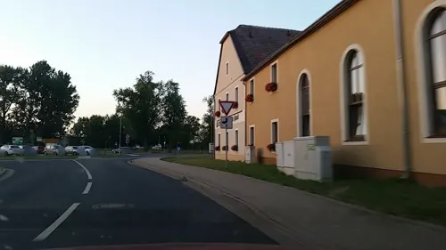
Döbelt's Hotel Schützenhaus Jessen
Restaurant · Regional · 1.4 km
6 Annaburger Straße, Jessen (Elster)
Su-Fr 11:00-23:00; Sa 17:00-24:00

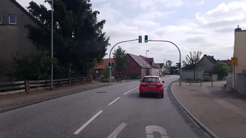
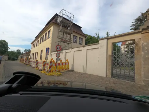
Schlosscafé Eberhardine
Cafe · Regional, Cake · 13.3 km
1 Schloßbezirk, Pretzsch (Elbe)
Tu-Sa 11:00-21:00; Su 11:00-17:00; PH off



Gasthaus Zum Schiffchen
Restaurant · German · 14.5 km
7 Gallin, Zahna-Elster
Mo,Tu,Fr 11:00-22:00; Sa 10:00-23:00; Su 10:00-22:00; We,Th off
46 more on the map.
History
The first documentary evidence of Jessen's existence dates to 1217. On the night of 20 to 21 September 1729, much of the town was destroyed in a fire. After belonging to Saxony for centuries, Jessen became Prussian in 1815.
From 1815 to 1844, Jessen was part of the Prussian Province of Saxony and from 1944 to 1945 of the Province of Halle-Merseburg.
In 1945, it became part of the Province (since 1947, State) of Saxony-Anhalt. In 1952, owing to East German administrative reforms, Jessen became a district capital in Bezirk Cottbus. In 1990, Jessen once again became part of the newly-refounded state of Saxony-Anhalt. In 1992 came the amalgamation of the communities of Grabo, Gorsdorf-Hemsendorf, Lindwerder and Großkorga, and in 1993, Schweinitz, Gerbisbach, Klossa, Schöneicho, Steinsdorf and Dixförda. With the district reform in 1994, Jessen became part of Wittenberg district, as well as having a further three communities melded with it, namely Battin, Düßnitz and Kleindröben-Mauken. In 1999 came further amalgamations: Arnsdorf, Leipa and Ruhlsdorf mit Rehain. On 1 March 2004 came a further 12, among them Seyda, Holzdorf and Linda (Elster). Some of these formerly independent communities themselves each consisted of more than one centre, and so Jessen now has a total of 47 Stadtteile (constituent communities).
From the History section of Jessen (Elster) on Wikipedia, under CC BY-SA 4.0.
Where to stay21
Gästepension Elsterland am Sport- und Freizeitpark
Motel and hotel · 10.8 km
5 Betonwerkstraße, Zahna-Elster
Churches and places of worship48
Dorfkirche Battin
Church · Protestant · 4.6 km
21a Battiner Dorfstraße, Jessen (Elster)
Dorfkirche Grabo
Church · Protestant · 2.7 km
33 Graboer Dorfstraße, Jessen (Elster)
Dorfkirche Steinsdorf
Church · Protestant · 8.7 km
27a Steinsdorfer Dorfstraße, Jessen (Elster)
Dorfkirche Zellendorf
Church · Protestant · 13.5 km
Zellendorf, Niedergörsdorf
Kirche Schützberg
Church · Protestant · 9.0 km
1 Schützberger Hauptstraße, Jessen (Elster)
Shopping17
Gas and EV charging10
Sprint Tankstelle Jessen
Gas station · 1.0 km
15 Rehainer Straße, Jessen (Elster)
Schools, colleges and libraries12
Healthcare4
Map of Jessen
250 places. The map loads OpenStreetMap tiles when you open it.
Getting there and nearby towns
Verkehrslandeplatz Riesa-Göhlis (IES) is the nearest airport with scheduled flights listed in OpenStreetMap, 62 km away.
- Jüterbog 24 km north, about 24 min by car
- Torgau 26 km south, about 26 min by car
- Luckenwalde 36 km northeast, about 36 min by car
- Bad Liebenwerda 43 km southeast, about 43 min by car
- Doberlug-Kirchhain 46 km southeast, about 46 min by car
- Bad Belzig 46 km northwest, about 46 min by car
- Wolfen 50 km west, about 50 min by car
- Wurzen 49 km south, about 49 min by car
- Beelitz 49 km north, about 49 min by car
- Luckau 52 km east, about 52 min by car
Drive times are estimates from straight-line distance, not routes.
Local news
Headlines from INDB.
Reviews, tips and questions
Loading what members have shared...
Sources and licences
- GeoNames (CC BY 4.0): population, coordinates, regions and time zone
- Mapillary (see each image): photos
- OpenStreetMap contributors (ODbL 1.0): places, airports, map data
- Wikidata (CC0 1.0): elevation, founding date, time zone, website
- Wikimedia Commons (see each image): photos
- Wikipedia (CC BY-SA 4.0): overview and history text
Photo credits
- Jessen church, Doris Antony , Berlin, CC BY-SA 3.0
- 28767-Jessen-Elster-1955-Blick auf Jessen-Brück & Sohn Kunstverlag, Brück & Sohn Kunstverlag Meißen, CC BY-SA 3.0
- 28768-Jessen-Elster-1955-Kirche-Brück & Sohn Kunstverlag, Brück & Sohn Kunstverlag Meißen, CC BY-SA 3.0
- 28770-Jessen-Elster-1955-Ortsansicht-Brück & Sohn Kunstverlag, Brück & Sohn Kunstverlag Meißen, CC BY-SA 3.0
- 28775-Jessen-Elster-1955-Kirche-Brück & Sohn Kunstverlag, Brück & Sohn Kunstverlag Meißen, CC BY-SA 3.0
- Jessen (Elster) Kirchplatz 7 Geburtshaus Karl Lamprecht (2), Assenmacher, CC BY-SA 4.0
- Jessen (Elster) Kirchplatz 7 Geburtshaus Karl Lamprecht (3), Assenmacher, CC BY-SA 4.0
- Jessen Wegkreuz, Kirchenfan, CC0
- Jessen Holzdorf, Kirchenfan, CC0
- Jessen (Elster) Kirchplatz 7 Geburtshaus Karl Lamprecht (1), Assenmacher, CC BY-SA 4.0
- Jessen Geist 1, Kirchenfan, CC0
- Jessen Bildstock, Kirchenfan, CC0
- Jessen WB, Kirchenfan, CC0
- Schloss Lichtenburg01, Malabon, CC BY-SA 3.0
- Samendarre, Peal1903, CC BY 3.0
- Schloss Hemsendorf 06, J.-H. Janßen, CC BY-SA 4.0
- Kirche Schützberg, Peal1903, CC BY-SA 3.0
- Kirche Bethau, Peal1903, CC BY-SA 3.0
- Amtshaus Annaburg, Daniel A. Enke. EisbrecherRecords at de.wikipedia, CC BY-SA 3.0 de
- St Marien Kirche Schweinitz, Daniel A. Enke, CC BY-SA 3.0 de
- Gorsdorf NSG Untere Schwarze Elster 06, J.-H. Janßen, CC BY-SA 4.0
- Grabo1, Peal1903, CC BY 3.0
- Gentha Kirche, Peal1903, CC BY-SA 4.0
- Battin1, Peal1903, CC BY 3.0
- Düßnitz, Peal1903, CC BY 3.0
- Dorfkirche Niedergörsdorf-Zellendorf Südostansicht, Assenmacher, CC BY-SA 4.0
- PriesitzKirche1, Jwaller, CC BY-SA 4.0
- Kirche Dietrichsdorf, Peal1903, CC BY-SA 4.0
- Dorfstraße 31 Zellendorf Niedergörsdorf, Clemensfranz, CC BY-SA 3.0
- SteinsdorfKirche, Global Fish, CC BY-SA 4.0
- Burg klöden3, Z thomas, CC BY-SA 3.0
- Gutshaus Zellendorf Frontansicht, Assenmacher, CC BY-SA 4.0
- Naturschutzgebiet Alte Elster und Rohrbornwiesen 2, Peal1903, CC BY-SA 3.0
- Rotbuchen Glücksburger Heide, Daniel A. Enke, CC BY-SA 3.0 de
- Dorfkirche Niedergörsdorf-Zellendorf Westturm Südwestansicht, Assenmacher, CC BY-SA 4.0
- Heimateiche, Daniel A. Enke, CC BY-SA 3.0 de
- Prettin (Annaburg) Schloss Lichtenburg von Südwesten (Foto Norbert Kaiser), Norbert Kaiser, CC BY-SA 4.0
- Dorfkirche Niedergörsdorf-Zellendorf Südansicht, Assenmacher, CC BY-SA 4.0
- THW Pumpensetup (8998041029), Marcus Meissner from Nuernberg, Germany, CC BY 2.0
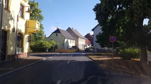
- Street-level photo, tian, CC BY-SA 4.0
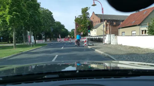
- Street-level photo, saschahaberkorn, CC BY-SA 4.0
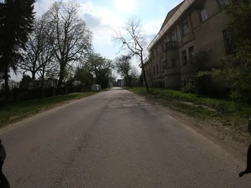
- Street-level photo, saschahaberkorn, CC BY-SA 4.0
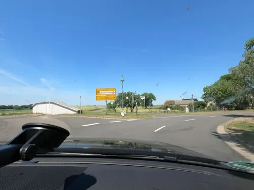
- Street-level photo, fdmap, CC BY-SA 4.0
- Street-level photo, dsmm, CC BY-SA 4.0
- Street-level photo, dsmm, CC BY-SA 4.0
- Street-level photo, dsmm, CC BY-SA 4.0
- Street-level photo, dsmm, CC BY-SA 4.0
- Street-level photo, dsmm, CC BY-SA 4.0
- Street-level photo, dsmm, CC BY-SA 4.0
- Street-level photo, dsmm, CC BY-SA 4.0
- Street-level photo, tian, CC BY-SA 4.0
- Street-level photo, jenki, CC BY-SA 4.0
- Street-level photo, dsmm, CC BY-SA 4.0
- Street-level photo, dsmm, CC BY-SA 4.0
- Street-level photo, jenki, CC BY-SA 4.0
- Street-level photo, surveyor99, CC BY-SA 4.0
- Street-level photo, rausk, CC BY-SA 4.0
- Street-level photo, dsmm, CC BY-SA 4.0
- Street-level photo, dsmm, CC BY-SA 4.0
- Street-level photo, dsmm, CC BY-SA 4.0
- Street-level photo, dsmm, CC BY-SA 4.0
- Street-level photo, dsmm, CC BY-SA 4.0
- Street-level photo, rausk, CC BY-SA 4.0
- Street-level photo, tobiaso, CC BY-SA 4.0
- Street-level photo, dsmm, CC BY-SA 4.0
- Street-level photo, tobiaso, CC BY-SA 4.0


Page built November 8, 2026. Spotted a mistake? Tell us or suggest a place.