


Hilter, Germany
Hilter am Teutoburger Wald
Hilter is a town of 10,173 people in Lower Saxony, Germany.
Why visit Hilter
Townapedia lists 22 museums and landmarks, 24 parks and trails, 80 places to eat, 31 places to stay and 38 attractions in and around town.
Highlights include Ascher Egge, Borgloher Egge, Heimatmuseum and Heimatmuseum Bad Laer.
Weather in Hilter
Forecast from MET Norway (CC BY 4.0). Full forecast
About Hilter
Hilter am Teutoburger Wald (German pronunciation: [ˈhɪltɐ ʔam ˈtɔʏtoˌbʊʁɡɐ ˈvalt], lit. 'Hilter on the Teutoburg Forest') is a municipality in the district Osnabrück, Lower Saxony, Germany, in the hills of the Teutoburg Forest. As of 2020 it has a population of 10,429, and covers an area of 52.61 km2. Its highest elevation is the Hohnangel, 262 metres above sea level.
From the Wikipedia article Hilter (this version), under CC BY-SA 4.0.
Things to do38




26 more on the map.
Museums and landmarks22
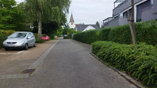
Heimatmuseum
Museum · 3.3 km
Hier wird seit 1944 das Wissen über Rothenfelde, Gradierwerke, Dornenstein und Salze vermittelt.
10 Wellengartenstraße, Bad Rothenfelde
Tu 16:00-18:00; Th 16:00-18:00


Neues Gradierwerk
Monument and historic site · 3.4 km
Gradierwerke wurden ursprünglich als Teil von Salzwerken zur Salzgewinnung eingesetzt. Heutzutage werden sie in Deutschland oft zu...
Kurpark, Bad Rothenfelde


Großsteingrab Hilter
Monument and historic site · 0.6 km
Rekonstruktion des Großsteingrabes Hilter I

Denkmal für im 1. Weltkrieg Gefallene der Gemeinde Hilter a.T.W.
Monument and historic site · 1.6 km
10 more on the map.
Parks, trails and playgrounds24


Sole-Freibad
Sports field and stadium · 6.0 km
May-Sep: Mo-Fr 06:00-20:00; May-Sep: Sa,Su,PH 07:00-19:00


12 more on the map.
Restaurants and cafes80
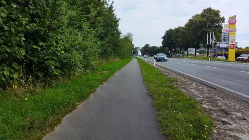
Am Steinbruch
Restaurant · German · 2.3 km
18 Osnabrücker Straße, Hilter
Mo, Tu off; We-Fr 17:00-23:30; Sa 11:30+; Su, PH 09:30-23:30
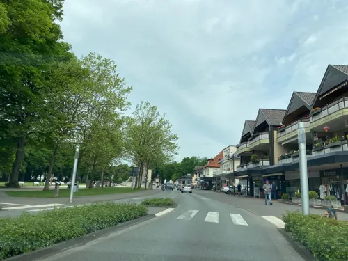
Cafe Coeurchen
Cafe · French · 3.2 km
15 Bahnhofstraße, Bad Rothenfelde
Mo,Th-Sa 09:00-22:00; Tu 09:00-18:00; Su 09:00-17:00
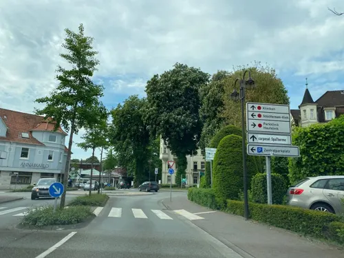
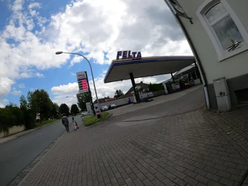
Plitzebramel
Restaurant · German · 4.9 km
2 Große Straße, Dissen am Teutoburger Wald
Mo-Sa 18:00-22:00; Su 17:00-23:00

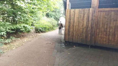

Alleecafé
Cafe · 3.2 km
4 Welfenallee, Bad Rothenfelde
Apr-Oct 08:30-18:00, Nov-Mar Sa-Su 14:30-18:00, Dec 16-31 off

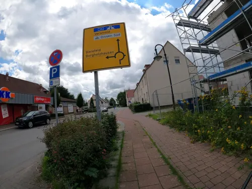
Bäckerei Brinkhege
Bakery · 4.5 km
6 Auf der Worth, Dissen am Teutoburger Wald
Mo-Fr 05:30-19:00; Sa 05:30-18:00; Su 08:00-11:00
Café Strathmann
Cafe · 3.3 km
14 Frankfurter Straße, Bad Rothenfelde
Mo-Sa 06:00-18:00; Su 08:00-18:00



Die Mühle - Café Bar Restaurant
Restaurant · 5.3 km
1 Kurgartenallee, Bad Laer
We-Sa 15:00-23:00; Su 12:00-22:00; PH 12:00-22:00
68 more on the map.
History
The municipality was united on 14 July 1972 by merging the municipalities Borgloh, Hankenberge and Hilter. Already in 1977 the municipalities Allendorf, Borgloh-Wellendorf, Ebbendorf, Eppendorf and Uphöfen were joined into the Einheitsgemeinde Borgloh.
From the History section of Hilter on Wikipedia, under CC BY-SA 4.0.
Where to stay31
Bischofs Hof, Aparthotel & Gestüt
Motel and hotel · 5.1 km
2 Am Bruchbach, Hilter am Teutoburger Wald
Caritas Seniorenerholung Haus St. Elisabeth
Motel and hotel · 3.2 km
19 Bahnhofstraße, Bad Rothenfelde
Churches and places of worship16
St. Barbara
Church · Roman Catholic · 5.2 km
2 Barbarastraße, Hilter am Teutoburger Wald
Bethaus der Mennoniten-Kirchengemeinde Dissen e.V.
Church · Mennonite · 5.3 km
70 Dahauser Straße, Dissen am Teutoburger Wald
Ev.-luth. Jesus-Chritus-Kirche
Church · Lutheran · 3.1 km
9 Münstersche Straße, Bad Rothenfelde
Freie evang. Gemeinde
Church · Evangelical · 5.2 km
6 Karl-Wilhelm-Straße, Dissen am Teutoburger Wald
Neuapostolische Kirche
Church · New Apostolic · 4.3 km
9 Mühlenstraße, Dissen am Teutoburger Wald
Shopping27
Gas and EV charging11
Schools, colleges and libraries9
Healthcare11
Augentagesklinik Dr. Fell
Clinic and pharmacy · 3.8 km
8 Heidländer Weg, Bad Rothenfelde
Klinik im Kurpark
Clinic and pharmacy · 3.3 km
33 Hannoversche Straße, Bad Rothenfelde
Osning Apotheke
Clinic and pharmacy · 2.9 km
5 Osnabrücker Straße, Bad Rothenfelde
Map of Hilter
250 places. The map loads OpenStreetMap tiles when you open it.
Getting there and nearby towns
Münster Osnabrück Airport (FMO) is the nearest airport with scheduled flights listed in OpenStreetMap, 32 km away.
- Osnabrück 17 km northwest, about 17 min by car
- Bielefeld 29 km southeast, about 29 min by car
- Münster 41 km southwest, about 41 min by car
- Hamm 55 km southwest, about 55 min by car
- Paderborn 62 km southeast, about 1 h by car
- Obernkirchen 69 km east, about 1 h 15 min by car
- Rehburg-Loccum 81 km northeast, about 1 h 15 min by car
- Wietmarschen 81 km northwest, about 1 h 15 min by car
- Dortmund 83 km southwest, about 1 h 30 min by car
- Recklinghausen 87 km southwest, about 1 h 30 min by car
Drive times are estimates from straight-line distance, not routes.
Local news
Headlines from INDB.
Reviews, tips and questions
Loading what members have shared...
Sources and licences
- GeoNames (CC BY 4.0): population, coordinates, regions and time zone
- Mapillary (see each image): photos
- OpenStreetMap contributors (ODbL 1.0): places, airports, map data
- Wikidata (CC0 1.0): elevation, founding date, time zone, website
- Wikimedia Commons (see each image): photos
- Wikipedia (CC BY-SA 4.0): overview and history text
Photo credits
- HilterStJohannesderTäufer, MrsMyer, CC BY-SA 3.0
- DRK-Kindertagesstätte Hilter (2009), Jochen Teufel, CC BY-SA 3.0
- Katholische Kirche St Josef Hilter (2009), Jochen Teufel, CC BY-SA 3.0
- Teuto Tank Hilter (2009), Jochen Teufel, CC BY-SA 3.0
- Sparkasse Osnabrück Filiale Hilter (2009), Jochen Teufel, CC BY-SA 3.0
- Blumengeschäft Stilblatt Hilter (2009), Jochen Teufel, CC BY-SA 3.0
- Tank- und Werkstattservice Hilter (2009), Jochen Teufel, CC BY-SA 3.0
- Hilter am Teutoburger Wald, die evangelisch-lutherische Kirche Sankt Johannes der Täufer IMG 6824 2020-07-31 12.12, Michielverbeek, CC BY-SA 4.0
- Bahnhof Hilter (2009), Jochen Teufel, CC BY-SA 3.0
- Hilter am Teutoburger Wald Johannes der Taeufer Kirche 02, Jan-Herm Janßen, CC BY-SA 4.0
- Hilter am Teutoburger Wald Johannes der Taeufer Kirche 03, J.-H. Janßen, CC BY-SA 4.0
- Hilter am Teutoburger Wald Johannes der Taeufer Kirche 04, J.-H. Janßen, CC BY-SA 4.0
- Johannes-der-Täufer-Kirche Hilter (2009), Jochen Teufel, CC BY-SA 3.0
- Rathaus Hilter im Winter (2009), Jochen Teufel, CC BY-SA 3.0
- Panorama Hilter (2009), Jochen Teufel, CC BY-SA 3.0
- LimbergTeutoburgerWald25122007, MrsMyer, CC BY-SA 3.0
- Bad Iburg - Freeden -BT- 01, Basotxerri, CC BY-SA 4.0
- Osnabrueck schinkel vom hohnsberg 02, Sail over, CC BY-SA 3.0
- 2026 Johannes-der-Täufer-Kirche (Hilter) (2), Chris06, CC BY-SA 4.0
- Badlaerkirche, Varus111, CC BY-SA 3.0
- Image-Dissen a t w stadtansicht2, Tilo Hauke, Dissen a.T.W., Germany, ( TiHa ), CC BY-SA 3.0
- Zeppelinstein Limberg, MAT, CC BY-SA 3.0
- Zeppelinstein Limberg, MAT, CC BY-SA 3.0
- Bad-Kösen-Gradierwerk, CTHOE, CC BY-SA 3.0
- Bad Laer - DC6, Hagar66, CC BY-SA 3.0
- Street-level photo, changchun1, CC BY-SA 4.0
- Street-level photo, sattelschwein, CC BY-SA 4.0
- Street-level photo, changchun1, CC BY-SA 4.0
- Street-level photo, sattelschwein, CC BY-SA 4.0
- Street-level photo, changchun1, CC BY-SA 4.0
- Street-level photo, sattelschwein, CC BY-SA 4.0
- Street-level photo, changchun1, CC BY-SA 4.0
- Street-level photo, VIA_KK, CC BY-SA 4.0
- Street-level photo, changchun1, CC BY-SA 4.0
- Street-level photo, sattelschwein, CC BY-SA 4.0
- Street-level photo, ThorstenHPunkt, CC BY-SA 4.0
- Street-level photo, VIA_KK, CC BY-SA 4.0
- Street-level photo, changchun1, CC BY-SA 4.0
- Street-level photo, ThorstenHPunkt, CC BY-SA 4.0
- Street-level photo, thetornado76, CC BY-SA 4.0
- Street-level photo, thetornado76, CC BY-SA 4.0
- Street-level photo, sattelschwein, CC BY-SA 4.0
- Street-level photo, changchun1, CC BY-SA 4.0
- Street-level photo, thetornado76, CC BY-SA 4.0
- Street-level photo, zuse, CC BY-SA 4.0
- Street-level photo, changchun1, CC BY-SA 4.0


Page built November 8, 2026. Spotted a mistake? Tell us or suggest a place.