


Stollberg, Germany
Landkreis Stollberg
Stollberg is a town of 11,127 people in Saxony, Germany, founded in 1990.
Why visit Stollberg
Townapedia lists 79 museums and landmarks, 60 parks and trails, 189 places to eat, 27 places to stay and 37 attractions in and around town.
Highlights include Roessler Hof, Hofladen Biohof Vogel, KohleWelt - Museum Steinkohlenbergbau Sachsen and Schlachthof Stollberg.
Weather in Stollberg
Forecast from MET Norway (CC BY 4.0). Full forecast
About Stollberg
Stollberg is a former district in Saxony, Germany. It was bounded by (from the north and clockwise) the district-free city Chemnitz, and the districts Mittlerer Erzgebirgskreis, Annaberg, Aue-Schwarzenberg, Zwickauer Land and Chemnitzer Land.
From the Wikipedia article Stollberg (district) (this version), under CC BY-SA 4.0.
Things to do37
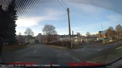
Roessler Hof
Farm and orchard · 8.9 km
61 Obere Hauptstraße, Burkhardtsdorf
Su,Mo off; Tu-Th 10:00-18:00; Fr 10:00-19:00; Sa 09:00-18:00

Bio-Hof Kretzschmar
Farm and orchard · 7.3 km
6 Erlbacher Straße, Gersdorf
Mo-Su 08:00-20:00



Imbiss "Geflügeltes Wiesel"
Farm and orchard · 5.1 km
4 Äußere Kirchberger Straße, Lugau
Fr 12:00-18:00; Sa 09:00-12:00

25 more on the map.
Museums and landmarks79

KohleWelt - Museum Steinkohlenbergbau Sachsen
Museum · 4.0 km
28 Pflockenstraße, Oelsnitz/Erzgebirge
Tu-Su 10:00-17:00
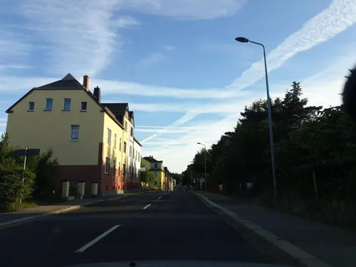
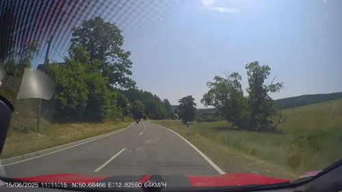
Wurzelmaennl
Museum · 4.2 km
13b Neue Thalheimer Straße
Mo,We,Fr 09:00-18:00; Tu,Th 14:00-18:00; Sa 09:00-14:00

Grünhain Abbey
Monument and historic site · 14.7 km
Cistercian monastery





Saxon Museum of Industry
Museum · 15.2 km
Museum with four locations in Saxony, Germany

67 more on the map.
Parks, trails and playgrounds60

Christlicher Erlebnisgarten
Sports field and stadium · 3.5 km
18 Brünloser Hauptstraße
Sa 10:00-17:00; Su 13:00-17:00; PH 13:00-17:00 || "nach Anmeldung"


Zwönitzer Schwimmhalle
Sports field and stadium · 9.0 km
8 Wiesenstraße, Zwönitz
Tu 13:30-20:30; We 08:00-13:00; Fr 11:00-18:00; Su 10:00-13:00

Freibad Jahnsdorf
Sports field and stadium · 7.2 km
1a Am Sonnenberg, Jahnsdorf/Erzgeb.
Mo-Fr 11:00-20:00; Sa-Su 10:00-20:00; SH Mo-Su 10:00-20:00
Freibad Lugau
Sports field and stadium · 3.9 km
1 Am Stadtbad, Lugau/Erzgeb.
Mo-Su,PH 10:00-20:00

Schwimmbad Oelsnitz
Sports field and stadium · 4.1 km
12 Am Bergbaumuseum, Oelsnitz/Erzgeb.
Th 18:00-21:30
Freizeitgelände Alte Ziegelei Niederwürschnitz
Sports field and stadium · 2.9 km

Bürger- und Familienpark Oelsnitz
Park · 6.6 km
Ehemals Landesgartenschaugelände 2015
Freibad Affalter
Sports field and stadium · 8.3 km
2a Weg zur Jugendherberge, Lößnitz
48 more on the map.
Restaurants and cafes189
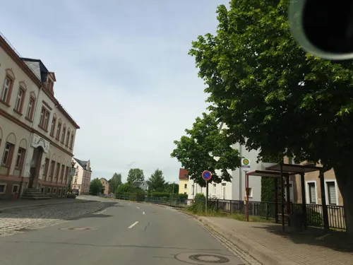
Brauereigasthof Grünes Tal
Restaurant · Indian, Italian · 7.6 km
178 Hauptstraße, Gersdorf
Tu-Su,PH 17:00-21:00; Mo off
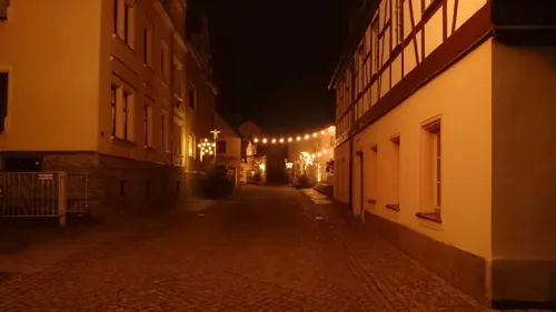
Casa Esposito
Restaurant · Italian Pizza, Pizza, Noodle, Neapoletanisch, Italian
27 Herrenstraße, Stollberg/Erzgebirge
Mo 17:30-23:00, We-Su 17:30-23:00, Su 11:30-14:30

Drei Mädelhaus
Restaurant · German · 6.2 km
122 Hartensteiner Straße, Hartenstein
We-Fr 11:00-15:00; Mo,Tu,Sa,Su,PH off
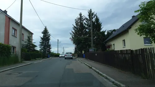
Evening Glow
Restaurant · Asian · 5.2 km
26 Alte Staatsstraße, Oelsnitz/Erzgeb.
Mo-Su 10:00-15:00, 17:00-22:00
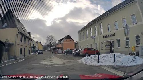
Gasthof Adorf
Restaurant · German · 8.4 km
74 Adorfer Hauptstraße, Neukirchen/Erzgebirge
We-Fr 11:00-14:00, We-Fr 17:00-22:00, Sa,Su 11:00-22:00; Mo,Tu off
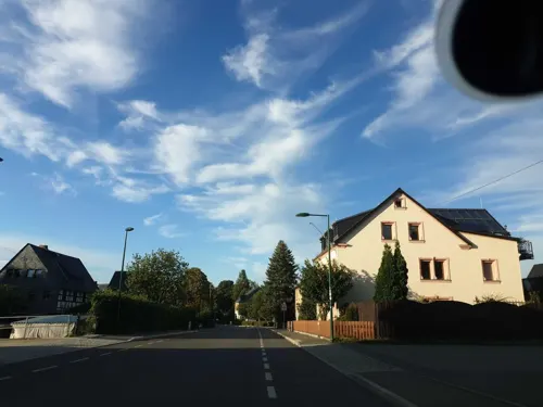
Gasthof Gablenz
Restaurant · German, Regional · 4.2 km
69 August-Bebel-Straße, Stollberg/Erzgebirge
Tu-Su,PH 11:00+; Mo off

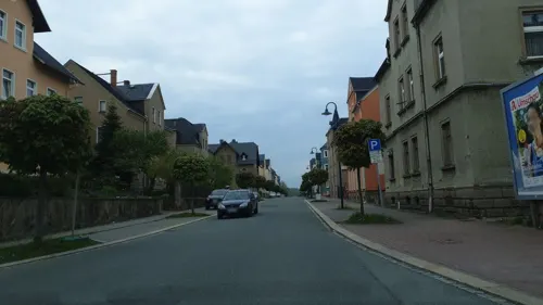
Il Tempio del Gusto
Restaurant · Italian · 5.7 km
20 Meinertstraße, Oelsnitz/Erzgeb.
Tu-Su 11:00-14:00,17:00-22:00
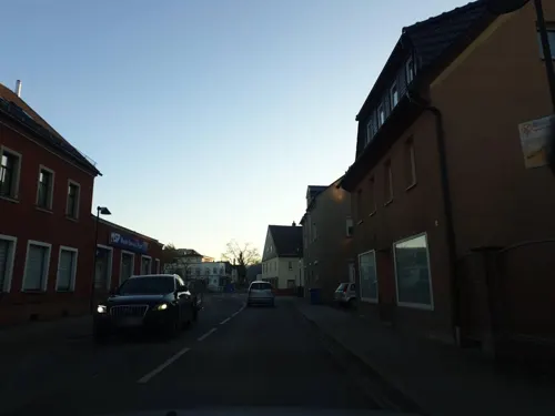


Pizzeria San Remo
Restaurant · Pizza · 4.9 km
32b Hauptstraße, Thalheim/Erzgebirge
We-Sa 17:00-23:00; Su,PH 11:00-14:00,17:00-23:00; Mo,Tu off
Restaurant Olympia
Restaurant · Greek · 7.3 km
144 Hauptstraße, Gornsdorf
Tu-Su 11:30-14:00,17:00-22:00
Sportgaststätte Leukersdorf
Restaurant · German · 6.8 km
28 Siedlerstraße, Jahnsdorf/Erzgeb.
Mo,Tu,Th,Fr 18:00-24:00; Sa 16:00-24:00; Su 10:00-21:00; We off
Tappas
Restaurant · Mexican · 4.9 km
9 Stadtbadstraße, Thalheim/Erzgebirge
Tu-Sa 17:00-23:00; Mo,Su,PH off
177 more on the map.
History
The district dates back to the Amtshauptmannschaft Stollberg, which was established in 1910. In 1939 it was renamed to Landkreis. In 1950 the district was dissolved and its municipalities were assigned to the neighboring districts Aue, Chemnitz and Zwickau. However two years later in another reform the district was recreated, only with a slightly different layout. In the communal reform of 1994 the district was enlarged by some municipalities from the district Chemnitz, and the city Zwönitz from the district Aue. On 1 August 2008 it was merged into the new district Erzgebirgskreis.
From the History section of Stollberg (district) on Wikipedia, under CC BY-SA 4.0.
Where to stay27
Bildungs- und Freizeitzentrum Tabakstanne
Motel and hotel · 3.3 km
48 Stollberger Straße, Thalheim/Erzgebirge
Churches and places of worship52
Christuskirche
Church · Lutheran · 6.0 km
1 Kirchplatz, Oelsnitz/Erzgeb.
Evangelisch-Lutherische Kirche
Church · Lutheran · 7.3 km
50 Hauptstraße, Lößnitz
Evangelisch-Lutherische Kirchgemeinde Gornsdorf
Church · Lutheran · 7.2 km
4 An der Kirche, Gornsdorf
Shopping68
Gas and EV charging14
STAR Tankstelle
Gas station · 1.2 km
58 Hohensteiner Straße, Stollberg/Erzgebirge
Schools, colleges and libraries30
Healthcare17
Apotheke am Rathaus
Clinic and pharmacy · 5.0 km
12 Hauptstraße, Thalheim/Erzgebirge
Bären Apotheke
Clinic and pharmacy · 0.6 km
36 Hohensteiner Straße, Stollberg/Erzgebirge
Bergmann-Apotheke
Clinic and pharmacy · 5.6 km
1 Alte Staatsstraße, Oelsnitz/Erzgeb.
Map of Stollberg
250 places. The map loads OpenStreetMap tiles when you open it.
Getting there and nearby towns
Leipzig-Altenburg Airport (AOC) is the nearest airport with scheduled flights listed in OpenStreetMap, 36 km away.
- Zwönitz 9 km south, about 9 min by car
- Chemnitz 17 km northeast, about 17 min by car
- Wilkau-Haßlau 19 km west, about 19 min by car
- Zschopau 21 km east, about 21 min by car
- Gera 53 km west, about 53 min by car
- Rehau 74 km southwest, about 1 h 15 min by car
- Leipzig 76 km north, about 1 h 15 min by car
- Hof 76 km southwest, about 1 h 15 min by car
- Selb 76 km southwest, about 1 h 15 min by car
- Dresden 77 km northeast, about 1 h 15 min by car
Drive times are estimates from straight-line distance, not routes.
Local news
Headlines from INDB.
Reviews, tips and questions
Loading what members have shared...
Sources and licences
- GeoNames (CC BY 4.0): population, coordinates, regions and time zone
- Mapillary (see each image): photos
- OpenStreetMap contributors (ODbL 1.0): places, airports, map data
- Wikidata (CC0 1.0): elevation, founding date, time zone, website, landmarks and historic places
- Wikimedia Commons (see each image): photos
- Wikipedia (CC BY-SA 4.0): overview and history text
Photo credits
- Stollberg (Erzgebirge), die Gartenstraße, Dguendel, CC BY 4.0
- Stollberg (Erzgebirge), die Ernst-Thälmann-Straße, Blick zum Turm der Kirche St. Jakobi, Dguendel, CC BY 4.0
- Stollberg (Erzgebirge), Bäckerei Weißbach, Dguendel, CC BY 4.0
- Stollberg (Erzgebirge), Haus Postplatz 7 (Hotel Goldener Adler und Restaurant Nostos), Dguendel, CC BY 4.0
- Stollberg Kgl Saechs MS, Radler59, CC BY-SA 3.0
- Stollberg (Erzgebirge), Portal der Kirche St. Jakobi, Dguendel, CC BY 4.0
- Ortspyramide in Stollberg, Erzgebirgskreis 2H1A3642WI, Kora27, CC BY-SA 4.0
- Ortspyramide in Stollberg, Erzgebirgskreis 2H1A3640WI, Kora27, CC BY-SA 4.0
- Stollberg (Erzgebirge), das Rathaus, Dguendel, CC BY 4.0
- Stollberg (Erzgebirge), Haus Hauptmarkt 8, Dguendel, CC BY 4.0
- Stollberg (Erzgebirge), Haus Rathausstraße 1, Dguendel, CC BY 4.0
- Auf dem Hauptmarkt in Stollberg, Erzgebirgskreis 2H1A9944WI, Kora27, CC BY-SA 4.0
- Auf dem Hauptmarkt in Stollberg, Erzgebirgskreis 2H1A9948WI, Kora27, CC BY-SA 4.0
- Stollberg (Erzgebirge), Haus Hauptmarkt 2, Dguendel, CC BY 4.0
- Kirche St. Jakobi in Stollberg, Erzgebirgskreis 2H1A9952WI, Kora27, CC BY-SA 4.0
- St. Jakobi Stollberg 2017, Clemensfranz, CC BY-SA 4.0
- Stollberg (Erzgebirge), Haus Hauptmarkt 6, Dguendel, CC BY 4.0
- Stollberg (Erzgebirge), Gasse am Hauptmarkt, Dguendel, CC BY 4.0
- Rathaus Stollberg Erzgebirge, Clemensfranz, CC BY-SA 4.0
- Holzfigure Bergmann. Ortspyramide Stollberg Erzgebirgskreis 2H1A3611WI, Kora27, CC BY-SA 4.0
- Ortspyramide (Detail) in Stollberg, Erzgebirgskreis 2H1A3634WI, Kora27, CC BY-SA 4.0
- Rathaus Stollberg (Erzgeb) 2H1A9938WI, Kora27, CC BY-SA 4.0
- Ortspyramide in Stollberg, Erzgebirgskreis 2H1A3684WI, Kora27, CC BY-SA 4.0
- Rathaus in Stollberg, Erzgebirgskreis 2H1A3688WI, Kora27, CC BY-SA 4.0
- Ortspyramide in Stollberg, Erzgebirgskreis 2H1A3566WI, Kora27, CC BY-SA 4.0
- Ortspyramide in Stollberg, Erzgebirgskreis 2H1A3563WI, Kora27, CC BY-SA 4.0
- Stollberg Erzgebirge, Marktplatz 2H1A3977WI, Kora27, CC BY-SA 4.0
- Grünhain Klostermauer, Devilsanddust, CC BY-SA 2.0 de
- SaxonyIndustrialMuseum, User:Kolossos, CC BY-SA 3.0
- Unterrichtungstafel A72 02082019 10, PantheraLeo1359531, Public domain
- Katzenstein (Erzgebirge) Triangulierungspunkt, Fireball2 at German Wikipedia, CC BY-SA 3.0
- Zum Wohle - Glückauf Bier, © 1971markus, CC BY-SA 4.0
- Glückaufturm (Oelsnitz). IMG 1778WI, Kora27, CC BY-SA 4.0
- Marienkirche. Gersdorf. 04, Kora27, CC BY-SA 3.0
- Bruenlos Kgl Saechs MS, Radler59, CC BY-SA 3.0
- Kirche Kirchplatz -, Conny, CC BY-SA 3.0
- Kirche Thalheim Erzgeb, Miebner, CC BY-SA 3.0
- Carl-von-Bach-Gymnasium in Stollberg, Erzgebirgskreis 2H1A9894WI, Kora27, CC BY-SA 4.0
- Kirche Brünlos, Miebner, CC BY-SA 3.0
- Kirche Hormersdorf 2, Miebner, CC BY-SA 3.0
- Ev.-Lutherkirche in Hohndorf, 09394 IMG 0467WI, Kora27, CC BY-SA 4.0
- Glockenturm Affalter, Miebner, CC BY-SA 3.0
- Glückaufturm-Aussichtsturm in Oelsnitz Erzgebirge 2H1A4924WI, Kora27, CC BY-SA 4.0
- Meilenstein Dorfchemnitz, maikm, CC BY-SA 4.0
- 0x-kursaechs-zwoenitz-ganz-1, Oxensepp ( talk ), CC BY-SA 3.0
- 0x-kursaechs-zwoenitz-viertel-2, Oxensepp, CC BY-SA 4.0
- Hoheneck-stollberg, Oxensepp, CC BY-SA 2.0 de
- Naturschutzgebiet Höhlteich in Oelsnitz. Erzgebirgskreis. 2H1A1267OB, Kora27, CC BY-SA 4.0
- Kirche Niederzwönitz, Miebner, CC BY-SA 3.0
- Bergbaumuseum Oelsnitz 07, Derbrauni, CC BY-SA 4.0
- Kirche am Hauptmarkt, Conny, CC BY-SA 3.0
- Erzgebirgische Landschaft, Blick von Huthübel bei Hormersdorf 2H1A7034WI, Kora27, CC BY-SA 4.0
- Eingang Christlicher Erlebnisgarten, Treeem, CC BY-SA 3.0
- Street-level photo, canislupus, CC BY-SA 4.0
- Street-level photo, canislupus, CC BY-SA 4.0
- Street-level photo, zossebart, CC BY-SA 4.0
- Street-level photo, canislupus, CC BY-SA 4.0
- Street-level photo, canislupus, CC BY-SA 4.0
- Street-level photo, canislupus, CC BY-SA 4.0
- Street-level photo, canislupus, CC BY-SA 4.0
- Street-level photo, AR88, CC BY-SA 4.0
- Street-level photo, canislupus, CC BY-SA 4.0
- Street-level photo, AR88, CC BY-SA 4.0
- Street-level photo, zossebart, CC BY-SA 4.0
- Street-level photo, canislupus, CC BY-SA 4.0
- Street-level photo, AR88, CC BY-SA 4.0
- Street-level photo, canislupus, CC BY-SA 4.0
- Street-level photo, canislupus, CC BY-SA 4.0
- Street-level photo, canislupus, CC BY-SA 4.0
- Street-level photo, AR88, CC BY-SA 4.0
- Street-level photo, AR88, CC BY-SA 4.0
- Street-level photo, canislupus, CC BY-SA 4.0
- Street-level photo, AR88, CC BY-SA 4.0
- Street-level photo, canislupus, CC BY-SA 4.0
- Street-level photo, canislupus, CC BY-SA 4.0
- Street-level photo, AR88, CC BY-SA 4.0
- Street-level photo, canislupus, CC BY-SA 4.0
- Street-level photo, AR88, CC BY-SA 4.0


Page built November 8, 2026. Spotted a mistake? Tell us or suggest a place.