


Why visit Karlsfeld
Townapedia lists 26 museums and landmarks, 24 parks and trails, 109 places to eat, 15 places to stay and 6 attractions in and around town.
Highlights include Hofladen Obergrashof, Hofladen Obersojer, Heimatmuseum Karlsfeld and Alice Jaffé.
Weather in Karlsfeld
Forecast from MET Norway (CC BY 4.0). Full forecast
About Karlsfeld
Karlsfeld (German pronunciation: [ˈkaʁlsfɛlt] ) is a municipality in the district of Dachau, and a suburb to Munich in Bavaria, Germany. During World War II, it was the location of a subcamp of Dachau concentration camp.
From the Wikipedia article Karlsfeld (this version), under CC BY-SA 4.0.
Things to do6

Hofladen Obergrashof
Farm and orchard · 3.4 km
1, Dachau
Tu,Fr 09:00-19:00; Th 13:00-19:00; Sa 09:00-12:00
Hofladen Obersojer
Farm and orchard · 3.7 km
103 Grashofstraße, München
Mo-Fr 08:00-12:00, 13:30-18:00; Sa 08:00-12:00
Hanuschkes Hofladen
Farm and orchard · 3.0 km
Gemüse und Kräuter aus eigenem Anbau
Tu 14:00-18:00; Fr 09:00-12:00,14:00-18:30; Sa 09:00-13:00
Kiening's Hofladen
Farm and orchard · 2.9 km
6 Bajuwarenstraße, Karlsfeld
Sa 08:00-12:00

Museums and landmarks26



14 more on the map.
Parks, trails and playgrounds24






12 more on the map.
Restaurants and cafes109
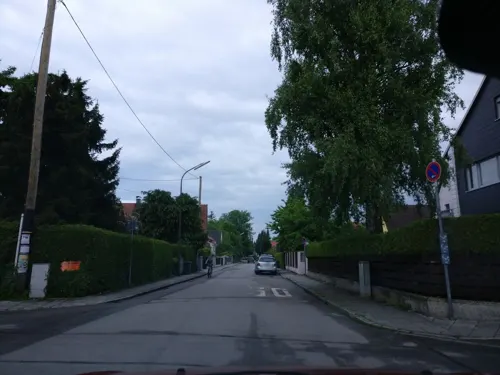
Gasthof Zur Eiche
Restaurant · Regional · 1.1 km
Gasthof Kegelbahn
4 Leinorstraße, Karlsfeld
Mo-Su 06:00-24:00; Fr off

Annas Taverne
Restaurant · Griechisch · 2.4 km
502 Kleingartenanlage
Tu-Sa 17:00-23:00; Su, PH 12:00-15:00, 17:00-23:00
Gaststätte zur Allacher Schießstätte
Restaurant · Regional · 3.8 km
1 Servetstraße, München
Tu-Su 11:30-23:00, Fr,Sa 11:30-01:00
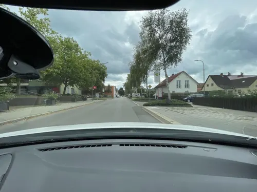
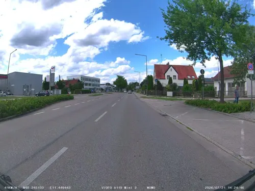
Gold Cow
Restaurant · Burger · 2.8 km
5 Wallbergstraße
Mo 11:00-20:55; Tu 11:00-21:25; We 11:00-21:30; Th 10:00-21:50; Fr...
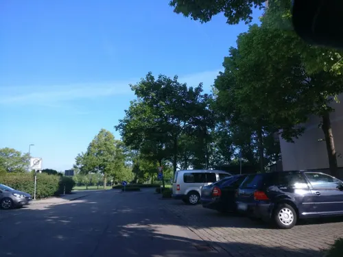
La Capannina
Restaurant · Italian · 1.0 km
Gaststätte im Sportpark
Tu,We 17:00-23:00; Th,Fr 11:30-14:00,17:00-23:00; Sa 10:00-20:00;...
La Villa
Restaurant · Italian · 0.8 km
2 Gottfried-Keller-Weg, Karlsfeld
Mo-Sa 11:30-14:30,17:30-23:00; We off; Su,PH 11:30-23:00
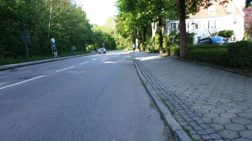
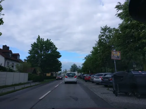
Original Hong Kong Kitchen
Restaurant · Chinese · 0.7 km
12 Allacher Straße, Karlsfeld
Mo-Su 11:30-14:30, 17:30-22:30
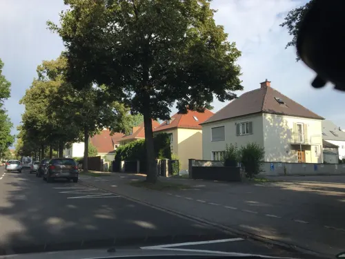
Restaurant Croatica
Restaurant · Balkan, Bavarian, Regional · 3.7 km
99 Schleißheimer Straße, Dachau
Mo-Su 11:00-14:30,17:00-23:00; Tu off
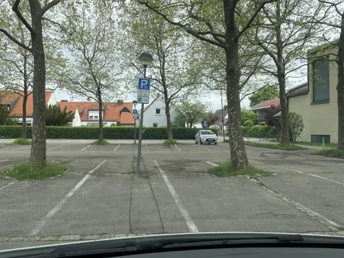


Ristorante Casa Paese
Restaurant · Italian · 3.5 km
25 Jahnstraße, Dachau
Mo off; Tu-Fr 11:00-14:30, 17:30-23:00; Sa-Su 11:00-23:00
97 more on the map.
Where to stay15
Churches and places of worship13
Georgische Gemeinde Heiliger König Vakhtang Gorgasali
Church · Georgian Orthodox · 1.7 km
8 Kristallstraße, München
Heilige Apostel Petrus und Paulus
Church · Ukrainian Orthodox · 1.6 km
1 Granatstraße, München
Shopping28
Gas and EV charging13
Schools, colleges and libraries20
Berufliches Schulungszentrum Nikolaus-Lehner-Schulen Dachau
School · 3.2 km
1 Heinrich-Neumaier-Platz
Healthcare9
Map of Karlsfeld
250 places. The map loads OpenStreetMap tiles when you open it.
Getting there and nearby towns
Sonderflughafen Oberpfaffenhofen (OBF) is the nearest airport with scheduled flights listed in OpenStreetMap, 21 km away.
- Oberschleißheim 7 km east, about 7 min by car
- Unterschleißheim 10 km northeast, about 10 min by car
- Olching 11 km west, about 11 min by car
- Munich 12 km southeast, about 12 min by car
- Puchheim 13 km southwest, about 13 min by car
- Unterföhring 13 km east, about 13 min by car
- Planegg 14 km south, about 14 min by car
- Ismaning 15 km east, about 15 min by car
- Maisach 16 km west, about 16 min by car
- Neufahrn bei Freising 17 km northeast, about 17 min by car
Drive times are estimates from straight-line distance, not routes.
Local news
Headlines from INDB.
Reviews, tips and questions
Loading what members have shared...
Sources and licences
- GeoNames (CC BY 4.0): population, coordinates, regions and time zone
- Mapillary (see each image): photos
- OpenStreetMap contributors (ODbL 1.0): places, airports, map data
- Wikidata (CC0 1.0): elevation, founding date, time zone, website, landmarks and historic places
- Wikimedia Commons (see each image): photos
- Wikipedia (CC BY-SA 4.0): overview and history text
Photo credits
- Wohngebiet in Karlsfeld, Wzwz, Public domain
- Kriegerdenkmal Karlsfeld (Bayern), Wikitarisch, CC BY-SA 4.0
- Kriegerdenkmal Karlsfeld (Bayern) 04, Wikitarisch, CC BY-SA 4.0
- Kriegerdenkmal Karlsfeld (Bayern) 02, Wikitarisch, CC BY-SA 4.0
- Kriegerdenkmal Karlsfeld (Bayern) Namen, Wikitarisch, CC BY-SA 4.0
- Kriegerdenkmal Karlsfeld (Bayern) Mosaik, Wikitarisch, CC BY-SA 4.0
- Aerial image of Karlsfelder See, Carsten Steger, CC BY-SA 4.0
- Korbinian Aigner Denkmal Karlsfeld vor der Korneliuskirche Nahansicht, Wikitarisch, CC BY-SA 4.0
- Korbinian Aigner Denkmal Karlsfeld vor der Korneliuskirche 01, Wikitarisch, CC BY-SA 4.0
- Unfallkreuz Gewerbegebiet Karlsfeld, Wikitarisch, CC BY-SA 4.0
- Goldschmiedplatz Hasenbergl München-1, Rufus46, CC BY-SA 3.0
- Gilmer Schloss 2, Gras-Ober, CC BY-SA 3.0
- München Ludwigsfeld Hl. Apostel, Rudolph Buch, Public domain
- Muealeversbusch195z042021c99, Fentriss, CC0
- München Ludwigsfeld St. Michael I, Rudolph Buch, Public domain
- Wzwz Prinzenpark 05, Wzwz, CC0
- Wzwz dachau x43b heide-1, Wzwz, CC0
- Allacher Forst, Mamudoski Almir, CC BY-SA 3.0
- Karlsfeld St. Anna (cropped), Wzwz, CC0
- Sankt-König-Wachtang-I.-Gorgassali-Kirche, Photographer: Mosbatho, CC BY 4.0
- Wzwz karlsfeld kir 3b, Wzwz, CC0
- Karlsfeld, St. Josef (2), Cmcmcm1, CC BY-SA 4.0
- Stolperstein für Alice Jaffé (Dachau), Christian Michelides, CC BY-SA 4.0
- Stolperstein für Hans Neumeyer (Dachau), Christian Michelides, CC BY-SA 4.0
- Stolperstein für Julius Kohn (Dachau), Christian Michelides, CC BY-SA 4.0
- Stolperstein für Max Wallach (Dachau), Christian Michelides, CC BY-SA 4.0
- Stolperstein für Melitta Wallach (Dachau), Christian Michelides, CC BY-SA 4.0
- Stolperstein für Therese Wildmoser (Dachau), Christian Michelides, CC BY-SA 4.0
- Stolperstein für Vera Neumeyer (Dachau), Christian Michelides, CC BY-SA 4.0
- Stolperstein für Albert Vettermann (Dachau), Christian Michelides, CC BY-SA 4.0
- Stolperstein für Johann Pflügler (Dachau), Christian Michelides, CC BY-SA 4.0
- Allacher Lohe GO-4, Gras-Ober, CC BY-SA 3.0
- Wzwz Schwarzhoelzl 10, Wzwz, CC0
- Schwarzhölzl Feldmoching, Gras-Ober, CC BY-SA 3.0
- Allacher Lohe GO-2, Gras-Ober, CC BY-SA 3.0
- Street-level photo, boheme, CC BY-SA 4.0
- Street-level photo, jakobramsteiner, CC BY-SA 4.0
- Street-level photo, soulcover, CC BY-SA 4.0
- Street-level photo, boheme, CC BY-SA 4.0
- Street-level photo, boheme, CC BY-SA 4.0
- Street-level photo, soulcover, CC BY-SA 4.0
- Street-level photo, ffb20fh, CC BY-SA 4.0
- Street-level photo, thomas_munichways, CC BY-SA 4.0
- Street-level photo, markusd, CC BY-SA 4.0
- Street-level photo, thmunichways, CC BY-SA 4.0
- Street-level photo, chicc0, CC BY-SA 4.0
- Street-level photo, teddy73, CC BY-SA 4.0
- Street-level photo, teddy73, CC BY-SA 4.0
- Street-level photo, bezur, CC BY-SA 4.0
- Street-level photo, maturion, CC BY-SA 4.0
- Street-level photo, snepuh, CC BY-SA 4.0
- Street-level photo, ente, CC BY-SA 4.0
- Street-level photo, soulcover, CC BY-SA 4.0
- Street-level photo, teddy73, CC BY-SA 4.0
- Street-level photo, soulcover, CC BY-SA 4.0
- Street-level photo, markusd, CC BY-SA 4.0
- Street-level photo, soulcover, CC BY-SA 4.0
- Street-level photo, soulcover, CC BY-SA 4.0


Page built November 8, 2026. Spotted a mistake? Tell us or suggest a place.