


Kaufungen, Germany
Kaufungen is a town of 12,683 people in Hesse, Germany, founded in 1970.
Why visit Kaufungen
Townapedia lists 22 museums and landmarks, 31 parks and trails, 45 places to eat, 8 places to stay and 12 attractions in and around town.
Highlights include Stiens Beef, Bielstein, Museum "Alte Schule" and Brückenrelikt Reichsautobahn Strecke 78, Kassel-Eisenach.
Weather in Kaufungen
Forecast from MET Norway (CC BY 4.0). Full forecast
About Kaufungen
Kaufungen (German pronunciation: [ˈkaʊfʊŋən]) is a municipality in the district of Kassel, in Hesse, Germany. It is situated in the narrow valley of the river Losse, surrounded by the steep, wooded hills of the Kaufunger Wald, approx. 10 kilometres east of Kassel.
From the Wikipedia article Kaufungen (this version), under CC BY-SA 4.0.
Things to do12




Rote Rübe
Farm and orchard · 1.2 km
1 (a) Kirchweg, Kaufungen
Fr 15:00-18:00; Sa 10:00-13:00

Museums and landmarks22

Museum "Alte Schule"
Museum · 1.0 km
33 Schulstraße, Kaufungen
We,Th,Sa 14:00-17:00; Su 10:00-17:00

Brückenrelikt Reichsautobahn Strecke 78, Kassel-Eisenach
Monument and historic site · 3.8 km
Brückenrelikt Reichsautobahn Strecke 78, Kassel-Eisenach, erbaut 1939/40

Strecke 78
Monument and historic site · 4.8 km
Reichsautobahn Strecke 78, Kassel-Eisenach
Affendenkmal
Monument and historic site · 2.5 km
Staffage im ehemaligen Landschaftspark Gut Windhausen.
Arminiusgrab
Monument and historic site · 3.1 km
Staffage im ehemaligen Landschaftspark Gut Windhausen.
10 more on the map.
Parks, trails and playgrounds31

Vollmarshäuser Teiche
Hiking and trails · 3.2 km
Laubwald mit Feuchtgebiet und Feuchtwiese, ca. 500 m nordöstlich des Ortsrandes von Vollmarshausen in der Gemeinde Lohfelden.

Mehrzweckhalle Lohfelden
Sports field and stadium · 4.8 km
51a Lange Straße, Lohfelden
Sporthalle
Sports field and stadium · 4.2 km
10a Kurt-Schumacher-Straße, Lohfelden


19 more on the map.
Restaurants and cafes45
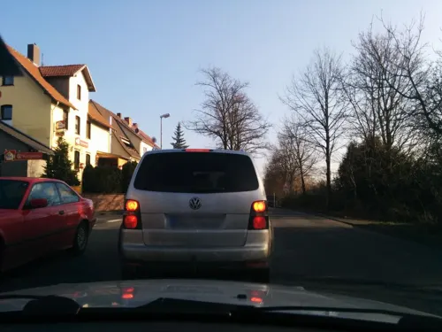
Birkenhof
Restaurant · Steak House · 4.6 km
2 Eschweger Straße, Lohfelden
Tu-Sa 17:30-23:00; Su 11:30-14:00,17:30-23:00
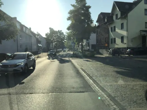
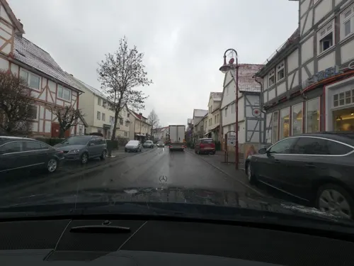
Kaufunger Hof
Restaurant · Regional · 1.0 km
445 Leipziger Straße, Kaufungen
Fr,Sa 15:00-01:00, Mo-Th 16:00-24:00

Pizza Pasta Fantastico
Restaurant · Italian
3 Hessenring, Kaufungen
Tu,We,Th,Fr,Su 12:00-14:00,17:30+; Sa 17:30+
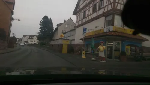
Rangla Punjab Indisches Restaurant
Restaurant · Indian · 4.1 km
17 Witzenhäuser Straße, Niestetal
Tu-Su 11:30-14:00, 17:00-22:00
Restaurant Zum Niestetal
Restaurant · Regional · 4.4 km
16 Niestetalstraße, Niestetal
Mo,Tu 18:00-22:00; We-Su 11:00-14:30,18:00-22:00
Typisch Indisch
Restaurant · Indian · 4.8 km
19 Ochshäuser Dorfstraße, Lohfelden
Mo-Su 12:00-14:30, 17:30-22:00

Chinarestaurant Mulan
Restaurant · Chinese · 4.6 km
Tu-Fr 11:30-15:00, 17:00-22:00; Sa, Su 11:30-22:00



33 more on the map.
History
The first historical reference to Coufunga was in 1011, when it was in use as a royal court. However, the extant St. Georgskapelle (St George's Chapel) is believed to be rather older, probably dating from the 10th century.
In 1017 Henry II, Holy Roman Emperor and his queen Cunigunde of Luxemburg founded Kaufungen Abbey, a Benedictine convent, perched on the steep edge of the Losse valley above what is now the centre of Oberkaufungen. Upon the death of her husband in 1024, Cunigunde entered the convent, and lived there until her death in 1033 or 1039. The Reformation brought the closure of the convent in 1527, but the large church (the Stiftskirche) is still standing and in use as a parish church today. At various points in its history, Kaufungen has been a local centre for mining, glass-making, charcoal burning, forestry and paper manufacture.
The farming settlement of Niederkaufungen, situated slightly downriver where the narrow Losse valley begins to open out into the wide, flat plain of the Fulda, is of more recent origin. In 1970 the villages of Nieder- and Oberkaufungen formally merged to form the present municipality. Since 1974, the Stiftskirche has played host to the Kaufunger Konzerte series of classical music concerts.
From the History section of Kaufungen on Wikipedia, under CC BY-SA 4.0.
Where to stay8
Churches and places of worship10
Evangelische Kirchengemeinde Oberkaufungen "Stephanushaus"
Church · Protestant · 0.9 km
22 Schulstraße, Kaufungen
Ev. Kirche Vollmarshausen
Church · Protestant · 4.4 km
4 Vollmarshäuser Straße, Lohfelden
Shopping15
Gas and EV charging6
Schools, colleges and libraries10
Healthcare6
MVZ Kaufungen | Guxhagen - Ihre orthopädisch-chirurgischen Praxen vor Ort
Clinic and pharmacy · 0.8 km
422 Leipziger Straße, Kaufungen
Helios Kliniken Kassel, Standort Kaufungen
Hospital · 2.2 km
2 Sophie-Henschel-Weg, Kaufungen
Map of Kaufungen
165 places. The map loads OpenStreetMap tiles when you open it.
Getting there and nearby towns
Kassel Airport (KSF) is the nearest airport with scheduled flights listed in OpenStreetMap, 22 km away.
- Lohfelden 6 km west, about 6 min by car
- Kassel 9 km northwest, about 9 min by car
- Hessisch Lichtenau 11 km southeast, about 11 min by car
- Fuldatal 12 km north, about 12 min by car
- Melsungen 17 km south, about 17 min by car
- Witzenhausen 18 km east, about 18 min by car
- Felsberg 21 km southwest, about 21 min by car
- Fritzlar 29 km southwest, about 29 min by car
- Wolfhagen 32 km west, about 32 min by car
- Göttingen 36 km northeast, about 36 min by car
Drive times are estimates from straight-line distance, not routes.
Local news
Headlines from INDB.
Reviews, tips and questions
Loading what members have shared...
Sources and licences
- GeoNames (CC BY 4.0): population, coordinates, regions and time zone
- Mapillary (see each image): photos
- OpenStreetMap contributors (ODbL 1.0): places, airports, map data
- Wikidata (CC0 1.0): elevation, founding date, time zone, website
- Wikimedia Commons (see each image): photos
- Wikipedia (CC BY-SA 4.0): overview and history text
Photo credits
- Kaufungen 001, Herrick with Olympus C-220 Zoom, CC BY-SA 2.0 de
- Kaufungen - Gesamtschule - panoramio, Kenan3, CC BY 3.0
- Bus- und Tramhaltestelle Gesamtschule, 2, Kaufungen, Landkreis Kassel, GeorgDerReisende, CC BY-SA 4.0
- Bus- und Tramhaltestelle Gesamtschule, 5, Kaufungen, Landkreis Kassel, GeorgDerReisende, CC BY-SA 4.0
- Bus- und Tramhaltestelle Gesamtschule, 4, Kaufungen, Landkreis Kassel, GeorgDerReisende, CC BY-SA 4.0
- Bus- und Tramhaltestelle Gesamtschule, 1, Kaufungen, Landkreis Kassel, GeorgDerReisende, CC BY-SA 4.0
- Bus- und Tramhaltestelle Gesamtschule, 3, Kaufungen, Landkreis Kassel, GeorgDerReisende, CC BY-SA 4.0
- Stein (Kaufungen) 04, Cherubino, CC BY-SA 3.0 de
- Stein (Kaufungen) 01, Cherubino, CC BY-SA 3.0 de
- Stein (Kaufungen) 02, Cherubino, CC BY-SA 3.0 de
- Stein (Kaufungen) 05, Cherubino, CC BY-SA 3.0 de
- Stein (Kaufungen) 03, Cherubino, CC BY-SA 3.0 de
- JVA Kassel I Zweiganstalt Kaufungen, Cherubino, CC BY-SA 3.0 de
- Steinertsee, 1, Niederkaufungen, Kaufungen, Landkreis Kassel, GeorgDerReisende, CC BY-SA 4.0
- Leipziger Straße 426, 1, Oberkaufungen, Kaufungen, Landkreis Kassel, GeorgDerReisende, CC BY-SA 4.0
- Steinertsee, 2, Niederkaufungen, Kaufungen, Landkreis Kassel, GeorgDerReisende, CC BY-SA 4.0
- Leipziger Straße 428, 1, Oberkaufungen, Kaufungen, Landkreis Kassel, GeorgDerReisende, CC BY-SA 4.0
- Leipziger Straße 424, 1, Oberkaufungen, Kaufungen, Landkreis Kassel, GeorgDerReisende, CC BY-SA 4.0
- Schulstraße 33, 1, Oberkaufungen, Kaufungen, Landkreis Kassel, GeorgDerReisende, CC BY-SA 4.0
- Sensensteinstraße 8, 1, Oberkaufungen, Kaufungen, Landkreis Kassel, GeorgDerReisende, CC BY-SA 4.0
- Hundeberg 3 (Oberkaufungen) 01, Cherubino, CC BY-SA 3.0 de
- Leipziger Straße 430, 3, Oberkaufungen, Kaufungen, Landkreis Kassel, GeorgDerReisende, CC BY-SA 4.0
- Hundeberg 3, 1, Oberkaufungen, Kaufungen, Landkreis Kassel, GeorgDerReisende, CC BY-SA 4.0
- Tramhaltestelle Mitte, 2, Oberkaufungen, Kaufungen, Landkreis Kassel, GeorgDerReisende, CC BY-SA 4.0
- Hundeberg, 1, Oberkaufungen, Kaufungen, Landkreis Kassel, GeorgDerReisende, CC BY-SA 4.0
- Schulstraße 24 (Oberkaufungen) 01, Cherubino, CC BY-SA 3.0 de
- Schulstraße 33 (Oberkaufungen) 02, Cherubino, CC BY-SA 3.0 de
- Kleine Kulle, 1, Oberkaufungen, Kaufungen, Landkreis Kassel, GeorgDerReisende, CC BY-SA 4.0
- Schulstraße 33 (Oberkaufungen) 01, Cherubino, CC BY-SA 3.0 de
- Leipziger Straße 269 (Niederkaufungen) 02, Cherubino, CC BY-SA 3.0 de
- Hundeberg 1, 3, Oberkaufungen, Kaufungen, Landkreis Kassel, GeorgDerReisende, CC BY-SA 4.0
- Schulstraße 30, 2, Oberkaufungen, Kaufungen, Landkreis Kassel, GeorgDerReisende, CC BY-SA 4.0
- Mühlenweg 16, 3, Oberkaufungen, Kaufungen, Landkreis Kassel, GeorgDerReisende, CC BY-SA 4.0
- Hundeberg 3, 3, Oberkaufungen, Kaufungen, Landkreis Kassel, GeorgDerReisende, CC BY-SA 4.0
- Schulstraße 33, 2, Oberkaufungen, Kaufungen, Landkreis Kassel, GeorgDerReisende, CC BY-SA 4.0
- Leipziger Straße 432, 1, Oberkaufungen, Kaufungen, Landkreis Kassel, GeorgDerReisende, CC BY-SA 4.0
- Leipziger Straße 434, 1, Oberkaufungen, Kaufungen, Landkreis Kassel, GeorgDerReisende, CC BY-SA 4.0
- Bielstein 2013, RayonDerDritte, CC0
- Mühlenberg, 1, Niestetal, Landkreis Kassel, GeorgDerReisende, CC BY-SA 4.0
- Lohfelden ochshausen-kirche-02, ChristosV, CC BY-SA 3.0
- Söhre-Schule Lohfelden von Vorne, Marlon5775, CC BY 4.0
- Evangelische Kirche, 2, Heiligenrode, Niestetal, Landkreis Kassel, GeorgDerReisende, CC BY-SA 4.0
- Luftaufnahme Alte Autobahnbrücke Söhrewald, Rolf Nagel, Baunatal, CC BY-SA 3.0
- NSG 1633012 Vollmarshäuser Teiche 2017-11-04 a, Baummapper, CC BY-SA 3.0 de
- Kaufungen Stift 02, ErwinMeier, CC BY-SA 4.0
- Street-level photo, vrantopoulos, CC BY-SA 4.0
- Street-level photo, saschahaberkorn, CC BY-SA 4.0
- Street-level photo, saschahaberkorn, CC BY-SA 4.0
- Street-level photo, live, CC BY-SA 4.0
- Street-level photo, gisjam, CC BY-SA 4.0
- Street-level photo, gisjam, CC BY-SA 4.0
- Street-level photo, zoegglmeyr, CC BY-SA 4.0
- Street-level photo, vrantopoulos, CC BY-SA 4.0
- Street-level photo, saschahaberkorn, CC BY-SA 4.0
- Street-level photo, saschahaberkorn, CC BY-SA 4.0
- Street-level photo, vrantopoulos, CC BY-SA 4.0
- Street-level photo, live, CC BY-SA 4.0
- Street-level photo, zoegglmeyr, CC BY-SA 4.0
- Street-level photo, saschahaberkorn, CC BY-SA 4.0
- Street-level photo, saschahaberkorn, CC BY-SA 4.0
- Street-level photo, vrantopoulos, CC BY-SA 4.0
- Street-level photo, saschahaberkorn, CC BY-SA 4.0
- Street-level photo, vrantopoulos, CC BY-SA 4.0
- Street-level photo, vrantopoulos, CC BY-SA 4.0
- Street-level photo, live, CC BY-SA 4.0


Page built November 8, 2026. Spotted a mistake? Tell us or suggest a place.