


Why visit Königstädten
Townapedia lists 9 museums and landmarks, 24 parks and trails, 84 places to eat, 7 places to stay and 4 attractions in and around town.
Highlights include Bauer Lipp - Verkaufsstand, OSCAR Studi-Kino, Alte Opel-Rennbahn and Heimatmuseum.
Weather in Königstädten
Forecast from MET Norway (CC BY 4.0). Full forecast
Things to do4

Bauer Lipp - Verkaufsstand
Farm and orchard · 1.5 km
Georg-Mischlich-Platz
Mo-Th 10:00-18:00; Fr-Sa 09:00-18:00

OSCAR Studi-Kino
Cinema and theater · 3.1 km
Studentenkino der Hochschule RheinMain in Raum A038
Während des Semesters meistens jeden zweiten Donnerstag ab 18:00...
Hofladen Kuhlmann
Farm and orchard · 1.6 km
15 Berzallee, Nauheim
Mo,Tu,Th,Fr 09:30-12:00,15:30-18:00; Sa 09:30-13:00
Museums and landmarks9

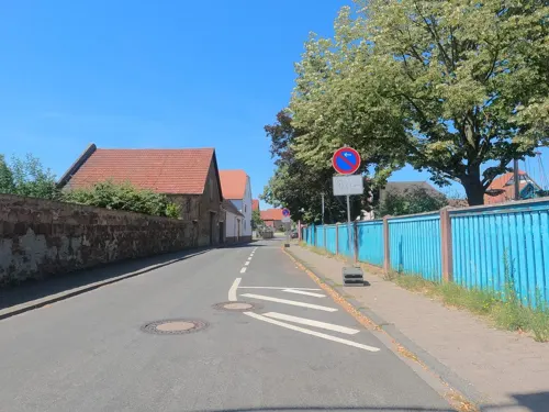
Fünfmärker
Monument and historic site · 3.0 km
Grenzpunkt von Bischofsheim, Rüsselsheim, Königstädten, Hof Schönau, Bauschheim

Parks, trails and playgrounds24




Spielplatz Kohlseestraße
Playground · 0.7 km
Spielplatz mit Meeting Point, Kletterburg, Schaukel, Rutsche für groß und Klein und Picknick Bänke.
Spielplatz Waldgartenstraße
Playground
Spielplatz Königstädten Waldgartenstraße, sehr große Spielplatzfläche mit Schaukeln, Picknick Möglichkeit und Wiesenfläche einen eigenen...
12 more on the map.
Restaurants and cafes84

Rüsseler Flames
Restaurant · Indian · 1.9 km
Original indisch-pakistanisches Tandoori Restaurant
10 Stahlstraße, Rüsselsheim am Main
Mo-Fr 11:30-14:30,17:30-22:30; Tu off; Sa,Su 10:00-14:30,18:30-22:30
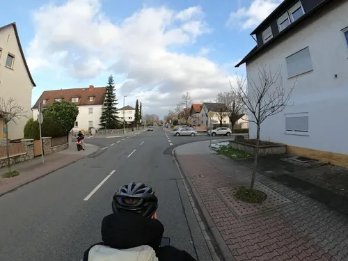
Akropolis
Restaurant · Greek, German · 1.7 km
40 Unter der Muschel, Nauheim
Tu-Sa,Su,PH 11:30-14:00,17:00-24:00
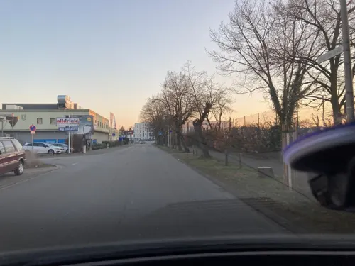
Freeway American Restaurant
Restaurant · Burger, American · 1.2 km
6 Lise-Meitner-Straße, Rüsselsheim am Main
Mo-Th 16:30-00:00, Fr-Sa 16:30-01:00, Su 12:00-23:00
Gaststätte Turnerheim
Restaurant · German · 1.0 km
30 Stockstraße, Rüsselsheim am Main
Mo-Fr 18:00-24:00; We off; Su 10:00-20:00
Hessischer Hof
Restaurant · German, Greek · 2.3 km
37 Bahnhofstraße, Nauheim
Mo-Sa 17:00-23:00; Su,PH off
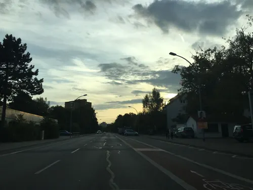
Horlachschänke
Restaurant · Croatian · 2.2 km
66 Hessenring, Rüsselsheim am Main
Tu-Su 11:30-14:30,17:30-24:00
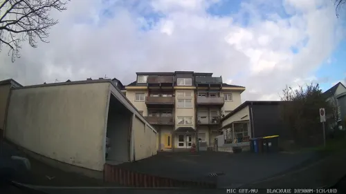
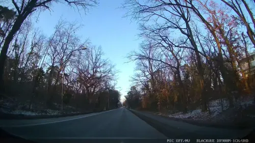
Ristorante da Leonardo
Restaurant · Italian · 1.4 km
70 Königstädter Straße, Nauheim
Mo closed, Tu-Th 17:00-22:00, Fr-Su 11:30-14:00,17:00-22:00
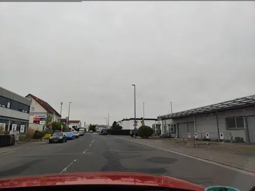
Trattoria Da Peppino
Restaurant · Italian, Pizza · 2.5 km
11 Eisenstraße, Rüsselsheim am Main
Mo-Fr 11:30-14:00,18:00-22:00; Sa 18:00-22:00


Zum Keglerheim
Restaurant · Greek · 3.0 km
15 Am Keglerheim, Rüsselsheim am Main
Mo-Fr 16:00-24:00; Sa,Su,PH 11:00-14:00,16:00-24:00
Zur Krone
Restaurant · Balkan, German
7 Bismarckplatz, Rüsselsheim am Main
Tu-Sa 17:00-20:00; Su 11:30-13:30, 17:00-20:00
72 more on the map.
Where to stay7
DORMERO Hotel Rüsselsheim Airport-Frankfurt
Motel and hotel · 2.2 km
54 Eisenstraße, Rüsselsheim am Main
Michel Hotel Rüsselsheim Frankfurt Airport
Motel and hotel · 2.6 km
6-8 Eisenstraße, Rüsselsheim am Main
Churches and places of worship13
Dreifaltigkeitskirche
Church · Catholic · 2.5 km
3 An der Wied, Rüsselsheim am Main
Evangelisches Gemeindezentrum
Church · Protestant · 0.6 km
52 Kohlseestraße, Rüsselsheim am Main
Gemeindezentrum Johannes XXIII
Church · Catholic · 0.6 km
76 Bensheimer Straße, Rüsselsheim am Main
Königreichssaal der Zeugen Jehovas
Church · Jehovahs Witness · 2.2 km
1a Kobaltstraße, Rüsselsheim am Main
Shopping20
Gas and EV charging5
Schools, colleges and libraries16
Hochschule RheinMain – Campus Rüsselsheim Am Brückweg
School · 3.1 km
26 Am Brückweg, Rüsselsheim am Main
Healthcare13
Michaelis Apotheke
Clinic and pharmacy · 3.0 km
18 Feuerbachstraße, Rüsselsheim am Main
Apotheke Am Ostpark
Clinic and pharmacy · 3.1 km
166;8 Haßlocher Straße, Rüsselsheim am Main
Map of Königstädten
195 places. The map loads OpenStreetMap tiles when you open it.
Getting there and nearby towns
Frankfurt Airport (FRA) is the nearest airport with scheduled flights listed in OpenStreetMap, 10 km away.
- Nauheim 2 km southeast, about 2 min by car
- Trebur 5 km southwest, about 5 min by car
- Raunheim 6 km north, about 6 min by car
- Mainz 12 km west, about 12 min by car
- Darmstadt 18 km southeast, about 18 min by car
- Wiesbaden 20 km northwest, about 20 min by car
- Schwalbach am Taunus 22 km north, about 22 min by car
- Frankfurt am Main 24 km northeast, about 24 min by car
- Niedernhausen 24 km northwest, about 24 min by car
- Offenbach 27 km northeast, about 27 min by car
Drive times are estimates from straight-line distance, not routes.
Local news
Headlines from INDB.
Reviews, tips and questions
Loading what members have shared...
Sources and licences
- GeoNames (CC BY 4.0): population, coordinates, regions and time zone
- Mapillary (see each image): photos
- OpenStreetMap contributors (ODbL 1.0): places, airports, map data
- Wikidata (CC0 1.0): elevation, founding date, time zone, website, landmarks and historic places
- Wikimedia Commons (see each image): photos
Photo credits
- Königstädten Bismarckplatz 20110420, Rudolf Stricker, Attribution
- Königstädten Schild am Bismarckplatz 20110420, Rudolf Stricker, Attribution
- Königstädten altes Rathaus 20110420, Rudolf Stricker, Attribution
- Königstädten evangelische Kirche 20110420, Rudolf Stricker, Attribution
- Floersheim-Kirche2, R. Duchmann, Hochheim, CC BY-SA 2.5
- Immanuel-Kant-Schule (Haupteingang), Niklas Fitzek, CC BY-SA 4.0
- GPR Klinikum, Jan Hagelskamp1, CC BY 4.0
- See an der Merschheimer Lache bei Trebur, Ulrich Hoecker, CC BY-SA 4.0
- Opel-Rennbahn Gesamtansicht, Michael.Kramer, CC BY-SA 4.0
- Hyundai-Kia Motors Development Center Europe, LSDSL, CC BY-SA 3.0
- Let Düsseldorf-Stuttgart 093649, Quahadi Añtó 19:20, 4 December 2018 (UTC), CC BY-SA 4.0
- Nauheim, Kriegerdenkmal 1870-71-01, Muck, CC BY-SA 4.0
- Nauheim, Kriegerdenkmal 1870-71-02, Muck, CC BY-SA 4.0
- Nauheim, Kriegerdenkmal 1870-71-03, Muck, CC BY-SA 4.0
- Bundesautobahn 67 in der Nähe von Mainz Richtung Darmstadt (19-03-2011), Yike G., CC BY-SA 3.0
- Autobahndreieck A67-A60 bei Rüsselsheim - geo.hlipp.de - 3513, Sebastian und Kari on geo.hlipp.de, CC BY-SA 2.0
- ThomasKinne 2020, JedimasterYoda, CC BY-SA 4.0
- BAB 60 Rüsselsheim 2020-06-17 01, Adl252, CC BY-SA 4.0
- Eiche im Keplerring, Rüsselsheim am Main, Niklas Fitzek, CC BY-SA 4.0
- Nauheim historisches Rathaus 20110407, Rudolf Stricker, Attribution
- Forest track made of ground no1, Lukie.80, CC BY-SA 4.0
- Nauheim Bahnhof 20110428, Rudolf Stricker, Attribution
- Infotafel 17 RP RheinMain, Michfaber, CC BY 4.0
- Nauheim- Bahnhof Nauheim (b Groß Gerau)- auf Bahnsteig zu Gleis 1- Richtung Mainz 3.11.2017, Jivee Blau, CC BY-SA 4.0
- Horlachegraben RP RheinMain, Michfaber, CC BY 4.0
- Street-level photo, chuck, CC BY-SA 4.0
- Street-level photo, chuck, CC BY-SA 4.0
- Street-level photo, chuck, CC BY-SA 4.0
- Street-level photo, robffm, CC BY-SA 4.0
- Street-level photo, Planungsgesellschaft_RV-K_MB, CC BY-SA 4.0
- Street-level photo, chuck, CC BY-SA 4.0
- Street-level photo, teddy73, CC BY-SA 4.0
- Street-level photo, teddy73, CC BY-SA 4.0
- Street-level photo, curtisnewton, CC BY-SA 4.0
- Street-level photo, chuck, CC BY-SA 4.0
- Street-level photo, chuck, CC BY-SA 4.0
- Street-level photo, chuck, CC BY-SA 4.0
- Street-level photo, chuck, CC BY-SA 4.0
- Street-level photo, chuck, CC BY-SA 4.0
- Street-level photo, chuck, CC BY-SA 4.0
- Street-level photo, chuck, CC BY-SA 4.0
- Street-level photo, curtisnewton, CC BY-SA 4.0
- Street-level photo, wegavision, CC BY-SA 4.0
- Street-level photo, chuck, CC BY-SA 4.0
- Street-level photo, curtisnewton, CC BY-SA 4.0
- Street-level photo, chuck, CC BY-SA 4.0
- Street-level photo, mfa, CC BY-SA 4.0
- Street-level photo, chuck, CC BY-SA 4.0
- Street-level photo, chuck, CC BY-SA 4.0


Page built November 8, 2026. Spotted a mistake? Tell us or suggest a place.