


Why visit Trebur
Townapedia lists 76 museums and landmarks, 52 parks and trails, 173 places to eat, 23 places to stay and 8 attractions in and around town.
Highlights include Bauer Lipp - Verkaufsstand, Hofladen Hedderich, Alte Opel-Rennbahn and Heimatmuseum.
Weather in Trebur
Forecast from MET Norway (CC BY 4.0). Full forecast
About Trebur
Trebur is a municipality in Groß-Gerau district in Hessen, Germany. It is 13 km southeast of Mainz, and 8 km south of Rüsselsheim.
From the Wikipedia article Trebur (this version), under CC BY-SA 4.0.
Things to do8

Bauer Lipp - Verkaufsstand
Farm and orchard · 4.5 km
Georg-Mischlich-Platz
Mo-Th 10:00-18:00; Fr-Sa 09:00-18:00
Hofladen Kuhlmann
Farm and orchard · 4.6 km
15 Berzallee, Nauheim
Mo,Tu,Th,Fr 09:30-12:00,15:30-18:00; Sa 09:30-13:00

Hofladen Teichfuß
Farm and orchard · 1.1 km
Astheimer Straße, Trebur
Th-Fr 10:00-19:00; Sa 09:00-16:00
Kastanienhof
Farm and orchard
7 Große Grabengasse, Trebur
Mo-Sa 09:00-20:00, Su 11:00-16:00

Museums and landmarks76



Gedenktafel Pogromnacht
Monument and historic site · 5.4 km
Im November 2005 wurde der Platz, auf dem die ehemalige Synagoge stand, neu gestaltet. Der Künstler Mario Derra schuf unter Einbeziehung...
Adolf-Göbel-Straße, Groß-Gerau


64 more on the map.
Parks, trails and playgrounds52




Erlenwiese und Kratzenau von Groß-Gerau und Nauheim
Hiking and trails · 3.0 km

40 more on the map.
Restaurants and cafes173
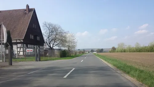
Fischmaster IP-Services GmbH
Restaurant · Fish · 3.9 km
Restaurant, Biergarten & Zanderstube im Sommer, Flappland-Zelt und Winterwald in der Zanderstube im Winter, Hochzeiten, Familienfeiern,...
38 Niersteiner Straße, Trebur
"unterschiedliche Öffnungszeiten für alle Bereiche"
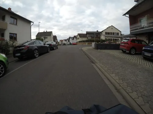
Hotel Weinhaus Wiedemann
Restaurant · German · 6.2 km
31 Frankfurter Straße, Ginsheim-Gustavsburg
Mo-Fr, Su 11:30-14:00, 17:00-21:00; Sa 17:00-21:00

Rüsseler Flames
Restaurant · Indian · 5.9 km
Original indisch-pakistanisches Tandoori Restaurant
10 Stahlstraße, Rüsselsheim am Main
Mo-Fr 11:30-14:30,17:30-22:30; Tu off; Sa,Su 10:00-14:30,18:30-22:30
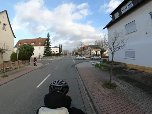
Akropolis
Restaurant · Greek, German · 3.7 km
40 Unter der Muschel, Nauheim
Tu-Sa,Su,PH 11:30-14:00,17:00-24:00
Altes Gericht
Restaurant · German · 5.7 km
31 Darmstädter Straße, Groß-Gerau
Mo,We-Th 17:00-23:00; Fr-Sa 17:30-24:00; Su 16:00-22:00
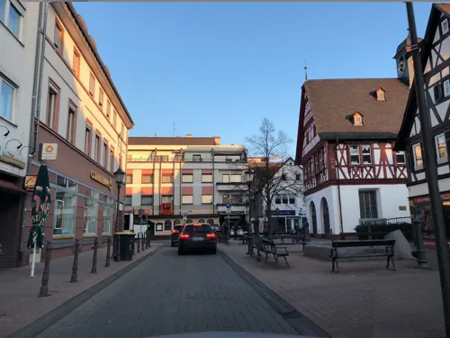
Da Nico
Restaurant · Pizza · 5.3 km
14 Frankfurter Straße, Groß-Gerau
Su-Fr 17:30-22:15, Mo-Fr 11:00-14:00
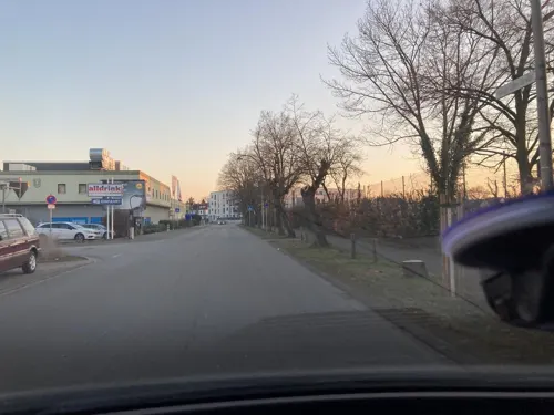
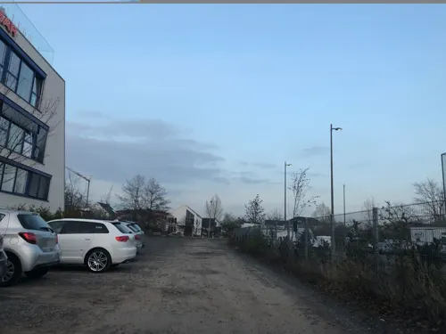
Freeway American Restaurant
Restaurant · Burger, American · 5.7 km
6 Lise-Meitner-Straße, Rüsselsheim am Main
Mo-Th 16:30-00:00, Fr-Sa 16:30-01:00, Su 12:00-23:00
Gaststätte Turnerheim
Restaurant · German · 6.0 km
30 Stockstraße, Rüsselsheim am Main
Mo-Fr 18:00-24:00; We off; Su 10:00-20:00
Hessischer Hof
Restaurant · German, Greek · 3.6 km
37 Bahnhofstraße, Nauheim
Mo-Sa 17:00-23:00; Su,PH off
La Terrazza
Restaurant · German, Italian · 3.7 km
75 Am Schlag, Groß-Gerau
11:30-21:00; Sa off "Samstags gerne auf Anfrage"
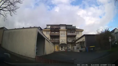


Lang Xua
Restaurant · Vietnamese · 5.3 km
37 Im Reis, Rüsselsheim am Main
Mo-Su 11:30-15:00,17:00-22:00
161 more on the map.
History
Trebur's first documentary mention came in 829 in one of King Louis the Pious's documents. Since the 9th century, a Pfalz, or Imperial Palace, has stood in Trebur. It arose from a royal court with an extensive taxation region, to which belonged, among other places, the constituent community of Astheim. Between 829 and 1077, 57 kingly stays are known to have taken place, a few of which are notable in the Empire's history. The Council of Tribur was held in this city in May 895. King Henry IV was especially strongly connected to Trebur. He was elected King here in 1053, and he also wed here in 1066. In 1076 he was forced by opposing princes at the Fürstentag in Trebur to settle his conflict with the Pope, which gave rise to Henry's "Walk to Canossa".
Trebur subsequently lost its importance as a royal court. Other than the anti-king (Gegenkönig) Rudolf of Rheinfeld, no other king ever visited the Pfalz again. Together with the Pfalz, Trebur was pledged to the County of Katzenelnbogen in 1248. The pledge was never honoured, and the Counts managed to acquire further sovereign rights in 1422. The Katzenelnbogen inheritance passed along with Trebur to the Landgraviate of Hesse in 1479.
Together with Astheim and Geinsheim, Trebur became part of the Hessian Amt of Dornberg, from which arose in 1932 the Groß-Gerau district.
From the History section of Trebur on Wikipedia, under CC BY-SA 4.0.
Where to stay23
DORMERO Hotel Rüsselsheim Airport-Frankfurt
Motel and hotel · 6.2 km
54 Eisenstraße, Rüsselsheim am Main
Michel Hotel Rüsselsheim Frankfurt Airport
Motel and hotel · 5.7 km
6-8 Eisenstraße, Rüsselsheim am Main
Churches and places of worship37
Dietrich-Bonhoeffer-Kirche
Church · Protestant · 5.1 km
1-3 Oppenheimer Straße, Trebur
Evangelische Kirche Wallerstädten
Church · Protestant · 4.0 km
1 Johann-Peter-Hehl-Straße, Groß-Gerau
Shopping45
Gas and EV charging15
Schools, colleges and libraries27
Healthcare17
Böllensee Apotheke
Clinic and pharmacy · 6.1 km
18 Wilhelm-Sturmfels-Straße, Rüsselsheim am Main
Map of Trebur
250 places. The map loads OpenStreetMap tiles when you open it.
Getting there and nearby towns
Wiesbaden Army Airfield (WIE) is the nearest airport with scheduled flights listed in OpenStreetMap, 15 km away.
- Mainz 11 km northwest, about 11 min by car
- Darmstadt 18 km east, about 18 min by car
- Wiesbaden 21 km northwest, about 21 min by car
- Frankfurt am Main 29 km northeast, about 29 min by car
- Offenbach 32 km northeast, about 32 min by car
- Hemsbach 41 km southeast, about 41 min by car
- Weinheim 46 km southeast, about 46 min by car
- Usingen 46 km north, about 46 min by car
- Mannheim 49 km south, about 49 min by car
- Ludwigshafen am Rhein 50 km south, about 50 min by car
Drive times are estimates from straight-line distance, not routes.
Local news
Headlines from INDB.
Reviews, tips and questions
Loading what members have shared...
Sources and licences
- GeoNames (CC BY 4.0): population, coordinates, regions and time zone
- Mapillary (see each image): photos
- OpenStreetMap contributors (ODbL 1.0): places, airports, map data
- Wikidata (CC0 1.0): elevation, founding date, time zone, website, landmarks and historic places
- Wikimedia Commons (see each image): photos
- Wikipedia (CC BY-SA 4.0): overview and history text
Photo credits
- Trebur Astheimer Str. - panoramio, Tomek Banaś, CC BY-SA 3.0
- Trebur St. Alban 20110420, Rudolf Stricker, Attribution
- Trebur, Kriegerdenkmal 1870-71-02, Muck, CC BY-SA 4.0
- Trebur, Kriegerdenkmal 1870-71-01, Muck, CC BY-SA 4.0
- Trebur Rathaus 20110122, Rudolf Stricker, Attribution
- Vertriebenendenkmal, 1, Trebur, Landkreis Groß-Gerau, GeorgDerReisende, CC BY-SA 4.0
- Trebur Altes Rathaus 20110122, Rudolf Stricker, Attribution
- Trebur, Stolperstein Erich Goldschmidt, Crazycracker44, CC BY-SA 4.0
- Trebur, Stolperstein Regina Goldschmidt, Crazycracker44, CC BY-SA 4.0
- Trebur, Stolperstein Ellen Goldschmidt, Crazycracker44, CC BY-SA 4.0
- Trebur, Stolperstein Flora Goldschmidt, Crazycracker44, CC BY-SA 4.0
- Trebur, Stolperstein Sidoni Hiffelsheimer, Crazycracker44, CC BY-SA 4.0
- Trebur, Stolperstein Lina Hiffelsheimer, Crazycracker44, CC BY-SA 4.0
- Museum Trebur, Ben Benzin, CC BY-SA 4.0
- Trebur, Stolperstein Julius Levy, Crazycracker44, CC BY-SA 4.0
- Trebur, Stolperstein Jakob Joseph Hayum, Crazycracker44, CC BY-SA 4.0
- Trebur, Stolperstein Betty Hayum, Crazycracker44, CC BY-SA 4.0
- Trebur, Stolperstein Gustav Rosenbaum, Crazycracker44, CC BY-SA 4.0
- Trebur, Stolperstein Flora Rosenbaum, Crazycracker44, CC BY-SA 4.0
- Trebur, Stolperstein Carl Levy, Crazycracker44, CC BY-SA 4.0
- Trebur, Stolperstein Alex Levy, Crazycracker44, CC BY-SA 4.0
- Trebur, Stolperstein Emilie Levy, Crazycracker44, CC BY-SA 4.0
- Trebur - stara pompa - panoramio, Tomek Banaś, CC BY-SA 3.0
- IMG Eiche in Trebur, Bunitz, CC BY-SA 4.0
- Trebur Ewangelicki Kościółek - panoramio, Tomek Banaś, CC BY-SA 3.0
- Trebur Laurentiuskirche 20110122, Rudolf Stricker, Attribution
- ND Eiche am Schwarzbachdamm, 1, Trebur, Landkreis Groß-Gerau, GeorgDerReisende, CC BY-SA 4.0
- Gemeinde Trebur RP RheinMain, Michfaber, CC BY 4.0
- Bauschheim evangelische Kirche 20110407, Rudolf Stricker, Attribution
- Laurentiuskirche vom Schwarzbach-Trebur, Phgffm, CC BY-SA 3.0
- Groß Gerau Rathaus 363-f, Pedelecs, CC BY-SA 3.0
- Gross Gerau Stadtkirche 01, Armin Kübelbeck -- Kuebi 08:27, 17 May 2007 (UTC), CC BY-SA 3.0
- Geinsheim Dietrich-Bonhoeffer-Kirche 20110122, Rudolf Stricker, Attribution
- Wallerstädten evangelische Kirche 20110415, Rudolf Stricker, Attribution
- Nackenheimer Bergkapelle 2, Stefan Bauer, CC BY-SA 4.0
- St. Josef Rüsselsheim, Carl Möller, CC BY-SA 4.0
- Synagoge gg 19 gedenken, Hgvoosm, CC BY-SA 4.0
- Stolperstein alfred mattes, Hgvoosm, CC BY-SA 4.0
- Stolperstein arnold mattes, Hgvoosm, CC BY-SA 4.0
- Naturschutzgebiet Rothenberg, Karsten Ratzke, CC0
- Stadtkirche gg, Hgvoosm, CC BY-SA 4.0
- Synagoge gg 19, Hgvoosm, CC BY-SA 4.0
- Groß-Gerau parko Fasanerie 3, Thomas Pusch, CC BY-SA 4.0
- Insel Sändchen - Nackenheim, PM3, CC BY-SA 4.0
- Martin-Buber-Schule Gross-Gerau, Zornfalke ( Zornfalke ( talk )), CC BY-SA 3.0
- Stolperstein Alice Oppenheimer, 1, Mainzer Straße 7, Groß-Gerau, Landkreis Groß-Gerau, GeorgDerReisende, CC BY-SA 4.0
- Street-level photo, wegavision, CC BY-SA 4.0
- Street-level photo, mfa, CC BY-SA 4.0
- Street-level photo, chuck, CC BY-SA 4.0
- Street-level photo, Planungsgesellschaft_RV-K_MB, CC BY-SA 4.0
- Street-level photo, chuck, CC BY-SA 4.0
- Street-level photo, robffm, CC BY-SA 4.0
- Street-level photo, robffm, CC BY-SA 4.0
- Street-level photo, robffm, CC BY-SA 4.0
- Street-level photo, curtisnewton, CC BY-SA 4.0
- Street-level photo, chuck, CC BY-SA 4.0
- Street-level photo, chuck, CC BY-SA 4.0
- Street-level photo, chuck, CC BY-SA 4.0
- Street-level photo, chuck, CC BY-SA 4.0
- Street-level photo, teddy73, CC BY-SA 4.0
- Street-level photo, miguel_andrade, CC BY-SA 4.0
- Street-level photo, chuck, CC BY-SA 4.0
- Street-level photo, teddy73, CC BY-SA 4.0
- Street-level photo, teddy73, CC BY-SA 4.0
- Street-level photo, wegavision, CC BY-SA 4.0
- Street-level photo, chuck, CC BY-SA 4.0
- Street-level photo, chuck, CC BY-SA 4.0
- Street-level photo, chuck, CC BY-SA 4.0
- Street-level photo, chuck, CC BY-SA 4.0
- Street-level photo, chuck, CC BY-SA 4.0


Page built November 8, 2026. Spotted a mistake? Tell us or suggest a place.