


Laichingen, Germany
Laichingen is a town of 10,853 people in Baden-Wurttemberg, Germany.
Why visit Laichingen
Townapedia lists 24 museums and landmarks, 14 parks and trails, 70 places to eat, 11 places to stay and 13 attractions in and around town.
Highlights include Heroldstatt-Turm, Bauernhofladen Länge, Sontheimer Höhle and Gedenkstein für getötete Fliegersoldaten zwischen Laichingen und Hohenstadt.
Weather in Laichingen
Forecast from MET Norway (CC BY 4.0). Full forecast
About Laichingen
Laichingen (German pronunciation: [ˈlaɪçɪŋən] ) is a town in the district of Alb-Donau near Ulm in Baden-Württemberg, Germany. It has 10,964 inhabitants (2005).
From the Wikipedia article Laichingen (this version), under CC BY-SA 4.0.
Things to do13


Bauernhofladen Länge
Farm and orchard
78 Weite Straße, Laichingen
Mo-Sa 07:00-19:00



1 more on the map.
Museums and landmarks24


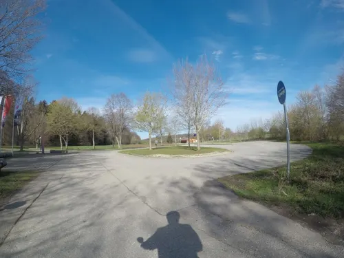
Gedenkstein für getötete Fliegersoldaten zwischen Laichingen und Hohenstadt
Monument and historic site · 2.9 km




12 more on the map.
Parks, trails and playgrounds14

Pony & Märchenpark Zwergental
Sports field and stadium · 4.0 km
1 Beim Ponyhof, Laichingen
PH,Mo-Su 09:00-18:00




2 more on the map.
Restaurants and cafes70
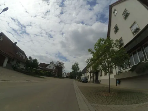
Gasthof-Hotel Zum Ochsen
Restaurant · Regional · 6.2 km
14 Blaubeurer Straße, Berghülen
Mo 17:00-22:00; Tu-Su 11:30-22:00
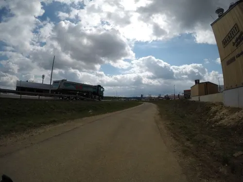
H-Albzeit
Restaurant · German, Regional · 6.1 km
Markthalle mit Bäckerei, Metzgerei und Gastronomiekonzept. Unsere Küche ist täglich bis 19.30 Uhr für Sie geöffnet.
25 Nellinger Straße, Merklingen
Mo-Sa 06:00-20:00; Su,PH 08:00-20:00
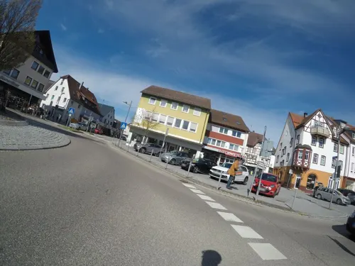
Café BeckaBeck
Cafe · Breakfast, Cake, Pastry
1 Marktplatz, Laichingen
Mo-Fr 06:00-18:30; Sa 06:00-17:00; Su,PH 07:30-17:30

Gasthaus Ochsen Taverne Hellas
Restaurant · Greek
1 Im Bussen, Laichingen
Tu-Sa 11:30-13:45, 17:30-23:00; Su,PH 11:30-15:00, 17:00-21:00; Mo off
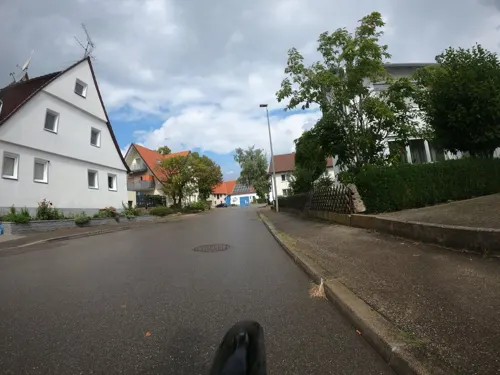
Pizzeria Engel
Restaurant · Italian · 6.0 km
1 Brunnenstraße, Heroldstatt
We-Sa 17:00-23:00; Su,PH 17:00-21:00
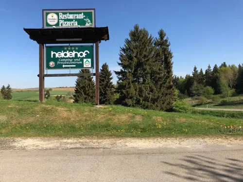
Restaurant Heidehof
Restaurant · Italian · 4.6 km
46 Heidehofstraße
We-Fr,Su,Mo,PH 11:00-14:00,17:00-23:00, Sa 11:00-14:00,17:00-24:00
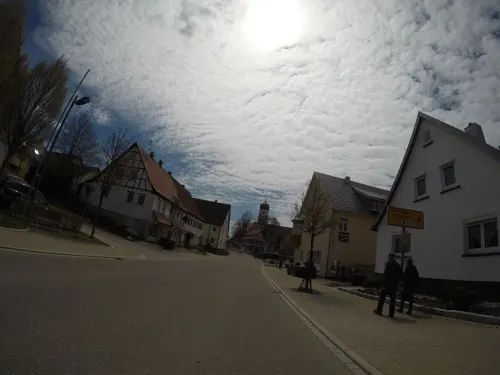
Restaurant Tria
Restaurant · Greek, Italian, German · 5.4 km
1 Hirschgasse, Westerheim
Tu-Fr 11:00-14:00,17:00-23:00; Sa-Su 11:00-23:00
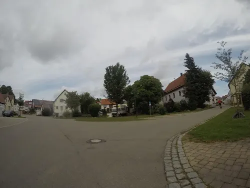
Albbäckerei Wörz
Cafe · 4.6 km
53 Lange Straße, Laichingen
Tu-Fr 06:00-18:00; Sa 06:00-12:00; Su 07:30-10:30; PH off


Brotuktion
Bakery · 4.4 km
99 Lange Straße, Laichingen
Mo 06:00-12:00, Fr 13:00-18:30, Sa 06:00-12:00, Su 07:00-10:30
58 more on the map.
History
In 1364 offered Charles IV, Holy Roman Emperor the town privileges to the population, these however rejected, allegedly because they did not want to build any walls.
The tradition of Laichingen linen weaving goes back until the Middle Ages. The poor soils on the Alb gave only small harvests, and so the inhabitants have relied on the growing of flax and the trade with the town of Ulm. One of the in 1677 built weber houses stood in Laichingen till 2002. It was dismantled and rebuilt and can now be visited in the open air museum in Beuren.
From 1871, the water supply for the Swabian Jura was planned and built, also Laichingen was connected.
Laichingen came to the Münsingen district in 1938. In 1945 the town became part of the French occupation zone and in 1947, it was assigned to the newly founded state of Württemberg-Hohenzollern, which was incorporated in the state of Baden-Württemberg in 1952.
In the course of the reform of the municipal area in Baden-Württemberg, Suppingen on January 1, 1972, Feldstetten and Machtolsheim on January 1, 1975, became parts of the city of Laichingen.
From the History section of Laichingen on Wikipedia, under CC BY-SA 4.0.
Where to stay11
Churches and places of worship26
Sankt-Albans-Kirche (Evang. Landeskirche)
Church · Protestant
65 Weite Straße, Laichingen
St. Margaretha
Church · Roman Catholic · 6.4 km
2 Kirchgasse, Hohenstadt
Zu den Heiligen Drei Königen
Church · Protestant · 5.7 km
4 Kirchgasse, Merklingen
Kirche für Dich Volksmission e.V. Laichingen
Church · Pentecostal · 1.0 km
4 Albstraße, Laichingen
Shopping13
Gas and EV charging15
Schools, colleges and libraries20
Kaufmännische Schule Ehingen, Außenstelle Wirtschaftsschule Laichingen
School · 1.0 km
67 Henzenbuch, Laichingen
Healthcare5
Apotheke Westerheim
Clinic and pharmacy · 5.4 km
9 Wiesensteiger Straße, Westerheim
Map of Laichingen
211 places. The map loads OpenStreetMap tiles when you open it.
Getting there and nearby towns
Manfred Rommel Airport Stuttgart (STR) is the nearest airport with scheduled flights listed in OpenStreetMap, 41 km away.
- Münsingen 16 km southwest, about 16 min by car
- Bad Urach 21 km west, about 21 min by car
- Süßen 22 km north, about 22 min by car
- Ulm 25 km southeast, about 25 min by car
- Uhingen 25 km north, about 25 min by car
- Nürtingen 30 km northwest, about 30 min by car
- Metzingen 30 km west, about 30 min by car
- Wendlingen am Neckar 30 km northwest, about 30 min by car
- Wernau 30 km northwest, about 30 min by car
- Plochingen 31 km northwest, about 31 min by car
Drive times are estimates from straight-line distance, not routes.
Local news
Headlines from INDB.
Reviews, tips and questions
Loading what members have shared...
Sources and licences
- GeoNames (CC BY 4.0): population, coordinates, regions and time zone
- Mapillary (see each image): photos
- OpenStreetMap contributors (ODbL 1.0): places, airports, map data
- Wikidata (CC0 1.0): elevation, founding date, time zone, website
- Wikimedia Commons (see each image): photos
- Wikipedia (CC BY-SA 4.0): overview and history text
Photo credits
- Laichingen, Ich EDPJ, CC BY-SA 4.0
- Lipowitz Helm Laichingen, JuergenL, CC BY 4.0
- Laichingen, stadhuis Dm1210713 IMG 8797 2025-08-13 09.15, Michielverbeek, CC BY-SA 3.0 de
- Laichingen, café bistro Linde IMG 8821 2025-08-14 09.56, Michielverbeek, CC BY 4.0
- 89150 Laichingen Heiligenhäuser mit Zeughaus (um 1560), Uwe Barghaan, CC BY-SA 4.0
- Laichingen, Weberei- und Heimatmuseum Dm1190868 met op de achtergrond de evangelische Pfarrkirche (Sankt Alban) Dm 1210709 IMG 8794a 2025-08-12 16.09, Michielverbeek, CC BY-SA 3.0 de
- Laichingen, evangelische Pfarrkirche Sankt Alban Dm1210709 IMG 8805 2025-08-14 09.39, Michielverbeek, CC BY 4.0
- D008-075, Jduckeck, CC0
- Heroldstatt - Tropfsteinwelt Sontheimer Höhle, Franzfoto, CC BY-SA 3.0
- Wasserturm in Machtolsheim, Dr. Eugen Lehle, CC BY-SA 3.0
- NSG HeidenImLangenTal, Gmbu, CC BY-SA 4.0
- 2016-01-26-Laichingen-026, Barockspot, CC BY-SA 4.0
- NSG Kuhberg, Gmbu, CC BY-SA 4.0
- NSG 4.217 Galgenberg bei Laichingen, DieAnderswelt, CC BY-SA 4.0
- Berghulen, Ev. Kirche, Orgel (18), Subbass1, CC BY-SA 4.0
- Hohenstadt Kirche, Unknown author, CC BY-SA 3.0
- Merklingen Kirchgasse - panoramio, Richard Mayer, CC BY 3.0
- Cosmas- und Damiankirche Ennabeuren, Dr. Eugen Lehle, CC BY-SA 3.0
- Westerheim, Kirche Sankt Stephanus Dm112799008 IMG 8873 2025-08-14 13.38, Michielverbeek, CC BY-SA 3.0 de
- Beobachtungsturm Heroldstatt, Heini Woldschläger, CC BY-SA 3.0
- Gedenkstein für getötete Fliegersoldaten zwischen Laichingen und Hohenstadt I, Reutlingendorf, CC BY-SA 4.0
- Sontheimer Höhle1, Thomasxb, CC BY-SA 3.0
- NSG Bleich Merklingen, Jiri Pivo, CC BY-SA 4.0
- ImGartengefunden-Wasistdas1, JuergenL, CC BY-SA 4.0
- ImGartengefunden-Wasistdas2, JuergenL, CC BY-SA 4.0
- Treppe Laichinger Tiefenhöhle HDR, ThoBel-0043, CC BY-SA 4.0
- Laichinger Tiefenhöhle im Juni 2017 03, RonRot, CC BY-SA 4.0
- Laichinger Tiefenhöhle im Juni 2017 04, RonRot, CC BY-SA 4.0
- Laichinger Tiefenhöhle im Juni 2017 01, RonRot, CC BY-SA 4.0
- Laichinger Tiefenhöhle im Juni 2017 02, RonRot, CC BY-SA 4.0
- Laichinger Tiefenhöhle im Juni 2017 05, RonRot, CC BY-SA 4.0
- Alblimes bei Drackenstein a, Thilo Parg, CC BY-SA 4.0
- Street-level photo, ray66, CC BY-SA 4.0
- Street-level photo, ray66, CC BY-SA 4.0
- Street-level photo, ray66, CC BY-SA 4.0
- Street-level photo, mynecker, CC BY-SA 4.0
- Street-level photo, ray66, CC BY-SA 4.0
- Street-level photo, plexi32, CC BY-SA 4.0
- Street-level photo, ray66, CC BY-SA 4.0
- Street-level photo, ray66, CC BY-SA 4.0
- Street-level photo, lin_wang, CC BY-SA 4.0
- Street-level photo, lin_wang, CC BY-SA 4.0
- Street-level photo, tst, CC BY-SA 4.0
- Street-level photo, ray66, CC BY-SA 4.0
- Street-level photo, ray66, CC BY-SA 4.0
- Street-level photo, plexi32, CC BY-SA 4.0
- Street-level photo, plexi32, CC BY-SA 4.0
- Street-level photo, TechniPorter, CC BY-SA 4.0
- Street-level photo, micmin1972, CC BY-SA 4.0
- Street-level photo, ray66, CC BY-SA 4.0
- Street-level photo, ray66, CC BY-SA 4.0
- Street-level photo, ray66, CC BY-SA 4.0
- Street-level photo, ray66, CC BY-SA 4.0
- Street-level photo, ray66, CC BY-SA 4.0
- Street-level photo, lin_wang, CC BY-SA 4.0


Page built November 8, 2026. Spotted a mistake? Tell us or suggest a place.