


Why visit Neuenhaus
Townapedia lists 11 museums and landmarks, 10 parks and trails, 22 places to eat, 5 places to stay and 6 attractions in and around town.
Highlights include Neegenberge, Poaschebarg - Historische Stätte, Wassermühle Lage and Brünas Heide.
Weather in Neuenhaus
Forecast from MET Norway (CC BY 4.0). Full forecast
About Neuenhaus
Neuenhaus (German pronunciation: [ˈnɔʏənˌhaʊs] ; Low German: Neenhuus) is a town in the district of Grafschaft Bentheim in Lower Saxony, and is the seat of a like-named collective municipality Neuenhaus. Neuenhaus lies on the rivers Dinkel and Vechte near the border with the Netherlands and is roughly 10 km northwest of Nordhorn, and 30 km north of Enschede.
From the Wikipedia article Neuenhaus (this version), under CC BY-SA 4.0.
Things to do6


Museums and landmarks11

Poaschebarg - Historische Stätte
Monument and historic site · 2.0 km
Https://www.neuenhaus.de/magazin/artikel.php?menuid=104&topmenu=253&artikel=411
wanderweg, Neuenhaus


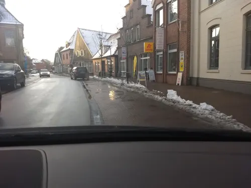
Kunstverein Grafschaft Bentheim
Museum
37 Hauptstraße, Neuenhaus
Mo-Fr 15:00-18:00; Sa 11:00-18:00
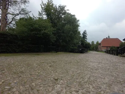

Windmühle Veldhausen
Monument and historic site · 3.1 km
17 Mozartstraße, Neuenhaus
Parks, trails and playgrounds10





Restaurants and cafes22

Bäckerei Konditorei Arends
Bakery · 3.2 km
8 Georgsdorfer Straße, Neuenhaus
Mo-Sa 06:00-12:30, Mo,We-Fr 14:00-18:00; Su 08:00-11:00
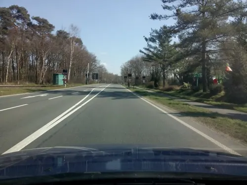
arends Backbar
Bakery · 3.9 km
3 Frensdorfer Straße, Neuenhaus
Mo-Fr 06:00-18:00; Sa 06:00-17:00; Su 08:00-17:00
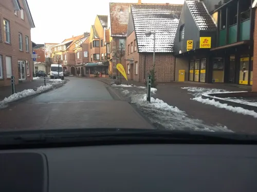
Restaurant Augenblick
Restaurant · International, Regional
66 Hauptstraße, Neuenhaus
We-Su 18:00+; Mo-Tu off
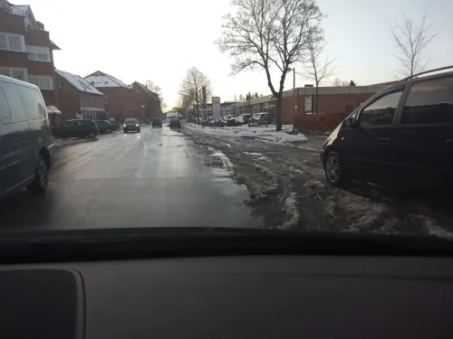
Deutsches Haus
Restaurant · German
19 Hauptstraße, Neuenhaus
Mo-Sa 17:00-24:00; Tu off
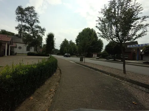

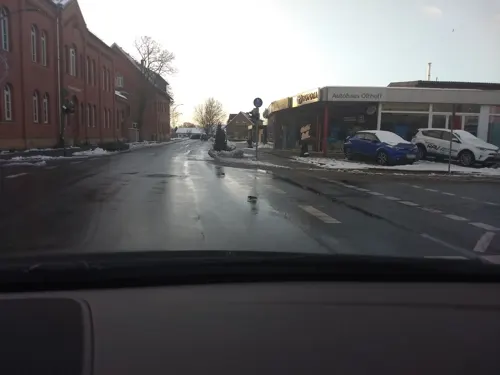
Bäckerei Arends
Bakery
10 Hauptstraße, Neuenhaus
Mo-Fr 06:00-18:00; Sa 06:00-12:30

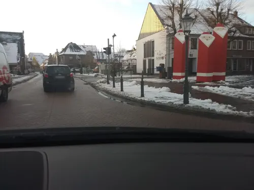


10 more on the map.
History
Neuenhaus was founded in 1317 on the trade road between Münster and Amsterdam by Bentheim’s Count Johannes II, who also had a castle built for its security. The quickly growing new town was granted town rights in 1369. The town had at its disposal an Amt court and other authorities that were moved to the district seat of Nordhorn after the Second World War. Today’s town of Neuenhaus was enlarged in 1970 through the amalgamation of the formerly autonomous communities of Grasdorf, Hilten and Veldhausen, the last of which had already existed as early as the 10th century. By building two weirs on the Vechte and another on the river Dinkel, the flooding that had so often beset Neuenhaus in earlier years was brought under control.
The main street through Neuenhaus’s inner town has been dismantled since 2005 after a southwest bypass was built around the town.
Many old Ackerbürgerhäuser (roughly "gentleman farmers’ houses") have been or are being renovated.
The town's cycling paths are well signposted (a roughly 250 km network throughout the district) and lead through meadows and woods as well as alongside the rivers Vechte and Dinkel. Furthermore, the local gymnastic and sport club (known locally as the "TuS", for "Turn- und Sportverein"), is celebrating its 100-year jubilee.
From the History section of Neuenhaus on Wikipedia, under CC BY-SA 4.0.
Where to stay5
Churches and places of worship6
Shopping12
Gas and EV charging6
Schools, colleges and libraries4
Healthcare4
Map of Neuenhaus
86 places. The map loads OpenStreetMap tiles when you open it.
Getting there and nearby towns
Münster Osnabrück Airport (FMO) is the nearest airport with scheduled flights listed in OpenStreetMap, 63 km away.
- Gölenkamp 4 km northwest, about 4 min by car
- Esche 5 km north, about 5 min by car
- Uelsen 6 km west, about 6 min by car
- Nordhorn 10 km southeast, about 10 min by car
- Hoogstede 9 km north, about 9 min by car
- Wilsum 9 km northwest, about 9 min by car
- Wietmarschen 12 km east, about 12 min by car
- Münster 75 km southeast, about 1 h 15 min by car
- Osnabrück 78 km east, about 1 h 15 min by car
- Ostrhauderfehn 84 km northeast, about 1 h 30 min by car
Drive times are estimates from straight-line distance, not routes.
Local news
Headlines from INDB.
Reviews, tips and questions
Loading what members have shared...
Sources and licences
- GeoNames (CC BY 4.0): population, coordinates, regions and time zone
- Mapillary (see each image): photos
- OpenStreetMap contributors (ODbL 1.0): places, airports, map data
- Wikidata (CC0 1.0): elevation, founding date, time zone, website
- Wikimedia Commons (see each image): photos
- Wikipedia (CC BY-SA 4.0): overview and history text
Photo credits
- Neuenhaus42014 2, Nordhörnchen, CC BY-SA 4.0
- Brünas Heide Heidelandschaft 2, Crademaker, CC BY-SA 4.0
- Burg Lage, Unknown author Unknown author, Public domain
- Neuenhaus - kath. Kirche Mariä Himmelfahrt, Heribert Duling (Famduling), CC BY-SA 4.0
- Die Motte Grasdorf oder Osterberg, Castritus, CC BY-SA 4.0
- Reformierte Kirche Lage 2010 S, Knightriderfan, CC BY-SA 4.0
- Kirche Veldhausen, Famduling ( Diskussion ), CC BY-SA 3.0
- Neuenhaus kirche reformiert 2013, Dinkelberg43, CC BY-SA 3.0
- 42004702 Veldhausen altreformierte Kirche, Dennis Wubs, CC BY-SA 3.0
- Neuenhaus-kirche-lutherisch-2013, Dinkelberg43, CC BY-SA 3.0
- WassermuehleLage, Stefan Kunzmann, CC BY-SA 3.0
- Burgruine Lage Dinkel Westen 2006, Knightriderfan, CC BY-SA 3.0
- Spöllberg, Wieland Teixeira, CC BY-SA 4.0
- Street-level photo, brunsben, CC BY-SA 4.0
- Street-level photo, geogast, CC BY-SA 4.0
- Street-level photo, schalke_05, CC BY-SA 4.0
- Street-level photo, schalke_05, CC BY-SA 4.0
- Street-level photo, schalke_05, CC BY-SA 4.0
- Street-level photo, ankeric, CC BY-SA 4.0
- Street-level photo, schalke_05, CC BY-SA 4.0
- Street-level photo, schalke_05, CC BY-SA 4.0
- Street-level photo, schalke_05, CC BY-SA 4.0
- Street-level photo, brunsben, CC BY-SA 4.0
- Street-level photo, brunsben, CC BY-SA 4.0
- Street-level photo, schalke_05, CC BY-SA 4.0
- Street-level photo, schalke_05, CC BY-SA 4.0
- Street-level photo, schalke_05, CC BY-SA 4.0
- Street-level photo, brunsben, CC BY-SA 4.0
- Street-level photo, ankeric, CC BY-SA 4.0


Page built November 8, 2026. Spotted a mistake? Tell us or suggest a place.