


Ostrhauderfehn, Germany
Ostrhauderfehn is a town of 10,699 people in Lower Saxony, Germany.
Why visit Ostrhauderfehn
Townapedia lists 27 museums and landmarks, 14 parks and trails, 63 places to eat, 8 places to stay and 1 attraction in and around town.
Highlights include Biolandhof Freese, Fehn- und Schiffahrtsmuseum (Villa Graepel), Windmühle Hahnentange in Westrhauderfehn and Bootsanleger Wassersportverein Elisabethfehn e.V..
Weather in Ostrhauderfehn
Forecast from MET Norway (CC BY 4.0). Full forecast
About Ostrhauderfehn
Ostrhauderfehn is a municipality in the Leer district of Lower Saxony, Germany.
From the Wikipedia article Ostrhauderfehn (this version), under CC BY-SA 4.0.
Things to do1

Biolandhof Freese
Farm and orchard · 2.9 km
30 Batzenweg, Rhauderfehn
Mo,Tu 14:30-17:30; We-Fr 08:00-12:00, 14:30-17:30; PH off
Museums and landmarks27

Fehn- und Schiffahrtsmuseum (Villa Graepel)
Museum · 3.2 km
Fehn- und Schiffahrtsmuseum Westrhauderfehn in der Villa Graepel
5 Rajen, Rhauderfehn
We,Th,Fr,Su 11:00-17:00

Windmühle Hahnentange in Westrhauderfehn
Monument and historic site · 4.7 km
207 1. Südwieke, Rhauderfehn


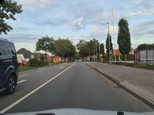
Klotzi
Monument and historic site · 0.6 km
Ein über Instagram verbreitetes meme, ein Gesicht aufgemalt auf einen Stromkasten / Schaltzentrale für die Ampel, als Protest gegen die...
Windmühle Idafehn
Monument and historic site · 1.2 km
Funktionsfähiger zweigeschossiger Galerieholländer auf Backsteinachteck, mit vier Segelgatterflügel, Steert und einem Schrotgang. Nach...

15 more on the map.
Parks, trails and playgrounds14

Bootsanleger Wassersportverein Elisabethfehn e.V.
Marina and boat launch · 4.6 km

Juurebierich / Ramsloh
Playground · 5.3 km
Mar Su[-1]-Oct Su[-1] -1 day: 08:00-21:00; Oct Su[-1]-Mar Su[-1]...
Poaters Koamp / Ramsloh
Playground · 5.1 km
Mar Su[-1]-Oct Su[-1] -1 day: 08:00-21:00; Oct Su[-1]-Mar Su[-1]...
Steensberg / Ramsloh
Playground · 5.5 km
Mar Su[-1]-Oct Su[-1] -1 day: 08:00-21:00; Oct Su[-1]-Mar Su[-1]...


2 more on the map.
Restaurants and cafes63
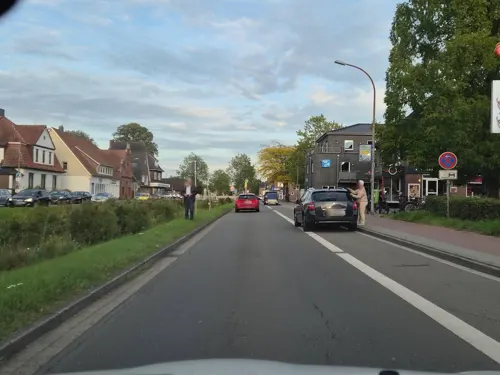
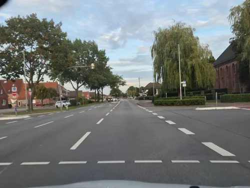

Café am Siel
Cafe · 2.1 km
6A Am Siel, Rhauderfehn
Apr-Sep PH,Mo-Su 09:00-18:00; Oct-Mar PH,Tu-Su 09:00-18:00
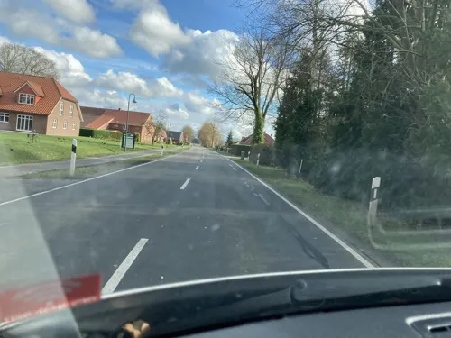
De Holter Wienkeller
Restaurant · 4.5 km
Tu 14:00-18:00;Th,Fr 17:00-22:00;Sa 14:00-22:00;Su,PH 10:00-18:00

Hoppmann
Bakery · 0.7 km
48 Hauptstraße, Ostrhauderfehn
Mo-Fr 08:00-19:00; Sa 08:00-18:00; Su 08:00-11:00

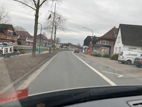
Asia Restaurant Fang
Restaurant · Chinese · 2.2 km
1 Am Deich, Rhauderfehn
PH,Tu-Su 12:00-15:00,17:30-22:00; Mo off
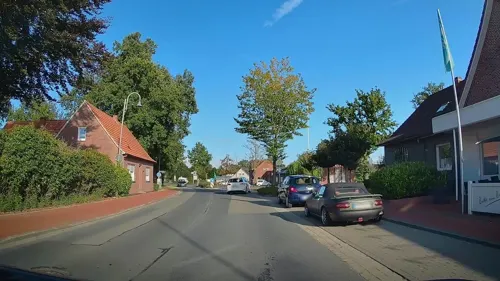


Bistro Cappuccino
Restaurant · 3.9 km
24 Bahnhofstraße, Saterland
Mo-Sa 16:00-01:00, Su 12:00-24:00
Kloster-Café Bokelesch
Cafe · Cake, Tea, Pastry, Coffee Shop · 4.0 km
6 Johanniterstraße, Saterland
Apr-May We-Su 14:00-17:00; Jun-Aug We-Su 14:00-17:00; Sep-Oct...
51 more on the map.
Where to stay8
Churches and places of worship16
St. Bonifatius
Church · Roman Catholic · 4.4 km
7 Kirchstraße, Rhauderfehn
Sankt-Martin-Kirche
Church · Lutheran · 5.1 km
16 Potshauser Straße, Ostrhauderfehn
Johanniterkapelle Bokelesch
Place of worship · 4.0 km
6A Johanniterstraße, Saterland
Kapelle Kirchengemeinde Ostrhauderfehn
Church · Lutheran · 2.6 km
223 Schifferstraße, Ostrhauderfehn
Shopping28
Gas and EV charging5
Schools, colleges and libraries15
Kath. öffentl. Bücherei St. Georg Strücklingen
Library · 3.5 km
2b Kolpingstraße, Saterland
Haupt- und Realschule Ostrhauderfehn
School · 0.8 km
155 Hauptstraße, Ostrhauderfehn
Healthcare5
Map of Ostrhauderfehn
182 places. The map loads OpenStreetMap tiles when you open it.
Getting there and nearby towns
Flugplatz Varrelbusch (VAC) is the nearest airport with scheduled flights listed in OpenStreetMap, 38 km away.
- Detern 9 km north, about 9 min by car
- Barßel 9 km east, about 9 min by car
- Filsum 12 km north, about 12 min by car
- Nortmoor 12 km north, about 12 min by car
- Bockhorst 12 km south, about 12 min by car
- Leer 15 km northwest, about 15 min by car
- Oldenburg 40 km east, about 40 min by car
- Wietmarschen 76 km southwest, about 1 h 15 min by car
- Bremen 80 km east, about 1 h 15 min by car
- Bremerhaven 78 km northeast, about 1 h 15 min by car
Drive times are estimates from straight-line distance, not routes.
Local news
Headlines from INDB.
Reviews, tips and questions
Loading what members have shared...
Sources and licences
- GeoNames (CC BY 4.0): population, coordinates, regions and time zone
- Mapillary (see each image): photos
- OpenStreetMap contributors (ODbL 1.0): places, airports, map data
- Wikidata (CC0 1.0): elevation, founding date, time zone, website
- Wikimedia Commons (see each image): photos
- Wikipedia (CC BY-SA 4.0): overview and history text
Photo credits
- Potshausen, Sankt Martinkirche foto3 2010-05-16 14.30, Michielverbeek, CC BY-SA 3.0
- Kirchstraße 4, Ostrhauderfehn, Pfarrhaus, Steintrinker, CC BY-SA 4.0
- ChurchPotshausen, Frisia Orientalis, CC BY-SA 3.0
- Rhauderfehn - Untenende + Westrhauderfehnkanal + Hoffnungskirche 04 ies, Frank Vincentz, CC BY-SA 3.0
- ChurchOstrhauderfehn, Frisia Orientalis, CC BY-SA 3.0
- Rhauderfehn Rhaude - Dorfstraße - Kirche + Friedhof 05 ies, Frank Vincentz, CC BY-SA 3.0
- Rhauderfehn - Kirchstraße - St. Bonifatius 01 ies, Frank Vincentz, CC BY-SA 3.0
- ChurchLangholtEv, Frisia Orientalis, CC BY-SA 3.0
- Bokelesch Johanniterkapelle (12), Wikiwal, CC BY 4.0
- Sankt-Jakobus-Kirche in Ramsloh, Volker.Ramsloh, CC BY-SA 4.0
- St. Georg-Kirche zu Strücklingen, Volker.Ramsloh, CC BY-SA 3.0
- Rhauderfehn - Rhauderwieke - 3 - Stolpersteine Gumpertz, Hermann 01 ies, Frank Vincentz, CC BY-SA 3.0
- Rhauderfehn - Rhauderwieke - 3 - Stolpersteine Gumpertz, Adele 01 ies, Frank Vincentz, CC BY-SA 3.0
- Rhauderfehn - Rhauderwieke - 3 - Stolpersteine Gumpertz, Helene 01 ies, Frank Vincentz, CC BY-SA 3.0
- Rhauderfehn - Rhauderwieke - 3 - Stolpersteine Gumpertz, Beate 01 ies, Frank Vincentz, CC BY-SA 3.0
- Johanniterkapelle Bokelesch638, Matthias Süßen, CC BY 3.0
- Rhauderfehn - Rajen + 5Museum + Villa Graepel 02 ies, Frank Vincentz, CC BY-SA 3.0
- Mühle in Idafehn - panoramio, Jürgen Jester, CC BY-SA 3.0
- West Rhauderfehn Hafen - panoramio, Jürgen Jester, CC BY-SA 3.0
- Rhauderfehn am Hafen - panoramio, Jürgen Jester, CC BY-SA 3.0
- Street-level photo, hotteliene, CC BY-SA 4.0
- Street-level photo, hotteliene, CC BY-SA 4.0
- Street-level photo, klaas130, CC BY-SA 4.0
- Street-level photo, hotteliene, CC BY-SA 4.0
- Street-level photo, hotteliene, CC BY-SA 4.0
- Street-level photo, klaas130, CC BY-SA 4.0
- Street-level photo, hotteliene, CC BY-SA 4.0
- Street-level photo, hotteliene, CC BY-SA 4.0
- Street-level photo, hendel, CC BY-SA 4.0
- Street-level photo, hendel, CC BY-SA 4.0
- Street-level photo, klaas130, CC BY-SA 4.0
- Street-level photo, hotteliene, CC BY-SA 4.0


Page built November 8, 2026. Spotted a mistake? Tell us or suggest a place.