


Pommelsbrunn, Germany
Pommelsbrunn is a town of 5,432 people in Bavaria, Germany, founded in 2010.
Why visit Pommelsbrunn
Townapedia lists 11 museums and landmarks, 1 park or trail, 10 places to eat, 1 place to stay and 21 attractions in and around town.
Highlights include Zankelstein, Houbirg, Badhaus and Doggerwerk in Happurg.
Weather in Pommelsbrunn
Forecast from MET Norway (CC BY 4.0). Full forecast
About Pommelsbrunn
Pommelsbrunn station is a railway station in the municipality of Pommelsbrunn, located in the Nürnberger Land district in Middle Franconia, Germany. It is located on the Nuremberg–Schwandorf line of Deutsche Bahn. It is served by the S1 of the Nuremberg S-Bahn.
From the Wikipedia article Pommelsbrunn station (this version), under CC BY-SA 4.0.
Things to do21




9 more on the map.
Museums and landmarks11

Badhaus
Museum
Eintritt sm Automaten. Schlüssel im Gasthof Vogel
2 Dorschstraße
09:00-18:00

Doggerwerk in Happurg
Monument and historic site · 2.2 km
Cultural heritage monument in Landkreis Nürnberger Land, Bavaria, Germany



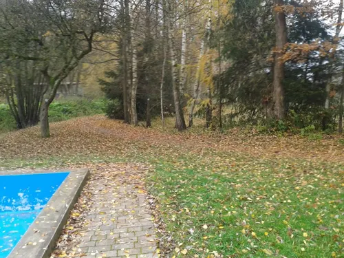
Parks, trails and playgrounds1

Restaurants and cafes10
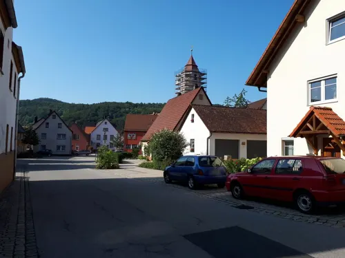


Biserni
Restaurant · 2.1 km
16 Happurger Straße, Pommelsbrunn
We-Mo,PH 11:00-14:00,17:00-22:00
Gasthof "Zur Waldesruh"
Restaurant · Regional · 1.9 km
2 Arzlohe, Pommelsbrunn

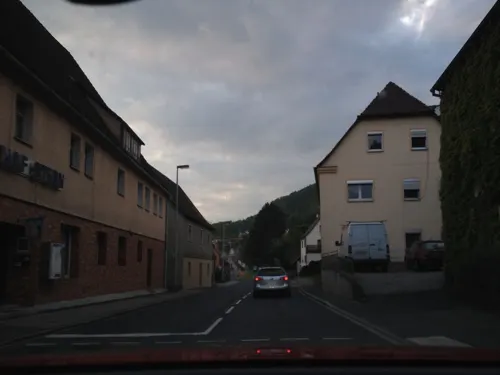


Pizzeria Missina
Fast food
1 Nürnberger Straße
Mo,Tu,Th,Su 11:00-22:00; Fr,Sa 11:00-23:00; We off

Where to stay1
Churches and places of worship4
Shopping3
Gas and EV charging1
Schools, colleges and libraries1
Healthcare3
Map of Pommelsbrunn
56 places. The map loads OpenStreetMap tiles when you open it.
Getting there and nearby towns
Albrecht Dürer Airport Nuremberg (NUE) is the nearest airport with scheduled flights listed in OpenStreetMap, 31 km away.
- Hersbruck 6 km west, about 6 min by car
- Lauf an der Pegnitz 17 km west, about 17 min by car
- Sulzbach-Rosenberg 17 km east, about 17 min by car
- Altdorf bei Nürnberg 17 km southwest, about 17 min by car
- Röthenbach an der Pegnitz 20 km west, about 20 min by car
- Burgthann 22 km southwest, about 22 min by car
- Neumarkt in der Oberpfalz 25 km south, about 25 min by car
- Amberg 26 km east, about 26 min by car
- Feucht 26 km southwest, about 26 min by car
- Nuremberg 32 km west, about 32 min by car
Drive times are estimates from straight-line distance, not routes.
Local news
Headlines from INDB.
Reviews, tips and questions
Loading what members have shared...
Sources and licences
- GeoNames (CC BY 4.0): population, coordinates, regions and time zone
- Mapillary (see each image): photos
- OpenStreetMap contributors (ODbL 1.0): places, airports, map data
- Wikidata (CC0 1.0): elevation, founding date, time zone, website, landmarks and historic places
- Wikimedia Commons (see each image): photos
- Wikipedia (CC BY-SA 4.0): overview and history text
Photo credits
- Haltepunkt Pommelsbrunn, Derzno, CC BY 3.0
- St. Laurentius (Pommelsbrunn), B14er, CC BY-SA 4.0
- Pommelsbrunn Orgelprospekt Hoessler, User:Regerman, CC BY-SA 3.0
- Kneipp-Anlage in Pommelsbrunn - panoramio, Siegmar S., CC BY-SA 3.0
- Pommelsbrunn-Ortsblick, B14er, CC BY-SA 4.0
- Doggerwerk 07, Derzno, CC BY-SA 3.0
- Burgstall-Altes-Haus-01, Sven-121, Public domain
- Happurg - 006, DALIBRI, CC BY-SA 4.0
- St. Rochus und St. Leonhard, B14er, CC BY-SA 4.0
- Hohler-Fels1,Happurg, Sven-121, Public domain
- Kirchplatz 5, Pommelsbrunn 20180716 006, Tilman2007, CC BY-SA 4.0
- Badhaus D-5-74-147-96 01, Derzno, CC BY 3.0
- Burgruine Lichtenstein - panoramio, Johannes Geiger, CC BY-SA 3.0
- Badhaus D-5-74-147-96 02, Derzno, CC BY 3.0
- Lichtenstein 01, Derzno, CC BY 3.0
- Burgstall Altes Haus 05, Sven-121, CC0
- Lichtenstein 02, Derzno, CC BY 3.0
- 2016 Weidenmühle (D-5-74-147-1) 01, Derzno, CC BY-SA 3.0
- 2016 Weidenmühle (D-5-74-147-1) 02, Derzno, CC BY-SA 3.0
- Högenbach an der Weidenmühle 2016-03-10 16.20.08, RicardoKnows, CC BY-SA 4.0
- Högenbach an der Weidenmühle 2016-03-10 16.19.50, RicardoKnows, CC BY-SA 4.0
- Arzloher Straße 7 Sogenannte Weidenmühle Mühlgraben D-5-74-147-1 2016-03-10 16.19.43, RicardoKnows, CC BY-SA 4.0
- 2016 Weidenmühle (D-5-74-147-1) 03, Derzno, CC BY-SA 3.0
- Bergrutsch Zankelstein 03, Derzno, CC BY-SA 3.0
- Lichtenstein 05, Derzno, CC BY 3.0
- Lichtenstein 04, Derzno, CC BY 3.0
- ISS038-E-55349 - View of Earth, Earth Science and Remote Sensing Unit , Lyndon B. Johnson Space Center, Public domain
- ISS038-E-55350 - View of Earth, Earth Science and Remote Sensing Unit , Lyndon B. Johnson Space Center, Public domain
- ISS006-E-7313 - View of Germany, Earth Science and Remote Sensing Unit , Lyndon B. Johnson Space Center, Public domain
- ISS038-E-59295 - View of Earth, Earth Science and Remote Sensing Unit , Lyndon B. Johnson Space Center, Public domain
- ISS046-E-21950 - View of Earth, Earth Science and Remote Sensing Unit , Lyndon B. Johnson Space Center, Public domain
- ISS046-E-22554 - View of Earth, Earth Science and Remote Sensing Unit , Lyndon B. Johnson Space Center, Public domain
- Lichtenstein 03, Derzno, CC BY 3.0
- Zankelstein 01, Derzno, CC BY-SA 3.0
- Street-level photo, bernd_niemann, CC BY-SA 4.0
- Street-level photo, bernd_niemann, CC BY-SA 4.0
- Street-level photo, geo, CC BY-SA 4.0
- Street-level photo, bernd_niemann, CC BY-SA 4.0


Page built November 9, 2026. Spotted a mistake? Tell us or suggest a place.