


Remscheid, Germany
Remscheid is a city of 117,118 people in North Rhine-Westphalia, Germany.
Why visit Remscheid
Townapedia lists 54 museums and landmarks, 40 parks and trails, 241 places to eat, 14 places to stay and 27 attractions in and around town.
Highlights include Teo Otto Theater, Film-Eck, Bismarckturm Remscheid and Dellmannstraße.
Weather in Remscheid
Forecast from MET Norway (CC BY 4.0). Full forecast
About Remscheid
Remscheid (German pronunciation: [ˈʁɛmʃaɪt] ) is a city in North Rhine-Westphalia, Germany. It is, after Wuppertal and Solingen, the third-largest municipality in Bergisches Land, being located on the northern edge of the region, on the south side of the Ruhr area.
From the Wikipedia article Remscheid (this version), under CC BY-SA 4.0.
Travel tips from other travellers: Remscheid on Wikivoyage (CC BY-SA 4.0).
Things to do27

Teo Otto Theater
Cinema and theater
Theatre in Remscheid, Germany
31-33 Konrad-Adenauer-Straße, Remscheid
Tu 10:00-14:00; We 10:00-14:00, 15:00-18:00; Th-Fr 10:00-14:00; Sa...


Kohlfurther Bridge
Bridge · 5.9 km
Bridge in Wuppertal – Kohlfurth / , Solingen – Kohlfurth


Opernhaus Wuppertal
Cinema and theater · 9.7 km
Opera house and theatre in Barmen, Wuppertal, Germany

Schauspielhaus Wuppertal
Cinema and theater · 8.8 km
Former municipal drama theatre in Elberfeld, Wuppertal, Germany
Thalia-Theater
Cinema and theater · 9.0 km
Former theatre in Elberfeld, Wuppertal, Germany

Theater in Cronenberg
Cinema and theater · 5.3 km
Theatre in Cronenberg, Wuppertal, Germany

Wuppertal Schwebebahn
Monument and historic site · 9.7 km
Suspension railway in Wuppertal, Germany


15 more on the map.
Museums and landmarks54

Bismarckturm Remscheid
Monument and historic site · 1.8 km
Dr.-Hans-Schäfer-Sternwarte
1 Herbert-Goerlich-Platz, Remscheid
We 19:30-21:00; Su 14:00-16:00 "bei gutem Wetter"
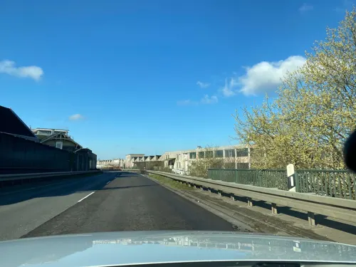


Müngstener Brückensteig
Monument and historic site · 4.6 km
Im Winter keine Führungen
Mo-Fr ||"nur auf Anfrage"; Sa-Su 10:00-18:00 ||"nur mit Vorabbuchung"

Die Gelbe Villa
Museum · 1.2 km
29 Eberhardstraße, Remscheid
Mo, Th 16:00-20:30; Tu 15:00-20:30; We 15:00-18:00

Feilenfabrik
Monument and historic site · 3.1 km
5 Schlepenpohl, Remscheid

Haus Cleff
Monument and historic site · 2.7 km
4 Cleffstraße, Remscheid


Von der Heydt Museum
Museum · 9.2 km
Art museum in Wuppertal, Germany


42 more on the map.
Parks, trails and playgrounds40

Gartenhallenbad Cronenberg
Sports field and stadium · 4.7 km
27 Zum Tal, Wuppertal
Mo off; Tu,We,Th 06:45-21:00; Fr 06:45-18:00; Sa 09:00-16:00; Su...


Unteres Morsbachtal mit Hölterfelder Siefen und Fürberger Bachtal
Hiking and trails · 3.2 km


Stadion Reinshagen
Sports field and stadium · 3.3 km
25 Wallburgstraße, Remscheid


28 more on the map.
Restaurants and cafes241
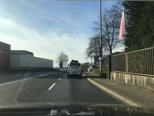
The Parlour 1782
Restaurant · Cake, Coffee Shop, Mediterranean, Tea · 1.4 km
30 Schüttendelle, Remscheid
Th-Fr 16:00-22:00; Sa 14:00-22:00; Su 10:00-18:00
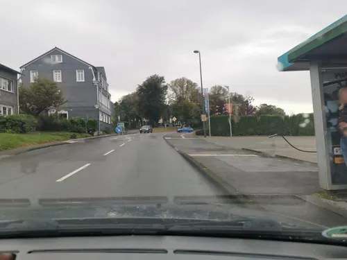
ARDOR
Restaurant · Burger · 4.7 km
77 Lüttringhauser Straße, Remscheid
Tu-Th 12:00-20:00; Fr,Sa 12:00-17:00

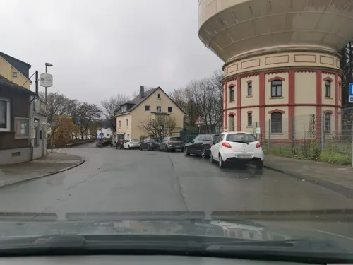
Buonissimo - Mamma Maria
Restaurant · Italian Pizza, Italian, Mediterranean, Pizza · 1.9 km
2a Strucker Straße, Remscheid
Mo-Fr 11:30-14:00

Bäckerei Evertzberg
Bakery
Bäckerei Evertzberg im Edeka
74 Alleestraße, Remscheid
Mo-Sa 08:00-20:00; PH off
Cu Thoc
Restaurant · Asian, Vietnamese · 4.7 km
1 Kölner Straße, Wermelskirchen
Mo-Tu 11:30-15:00, 17:00-22:00; Th-Fr 11:30-15:00, 17:00-22:00;...
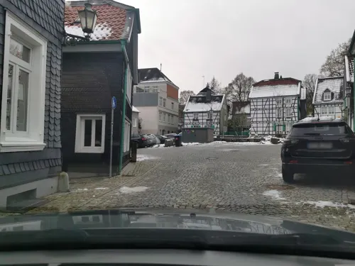

Haus Hochstein
Restaurant · Regional, Steak House, Balkan, Salad · 4.0 km
105 Kenkhauser Straße, Wermelskirchen
Mo-Su 11:30-14:30,17:00-23:00; Tu off
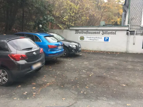


Haus Zillertal
Restaurant · German · 4.0 km
1 Zillertal, Wuppertal
Mo-Tu,Fr 14:00+; Sa,PH 12:00+; We-Th off; Su 10:30+
Pasta di Nonna
Restaurant · Italian, Mediterranean, Noodles, Pasta
42a Alleestraße, Remscheid
Tu-Sa 10:00-18:00
229 more on the map.
History
Remscheid was founded in the 12th century, but remained a small village until the 19th century. Early spellings for the city included Remissgeid (1217), Rymscheyd (1351), Reymscheyd (1487) and Rembscheid (1639). The economic growth of the entire Rhine-Ruhr region led to an increase of the population of Remscheid. Mechanical engineering and toolmaking were the main industries practised within the town. This is carried on today with the Hazet tool company which has three factories in Remscheid. Remscheid was part of the Prussian Rhine Province from 1822 to 1945.
On 31 July 1943, during World War II, Remscheid was almost completely destroyed during a British bombing raid which caused a firestorm. This bombing raid was the final operation of RAF's Battle of the Ruhr involving 273 aircraft. Today around one third of the city consists of buildings from before World War II. During 14 and 15 April 1945, Remscheid was captured by the 78th Infantry Division (United States).
An A-10 Thunderbolt II crashed in the city on 8 December 1988. Six people died.
From the History section of Remscheid on Wikipedia, under CC BY-SA 4.0.
Where to stay14
Churches and places of worship35
Shopping73
Gas and EV charging25
Schools, colleges and libraries39
Healthcare27
Map of Remscheid
250 places. The map loads OpenStreetMap tiles when you open it.
Getting there and nearby towns
Flughafen Essen-Mülheim (ESS) is the nearest airport with scheduled flights listed in OpenStreetMap, 30 km away.
- Wermelskirchen 5 km south, about 5 min by car
- Solingen 8 km west, about 8 min by car
- Wuppertal 9 km north, about 9 min by car
- Hilgen - Dünweg 9 km south, about 9 min by car
- Hückeswagen 11 km east, about 11 min by car
- Radevormwald 12 km east, about 12 min by car
- Burscheid 12 km southwest, about 12 min by car
- Haan 13 km west, about 13 min by car
- Schwelm 14 km northeast, about 14 min by car
- Köln 32 km southwest, about 32 min by car
Drive times are estimates from straight-line distance, not routes.
Local news
Headlines from INDB.
Reviews, tips and questions
Loading what members have shared...
Sources and licences
- GeoNames (CC BY 4.0): population, coordinates, regions and time zone
- Mapillary (see each image): photos
- OpenStreetMap contributors (ODbL 1.0): places, airports, map data
- Wikidata (CC0 1.0): elevation, founding date, time zone, website, landmarks and historic places
- Wikimedia Commons (see each image): photos
- Wikipedia (CC BY-SA 4.0): overview and history text
Photo credits
- RS-Theo-Otto-Theater, Michael Kramer, CC BY-SA 3.0
- Kohlfurther bruecke, Christian Olsen, CC BY 3.0
- Legobrücke Wuppertal 1, Morty, CC BY-SA 3.0
- Wuppertal Friedrich-Engels-Allee 2013 001, Atamari, CC BY-SA 3.0
- GER Wuppertal, Schauspielhaus 005, -wuppertaler, CC BY 4.0
- Wuppertal Thalia-Theater 1, The original uploader was Pitichinaccio at German Wikipedia . ( Original text: unbekannt/ de:Benutzer:Pitichinaccio ), Public domain
- Wuppertal Borner Str 0004, Atamari, CC BY-SA 3.0
- WikiCon 2019 by Einsamer Schütze 06, Ronny Ueckermann, CC BY-SA 4.0
- Wuppertal vdheydtmuseum, Fotograf: Daniel Jünger, CC BY-SA 3.0
- Empfangsgebäude Zoo Wuppertal, Norbert Sdunzik, CC BY-SA 3.0
- Uni Wuppertal (Atamari)-2, Atamari, CC BY-SA 2.5
- Solingen -- Müngstener Brücke (10403938084), InterCityImpress, CC BY-SA 2.0
- Bismarckturm Remscheid, Johannes1024, CC BY 3.0
- Remscheid Lennep - Stadtkirche 09 ies, Frank Vincentz, CC BY-SA 3.0
- Remscheid ev stadtkirche, Hans Peter Schaefer ( Hps-poll ), CC BY-SA 3.0
- WKirchen evKirche Turm, Beckstet, CC BY-SA 3.0
- Remscheid - Haus Cleff 03 ies, Frank Vincentz, CC BY-SA 3.0
- HlKreuzkiLü, Hans Kadereit, CC BY-SA 3.0
- Kirche St. Marien RS, Fotograf: Hans Kadereit -- ka, GFDL 1.3
- Remscheid - Theodor-Heuss-Platz - Allee-Center 01 ies, Frank Vincentz, CC BY-SA 3.0
- Lue im Dorf m Kirche, Kadereit, CC BY-SA 4.0
- Diederichstempel Muengsten 04 09, Хрюша, CC BY-SA 3.0
- Morsbach bei Danielshammer (1), DiAuras, CC BY-SA 4.0
- Kimmenau (3), DiAuras, CC BY-SA 4.0
- NSG Farrenbracker Bachtal (1), DiAuras, CC BY-SA 4.0
- NSG RS-014 Eschbachtal bei Zurmühle (Remscheid), DiAuras, CC BY-SA 4.0
- Stöcker Bach an der Eschbachtalsperre, DiAuras, CC BY-SA 4.0
- NSG SG-006 Erlenauwald bei Kellershammer (16), DiAuras, CC BY-SA 4.0
- Christus-Kirche Remscheid, Kadereit, CC BY-SA 4.0
- 2019-03-30-Müngstener Brücke-0031, Superbass, CC BY-SA 4.0
- Remscheid - Theodor-Heuss-Platz - Bergischer-Löwe 06 ies, Frank Vincentz, CC BY-SA 3.0
- NSG W-022 NSG Morsbach und Rheinbach-3, Ökologix, CC BY-SA 3.0
- NSG RS-021 NSG Unteres Morsbachtal mit Hoelterfelder Siefen und Fuerberger Bachtal-1, Ökologix, CC BY-SA 3.0
- WKirchen evKirche v SO, Beckstet, CC BY-SA 3.0
- Martin-Luther-Kirche (Remscheid), DiAuras, CC BY-SA 4.0
- Remscheid rathaus, Fotograf: Hans Peter Schaefer, The original uploader was Hps-poll at German Wikipedia . and Attilios at en.wikipedia, CC BY-SA 3.0
- Muengstener Bruecke, Stefan Kemmerling ( Kemmi.1 ), CC BY-SA 3.0 de
- Richard-Pick-Straße 7 (2) (Remscheid), DiAuras, CC BY-SA 4.0
- Remscheid - Haus Cleff 01 ies, Frank Vincentz, CC BY-SA 3.0
- Diederichstempel Burg 01 09, Хрюша, CC BY-SA 3.0
- Clemenshammer 01, Morty, CC BY-SA 2.0 de
- Erster Bauplan St. Josef, Remscheid, Repro: Paolo Miola, Remscheid, CC BY-SA 3.0 de
- Schlepenpohl 5-8 Feilen-Fabrik Ehlis (Remscheid), DiAuras, CC BY-SA 4.0
- Street-level photo, saschahaberkorn, CC BY-SA 4.0
- Street-level photo, wladimir, CC BY-SA 4.0
- Street-level photo, ASRvw, CC BY-SA 4.0
- Street-level photo, ASRvw, CC BY-SA 4.0
- Street-level photo, ASRvw, CC BY-SA 4.0
- Street-level photo, raymond, CC BY-SA 4.0
- Street-level photo, endradon, CC BY-SA 4.0
- Street-level photo, ASRvw, CC BY-SA 4.0
- Street-level photo, ASRvw, CC BY-SA 4.0
- Street-level photo, wladimir, CC BY-SA 4.0
- Street-level photo, saschahaberkorn, CC BY-SA 4.0
- Street-level photo, saschahaberkorn, CC BY-SA 4.0
- Street-level photo, ASRvw, CC BY-SA 4.0
- Street-level photo, wladimir, CC BY-SA 4.0
- Street-level photo, fuffel, CC BY-SA 4.0
- Street-level photo, ASRvw, CC BY-SA 4.0


Page built November 8, 2026. Spotted a mistake? Tell us or suggest a place.