


Remseck am Neckar, Germany
Remseck am Neckar is a town of 26,549 people in Baden-Wurttemberg, Germany.
Why visit Remseck am Neckar
Townapedia lists 34 museums and landmarks, 43 parks and trails, 130 places to eat, 7 places to stay and 20 attractions in and around town.
Highlights include Geflügelhof Walker, Hegnacher Mühle, Historische Schmiede Neckargröningen and Holderburg.
Weather in Remseck am Neckar
Forecast from MET Norway (CC BY 4.0). Full forecast
About Remseck am Neckar
Remseck am Neckar (German pronunciation: [ˈʁɛmsˌʔɛk ʔam ˈnɛkaʁ] , lit. 'Remseck on the Neckar') is a swabian town in the district of Ludwigsburg, Baden-Württemberg, Germany. It is situated at the confluence of the rivers Rems and Neckar, about 12 km northeast of Stuttgart, and 7 km southeast of Ludwigsburg.
From the Wikipedia article Remseck (this version), under CC BY-SA 4.0.
Things to do20
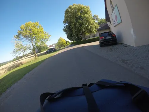
Geflügelhof Walker
Farm and orchard · 2.5 km
100 Ludwigsburger Steige, Remseck am Neckar
Mo 07:30-14:00; Tu-Fr 07:30-18:30; Sa 07:30-16:00

Hegnacher Mühle
Farm and orchard · 3.1 km
1 Hegnacher Mühle, Waiblingen
Mo-Fr 08:00-12:00,13:30-17:00; Sa 08:00-12:30
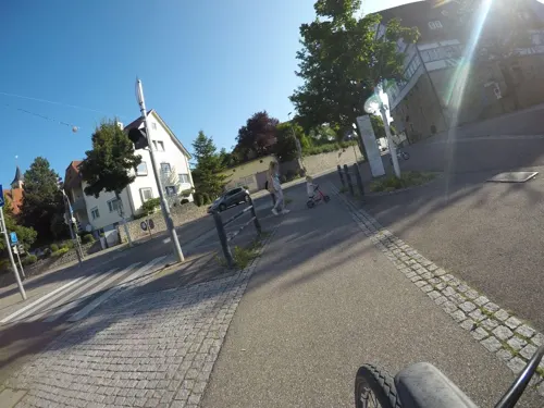


Kauffmanns Hofladen
Farm and orchard · 4.4 km
6 Butterstraße, Fellbach
Mo-We 08:00-13:00; Th 10:00-18:00; Fr 08:00-18:00; Sa 08:00-13:00

Schlosstheater Ludwigsburg
Cinema and theater · 6.4 km
Theater of Ludwigsburg Palace in Ludwisgburg, Germany
Hofladen Brust
Farm and orchard · 4.5 km
2 Meierberg, Stuttgart
Th-Fr 08:30-18:00; Sa 08:30-13:00
Hofladen Fischer
Farm and orchard · 3.4 km
Mo,Tu,Th,Fr 08:00-13:00,14:00-18:00; We 08:00-13:00; Sa 08:00-14:00
Hofladen Gnamm
Farm and orchard · 3.2 km
Tu,Th 08:00-13:00,14:30-18:30; Fr 08:00-18:30; Sa 08:00-13:00;...
Schnitzbiegel-Hoflädle
Farm and orchard · 4.3 km
Tu 08:00-18:00; Th 08:00-18:00; Fr 08:00-18:00; Sa 08:00-13:00
8 more on the map.
Museums and landmarks34
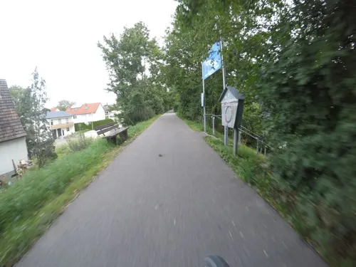

Holderburg
Monument and historic site · 4.1 km
14 Holderstraße, Ludwigsburg

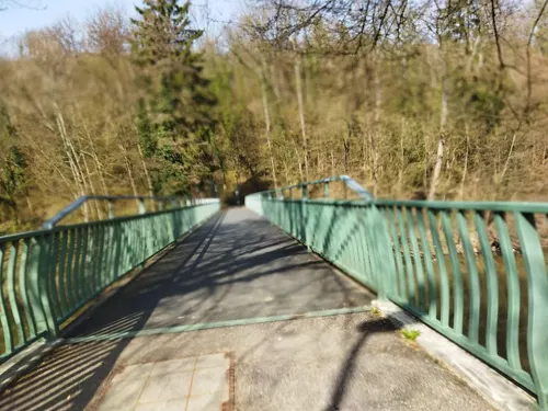


Aldinger Schloß
Monument and historic site · 1.9 km
4 Schloßhof, Remseck am Neckar


22 more on the map.
Parks, trails and playgrounds43




Römerweg / Hochberg
Playground · 1.7 km
08:00-sunset; 20:00+ off
Schlehenweg / Hochberg
Playground · 1.7 km
08:00-sunset; 20:00+ off

Langes Tal
Playground · 3.1 km
Apr 1-Sep 30: 08:00-22:00;Oct 1-Mar 31 08:00-20:00
31 more on the map.
Restaurants and cafes130

Kleinle
Restaurant · Heuriger · 4.2 km
Besen, saisonal geöffnet
2 Grasiger Weg, Ludwigsburg
"Besenwirtschaft"
Aurora - Vereinsgaststätte SV Hegnach
Restaurant · Balkan, German, Italian · 2.2 km
49 Hartweg
Tu-Fr 17:00-23:00; Sa 11:00-23:00; Su 11:00-21:00
Bella' Swing The Golf Restaurant
Restaurant · Burger, Steak House, Pizza · 4.1 km
975 John-Fitzgerald-Kennedy-Allee, Kornwestheim
Mo-Sa 10:00-22:00
Belovedere da Toni
Restaurant · 3.2 km
Das Bellovedere da Toni ist ein Lokal im Stile eines familienbetriebenen Ristorante Italiens.
41 Karl-Ziegler-Straße
Tu-Su 15:00-22:00
Besenwirtschaft Lausterer
Restaurant · Regional · 3.9 km
55 Neustädter Straße, Fellbach
Tu-Th 11:00-20:30; Fr,Sa 11:00-21:00; Su 11:00-21:00
Blutsbrüder
Restaurant · 4.5 km
Deutsche Küche, modern gedacht. Bodenständig, aber nie langweilig. Klar im Geschmack, aber offen für Neues.
54 Hanseaten Straße
Mo, We-Sa 16:00-23:00; Su 12:00-22:00
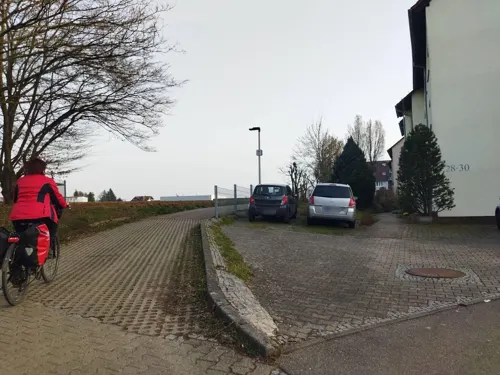
Bürgerstube Da Pang
Restaurant · Asian · 3.6 km
37 Rechbergstraße 71336 Waiblingen
Mo, Tu, Th 11:30-14:00, 17:30-22:00; Fr, Sa, PH 11:30-14:00,...
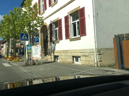
Gasthaus zum Ochsen
Restaurant · German · 3.3 km
10 Hauptstraße, Fellbach
Mo-Sa 10:30-14:30,17:30-23:00; Su 10:30-21:00

Hegnacher Scheunenladen
Cafe · 2.2 km
Kaffeebar, Kunsthandwerk
55 Schickhardtstraße
Sa 10:00-16:00; Tu-Fr 10:00-18:00
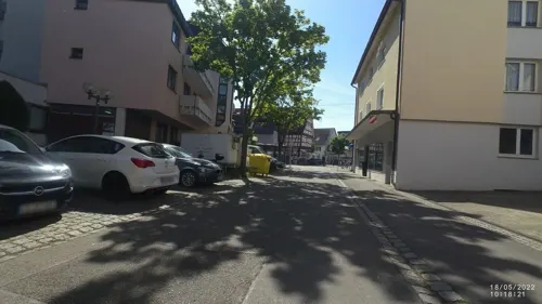
Im Schnitzbiegel
Restaurant · Regional · 4.3 km
13 Bühnerstraße, Fellbach
Mo-Fr 12:00-14:00,18:00-22:00; Su 12:00-14:00,17:00-21:00
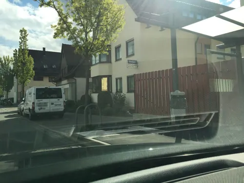


Pizza & Eis Da Toni
Restaurant · Italian · 3.7 km
Keine Pizza 14:00-17:00h (weiterhin Eisverkauf)
We-Mo 11:00-21:00
118 more on the map.
History
Before 1975 five of the six boroughs of Remseck used to be independent municipalities. References to Aldingen and Hochdorf can be found as early as 1100, Hochberg is mentioned in a text from 1231 whereas Neckargröningen is already referred to in 806. Neckarrems is also mentioned in 1268 as "Rems"; the "Neckar" was added only in the 17th century.
In Middle Ages Neckarrems and Neckargröningen already belonged to Württemberg. The lordship of Aldingen was held by the Lords of Kaltenthal, while the lordships of Hochberg and Hochdorf were held by the family Nothaft von Hohenberg. In the late 18th century, Aldingen, Hochberg and Hochdorf finally came to Württemberg, too.
Within Württemberg the municipalities of Hochdorf, Hochberg, and Neckarrems used to belong to the district of Waiblingen, whereas Aldingen and Neckargröningen belonged to the district of Ludwigsburg. In 1938 however, all five municipalities were assigned to Ludwigsburg.
From the History section of Remseck on Wikipedia, under CC BY-SA 4.0.
Where to stay7
Churches and places of worship40
Erhartskirche
Church · Protestant · 3.2 km
31 Karl-Ziegler-Straße, Waiblingen
Evang. Martinskirche
Church · Protestant
2 Hindenburgstraße, Remseck am Neckar
Nikolauskirche
Church · Protestant · 2.5 km
15 Kirchstraße, Waiblingen
Shopping26
Gas and EV charging15
Schools, colleges and libraries31
Healthcare13
Apotheke am Wettemarkt
Clinic and pharmacy · 3.9 km
29 Westfalenstraße, Ludwigsburg
Apotheke Pattonpoint
Clinic and pharmacy · 3.6 km
33 John-Fitzgerald-Kennedy-Allee
Map of Remseck am Neckar
250 places. The map loads OpenStreetMap tiles when you open it.
Getting there and nearby towns
Manfred Rommel Airport Stuttgart (STR) is the nearest airport with scheduled flights listed in OpenStreetMap, 21 km away.
- Waiblingen 5 km southeast, about 5 min by car
- Ludwigsburg 7 km northwest, about 7 min by car
- Kornwestheim 7 km west, about 7 min by car
- Fellbach 7 km south, about 7 min by car
- Korb 7 km southeast, about 7 min by car
- Marbach am Neckar 8 km north, about 8 min by car
- Freiberg am Neckar 8 km northwest, about 8 min by car
- Winnenden 9 km east, about 9 min by car
- Leutenbach 9 km east, about 9 min by car
- Stuttgart 12 km southwest, about 12 min by car
Drive times are estimates from straight-line distance, not routes.
Local news
Headlines from INDB.
Reviews, tips and questions
Loading what members have shared...
Sources and licences
- GeoNames (CC BY 4.0): population, coordinates, regions and time zone
- Mapillary (see each image): photos
- OpenStreetMap contributors (ODbL 1.0): places, airports, map data
- Wikidata (CC0 1.0): elevation, founding date, time zone, website, landmarks and historic places
- Wikimedia Commons (see each image): photos
- Wikipedia (CC BY-SA 4.0): overview and history text
Photo credits
- Altes-Rathaus (Neckarrems) 2020 MTh 7813, ( MTheiler ), CC BY-SA 4.0
- Ludwigsburg Palace December 2018, Alexander Migl, CC BY-SA 4.0
- AkademieDarstellendeKunstLudwigsburg, Mussklprozz, CC BY-SA 3.0
- Filmakademie Ludwigsburg DSC 3579, Ludwigs Unbürger, CC BY-SA 4.0
- Palmsches Schloss Stuttgart, MSeses, CC BY-SA 3.0
- Evang. Veitskapelle Stuttgart-Mühlhausen, Bear62, CC BY 3.0
- Schloss Aldingen, Thyrren, CC BY-SA 4.0
- Rems 02, Mussklprozz , modified by Wildfeuer, CC BY-SA 3.0
- Naturschutzgebiet Oeffinger Scillawald Fellbach, Batrox, CC BY-SA 4.0
- Januariuskirche Ossweil vSO PF1196A 1705W, P. Fendrich, CC BY-SA 4.0
- Aldinger Kelter, Thyrren, CC BY-SA 4.0
- Hohenacker erhard aussennordwest1647x1171 um2000 guntherseibold, kirchbau.de, CC BY 3.0
- Oeffingen christkoenig ansichtturm800x1066 rothmund, rothmund, CC BY 3.0
- Pfarrkirche Waiblingen-Neustadt (retouched), Silesia711, CC BY-SA 4.0
- Pfarrkirche Waiblingen-Hegnach, Silesia711, CC BY-SA 4.0
- Bittenfeld ulrich ansicht1200x1600 guntherseibold, guntherseibold, CC BY 3.0
- Waiblingenneustadt maria aussenseite2399x1733 nk, nk, CC BY 3.0
- Bittenfeld martin ansicht1200x1600 guntherseibold, guntherseibold, CC BY 3.0
- Saint Dionysios Schmiden 7, Sarang, Public domain
- Holderburg Ludwigsburg DSC 3713, Ludwigs Unbürger, CC BY-SA 4.0
- Stolperstein Albert Imle Ludwigsburg Niedersachsenstrasse 19 DSC 3703, Ludwigs Unbürger, CC BY-SA 4.0
- Stolperstein für Hans Walter Ludwigsburg, Stolpersteineuploader, CC0
- Merkle-karl-ludwigsburg-baltenstrasse28, Shaun92, CC BY-SA 4.0
- Werner-richard-ludwigsburg-hermann-loens-strasse13, Shaun92, CC BY-SA 4.0
- Stolperstein Rosa Rommel Ludwigsburg Hermann-Loens-Strasse 3 DSC 3710, Ludwigs Unbürger, CC BY-SA 4.0
- Martinskirche, Remseck-Neckargröningen, Klheri, CC BY-SA 3.0
- Synagoge Hochberg (Remeck) Tor, Sarang, Public domain
- Waiblingen hegnach aussen1600x1990 nk, nk, CC BY 3.0
- Remseck-Neckarrems 2020 MTh 7852, ( MTheiler ), CC BY-SA 4.0
- Remseck-Neckarrems 2020 MTh 7853, ( MTheiler ), CC BY-SA 4.0
- Füßgängerbrücke-in-Remseck 2020 MTh 7833, ( MTheiler ), CC BY-SA 4.0
- Remseck-Neckarrems 2020 MTh 7836, ( MTheiler ), CC BY-SA 4.0
- Füßgängerbrücke-in-Remseck 2020 MTh 7834, ( MTheiler ), CC BY-SA 4.0
- 2015 Knabe in Gefahr Remseck, Kreuzschnabel, CC BY-SA 3.0
- Remseck Knabe in Gefahr, 5R-MFT, CC BY-SA 4.0
- 2015 Remseck Remsbrücke, Kreuzschnabel, CC BY-SA 3.0
- Remseck-Neckarrems 2020 MTh 7845, ( MTheiler ), CC BY-SA 4.0
- Füßgängerbrücke-in-Remseck 2020 MTh 7831, ( MTheiler ), CC BY-SA 4.0
- Neckarstrand-in-Remseck 2020 MTh 7850, ( MTheiler ), CC BY-SA 4.0
- Neckarstrand-in-Remseck 2020 MTh 7851, ( MTheiler ), CC BY-SA 4.0
- Hegnacher Mühle, Hohenacker, Waiblingen - panoramio, qwesy qwesy, CC BY 3.0
- Hofmarkt Sonnenhof - panoramio, qwesy qwesy, CC BY 3.0
- Street-level photo, mfa, CC BY-SA 4.0
- Street-level photo, mfa, CC BY-SA 4.0
- Street-level photo, jdspam, CC BY-SA 4.0
- Street-level photo, bct, CC BY-SA 4.0
- Street-level photo, tymmmy, CC BY-SA 4.0
- Street-level photo, changchun1, CC BY-SA 4.0
- Street-level photo, tymmmy, CC BY-SA 4.0
- Street-level photo, changchun1, CC BY-SA 4.0
- Street-level photo, mfa, CC BY-SA 4.0
- Street-level photo, slowrb, CC BY-SA 4.0
- Street-level photo, VIA_CH, CC BY-SA 4.0
- Street-level photo, slowrb, CC BY-SA 4.0
- Street-level photo, pharris0n, CC BY-SA 4.0
- Street-level photo, changchun1, CC BY-SA 4.0
- Street-level photo, mfa, CC BY-SA 4.0
- Street-level photo, bct, CC BY-SA 4.0
- Street-level photo, bct, CC BY-SA 4.0
- Street-level photo, mfa, CC BY-SA 4.0
- Street-level photo, mfa, CC BY-SA 4.0
- Street-level photo, mfa, CC BY-SA 4.0
- Street-level photo, VIA_CH, CC BY-SA 4.0
- Street-level photo, bct, CC BY-SA 4.0


Page built November 8, 2026. Spotted a mistake? Tell us or suggest a place.