
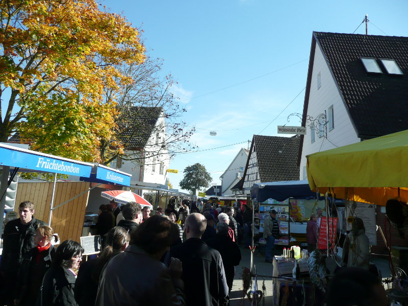


Why visit Rot am See
Townapedia lists 25 museums and landmarks, 13 parks and trails, 53 places to eat, 13 places to stay and 9 attractions in and around town.
Highlights include Kino Klappe, Heck's Bauernbrot, Burg Amlishagen and Männer von Brettheim.
Weather in Rot am See
Forecast from MET Norway (CC BY 4.0). Full forecast
About Rot am See
Rot am See ([ʁoːt am zeː]) is a town in the district of Schwäbisch Hall in Baden-Württemberg in Germany with a population of 5,388 as of December 31, 2018.
From the Wikipedia article Rot am See (this version), under CC BY-SA 4.0.
Things to do9



Museums and landmarks25

Burg Amlishagen
Monument and historic site · 4.2 km
Sa 10:00-14:00;Su 14:00-18:00



13 more on the map.
Parks, trails and playgrounds13



1 more on the map.
Restaurants and cafes53

Dela90 Hohenloher Laden
Cafe · Bistro, Cake, Breakfast · 5.3 km
Laden mit breitem Sortiment, regionale Produkte, schöne, ruhige Terrasse
23 Engelhardshauser Straße, Blaufelden
Mo-Fr 06:30 - 18:30; Sa 07:00 - 13:00
LBV Bäckerei in Bauernhand
Bakery · 6.1 km
18 Haller Straße
Mo-Fr 06:00-18:00, Sa 06:30-13:00, Su 08:00-16:00
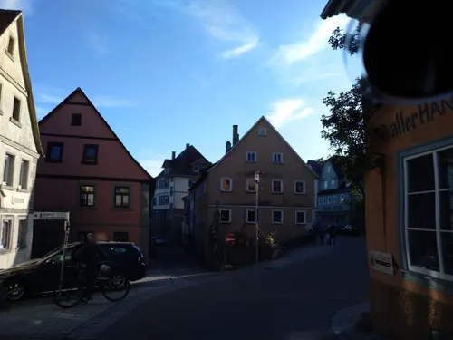
La Torre
Restaurant · Italian · 5.7 km
Mo,Tu,Th 17:30-21:30; Fr-Sa 17:30-22:30; Su 11:30-14:00,17:30-21:30; We off

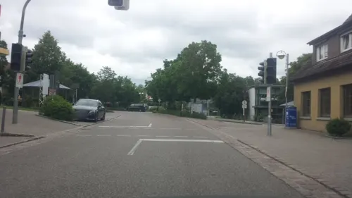

Sohns
Bakery · 6.1 km
5 Hauptstraße, Blaufelden
Mo, We-Fr 05:30-18:00; Tu, Sa 05:30-13:00; Su 13:00-17:30
Wild Bio-Bäckerei
Bakery · 6.5 km
14 Hauptstraße, Kirchberg an der Jagst
Mo off; Tu-Fr 06:30-12:30, 16:00-18:00; Sa 06:30-12:00
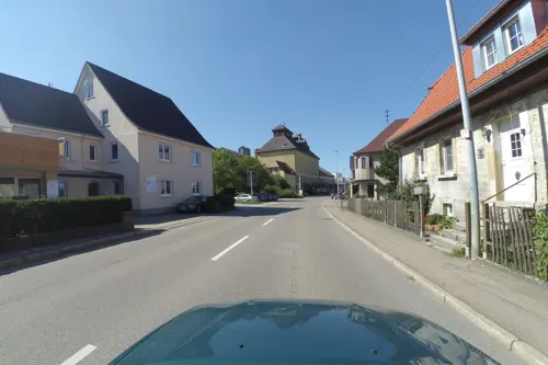


41 more on the map.
Where to stay13
Pension und Bauernhof Franz
Motel and hotel · 6.5 km
12 Hauptstraße, Kirchberg an der Jagst
Churches and places of worship23
Evangelische Stadtkirche
Church · Protestant · 5.6 km
21 Kirchstraße, Kirchberg an der Jagst
Jugendstilkirche Gaggstatt
Church · Protestant · 3.7 km
19 Schlözer Straße, Kirchberg an der Jagst
Nikolauskirche
Church · Protestant · 5.7 km
4 Wanderstraße, Kirchberg an der Jagst
St. Peter und Paul
Church · Protestant · 6.0 km
1 Kirchstraße, Rot am See
St.-Stephanus-Kirche
Church · Protestant · 6.4 km
3 Kirchplatz, Kirchberg an der Jagst
Shopping14
Gas and EV charging6
Schools, colleges and libraries13
August Ludwig Schlözer Schule
School · 6.5 km
1 Schulstraße, Kirchberg an der Jagst
Healthcare4
Apotheke Gerabronn
Clinic and pharmacy · 6.8 km
10 Blaufeldener Straße, Gerabronn
Map of Rot am See
173 places. The map loads OpenStreetMap tiles when you open it.
Getting there and nearby towns
Illesheim Army Heliport (ILH) is the nearest airport with scheduled flights listed in OpenStreetMap, 36 km away.
- Satteldorf 10 km southeast, about 10 min by car
- Crailsheim 13 km south, about 13 min by car
- Rothenburg ob der Tauber 19 km northeast, about 19 min by car
- Künzelsau 24 km west, about 24 min by car
- Schwäbisch Hall 25 km southwest, about 25 min by car
- Feuchtwangen 25 km east, about 25 min by car
- Dinkelsbühl 30 km southeast, about 30 min by car
- Bad Mergentheim 32 km northwest, about 32 min by car
- Ellwangen 33 km south, about 33 min by car
- Gaildorf 33 km southwest, about 33 min by car
Drive times are estimates from straight-line distance, not routes.
Local news
Headlines from INDB.
Reviews, tips and questions
Loading what members have shared...
Sources and licences
- GeoNames (CC BY 4.0): population, coordinates, regions and time zone
- Mapillary (see each image): photos
- OpenStreetMap contributors (ODbL 1.0): places, airports, map data
- Wikidata (CC0 1.0): elevation, founding date, time zone, website
- Wikimedia Commons (see each image): photos
- Wikipedia (CC BY-SA 4.0): overview and history text
Photo credits
- Muswiese071, [email protected], CC BY-SA 3.0
- Bahnhof Rot am See 28082025, BerndH, CC BY-SA 4.0
- Suehnekreuz-Rot am See, lutzto, CC BY-SA 3.0
- Anhäuser Mauer, Memorino, CC BY-SA 3.0
- Burg Amlishagen, Marc Lopez, CC BY-SA 3.0
- Flyhöhe 100711, BerndH, CC BY-SA 3.0
- Lobenhausen 110508, Bernd Haynold, CC BY-SA 3.0
- Ruine Werdeck 160208b, Bernd Haynold, CC BY-SA 3.0
- Schloss Hornberg 20100912, User:Rosenzweig, CC BY-SA 3.0
- Nikolauskirche Mistlau, Memorino, CC BY-SA 3.0
- Bebenburg 270408, Bernd Haynold, CC BY-SA 3.0
- Eingang Sandelsches Museum Kirchberg Jagst, Klaus Graf, CC BY 2.0
- Schloss-Schule Kirchberg auf der Windshöhe, Schloss-Schule Kirchberg / MikaSo33 at German Wikipedia, CC BY-SA 3.0
- Amlishagen Kirche, Marc Lopez, CC BY-SA 3.0
- Die evangelische Jugendstilkirche in Gaggstatt 08, Holger Uwe Schmitt, CC BY-SA 4.0
- Gerabronn Evangelische Kirche 3152, GFreihalter, CC BY-SA 3.0
- Kirchberg 014, Tilman2007, CC BY-SA 3.0
- Brettheim - Peter-und-Paulkirche, Ecelan, CC BY-SA 4.0
- St. Stephanuskirche (Lendsiedel) Kirchberg an der Jagst-2026-10-msu-123-4678, Matthias Süßen, CC BY-SA 4.0
- Landappbw 586457 1820 Ev. Kirche Blaufelden, Martin Hahn, CC0
- Suehnekreuz-Brettheim, lutzto, CC BY-SA 3.0
- Burg Hornberg 130512, BerndH, CC BY-SA 3.0
- Kloster Anhausen-msu-2021-0581-, Matthias Süßen, CC BY-SA 4.0
- Gut erhaltene Fresken (15. Jahrhundert) schmücken die Nikolauskirche in Mistlau. 10, Holger Uwe Schmitt, CC BY-SA 4.0
- Schloss Hornberg Kirchberg an der Jagst-2026-10-msu-123-4339, Matthias Süßen, CC BY-SA 4.0
- Jugendstilkirche Gaggstadt Kirchberg an der Jagst-2026-10-msu-1235-4713, Matthias Süßen, CC BY-SA 4.0
- Kino Klappe - panoramio, qwesy qwesy, CC BY 3.0
- Kirchberg an der Jagst - Altstadt - Ansicht von NO von Ruine Sulz (1), Roman Eisele, CC BY-SA 4.0
- Street-level photo, wegavision, CC BY-SA 4.0
- Street-level photo, wegavision, CC BY-SA 4.0
- Street-level photo, sp8962de, CC BY-SA 4.0
- Street-level photo, paramida, CC BY-SA 4.0
- Street-level photo, paramida, CC BY-SA 4.0
- Street-level photo, wegavision, CC BY-SA 4.0
- Street-level photo, wegavision, CC BY-SA 4.0
- Street-level photo, kreuzschnabel, CC BY-SA 4.0
- Street-level photo, kreuzschnabel, CC BY-SA 4.0
- Street-level photo, cgr, CC BY-SA 4.0
- Street-level photo, sp8962de, CC BY-SA 4.0
- Street-level photo, wegavision, CC BY-SA 4.0
- Street-level photo, wegavision, CC BY-SA 4.0
- Street-level photo, electria, CC BY-SA 4.0
- Street-level photo, sp8962de, CC BY-SA 4.0
- Street-level photo, wegavision, CC BY-SA 4.0
- Street-level photo, wegavision, CC BY-SA 4.0


Page built November 8, 2026. Spotted a mistake? Tell us or suggest a place.