


Crailsheim, Germany
Crailsheim is a town of 35,755 people in Baden-Wurttemberg, Germany.
Why visit Crailsheim
Townapedia lists 37 museums and landmarks, 22 parks and trails, 110 places to eat, 16 places to stay and 18 attractions in and around town.
Highlights include Cinecity Crailsheim, Honhardter Demeterhöfe - Hofladen, Hammerschmiede Gröningen and Wasserschloss Erkenbrechtshausen.
Weather in Crailsheim
Forecast from MET Norway (CC BY 4.0). Full forecast
About Crailsheim
Crailsheim (German pronunciation: [ˈkʁaɪlsˌhaɪm] ) is a town in the German state of Baden-Württemberg. Incorporated in 1338, it lies 32 kilometres (20 miles) east of Schwäbisch Hall and 40 km (25 mi) southwest of Ansbach in the Schwäbisch Hall district. The city's main attractions include two Evangelical churches, a Catholic church, and the 67 metre tower of its town hall.
From the Wikipedia article Crailsheim (this version), under CC BY-SA 4.0.
Travel tips from other travellers: Crailsheim on Wikivoyage (CC BY-SA 4.0).
Things to do18
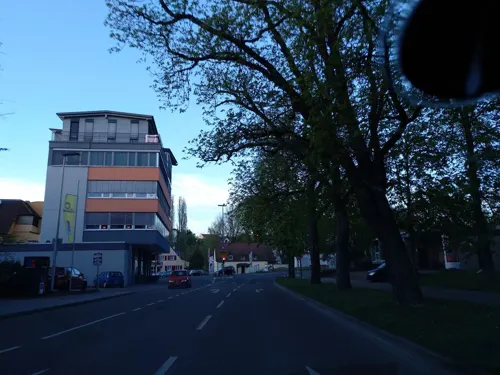
Cinecity Crailsheim
Cinema and theater · 0.6 km
10-12 Worthingtonstraße, Crailsheim
"Die Öffnungszeiten sind täglich ca. 45 Minuten vor der ersten...

Honhardter Demeterhöfe - Hofladen
Farm and orchard · 7.4 km
15 Ostweg, Frankenhardt
Tu 14:30-18:30; Th 14:30-18:30; Sa 09:00-12:00



6 more on the map.
Museums and landmarks37

Hammerschmiede Gröningen
Monument and historic site · 6.0 km
Hauptgebäude mit Wohn- und Arbeitsräumen
1, Satteldorf
Sa,Su 11:00-18:00


Schloss Gröningen
Monument and historic site · 6.2 km
8 Helmshofer Straße, Satteldorf



25 more on the map.
Parks, trails and playgrounds22





10 more on the map.
Restaurants and cafes110
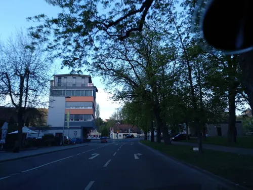
Chilli's Mexican Restaurant Y Bar
Restaurant · Mexican · 0.7 km
2 Worthingtonstraße, Crailsheim
Mo-Th 17:00-23:00; Fr,Sa 17:00-24:00; PH,Su 12:00-23:00

Engel-Keller
Restaurant · German, Greek · 1.3 km
292 Haller Straße, Crailsheim
Tu-Fr 11:00-14:00 open "Nur bei Reservierung ab 10 Personen";...
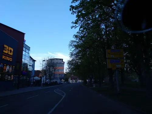
Kaiser Palast
Restaurant · Chinese · 0.6 km
14 Worthingtonstraße, Crailsheim
Tu-Su 11:30-14:30,17:30-22:00; Mo off
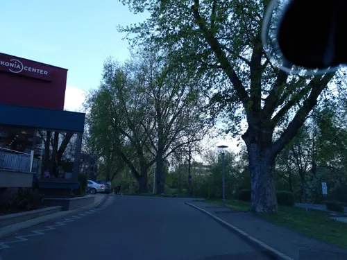
Namaste Indisches Restaurant Crailsheim
Restaurant · Indian · 0.6 km
2 Postplatz
11:30-14:00,17:00-22:00
Taj Mahal
Restaurant · Indian
29 Ludwigstraße, Crailsheim
Mo-Fr 11:00-14:30,17:00-23:00; Sa 17:00-23:00; Su 11:00-14:30,17:00-23:00

Landbäckerei Glück
Bakery · 8.2 km
15 Kirchstraße, Stimpfach
Mo-Fr 06:00-18:00; Sa 06:30-12:00; Su 08:00-10:00



98 more on the map.
History
Crailsheim is famed for withstanding a siege by forces of three imperial cities - Schwäbisch Hall, Dinkelsbühl, and Rothenburg ob der Tauber - lasting from 1379 until 1380, a feat which it celebrates annually. Crailsheim became a possession of the Burgrave of Nuremberg following the siege. In 1791 it became part of the Prussian administrative region, before returning to Bavaria in 1806 and becoming a part of Württemberg in 1810.
Crailsheim's railroad and airfield were heavily defended by the Waffen-SS during World War II. Following an American assault in mid-April 1945, the town was occupied briefly by US forces before being lost to a German counter-offensive. Intense US bombing and artillery shelling destroyed much of the city, with subsequent fires consuming its historic inner city. Only the Johanneskirche (St. John's Church) escaped unharmed.
Crailsheim became the postwar home to the U.S. Army's McKee Barracks until the facility closed in January 1994.
The following boroughs comprise the Crailsheim municipality: Altenmünster, Erkenbrechtshausen, Tiefenbach, Onolzheim, Roßfeld, Jagstheim, Westgartshausen, Goldbach, Triensbach and Beuerlbach.
From the History section of Crailsheim on Wikipedia, under CC BY-SA 4.0.
Where to stay16
Churches and places of worship43
Evangelische Kirchengemeinde Ellrichshausen
Church · Protestant · 7.2 km
3 Schulstraße
Christliches Zentrum der Volksmission
Church · Pentecostal · 1.8 km
5 Theodora-Cashel-Straße, Crailsheim
Shopping30
Gas and EV charging15
Schools, colleges and libraries26
Wilhelm-Sandberger-Schule Frankenhardt (Gemeinschaftsschule)
School · 7.7 km
5 Schulstraße, Frankenhardt
Healthcare9
Apotheke im Handelshof
Clinic and pharmacy · 2.9 km
195 Haller Straße, Crailsheim
Map of Crailsheim
250 places. The map loads OpenStreetMap tiles when you open it.
Getting there and nearby towns
Illesheim Army Heliport (ILH) is the nearest airport with scheduled flights listed in OpenStreetMap, 44 km away.
- Ellwangen 20 km south, about 20 min by car
- Schwäbisch Hall 24 km west, about 24 min by car
- Gaildorf 27 km southwest, about 27 min by car
- Künzelsau 33 km northwest, about 33 min by car
- Heubach 39 km south, about 39 min by car
- Murrhardt 40 km southwest, about 40 min by car
- Schwäbisch Gmünd 42 km southwest, about 42 min by car
- Öhringen 42 km west, about 42 min by car
- Welzheim 43 km southwest, about 43 min by car
- Lorch 47 km southwest, about 47 min by car
Drive times are estimates from straight-line distance, not routes.
Local news
Headlines from INDB.
Reviews, tips and questions
Loading what members have shared...
Sources and licences
- GeoNames (CC BY 4.0): population, coordinates, regions and time zone
- Mapillary (see each image): photos
- OpenStreetMap contributors (ODbL 1.0): places, airports, map data
- Wikidata (CC0 1.0): elevation, founding date, time zone, website, landmarks and historic places
- Wikimedia Commons (see each image): photos
- Wikipedia (CC BY-SA 4.0): overview and history text
Photo credits
- Crailsheim Süddeutschland 2010 1010416, Flominator ( talk ), CC BY-SA 3.0
- Crailsheim - Altstadt - Spital - Spitalkapelle - Ansicht von W, Roman Eisele, CC BY-SA 4.0
- Crailsheim - Altstadt - Spital - Spitalkapelle - Ansicht von SW, Roman Eisele, CC BY-SA 4.0
- Crailsheim - Altstadt - Spital - Spitalstraße 2 - Nordseite, Roman Eisele, CC BY-SA 4.0
- Crailsheim Süddeutschland 2010 1010195, Flominator ( talk ), CC BY-SA 3.0
- Crailsheim Süddeutschland 2010 1010191, Flominator ( talk ), CC BY-SA 3.0
- Crailsheim Süddeutschland 2010 1010193, Flominator ( talk ), CC BY-SA 3.0
- Crailsheim Süddeutschland 2010 1010192, Flominator ( talk ), CC BY-SA 3.0
- Crailsheim Jul 2012 3 (Johanneskirche), Michael Barera, CC BY-SA 4.0
- Crailsheim - Altstadt - Johanneskirche - Südseite - Sonnenuhr, Roman Eisele, CC BY-SA 4.0
- 05413-Crailsheim-1904-Wilhelmshöhe mit geologischer Pyramide-Brück & Sohn Kunstverlag, Brück & Sohn Kunstverlag Meißen, CC0
- Crailsheim Süddeutschland 2010 1010207, Flominator ( talk ), CC BY-SA 3.0
- Crailsheim Süddeutschland 2010 1010210, Flominator ( talk ), CC BY-SA 3.0
- Crailsheim Süddeutschland 2010 1010196, Flominator ( talk ), CC BY-SA 3.0
- Crailsheim Süddeutschland 2010 1010197, Flominator ( talk ), CC BY-SA 3.0
- Crailsheim Süddeutschland 2010 1010206, Flominator ( talk ), CC BY-SA 3.0
- Crailsheim Süddeutschland 2010 1010203, Flominator ( talk ), CC BY-SA 3.0
- Crailsheim Süddeutschland 2010 1010203 (cropped), Flominator ( talk ), CC BY-SA 3.0
- Crailsheim Süddeutschland 2010 1010205, Flominator ( talk ), CC BY-SA 3.0
- Crailsheim Süddeutschland 2010 1010199, Flominator ( talk ), CC BY-SA 3.0
- Crailsheim Süddeutschland 2010 1010198, Flominator ( talk ), CC BY-SA 3.0
- Frontansicht der Allgeyer-Orgel der Johanneskirche Crailsheim, André Reichelt, CC BY-SA 4.0
- Spieltisch der Allgeyer-Orgel der Johanneskirche Crailsheim, André Reichelt, CC BY-SA 4.0
- Detailansicht der Allgeyer-Orgel der Johanneskirche Crailsheim, André Reichelt, CC BY-SA 4.0
- Crailsheim Jul 2012 2 (streetscape), Michael Barera, CC BY-SA 4.0
- Johanneskirche in Crailsheim, Unterillertaler, CC BY-SA 3.0
- Crailsheim johanneskirche tafel, Klaus Graf, CC0
- Crailsheim johanneskirche grabmal, Klaus Graf, CC0
- Crailsheim Süddeutschland 2010 1010225, Flominator ( talk ), CC BY-SA 3.0
- Crailsheim Süddeutschland 2010 1010224, Flominator ( talk ), CC BY-SA 3.0
- Jagst, Crailsheim 202105, Shi Annan, CC BY-SA 4.0
- Crailsheim1, Mikmaq, CC BY-SA 3.0
- Bücherbasar am Schweinemarktplatz Crailsheim, Padd y, CC BY-SA 4.0
- Rathaus in Crailsheim - panoramio, qwesy qwesy, CC BY 3.0
- Stadttor an der Grabenstraße in Crailsheim - panoramio, qwesy qwesy, CC BY 3.0
- Lange Straße in Crailsheim - panoramio, qwesy qwesy, CC BY 3.0
- Crailsheim Süddeutschland 2010 1010297, Flominator ( talk ), CC BY-SA 3.0
- Crailsheim Süddeutschland 2010 1010189, Flominator ( talk ), CC BY-SA 3.0
- Crailsheim Jul 2012 5 (Rathaus), Michael Barera, CC BY-SA 4.0
- Anhäuser Mauer, Memorino, CC BY-SA 3.0
- Lobenhausen 110508, Bernd Haynold, CC BY-SA 3.0
- Burgbergturm (Frankenhardt)-01, Muck, CC BY-SA 4.0
- Johanneskirche Crailsheim, Klaus Graf (selbst fotografiert), CC BY 2.0
- Schönebürgstadion Crailshaim, El Loko Foto, CC BY 4.0
- Reusenberg, Crailsheim 202105 07, Shi Annan, CC BY-SA 4.0
- Die Jagst an einem regnerischen Tag, Steveblancampo, CC BY-SA 4.0
- Crailsheimer Eichswald 202105 01, Shi Annan, CC BY-SA 4.0
- Wacholderberg-Geigerswasen 202105 panorama 2, Shi Annan, CC BY-SA 4.0
- Hammersbachtal Westgartshausen 202105 12, Shi Annan, CC BY-SA 4.0
- Städtische Volkshochschule Crailsheim, Vhs Crailsheim, CC BY-SA 4.0
- Honhardt Evangelische Kirche 1328, Reinhardhauke, CC BY-SA 3.0
- Crailsheim Süddeutschland 2010 1010189 (retouched), Flominator, CC BY-SA 3.0
- Kirche Sankt Bonifatius Crailsheim 4004, AlexanderRahm, CC BY-SA 3.0
- Crailsheim Süddeutschland 2010 1010282, Flominator ( talk ), CC BY-SA 3.0
- Ellrichshausen (Satteldorf), Mikmaq, CC BY 3.0
- Bronnholzheim, Mikmaq, CC BY 3.0
- Goldbach Crailsheim 70231, Jacquesverlaeken, CC BY-SA 4.0
- Landappbw 174102 1818 Schloss Gröningen Gröningen, Roland Knobloch, CC0
- Burghügel Lohr, Lukas Lober, CC BY-SA 4.0
- Street-level photo, paramida, CC BY-SA 4.0
- Street-level photo, paramida, CC BY-SA 4.0
- Street-level photo, paramida, CC BY-SA 4.0
- Street-level photo, paramida, CC BY-SA 4.0
- Street-level photo, kreuzschnabel, CC BY-SA 4.0
- Street-level photo, paramida, CC BY-SA 4.0
- Street-level photo, bernd_niemann, CC BY-SA 4.0
- Street-level photo, bernd_niemann, CC BY-SA 4.0
- Street-level photo, paramida, CC BY-SA 4.0
- Street-level photo, paramida, CC BY-SA 4.0
- Street-level photo, kreuzschnabel, CC BY-SA 4.0
- Street-level photo, quickness805, CC BY-SA 4.0
- Street-level photo, wegatest, CC BY-SA 4.0
- Street-level photo, paramida, CC BY-SA 4.0
- Street-level photo, toxel, CC BY-SA 4.0
- Street-level photo, kreuzschnabel, CC BY-SA 4.0
- Street-level photo, paramida, CC BY-SA 4.0


Page built November 8, 2026. Spotted a mistake? Tell us or suggest a place.