


Rudersberg, Germany
Rudersberg is a town of 11,726 people in Baden-Wurttemberg, Germany.
Why visit Rudersberg
Townapedia lists 61 museums and landmarks, 30 parks and trails, 61 places to eat, 6 places to stay and 37 attractions in and around town.
Highlights include Löwenlichtspiele Rudersberg, Hofladen & Metzgerei Ziegler, Sternwarte Welzheim and Heimatmuseum Berglen.
Weather in Rudersberg
Forecast from MET Norway (CC BY 4.0). Full forecast
About Rudersberg
Rudersberg is a municipality in the Rems-Murr district, in Baden-Württemberg, Germany. It is located 10 km southeast of Backnang, and 28 km northeast of Stuttgart.
From the Wikipedia article Rudersberg (this version), under CC BY-SA 4.0.
Things to do37
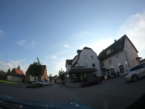

Hofladen & Metzgerei Ziegler
Farm and orchard · 4.8 km
13 Allgäuweg, Berglen
Fr 09:30-18:00, Sa 09:00-13:00

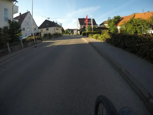
Obstanbau Gruber
Farm and orchard · 5.0 km
20 Johann-Sebastian-Bach-Straße, Berglen
Th,Fr 09:00-12:30,15:00-17:30; Sa 08:30-12:00


25 more on the map.
Museums and landmarks61




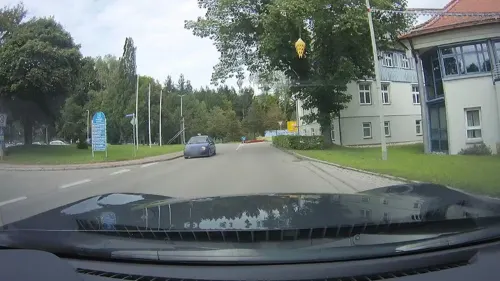

Alte Burgstelle Hohnweiler
Monument and historic site · 4.9 km
Reste eines aufgeschütteten Walles auf einer Bergnase erkennbar. Heute ist die Fläche als Obstwiese genutzt. Über die Geschichte der...
Altstraße Cannstatt-Ebnisee
Monument and historic site · 2.3 km
Von dem Kastell Cannstatt führte einst ein Altweg nach Waiblingen. Von dort folgte der Weg mit der alten Winnender Steige nach...
Seemühle
Monument and historic site · 5.4 km
Information about history of the mill on website
49 more on the map.
Parks, trails and playgrounds30


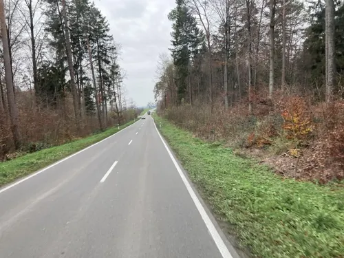


Seegut-Semmlersberg
Hiking and trails · 4.8 km
Feuchtgebiete mit Auwald- und Schilfflächen; Lebensraum für eine artenreiche Flora und Fauna; angrenzender Obstwiesenhang als...

Freibad Rudersberg
Sports field and stadium · 0.6 km
Jun-Aug: Mo,Tu,Th,Fr 14:00-20:00; Jun-Aug: Sa,Su 10:00-20:00;...

Freizeitanlage Auf der Forche
Park · 5.3 km
Spielgeräte, Grillstelle und eine Hütte für zehn Personen.

18 more on the map.
Restaurants and cafes61
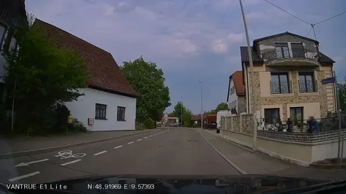
Eddi´s Biker-Residenz
Restaurant · Regional · 5.1 km
27 Ebniseestraße, Althütte
We, Su; Mo-Th 15:00-02:00; Fr 14:00-05:00; Sa 10:00-05:00; Su 10:00-01:00

Landgasthof Birkenhof
Restaurant · Regional · 5.4 km
2 Schlichenhöfle, Althütte
Tu-Su 11:30-22:00; Mo off
Mühlenladen mit Mühlenbäckerei
Bakery · 5.4 km
Befindet sich im Erdgeschoss der Mühle. Es werden u. a. Brotbackmischungen und Backwaren, Teigwarenspezialitäten, kalt geschlagene Öle...
1, Weissach im Tal
Mo-Fr 08:00-18:00; Sa 08:00-13:00; PH, Su off
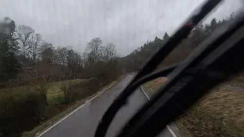
Restaurant Bahnhof Laufenmühle
Restaurant · Spanish · 5.4 km
2, Welzheim
Fr 17:00-22:00; Sa 12:00-22:00; Su, PH 11:00-22:00; Mo-We off
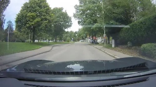
Ristorante Portofino
Restaurant · Italian · 4.6 km
4 Schulstraße, Althütte
We-Fr 11:30-14:00, 17:00-21:30; Sa 17:00-21:30; Su 11:30-14:00, 17:00-21:00
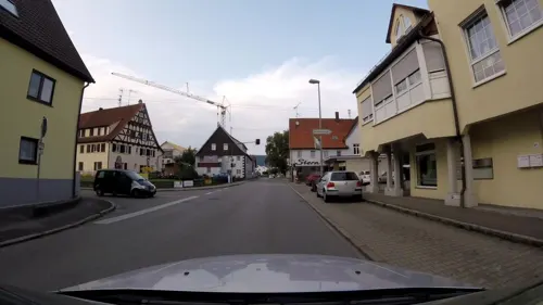
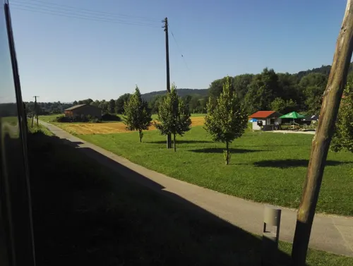
Kiosk am Mühlengarten
Restaurant · Breakfast, Coffee, Cake · 3.1 km
1, Rudersberg
easter -2 days-Oct 31 Su,PH 09:30-18:30

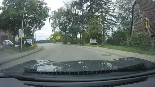
Landgasthof Schöne Aussicht
Restaurant · Regional · 3.5 km
Fr-Sa 11:30-14:30,17:00-22:00; PH Su 11:30-15:00,17:00-21:30;...
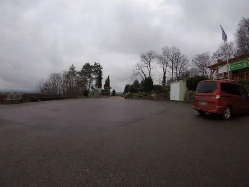
Ristorante Pizzeria Bella Vista
Restaurant · Italian · 4.2 km
We-Fr 11:30-14:00; 17:30-22:00; Sa-Su 11:30-21:00


49 more on the map.
Where to stay6
Churches and places of worship23
Max-Fischer-Gemeindehaus
Church · Lutheran · 4.5 km
19 Kammerhofweg, Weissach im Tal
Sankt Anna
Church · Lutheran · 5.1 km
1 Friedhofstraße, Allmersbach im Tal
Ev. Freikirche Gemeinde Gottes Allmersbach
Church · Pentecostal · 5.0 km
15 Hofäcker, Allmersbach im Tal
Evangelische Kirche
Church · Lutheran · 4.5 km
40 Hauptstraße, Althütte
Evangelisches Gemeindezentrum Allmersbach im Tal
Church · Lutheran · 4.7 km
41 Heutensbacher Straße, Allmersbach im Tal
Herz-Jesu-Kirche
Church · Roman Catholic · 5.6 km
7 Kirchberg, Auenwald
Mauritiuskirche
Church · Protestant · 5.2 km
12 Beethovenstraße, Berglen
Sankt Martin
Church · Roman Catholic · 4.8 km
Heutensbacher Straße, Allmersbach im Tal
Shopping9
Gas and EV charging8
Schools, colleges and libraries11
Healthcare5
Map of Rudersberg
250 places. The map loads OpenStreetMap tiles when you open it.
Getting there and nearby towns
Manfred Rommel Airport Stuttgart (STR) is the nearest airport with scheduled flights listed in OpenStreetMap, 31 km away.
- Welzheim 8 km east, about 8 min by car
- Schorndorf 9 km south, about 9 min by car
- Winnenden 10 km west, about 10 min by car
- Waiblingen 17 km west, about 17 min by car
- Uhingen 20 km south, about 20 min by car
- Steinheim an der Murr 21 km northwest, about 21 min by car
- Schwäbisch Gmünd 22 km southeast, about 22 min by car
- Wernau 23 km south, about 23 min by car
- Wendlingen am Neckar 26 km southwest, about 26 min by car
- Stuttgart 28 km southwest, about 28 min by car
Drive times are estimates from straight-line distance, not routes.
Local news
Headlines from INDB.
Reviews, tips and questions
Loading what members have shared...
Sources and licences
- GeoNames (CC BY 4.0): population, coordinates, regions and time zone
- Mapillary (see each image): photos
- OpenStreetMap contributors (ODbL 1.0): places, airports, map data
- Wikidata (CC0 1.0): elevation, founding date, time zone, website, landmarks and historic places
- Wikimedia Commons (see each image): photos
- Wikipedia (CC BY-SA 4.0): overview and history text
Photo credits
- Rudersberg, Dr. Bernd Gross, CC BY-SA 3.0
- Rudersberg Rathaus, Memorino, CC BY 3.0
- Werkstatt WEG Rudersberg Regio Shuttle, Hoff1980, CC BY-SA 3.0
- Rudersberg DB Regio Shuttle RS1 650 301, Hoff1980, CC BY-SA 3.0
- Rudersberg Bahnhof, Memorino, CC BY 3.0
- Rudersberg Bahnhof2, Silesia711, CC BY-SA 4.0
- NE 81 VT 420 WEG Rudersberg, Hoff1980, CC BY-SA 3.0
- 13.05.03 Rudersberg Nord VT441, Phil Richards, CC BY-SA 4.0
- 24.05.17 Rudersberg-Oberndorf 24.05.17 (34178102233), Phil Richards from London, UK, CC BY-SA 2.0
- HoerschbachtalWinter, Ssch, CC BY-SA 3.0
- Burg Waldenstein, Harke, CC BY-SA 4.0
- Welzheim Eins-und-Alles Mth 6523, ( MTheiler ), CC BY-SA 4.0
- Wasserfall Forellensprung Welzheim, Der Gabriel, CC BY-SA 4.0
- KESSELGROTTE, Frank Goller / http://www.fgoller.de, CC BY-SA 3.0 de
- Klingenmuehle, Lukollero at German Wikipedia, CC BY-SA 3.0
- Sternwarte-Welzheim, Kreuzschnabel, CC BY-SA 3.0
- OMIMG 20220313 130555, BilderBWWiki, CC0
- Wieslaufschlucht unterer Wasserfall, Reiner Ugele, CC BY-SA 4.0
- "Eingang" NSG Seegut-Semmlerberg, Bsch-auenwald, CC BY-SA 4.0
- Mauritius-Kirche in Berglen-Oppelsbohm 2020 MTh 7708, ( MTheiler ), CC BY-SA 4.0
- Buhlbronn ev ansicht1024x768 guntherseibold, guntherseibold, CC BY 3.0
- Rudersberg ev ansicht800x931 guntherseibold, guntherseibold, CC BY 3.0
- Allmersbach im Tal Kirche2 2022-11-06 MTh, MTheiler ( talk ), CC BY-SA 4.0
- Landappbw 177721 1820 Herz-Jesu-Kirche Auenwald-Lippoldsweiler, wkrauth, CC0
- Christuskirche Miedelsbach, X3X4X5, CC0
- Katholisches Gemeindezentrum St. Martin Allmersbach im Tal, Cyber Herbert, CC0
- Evangelische Lutherkirche in Auenwald, Cyber Herbert (changes by Rabanus Flavus ), CC0
- Max Fischer Gemeindehaus Oberweissach, Cyber Herbert, CC0
- Glockenturm Campanile Allmersbach im Tal, Cyber Herbert, CC0
- Althütte Evangelische Dorfkirche, Cyber Herbert, CC0
- Mauritius-Kirche in Berglen-Oppelsbohm 2020 MTh 7732, ( MTheiler ), CC BY-SA 4.0
- Allmersbach im Tal Kirche1 2022-11-06 MTh, MTheiler ( talk ), CC BY-SA 4.0
- Jakob-Dautel-Medaille, Martinkalus, CC BY-SA 4.0
- FAWI 8-10 (3-1), Ubraxa, CC BY-SA 4.0
- FAWI 8-10 (3-2), Ubraxa, CC BY-SA 4.0
- Hinweisschild in Oberschlechtbach, Martinkalus, CC BY-SA 4.0
- Mühlwehr Wieslauf, Harke, CC BY-SA 4.0
- Mühlwehr Wieslauf Infotafel, Harke, CC BY-SA 4.0
- Sühnekreuz Schlechtbach Infotafel, Harke, CC BY-SA 4.0
- Sühnekreuz Schlechtbach, Harke, CC BY-SA 4.0
- Ölmühle Michelau (1), Harke, CC BY-SA 4.0
- Street-level photo, ravrol, CC BY-SA 4.0
- Street-level photo, vst, CC BY-SA 4.0
- Street-level photo, plexi32, CC BY-SA 4.0
- Street-level photo, joachim_mueller, CC BY-SA 4.0
- Street-level photo, joachim_mueller, CC BY-SA 4.0
- Street-level photo, joje, CC BY-SA 4.0
- Street-level photo, bct, CC BY-SA 4.0
- Street-level photo, plexi32, CC BY-SA 4.0
- Street-level photo, pic_nick, CC BY-SA 4.0
- Street-level photo, aceini, CC BY-SA 4.0
- Street-level photo, joachim_mueller, CC BY-SA 4.0
- Street-level photo, pic_nick, CC BY-SA 4.0
- Street-level photo, Leolee, CC BY-SA 4.0
- Street-level photo, plexi32, CC BY-SA 4.0
- Street-level photo, bct, CC BY-SA 4.0
- Street-level photo, mfa, CC BY-SA 4.0
- Street-level photo, plexi32, CC BY-SA 4.0
- Street-level photo, skiloo, CC BY-SA 4.0
- Street-level photo, joje, CC BY-SA 4.0
- Street-level photo, mfa, CC BY-SA 4.0
- Street-level photo, ravrol, CC BY-SA 4.0
- Street-level photo, plexi32, CC BY-SA 4.0
- Street-level photo, pic_nick, CC BY-SA 4.0
- Street-level photo, pic_nick, CC BY-SA 4.0
- Street-level photo, joje, CC BY-SA 4.0
- Street-level photo, autinerd, CC BY-SA 4.0
- Street-level photo, mfa, CC BY-SA 4.0
- Street-level photo, bct, CC BY-SA 4.0
- Street-level photo, aceini, CC BY-SA 4.0
- Street-level photo, skiloo, CC BY-SA 4.0
- Street-level photo, joje, CC BY-SA 4.0
- Street-level photo, mfa, CC BY-SA 4.0
- Street-level photo, joachim_mueller, CC BY-SA 4.0


Page built November 8, 2026. Spotted a mistake? Tell us or suggest a place.