


Why visit Welzheim
Townapedia lists 84 museums and landmarks, 16 parks and trails, 53 places to eat, 9 places to stay and 28 attractions in and around town.
Highlights include Hofladen Linckh, Kartoffelhof Bühler, Gedenk- und Dokumentationsstätte Konzentrationslager Welzheim and Kleinkastell Rötelsee.
Weather in Welzheim
Forecast from MET Norway (CC BY 4.0). Full forecast
About Welzheim
Welzheim (German pronunciation: [ˈvɛltsˌhaɪm] ) is a town in the Rems-Murr district, in Baden-Württemberg, Germany. It is located 35 km east of Stuttgart and 15 km northwest of Schwäbisch Gmünd, in the Welzheimer Wald, part of the Swabian-Franconian Forest. Welzheim has been a state-recognised health resort (Luftkurort) since 1943.
From the Wikipedia article Welzheim (this version), under CC BY-SA 4.0.
Things to do28
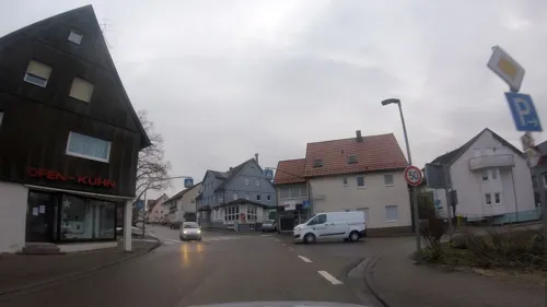
Hofladen Linckh
Farm and orchard
11 Gschwender Straße, Welzheim
Tu 08:30-12:00,14:30-18:00; Th 08:30-12:00,14:30-18:00; Sa 08:00-12:00
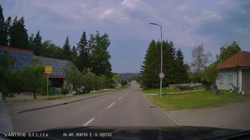
Kartoffelhof Bühler
Farm and orchard · 5.4 km
22 Gschwender Straße, Alfdorf
Tu 08:00-18:00; Th 08:00-18:00; Fr 08:00-18:00; Sa 08:00-16:00
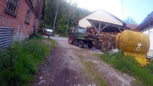
Mühlenladen
Farm and orchard · 5.2 km
3/2, Alfdorf
We closed; Mo-Fr 09:00-12:30,14:00-18:00; Sa 09:00-13:00




16 more on the map.
Museums and landmarks84

Gedenk- und Dokumentationsstätte Konzentrationslager Welzheim
Museum
1 Hermann-Schlotterbeck-Platz, Welzheim
"Nach Vereinbarung"

Kleinkastell Rötelsee
Monument and historic site · 1.1 km
Es sind nur die umlaufenden Grundmauern der Steinmauer mit ca. 0,6 m Höhe rekonstruiert
24/7




Burgstelle Schadberg
Monument and historic site · 4.5 km
Keine oberirdischen Reste sichtbar


72 more on the map.
Parks, trails and playgrounds16








4 more on the map.
Restaurants and cafes53
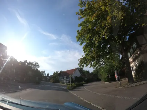
Gasthof Rössle-Rienharz
Restaurant · Regional · 3.0 km
44 Weilerstraße, Alfdorf
Tu-Sa 11:30+; Su, PH 12:00-14:00, 17:00-20:00
Gasthof zum Lamm
Restaurant · German
7 Gschwender Straße, Welzheim
Tu-Fr 11:30-14:00, 17:00-21:00; Sa 17:30-21:00; Su 11:30-14:00

Gaststätte Schützenhaus Welzheim
Restaurant · Regional · 0.7 km
4 Franz-Baum-Weg, Welzheim
We-Sa 11:30-14:00,17:00-22:00; PH 11:30-14:00,17:00-21:00; Mo-Tu off
Restaurant Bahnhof Laufenmühle
Restaurant · Spanish · 2.5 km
2, Welzheim
Fr 17:00-22:00; Sa 12:00-22:00; Su, PH 11:00-22:00; Mo-We off
Schwaben Resort Ebnisee - See Hotel
Restaurant · Italian · 5.1 km
2 Ebnisee, Welzheim
Mo-Fr 16:00-21:00; Sa-Su 11:30-21:00
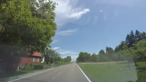
Zur alten Webstube
Restaurant · Buschenschank, Regional · 4.9 km
1 Aichstruter Straße, Kaisersbach
PH,Mo-We off; Th-Fr 14:30-23:00; Sa 12:00-23:00; Su 11:00-23:00
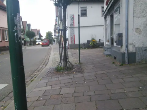

Gasthaus Hagerwaldsee
Restaurant · German · 5.0 km
31 Hagerwaldstraße, Alfdorf
We-Sa 11:30-20:00; Su 11:30-19:00; PH 11:30-19:00

Hemingway's Grill & Bar
Bar and pub · 5.4 km
1, Alfdorf
Th 18:00-24:00; Fr-Sa 18:00-02:00, Su 18:00-22:30


41 more on the map.
Where to stay9
Churches and places of worship13
Evangelisch-methodistische Kirche
Church · Methodist · 0.6 km
40 Schorndorfer Straße, Welzheim
Süddeutscher Gemeinschaftsverband
Church · Lutheran · 0.7 km
7 Römerweg, Welzheim
Shopping11
Gas and EV charging4
Schools, colleges and libraries9
Forstlicher Stützpunkt mit Forstwirtausbildungsstätte Urbach
School · 5.2 km
1 Katzenbrunnen, Urbach
Healthcare3
Map of Welzheim
230 places. The map loads OpenStreetMap tiles when you open it.
Getting there and nearby towns
Manfred Rommel Airport Stuttgart (STR) is the nearest airport with scheduled flights listed in OpenStreetMap, 37 km away.
- Winnenden 17 km west, about 17 min by car
- Wernau 26 km southwest, about 26 min by car
- Wendlingen am Neckar 30 km southwest, about 30 min by car
- Stuttgart 35 km west, about 35 min by car
- Heilbronn 42 km northwest, about 42 min by car
- Reutlingen 53 km southwest, about 53 min by car
- Ulm 59 km southeast, about 59 min by car
- Pforzheim 68 km west, about 1 h 15 min by car
- Wildberg 71 km southwest, about 1 h 15 min by car
- Wiesloch 83 km northwest, about 1 h 30 min by car
Drive times are estimates from straight-line distance, not routes.
Local news
Headlines from INDB.
Reviews, tips and questions
Loading what members have shared...
Sources and licences
- GeoNames (CC BY 4.0): population, coordinates, regions and time zone
- Mapillary (see each image): photos
- OpenStreetMap contributors (ODbL 1.0): places, airports, map data
- Wikidata (CC0 1.0): elevation, founding date, time zone, website
- Wikimedia Commons (see each image): photos
- Wikipedia (CC BY-SA 4.0): overview and history text
Photo credits
- Welzheimer Rathaus, Stadt Welzheim, CC BY-SA 4.0
- Ehemaliges Oberamtsgericht Welzheim - Hermann-Schlotterbeck-Platz 1 - Welzheim, Reutlingendorf, CC BY-SA 4.0
- Gottlob-Bauknecht-Platz - Welzheim, Reutlingendorf, CC BY-SA 4.0
- Hermann-Schlotterbeck-Platz - Welzheim II, Reutlingendorf, CC BY-SA 4.0
- Hermann-Schlotterbeck-Platz - Welzheim I, Reutlingendorf, CC BY-SA 4.0
- Landappbw 1121396 1822 Gasthof Grüner Baum Welzheim, Roland Knobloch, CC0
- Landappbw 1118948 1817 Kirchplatz Welzheim, Roland Knobloch, CC0
- Landappbw 1118947 1824 Feuersee Welzheim, Roland Knobloch, CC0
- Aerial image of the Welzheim gliding site, Carsten Steger, CC BY-SA 4.0
- Ostkastell Welzheim 2020-10-08 11, Z thomas, CC BY-SA 4.0
- Ostkastell Welzheim 2020-10-08 3, Z thomas, CC BY-SA 4.0
- Ostkastell Welzheim 2020-10-08 10, Z thomas, CC BY-SA 4.0
- Ostkastell Welzheim 2020-10-08 4, Z thomas, CC BY-SA 4.0
- Ostkastell Welzheim 2020-10-08 8, Z thomas, CC BY-SA 4.0
- Ostkastell Welzheim 2020-10-08 9, Z thomas, CC BY-SA 4.0
- Ostkastell Welzheim 2020-10-08 7, Z thomas, CC BY-SA 4.0
- Ostkastell - Welzheim - geo.hlipp.de - 22080, K-H Lipp on geo.hlipp.de, CC BY-SA 2.0
- Westtor des Ostkastells in Welzheim, Stadt Welzheim, CC BY-SA 4.0
- Ostkastell Welzheim 2020 12, Andreas Raether, CC BY-SA 4.0
- Welzheim Mithras 216, xandru, CC BY-SA 4.0
- Ostkastell Welzheim 2020-10-08 1, Z thomas, CC BY-SA 4.0
- Ostkastell Welzheim 2020-10-08 6, Z thomas, CC BY-SA 4.0
- Ostkastell Welzheim 2020-10-08 2, Z thomas, CC BY-SA 4.0
- Ostkastell Welzheim 2020-10-08 5, Z thomas, CC BY-SA 4.0
- NSG Roter Burren 2013-05-12, Schelm, CC BY-SA 3.0
- Schwabenpark-Eingang, Hannob, CC0
- Welzheim Eins-und-Alles Mth 6523, ( MTheiler ), CC BY-SA 4.0
- Wasserfall Forellensprung Welzheim, Der Gabriel, CC BY-SA 4.0
- Geldmacherklinge-2, Megatherium, CC BY-SA 3.0
- KESSELGROTTE, Frank Goller / http://www.fgoller.de, CC BY-SA 3.0 de
- Kleinkastell Rötelsee, Ana al'ain, CC BY-SA 3.0
- Klingenmuehle, Lukollero at German Wikipedia, CC BY-SA 3.0
- Sternwarte-Welzheim, Kreuzschnabel, CC BY-SA 3.0
- OMIMG 20220313 130555, BilderBWWiki, CC0
- Wieslaufschlucht unterer Wasserfall, Reiner Ugele, CC BY-SA 4.0
- Im NSG Rottal zwischen Hüttenbühl und Buchengehren 01, Jedesto, CC BY-SA 4.0
- Welzheim Kirche, dealerofsalvation, CC BY-SA 4.0
- Hellershof kirche aussenseite1600x1734 gemeinde, gemeinde, CC BY 3.0
- Kirche Rienharz, dealerofsalvation, CC BY-SA 3.0
- NSG Roter Burren 2010-05-24, Schelm, CC BY-SA 3.0
- Ostkastell Welzheim, Mediatus, CC BY-SA 3.0
- Street-level photo, ravrol, CC BY-SA 4.0
- Street-level photo, ravrol, CC BY-SA 4.0
- Street-level photo, bct, CC BY-SA 4.0
- Street-level photo, ravrol, CC BY-SA 4.0
- Street-level photo, dirk18, CC BY-SA 4.0
- Street-level photo, joje, CC BY-SA 4.0
- Street-level photo, vgxhc, CC BY-SA 4.0
- Street-level photo, vgxhc, CC BY-SA 4.0
- Street-level photo, ravrol, CC BY-SA 4.0
- Street-level photo, pic_nick, CC BY-SA 4.0
- Street-level photo, jb27, CC BY-SA 4.0
- Street-level photo, bct, CC BY-SA 4.0
- Street-level photo, pic_nick, CC BY-SA 4.0
- Street-level photo, jb27, CC BY-SA 4.0
- Street-level photo, joje, CC BY-SA 4.0
- Street-level photo, jb27, CC BY-SA 4.0
- Street-level photo, aceini, CC BY-SA 4.0
- Street-level photo, pic_nick, CC BY-SA 4.0
- Street-level photo, aceini, CC BY-SA 4.0
- Street-level photo, jb27, CC BY-SA 4.0
- Street-level photo, aceini, CC BY-SA 4.0
- Street-level photo, skiloo, CC BY-SA 4.0


Page built November 8, 2026. Spotted a mistake? Tell us or suggest a place.