


Why visit Schnaittach
Townapedia lists 85 museums and landmarks, 14 parks and trails, 54 places to eat, 5 places to stay and 34 attractions in and around town.
Highlights include Dehnberger Hof Theater, Demeter-Hof Winkelmann, Tetzelschloss and Steinkreuz bei Ziegelhütte.
Weather in Schnaittach
Forecast from MET Norway (CC BY 4.0). Full forecast
About Schnaittach
Schnaittach (German pronunciation: [ˈʃnaɪtax]) is a market town in Middle Franconia, Bavaria, Germany.
From the Wikipedia article Schnaittach (this version), under CC BY-SA 4.0.
Things to do34

Dehnberger Hof Theater
Cinema and theater · 4.8 km
Theater in Franconia
14 Dehnberg, Lauf an der Pegnitz

Öko-Geflügelhof Winkelmann
Farm and orchard · 5.9 km
Bio: Eier, Eis, Bier, Fleisch, Wurst
2, Schnaittach



22 more on the map.
Museums and landmarks85



73 more on the map.
Parks, trails and playgrounds14

Feuchtgebiet und Sandmagerrasen bei Speikern
Hiking and trails · 4.4 km



2 more on the map.
Restaurants and cafes54

Gasthaus Goldener Stern
Restaurant · Bavarian · 5.7 km
3 Kirchröttenbach F, Schnaittach
Mo off; Th off
Cafe-Restaurant Holzwurm
Restaurant · Regional · 4.4 km
12 a Spanhaufenstraße, Schnaittach
Mo 17:00-21:00; Th,Fr 14:00-21:00; Sa,Su,PH 11:30-21:00
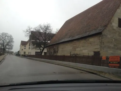
Dorfcafe
Cafe · Regional · 5.4 km
32 Hopfenstraße, Lauf an der Pegnitz
Th, Fr 12:00-21:00; Sa, Su 12:00-18:00
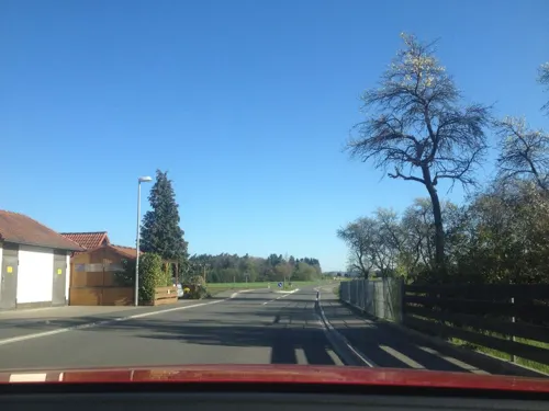
Gasthaus Albrecht
Restaurant · German · 5.9 km
4 Kuhnhofer Hauptstraße, Lauf an der Pegnitz
We-Sa 17:30-22:00; Su 11:30-22:00

Gasthaus zum weißen Roß
Restaurant · 5.6 km
5 Dorfstraße, Kirchensittenbach
Pizzeria La Rustica
Restaurant · Italian
10 Mühlgasse, Schnaittach
Mo-Sa 17:00-22:00; Tu off; Su,PH 11:30-22:00
Pizzeria Ristorante Bei Maria
Restaurant · Italian
26 Bahnhofstraße, Schnaittach
Tu-Su 11:00-14:00; Tu-Su 17:00-22:00
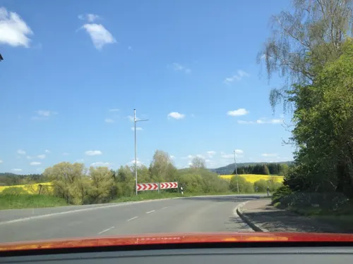


Viet Cuisine
Restaurant · Japanese · 2.1 km
14 Wolfshöhe, Neunkirchen a. Sand
Mo, We-Fr 11:00-14:30, 16:30-21:30; Sa 16:00-21:30; Su...
42 more on the map.
History
Schnaittach was first mentioned in 1011. Until 1806 the Christian population of Schnaittach was Catholic, in contrast to the surrounding areas. Schnaittach has had a large Jewish community since the 15th century. Today, the building complex of the synagogue houses a branch of the Jewish Museum of Franconia (the main museum is in Fürth).
From the History section of Schnaittach on Wikipedia, under CC BY-SA 4.0.
Where to stay5
Churches and places of worship27
Christuskirche
Church · Lutheran · 4.4 km
1 Frühmeßholzstraße, Neunkirchen a. Sand
Dreifaltigkeitskirche
Church · Protestant · 3.5 km
18 An der Osternohe, Schnaittach
Florians-Kapelle
Church · Roman Catholic · 3.4 km
10 Kapellenstraße, Neunkirchen a. Sand
Shopping13
Gas and EV charging3
Schools, colleges and libraries13
Healthcare2
Map of Schnaittach
250 places. The map loads OpenStreetMap tiles when you open it.
Getting there and nearby towns
Albrecht Dürer Airport Nuremberg (NUE) is the nearest airport with scheduled flights listed in OpenStreetMap, 20 km away.
- Lauf an der Pegnitz 7 km southwest, about 7 min by car
- Hersbruck 8 km southeast, about 8 min by car
- Röthenbach an der Pegnitz 11 km southwest, about 11 min by car
- Pommelsbrunn 14 km southeast, about 14 min by car
- Schwaig 14 km southwest, about 14 min by car
- Altdorf bei Nürnberg 19 km south, about 19 min by car
- Nuremberg 22 km southwest, about 22 min by car
- Feucht 22 km southwest, about 22 min by car
- Burgthann 23 km south, about 23 min by car
- Erlangen 24 km west, about 24 min by car
Drive times are estimates from straight-line distance, not routes.
Local news
Headlines from INDB.
Reviews, tips and questions
Loading what members have shared...
Sources and licences
- GeoNames (CC BY 4.0): population, coordinates, regions and time zone
- Mapillary (see each image): photos
- OpenStreetMap contributors (ODbL 1.0): places, airports, map data
- Wikidata (CC0 1.0): elevation, founding date, time zone, website
- Wikimedia Commons (see each image): photos
- Wikipedia (CC BY-SA 4.0): overview and history text
Photo credits
- SchnaittachRothenberg, Kassandro, CC BY-SA 3.0
- St Kunigund - Schnaittach 029, DALIBRI, CC BY-SA 4.0
- St Kunigund - Schnaittach 028, DALIBRI, CC BY-SA 4.0
- St Kunigund - Schnaittach 027, DALIBRI, CC BY-SA 4.0
- St Kunigund - Schnaittach 026, DALIBRI, CC BY-SA 4.0
- St Kunigund - Schnaittach 030, DALIBRI, CC BY-SA 4.0
- St Kunigund - Schnaittach 022, DALIBRI, CC BY-SA 4.0
- St Kunigund - Schnaittach 025, DALIBRI, CC BY-SA 4.0
- St Kunigund - Schnaittach 021, DALIBRI, CC BY-SA 4.0
- St Kunigund - Schnaittach 031, DALIBRI, CC BY-SA 4.0
- St Kunigund - Schnaittach 023, DALIBRI, CC BY-SA 4.0
- St Kunigund - Schnaittach 020, DALIBRI, CC BY-SA 4.0
- St Kunigund - Schnaittach 015, DALIBRI, CC BY-SA 4.0
- St Kunigund - Schnaittach 035, DALIBRI, CC BY-SA 4.0
- St Kunigund - Schnaittach 019, DALIBRI, CC BY-SA 4.0
- St Kunigund - Schnaittach 024, DALIBRI, CC BY-SA 4.0
- St Kunigund - Schnaittach 032, DALIBRI, CC BY-SA 4.0
- St Kunigund - Schnaittach 016, DALIBRI, CC BY-SA 4.0
- St Kunigund - Schnaittach 017, DALIBRI, CC BY-SA 4.0
- St Kunigund - Schnaittach 033, DALIBRI, CC BY-SA 4.0
- St Kunigund - Schnaittach 034, DALIBRI, CC BY-SA 4.0
- St Kunigund - Schnaittach 018, DALIBRI, CC BY-SA 4.0
- St Kunigund - Schnaittach 014, DALIBRI, CC BY-SA 4.0
- Schnaittach - Erster jüdischer Friedhof 015, DALIBRI, CC BY-SA 4.0
- Schnaittach - Erster jüdischer Friedhof 016, DALIBRI, CC BY-SA 4.0
- Schnaittach - Erster jüdischer Friedhof 014, DALIBRI, CC BY-SA 4.0
- Schnaittach - Erster jüdischer Friedhof 013, DALIBRI, CC BY-SA 4.0
- Schnaittach - Erster jüdischer Friedhof 017, DALIBRI, CC BY-SA 4.0
- Schnaittach - Erster jüdischer Friedhof 027, DALIBRI, CC BY-SA 4.0
- Schnaittach - Erster jüdischer Friedhof 026, DALIBRI, CC BY-SA 4.0
- Schnaittach - Erster jüdischer Friedhof 012, DALIBRI, CC BY-SA 4.0
- Schnaittach - Erster jüdischer Friedhof 018, DALIBRI, CC BY-SA 4.0
- Schnaittach - Erster jüdischer Friedhof 001, DALIBRI, CC BY-SA 4.0
- Schnaittach - Erster jüdischer Friedhof 010, DALIBRI, CC BY-SA 4.0
- Schnaittach - Erster jüdischer Friedhof 002, DALIBRI, CC BY-SA 4.0
- Schnaittach - Erster jüdischer Friedhof 011, DALIBRI, CC BY-SA 4.0
- Schnaittach - Erster jüdischer Friedhof 019, DALIBRI, CC BY-SA 4.0
- Dehnberg 14a Bauernhof, heute Dehnberger Hoftheater D-5-74-138-200 2017-08-05 19.22.45, RicardoKnows, CC BY-SA 4.0
- Festung Rothenberg 03052008, pegasus2, Public domain
- D-5-74-146-3 01, Derzno, CC BY-SA 3.0
- Osternohe Dreifaltigkeitskirche 1, Wolfgang Sauber, CC BY-SA 4.0
- Hl Kreuz - Kersbachh 009, DALIBRI, CC BY-SA 4.0
- Mariä Himmelfahrt - Neunkirchen am Sand 048, DALIBRI, CC BY-SA 4.0
- St Florian - Speikern 001, DALIBRI, CC BY-SA 4.0
- Steinkreuz Heuchling 03, Derzno, CC BY 4.0
- Christuskirche - Neunkirchen am Sand 002, DALIBRI, CC BY-SA 4.0
- Christuskirche - Schnaittach 006, DALIBRI, CC BY-SA 4.0
- Kirchensittenbach 010, DALIBRI, CC BY-SA 4.0
- Suehnekreuz-Ziegelstein, lutzto, CC BY-SA 3.0
- Kirchensittenbach, die Dorfstraße und der Gasthof "Zum weißen Roß", Dguendel, CC BY-SA 3.0 de
- HüttenbachKirche, Markus Bärlocher, Public domain
- Kirchensittenbach, Blick zur Dorfkirche, Dguendel, CC BY-SA 3.0 de
- Burgstall Kleiner Hansgörgel1, Sven-121, Public domain
- Street-level photo, geo, CC BY-SA 4.0
- Street-level photo, geo, CC BY-SA 4.0
- Street-level photo, geo, CC BY-SA 4.0
- Street-level photo, ramap, CC BY-SA 4.0
- Street-level photo, geo, CC BY-SA 4.0
- Street-level photo, derzornigemarkus, CC BY-SA 4.0
- Street-level photo, changchun1, CC BY-SA 4.0
- Street-level photo, geo, CC BY-SA 4.0
- Street-level photo, geo, CC BY-SA 4.0
- Street-level photo, derzornigemarkus, CC BY-SA 4.0


Page built November 9, 2026. Spotted a mistake? Tell us or suggest a place.