


Why visit Wadern
Townapedia lists 49 museums and landmarks, 27 parks and trails, 120 places to eat, 13 places to stay and 69 attractions in and around town.
Highlights include Weiskirchen, Gemüsehof Buntes Grün, Schloss Münchweiler and Schloss Dagstuhl.
Weather in Wadern
Forecast from MET Norway (CC BY 4.0). Full forecast
About Wadern
Wadern (German pronunciation: [ˈvaːdɐn] ) is a municipality in the federal state Saarland, which is situated in the southwest of Germany. It is part of the district Merzig-Wadern. Wadern consists of 13 urban districts with approximately 16.000 inhabitants. With 143 inhabitants per km2 it is sparsely populated, but, with an area of 111 km2, Wadern is the third largest municipality in Saarland after Saarbrücken and St.
From the Wikipedia article Wadern (this version), under CC BY-SA 4.0.
Things to do69

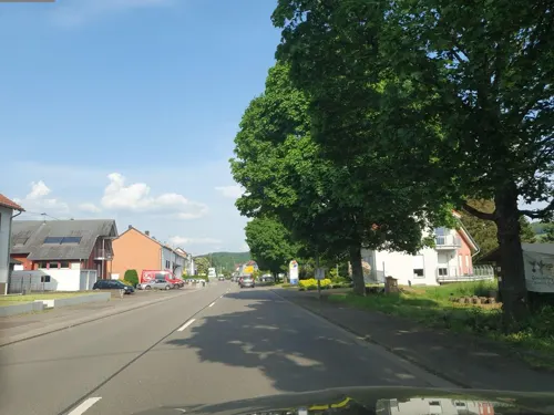


57 more on the map.
Museums and landmarks49


Schloss Dagstuhl
Monument and historic site · 1.4 km
Historisches Schloss und Kapelle mit Anbauten
4 Oktavie-Allee, Wadern
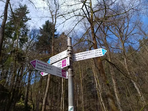
Altes Schloss (Scheiden)
Monument and historic site · 10.8 km
Castle ruin in Germany

Gallo-Römische Monumentalgrabhügel
Monument and historic site · 4.7 km




Die Birg
Monument and historic site · 7.7 km
Remains of fortification of roman time until 1200
24/7

SANI II
Monument and historic site · 1.1 km
Fernmeldezentrale des ehemaligen Ausweichsitzes der Landesregierung, SANI II

37 more on the map.
Parks, trails and playgrounds27

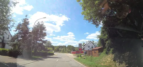
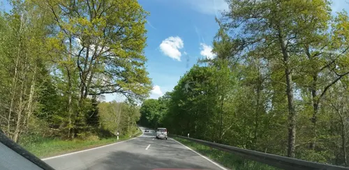


15 more on the map.
Restaurants and cafes120
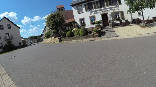
School Kättchen
Restaurant · Regional · 5.2 km
12 Dorfstraße, Weiskirchen
Mo-Sa 17:30-22:00; Su 12:00-21:00; Tu off

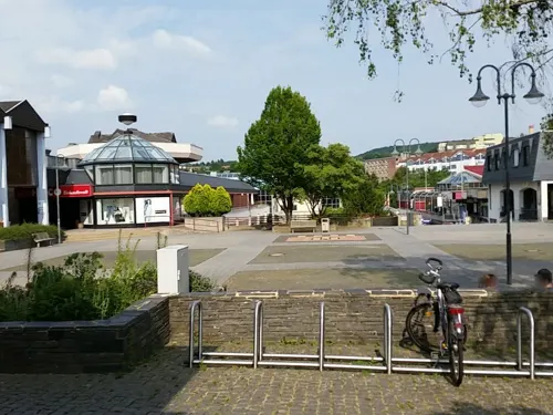
Zum Dompropst
Restaurant · Regional
19 Marktplatz, Wadern
Mo-Tu,Th-Fr,Su 11:30-14:00,18:00-22:00; We off; Sa 18:00-22:00
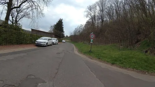
Landgasthof Paulus & der Laden
Restaurant · 7.3 km
2 Prälat-Faber-Straße, Nonnweiler
Mo-Sa 12:00-22:00; Su,PH 12:00-20:00
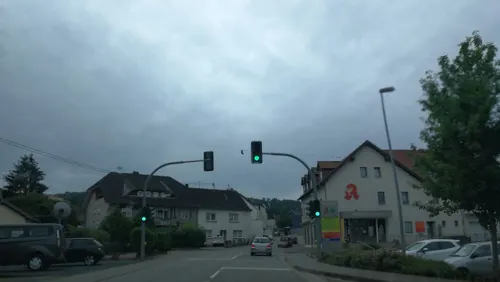
Wasgau Bäckerei
Bakery · 6.9 km
2 Saarbrücker Straße, Wadern
Mo-Sa 07:00-20:00; Su 08:00-11:00; PH unknown
Hochwaldalm Wadrill
Restaurant · Regional · 6.5 km
100 Zur Alm
Mo 11:00-20:00; Th-Su 11:00-20:00
Alte Mühle
Restaurant · 1.7 km
37 Deltstraße, Wadern
Mo off; Tu-Fr 15:30-19:30; Sa,Su 10:29-19:00


108 more on the map.
History
Stone tools and different grave-mounds in the so-called "Hochwald" region are evidence for the city's existence in a time when there were no written sources ever found (prehistory). In connection with the conquest by the Romans (58-51/50 B.C.) first written reports were discovered. Gaius Julius Caesar, the Roman general, created a detailed and written description of the people who were living in this area of Germany at this time with a comment about their rites and customs.
This part of Germany's economy and culture benefitted from the improvements of the traffic infrastructure, which was constructed by the Romans; because of this extension and progress the Celtic population increased.
The first decades after Christ were struck by increased collapsing Germanic tribes, what eventually lead to the dissolution of the Roman Empire as well as to this region being integrated into France.
From the History section of Wadern on Wikipedia, under CC BY-SA 4.0.
Where to stay13
Churches and places of worship55
Shopping17
Metallhandel Straub GmbH
Hardware store · 7.7 km
127 Niederlosheimer Straße, Losheim am See
Gas and EV charging5
Schools, colleges and libraries19
Healthcare8
Klinik für Geriatrie und Neurologie
Hospital · 6.3 km
41 Auf der Flachsbach, Weiskirchen
Map of Wadern
250 places. The map loads OpenStreetMap tiles when you open it.
Getting there and nearby towns
Saarbrücken Airport (SCN) is the nearest airport with scheduled flights listed in OpenStreetMap, 40 km away.
- Weiskirchen 5 km west, about 5 min by car
- Grimburg 8 km north, about 8 min by car
- Nonnweiler 9 km northeast, about 9 min by car
- Gusenburg 10 km north, about 10 min by car
- Losheim 11 km west, about 11 min by car
- Schmelz 12 km south, about 12 min by car
- Tholey 13 km southeast, about 13 min by car
- Trier 30 km northwest, about 30 min by car
- Saarbrücken 35 km south, about 35 min by car
- Zweibrücken 48 km southeast, about 48 min by car
Drive times are estimates from straight-line distance, not routes.
Local news
Headlines from INDB.
Reviews, tips and questions
Loading what members have shared...
Sources and licences
- GeoNames (CC BY 4.0): population, coordinates, regions and time zone
- Mapillary (see each image): photos
- OpenStreetMap contributors (ODbL 1.0): places, airports, map data
- Wikidata (CC0 1.0): elevation, founding date, time zone, website, landmarks and historic places
- Wikimedia Commons (see each image): photos
- Wikipedia (CC BY-SA 4.0): overview and history text
Photo credits
- Wadern, Oberstraße 20181012 (3), P170, CC BY-SA 4.0
- Wadern, Oberstraße 20181012 (4), P170, CC BY-SA 4.0
- Wadern, Oberstraße 20181012 (5), P170, CC BY-SA 4.0
- Wadern, Oberstraße 20181012 (2), P170, CC BY-SA 4.0
- Wadern, Gartenfeldstraße 20181012, P170, CC BY-SA 4.0
- Wadern, Oberstraße 20181012 (1), P170, CC BY-SA 4.0
- Wadern, die Oberstraße, Dguendel, CC BY 4.0
- Wadern, das Rathaus, Dguendel, CC BY 4.0
- Wadern, die Häuser Marktplatz 18 und 19, Dguendel, CC BY 4.0
- Rathaus Wadern, LoKiLeCh, CC BY-SA 4.0
- Wadern, Blick zur Allerheiligenkirche, Dguendel, CC BY 4.0
- Wadern, Marktplatz 20181012, P170, CC BY-SA 4.0
- Wadern, Gebäude am Marktplatz 20181012, P170, CC BY-SA 4.0
- Marktplatz Wadern, LoKiLeCh, CC BY-SA 4.0
- Wadern, Marktbrunnen 20181012, P170, CC BY-SA 4.0
- Wadern, Marktplatz mit Brunnen, Dguendel, CC BY 4.0
- Wadern, die Allerheiligenkirche, Dguendel, CC BY 4.0
- Öttinger Schloss Wadern Sicht aus dem Park Rückansicht, L.Sieht, CC BY-SA 3.0
- Öttinger Schloss Wadern, L.Sieht, CC BY-SA 3.0
- Wadern, Stadtmuseum im Oettinger Schlösschen 20181012, P170, CC BY-SA 4.0
- Wadern, das Öttinger Schloss, Dguendel, CC BY 4.0
- Wadern, Haus Marktplatz 3, Dguendel, CC BY 4.0
- Wadern, Blick in die Poststraße 20181012, P170, CC BY-SA 4.0
- Wadern, das ehemalige Postamt, Dguendel, CC BY 4.0
- Allerheiligen Kirche Wadern 5, LoKiLeCh, CC BY-SA 4.0
- Allerheiligen Kirche Wadern 4, LoKiLeCh, CC BY-SA 4.0
- Allerheiligen Kirche Wadern 3, LoKiLeCh, CC BY-SA 4.0
- Wegekreuz Allerheiligen Kirche Wadern, LoKiLeCh, CC BY-SA 4.0
- An der Kirche Wadern, LoKiLeCh, CC BY-SA 4.0
- Wadern, Haus An der Kirche 5, Dguendel, CC BY 4.0
- Wadern, Blick zum ZOB 20181012, P170, CC BY-SA 4.0
- Wadern, Kriegerdenkmal (1. Weltkrieg) 20181012, P170, CC BY-SA 4.0
- Allerheiligen Kirche Wadern 2, LoKiLeCh, CC BY-SA 4.0
- Allerheiligen Kirche Wadern, LoKiLeCh, CC BY-SA 4.0
- Wadern, An der Kirche 20181012 (2), P170, CC BY-SA 4.0
- Wadern, Poststraße 20181012, P170, CC BY-SA 4.0
- Wadern, An der Kirche 20181012 (1), P170, CC BY-SA 4.0
- Weiskirchen-Kurpark, Barthwo, CC BY-SA 3.0
- Wadern Schloss Muenchweiler01, Pelz, CC BY-SA 3.0
- Dagstuhl BW 2025-08-23 11-44-37, Berthold Werner, CC BY-SA 4.0
- BurgruineDagstuhl-20051211-cropped, Speifensender , cropped by Sir Gawain, CC BY-SA 3.0
- BurgGrimburg-5, Ssch, CC BY-SA 3.0
- Römische Monumentalgrabhügel Oberlöstern, Pascal Dihé, CC BY-SA 4.0
- Kostenbach, Herz-Jesu (1), Cmcmcm1, CC BY-SA 3.0
- Nunkirchen Herz-Jesu-Kirche 04, atreyu, CC BY-SA 3.0
- Antoniuskapelle 2, LoKiLeCh, CC BY-SA 4.0
- Wadern Allerheiligenkirche 04, atreyu, CC BY-SA 4.0
- Kapelle von Schloss Dagstuhl, Pascal Dihé, CC BY-SA 4.0
- Wadrill St. Martin 01, atreyu, CC BY-SA 4.0
- Primstal, Kreuzerhöhung (11), Cmcmcm1, CC BY-SA 3.0
- OettingerSchloesschenWadern, Stadt Wadern, CC BY-SA 3.0 de
- Mariahütte, Evangelische Kirche (1), Cmcmcm1, CC BY-SA 3.0
- Weierweiler, Maria-Königin (1), Cmcmcm1, CC BY-SA 3.0
- Dagstuhl 2008-01-30 - 084, Nic McPhee from Morris, Minnesota, USA, CC BY-SA 2.0
- Thailen-Church, chris 論, CC BY-SA 3.0
- Die Birg, Whitechristmas, CC BY-SA 4.0
- Finkenburg Weiskirchen3, Johannes Simon, CC BY 2.0
- Lichtspiele Wadern, LoKiLeCh, CC BY-SA 4.0
- SANI II (Fernmeldezentrale) - Stollen, Pascal Dihé, CC BY-SA 4.0
- Street-level photo, whitechristmas, CC BY-SA 4.0
- Street-level photo, teddy73, CC BY-SA 4.0
- Street-level photo, teddy73, CC BY-SA 4.0
- Street-level photo, kalla, CC BY-SA 4.0
- Street-level photo, teddy73, CC BY-SA 4.0
- Street-level photo, teddy73, CC BY-SA 4.0
- Street-level photo, NorMan61, CC BY-SA 4.0
- Street-level photo, teddy73, CC BY-SA 4.0
- Street-level photo, teddy73, CC BY-SA 4.0
- Street-level photo, teddy73, CC BY-SA 4.0
- Street-level photo, finosoft, CC BY-SA 4.0
- Street-level photo, teddy73, CC BY-SA 4.0
- Street-level photo, teddy73, CC BY-SA 4.0
- Street-level photo, teddy73, CC BY-SA 4.0
- Street-level photo, teddy73, CC BY-SA 4.0
- Street-level photo, teddy73, CC BY-SA 4.0
- Street-level photo, teddy73, CC BY-SA 4.0
- Street-level photo, teddy73, CC BY-SA 4.0
- Street-level photo, teddy73, CC BY-SA 4.0


Page built November 8, 2026. Spotted a mistake? Tell us or suggest a place.