


Why visit Waldsee
Townapedia lists 12 museums and landmarks, 24 parks and trails, 47 places to eat, 5 places to stay and 3 attractions in and around town.
Highlights include ehemalige Schule, Heimatmuseum Waldsee, Im Wörth and Kistnerweiher.
Weather in Waldsee
Forecast from MET Norway (CC BY 4.0). Full forecast
About Waldsee
Waldsee (German pronunciation: [ˈvaltˌzeː] ) is a municipality in the Rhein-Pfalz-Kreis, in Rhineland-Palatinate, Germany.
From the Wikipedia article Waldsee, Palatinate (this version), under CC BY-SA 4.0.
Things to do3

Spargelhof Fischer
Farm and orchard · 2.8 km
28 Speyerer Straße, Neuhofen


Museums and landmarks12

ehemalige Schule
Monument and historic site · 3.2 km
Klassizistischer Walmdachbau, um 1860
5 Ludwigshafener Straße, Neuhofen
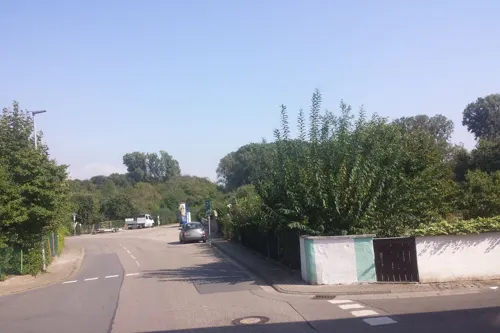
Heimatmuseum Waldsee
Museum
19 Altriper Straße, Waldsee
Su[1] 17:00-17:00

Grabmal W. Eisenhauer
Monument and historic site · 3.5 km
Grabmal W. Eisenhauer († 1918), Marmor, darin Bronzehohlguss, 1912 von B. Klatt;

Grabstein Familie Klamm
Monument and historic site · 3.5 km
Grabmal Familie K. Klamm II., antikisierende Steingussplastik, um 1915

Kriegerdenkmal 1870/71
Monument and historic site · 3.3 km
Germania, von Gottfried Renn, Speyer

Kriegerdenkmal für die Gefallenen des Ersten Weltkriegs
Monument and historic site · 3.1 km
Kriegerdenkmal für die Gefallenen des Ersten Weltkriegs; Sandsteinkubus mit drei Soldaten; 1934; wahrscheinlich von Theobald Hauck, Maxdorf




Parks, trails and playgrounds24



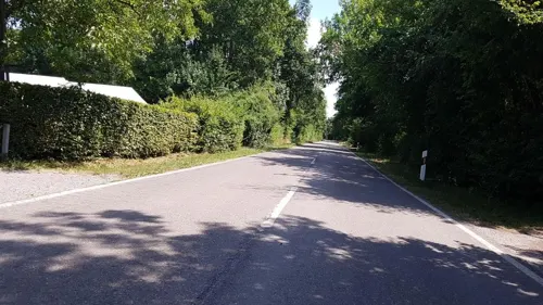
Wassersport- und Campingclub Otterstadt
Marina and boat launch · 3.1 km
Campingplatz nur für Vereinsmitglieder und deren Angehörige.

12 more on the map.
Restaurants and cafes47
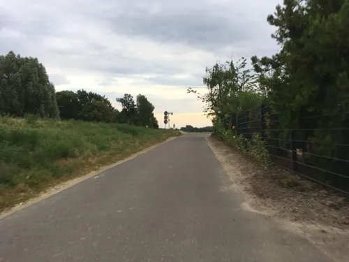
Christians
Restaurant · Regional, German, Spanish, Tapas · 3.0 km
11 Kollerstraße, Otterstadt
We,Th 17:00-22:00; Fr-Su, PH 12:00-22:00
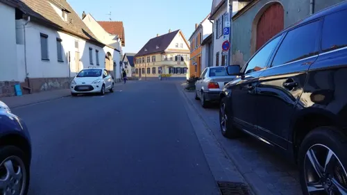
Konditorei Christmann
Cafe · Regional
Familienbetriebene, lokale Konditorei, die unter anderem auch vegane Optionen anbietet.
Tu-Sa 09:30-18:00; Su 09:00-18:00; PH off
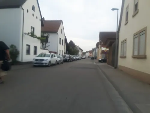
Ristorante Vivere
Restaurant · Italian · 2.8 km
22 Speyerer Straße, Otterstadt
11:30-14:00,17:30-23:00; We,Th off
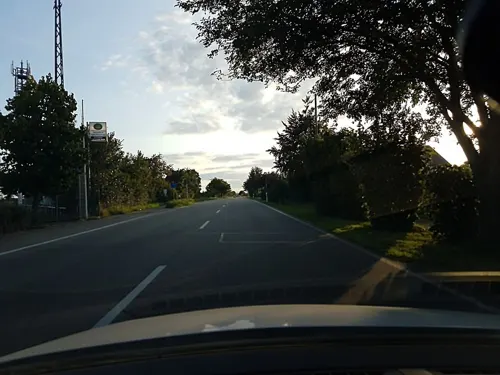
TuRa Gaststätte
Restaurant · Greek · 3.3 km
71 Speyerer Straße, Otterstadt
Tu-Th 17:00-22:00; Fr-Su 10:30-14:00,17:00-21:00

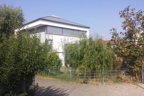
Wilhelmi's Brotkorb
Bakery · 3.6 km
23 Im Lettenhorst, Schifferstadt
Mo-Fr 05:30-18:00; Sa 05:30-13:00; Su 08:00-12:00
Asia Pacific
Restaurant · Asian · 3.0 km
4 Speyerer Straße, Neuhofen
Tu-Sa 11:00-14:30,17:30-23:30; Su 11:00-23:00

Naturfreundehaus 'Im Woog'
Bar and pub · 1.5 km
Bachstadenweg, Neuhofen
Nov-Mar: Sa-Su,PH 14:00-20:00; Apr-Oct: Sa-Su,We,PH 14:00-20:00


Bistro Oro
Restaurant · Pizza, German, Ice Cream · 3.3 km
2, Brühl
Tu-Su 12:00-22:00
35 more on the map.
Where to stay5
Churches and places of worship11
Jehovas Zeugen e.V. Königreichssaal
Church · Jehovahs Witness · 2.5 km
60 Speyerer Straße, Neuhofen
Shopping6
Gas and EV charging5
Schools, colleges and libraries5
Healthcare4
Map of Waldsee
122 places. The map loads OpenStreetMap tiles when you open it.
Getting there and nearby towns
City-Airport Mannheim (MHG) is the nearest airport with scheduled flights listed in OpenStreetMap, 10 km away.
- Schifferstadt 5 km west, about 5 min by car
- Limburgerhof 5 km northwest, about 5 min by car
- Brühl 7 km east, about 7 min by car
- Ketsch 7 km southeast, about 7 min by car
- Speyer 8 km south, about 8 min by car
- Mutterstadt 8 km northwest, about 8 min by car
- Ludwigshafen am Rhein 10 km north, about 10 min by car
- Schwetzingen 10 km east, about 10 min by car
- Böhl-Iggelheim 10 km west, about 10 min by car
- Mannheim 11 km north, about 11 min by car
Drive times are estimates from straight-line distance, not routes.
Local news
Headlines from INDB.
Reviews, tips and questions
Loading what members have shared...
Sources and licences
- GeoNames (CC BY 4.0): population, coordinates, regions and time zone
- Mapillary (see each image): photos
- OpenStreetMap contributors (ODbL 1.0): places, airports, map data
- Wikidata (CC0 1.0): elevation, founding date, time zone, website
- Wikimedia Commons (see each image): photos
- Wikipedia (CC BY-SA 4.0): overview and history text
Photo credits
- Altes Rathaus Waldsee 2, -- Immanuel Giel 11:22, 9 July 2007 (UTC), Public domain
- Waldsee altes Rathaus 20110530, Rudolf Stricker, Attribution
- Waldsee Sankt-Martin-Kirche 20110530, Rudolf Stricker, Attribution
- Waldsee Ludwigstraße 38 - 2016, Oliver Orschiedt, CC BY-SA 4.0
- Waldsee Sankt-Martin-Kirche Rückseite 20110530, Rudolf Stricker, Attribution
- Waldsee Heimatmuseum 20110530, Rudolf Stricker, Attribution
- Bildstock Steiggasse Waldsee 2018, Oliver Orschiedt, CC BY-SA 4.0
- Waldsee Friedhof alte Grabmale - 2015, Oliver Orschiedt, CC BY-SA 4.0
- Waldsee Rathaus 20110530, Rudolf Stricker, Attribution
- Otterstadt Katholische Kirche 20110530, Rudolf Stricker, Attribution
- Neuhofen Ludwigshafener Straße5, Wegavision, CC0
- Grabstein Eisenhauer, Wegavision, CC0
- Grabstein Klamm, Wegavision, CC0
- Neuheufen Kriegerdenkmal1870-71, Wegavision, CC0
- Kriegerdenkmal Neuhofen (Pfalz) 01, Immanuel Giel, Public domain
- DenTodenallerKriege, Wegavision, CC0
- Landschaft - Im Wörth1, SmittyNox, CC BY-SA 4.0
- Bruchwald im Neuhofener Woog 1 - 2018, Oliver Orschiedt, CC BY-SA 4.0
- Neuhofen evangelische Kirche 20110129, Rudolf Stricker, Attribution
- Das soll ein Keller sein - panoramio, Immanuel Giel, CC BY 3.0
- Kriegerdenkmal - panoramio (4), Immanuel Giel, CC BY 3.0
- St. Martin - panoramio (3), Immanuel Giel, CC BY 3.0
- Kriegerdenkmal mit bayerischem Löwen - panoramio, Immanuel Giel, CC BY 3.0
- Wiesenblume (48815994402), Lutz Blohm, CC BY-SA 2.0
- Distelblüten (50101251821), Lutz Blohm, CC BY-SA 2.0
- Distelblüten (50100672508), Lutz Blohm, CC BY-SA 2.0
- Distelblüten (50100670898), Lutz Blohm, CC BY-SA 2.0
- Kaisermantel - Flickr - Lutz Blohm, Lutz Blohm, CC BY-SA 2.0
- Mohnfeld (51245279124), Lutz Blohm, CC BY-SA 2.0
- Mohnfeld (51245572050), Lutz Blohm, CC BY-SA 2.0
- Mohnfeld (51245277229), Lutz Blohm, CC BY-SA 2.0
- Otterstadt Katholische Kapelle an der Kapellenstraße, Oliver Orschiedt, CC BY-SA 3.0
- Street-level photo, teddy73, CC BY-SA 4.0
- Street-level photo, changchun1, CC BY-SA 4.0
- Street-level photo, changchun1, CC BY-SA 4.0
- Street-level photo, changchun1, CC BY-SA 4.0
- Street-level photo, changchun1, CC BY-SA 4.0
- Street-level photo, wegavision, CC BY-SA 4.0
- Street-level photo, wegavision, CC BY-SA 4.0
- Street-level photo, wegavision, CC BY-SA 4.0
- Street-level photo, wegavision, CC BY-SA 4.0
- Street-level photo, wegavision, CC BY-SA 4.0
- Street-level photo, ramap, CC BY-SA 4.0
- Street-level photo, changchun1, CC BY-SA 4.0
- Street-level photo, wegavision, CC BY-SA 4.0
- Street-level photo, teddy73, CC BY-SA 4.0
- Street-level photo, wegavision, CC BY-SA 4.0
- Street-level photo, wegavision, CC BY-SA 4.0
- Street-level photo, b166er, CC BY-SA 4.0
- Street-level photo, wegavision, CC BY-SA 4.0
- Street-level photo, wegavision, CC BY-SA 4.0
- Street-level photo, changchun1, CC BY-SA 4.0
- Street-level photo, changchun1, CC BY-SA 4.0
- Street-level photo, changchun1, CC BY-SA 4.0
- Street-level photo, wegavision, CC BY-SA 4.0
- Street-level photo, changchun1, CC BY-SA 4.0
- Street-level photo, wegavision, CC BY-SA 4.0


Page built November 9, 2026. Spotted a mistake? Tell us or suggest a place.