


Böhl-Iggelheim, Germany
Böhl-Iggelheim is a town of 10,797 people in Rheinland-Pfalz, Germany.
Why visit Böhl-Iggelheim
Townapedia lists 72 museums and landmarks, 16 parks and trails, 134 places to eat, 7 places to stay and 13 attractions in and around town.
Highlights include Rex-Kino-Center Schifferstadt, Heikes Hoflädel, Heimatmuseum Schifferstadt and Heimatmuseum Altes Schulhaus.
Weather in Böhl-Iggelheim
Forecast from MET Norway (CC BY 4.0). Full forecast
About Böhl-Iggelheim
Böhl-Iggelheim (German pronunciation: [ˈbøːl ˈʔɪɡl̩haɪm]) is a municipality in the Rhein-Pfalz-Kreis, in Rhineland-Palatinate, Germany. It has about 8,200 inhabitants and is situated approximately 15 km southwest of Ludwigshafen, and 10 km northwest of Speyer.
From the Wikipedia article Böhl-Iggelheim (this version), under CC BY-SA 4.0.
Things to do13
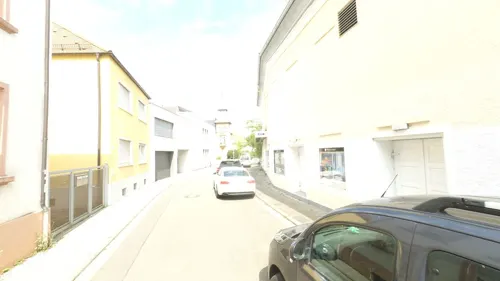
Rex-Kino-Center Schifferstadt
Cinema and theater · 5.1 km
6 Zeppelinstraße, Schifferstadt
"Spielplan online unter https://www.rex-schifferstadt.de/"

Heikes Hoflädel
Farm and orchard · 4.2 km
We-Th 09:00-12:30,15:00-17:00; Fr 09:00-12:30,15:00-18:00; Sa...

Plopsaland Deutschland
Monument and historic site · 6.8 km
Amusement park in Haßloch, Rhineland-Pflaz, Germany
Bauernhof Schalter
Farm and orchard · 5.0 km
Fleisch und Kartoffel Verkauf
9 Langstraße, Hochdorf-Assenheim
Tu,Th,Fr 08:00-18:00; Sa 08:00-15:00
Obsthof Hass
Farm and orchard
Obstverkauf
13 Hauptstraße, Böhl-Iggelheim
Mo-Sa 08:30-12:30; Fr 14:30-18:00

1 more on the map.
Museums and landmarks72
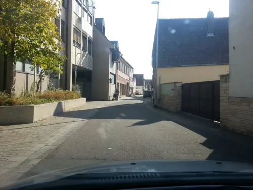


Dreiseithof
Monument and historic site · 5.0 km
Dreiseithof, erstes Viertel des 19. Jahrhunderts; eineinhalbgeschossiges Wohnhaus, bezeichnet 1824; Nebengebäude, teilweise Fachwerk;...
39 Raiffeisenstraße, Dannstadt-Schauernheim

ehemaliges Gemeindehaus
Monument and historic site · 1.0 km
Gemeindehaus, neuklassizistischer Walmdachbau, 1883; platzbildprägend
23 Kirchenstraße, Böhl-Iggelheim


Historisches Rathaus
Monument and historic site · 5.1 km
Ehemaliges Rathaus; barocker Walmdachbau, teilweise Fachwerk, bezeichnet 1712; ortsbildprägend
25 Langstraße, Hochdorf-Assenheim

Wohnhaus 17. Jhd
Monument and historic site · 0.9 km
Fachwerkwohnhaus mit Krüppelwalmdach, wohl 17. Jahrhundert
3 Kirchenstraße, Böhl-Iggelheim

Wohnhaus 1784
Monument and historic site · 1.0 km
Wohnhaus mit Sandstein- und Holzarchitekturteilen, drittes Viertel des 19. Jahrhunderts; rückwärtige Fachwerkgebäude älter, Scheune...
77 Hauptstraße, Böhl-Iggelheim
anspruchsvolle klassizistische Toranlage
Monument and historic site · 0.9 km
Anspruchsvolle klassizistische Toranlage, zweite Hälfte des 18. Jahrhunderts

Ehemaliges protestantisches Pfarrhaus
Monument and historic site · 0.9 km
1 Kirchenstraße, Böhl-Iggelheim

60 more on the map.
Parks, trails and playgrounds16




Kreisbad Schifferstadt
Sports field and stadium · 5.0 km
2 Am Sportzentrum, Schifferstadt

4 more on the map.
Restaurants and cafes134
Amalfi
Restaurant · Italian, Pasta, Pizza · 4.4 km
23 Lachener Weg, Haßloch
Th-Tu 17:00+, Su,PH 11:30-14:00
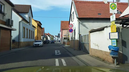
Bäcker Görtz
Bakery · 1.5 km
12 Eisenbahnstraße, Böhl-Iggelheim
Mo-Fr 05:30-18:00; Sa 06:00-13:00; Su 07:30-12:00
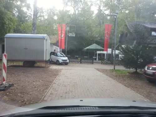
Naturfreundehaus Haßloch
Restaurant · 4.8 km
55 An der Fohlenweide, Haßloch
Mo-We 09:00-20:00; Fr-Su 09:00-20:00
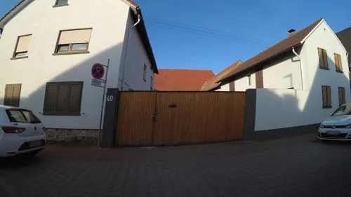
Pavia Restaurant
Restaurant · Italian · 0.6 km
31 Hauptstraße, Böhl-Iggelheim
Mo-We,Fr 16:00-22:00; PH,Sa,Su 12:00-22:00

Pfeffer & Salz 2.0
Restaurant · German · 5.1 km
7 Kleine Kapellenstraße, Schifferstadt
Mo-Fr,Su,PH 11:30-14:30,17:30-23:00; Sa 17:30-23:00
Ristorante Da Lillo & Nicola
Restaurant · Italian · 5.0 km
5 Obere Weide, Dannstadt-Schauernheim
Tu-Su 11:30-14:00,17:00-23:00
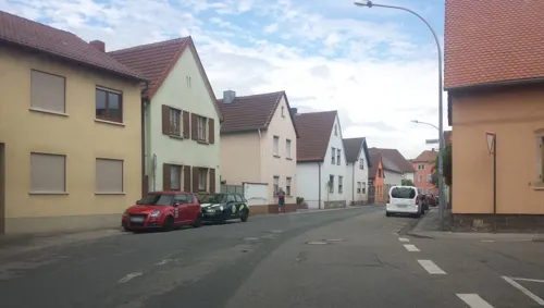
Zum Storchen
Restaurant · Regional · 4.3 km
71 Kirchgasse, Haßloch
Tu-Fr 11:00-14:00,17:00-22:00; Sa,Su,PH 11:00-22:00
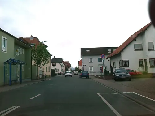
Bäcker Görtz
Bakery · 3.7 km
20 Bismarckstraße, Haßloch
Mo-Fr 05:30-18:30; Sa 06:00-17:00; Su 07:30-17:00
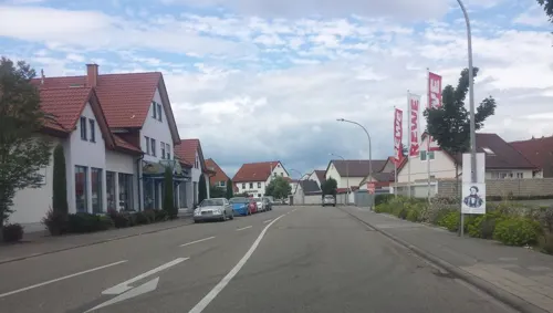
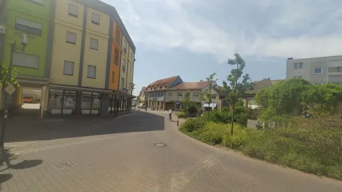


Bäcker Görtz
Bakery · 5.1 km
12 Bahnhofstraße, Schifferstadt
Mo-Fr 05:30-18:00; Sa 06:00-17:00; Su 07:30-18:00
122 more on the map.
History
Böhl was founded in the 8th Century as a Frankish village. Iggelheim had been founded about 100 years before as a Christian convent.
Both villages belonged to the realm of the German Kingdom and previously to the Frankish Empire. During the 30 Year's War both villages were burnt down by Spanish and Swedish invaders.
From 1797 on, Böhl and Iggelheim belonged to the French and the Palatinate part of Bavaria after which they came under the direction of the new city of Ludwigshafen.
Even today it still belongs to Ludwigshafen and has its area council offices there under the name "Rheinpfalzkreis" (in English, "Rhenish Palatinate area.")
From the History section of Böhl-Iggelheim on Wikipedia, under CC BY-SA 4.0.
Where to stay7
Churches and places of worship29
Protestantische Pfarrkirche
Church · Protestant · 5.1 km
23 Langstraße, Hochdorf-Assenheim
Protestantische Pfarrkirche
Church · Protestant · 5.1 km
22 Kirchenstraße, Dannstadt-Schauernheim
Evangelische Christusgemeinde Böhl-Iggelheim
Church · Protestant · 2.6 km
9 Mühlwiesenstraße, Böhl-Iggelheim
Shopping30
Gas and EV charging12
Fahrzeugtechnik Hess (Tankautomat)
Gas station · 3.9 km
107 a Rennbahnstraße, Haßloch
Schools, colleges and libraries27
Katholische öffentliche Bücherei St. Michael
Library · 5.2 km
4 Kirchenstraße, Dannstadt-Schauernheim
Gemeindebücherei Dannstadt
Library · 5.2 km
17 Kirchenstraße, Dannstadt-Schauernheim
Healthcare10
Map of Böhl-Iggelheim
250 places. The map loads OpenStreetMap tiles when you open it.
Getting there and nearby towns
City-Airport Mannheim (MHG) is the nearest airport with scheduled flights listed in OpenStreetMap, 18 km away.
- Haßloch 4 km southwest, about 4 min by car
- Schifferstadt 5 km east, about 5 min by car
- Mutterstadt 8 km northeast, about 8 min by car
- Limburgerhof 8 km northeast, about 8 min by car
- Speyer 11 km southeast, about 11 min by car
- Neustadt an der Weinstraße 12 km west, about 12 min by car
- Ludwigshafen am Rhein 15 km northeast, about 15 min by car
- Mannheim 17 km northeast, about 17 min by car
- Ketsch 17 km east, about 17 min by car
- Frankenthal 17 km north, about 17 min by car
Drive times are estimates from straight-line distance, not routes.
Local news
Headlines from INDB.
Reviews, tips and questions
Loading what members have shared...
Sources and licences
- GeoNames (CC BY 4.0): population, coordinates, regions and time zone
- Mapillary (see each image): photos
- OpenStreetMap contributors (ODbL 1.0): places, airports, map data
- Wikidata (CC0 1.0): elevation, founding date, time zone, website, landmarks and historic places
- Wikimedia Commons (see each image): photos
- Wikipedia (CC BY-SA 4.0): overview and history text
Photo credits
- Böhl-Iggelheim 002, Wolkenkratzer, CC BY-SA 3.0
- Böhl-Iggelheim Kirchenstr3-01, Wegavision, CC0
- Böhl-Iggelheim Hauptstraße73, Wegavision, CC0
- Böhl-Iggelheim Kirchenstraße 1, Wegavision, CC0
- Böhl-Iggelheim Bahnhof 20130605, Rudolf Stricker, CC BY-SA 2.0 de
- Böhl-Iggelheim Hauptstraße7-02, Wegavision, CC0
- Böhl-Iggelheim Hauptstraße45-01, Wegavision, CC0
- Böhl-Iggelheim Hauptstr 53-01, Wegavision, CC0
- Böhl-Iggelheim Hauptstr57-02, Wegavision, CC0
- Böhl-Iggelheim Kirchenstraße10, Wegavision, CC0
- Böhl-Iggelheim Kirchenstraße14, Wegavision, CC0
- Barockes Steinkreuz Böhl-Iggelheim Kirchenstraße, Wegavision, CC0
- Böhl-Iggelheim Hauptstraße98-02, Wegavision, CC BY-SA 3.0
- Böhl-Iggelheim Kirchenstraße23-03, Wegavision, CC0
- Böhl-Iggelheim Kirchenstraße20-01, Wegavision, CC0
- Böhl-Iggelheim Kirchenstraße24-01, Wegavision, CC0
- Böhl-Iggelheim Hauptstraße75-01, Wegavision, CC0
- Böhl-Iggelheim Kirchenstraße41, Wegavision, CC0
- Speyer (DerHexer) 2010-12-19 054, DerHexer , Wikimedia Commons, CC BY-SA 4.0
- Iggelheim Altes Rathaus 20130605, Rudolf Stricker, CC BY-SA 2.0 de
- Kirche Hassloch 03, Immanuel Giel, CC0
- Ehemalige katholische Kirche Iggelheim 01, Immanuel Giel, Public domain
- Böhl-Iggelheim Kirchenstraße23-01, Wegavision, CC0
- Historisches Rathaus Assenheim, Prekario, CC BY-SA 3.0
- Hauptstraße 77, Wegavision, CC0
- Dannstadt Gräberfeld, Altera levatur, CC BY-SA 4.0
- Katholische Kirche Boehl 02, Immanuel Giel, Public domain
- Katholische Kirche in Dannstadt 01, -- Immanuel Giel 12:42, 21 May 2008 (UTC), Public domain
- Assenheim evangelische Kirche, Immanuel Giel, Public domain
- Protestanische Kirche in Dannstadt 02, -- Immanuel Giel 12:36, 21 May 2008 (UTC), Public domain
- Goldener Hut von Schifferstadt, Immanuel Giel, Public domain
- Hauptbahnhof - panoramio - Immanuel Giel (7), Immanuel Giel, CC BY 3.0
- Böhl, Gebäude Ludwigstraße 32 20211227, P170, CC BY-SA 4.0
- Kirche - panoramio - Immanuel Giel (9), Immanuel Giel, CC BY 3.0
- Böhl Katholische Kirche 20130605, Rudolf Stricker, CC BY-SA 2.0 de
- Böhl, Gebäude Kirchenstraße 29 20211227, P170, CC BY-SA 4.0
- Hauptstraße 77-2, Wegavision, CC0
- Böhl, Gebäude Kirchenstraße 17u17a 20211227, P170, CC BY-SA 4.0
- Böhl, Kirchenstraße 20211227, P170, CC BY-SA 4.0
- Fachwerkwohnhaus Böhl Kirchenstraße 17a, Laemmerbiss, CC BY-SA 4.0
- Plopsaland Deutschland Splash Battle, Freak-Line-Community, CC BY-SA 4.0
- Street-level photo, wegavision, CC BY-SA 4.0
- Street-level photo, changchun1, CC BY-SA 4.0
- Street-level photo, teddy73, CC BY-SA 4.0
- Street-level photo, changchun1, CC BY-SA 4.0
- Street-level photo, ec411, CC BY-SA 4.0
- Street-level photo, VIA_DT, CC BY-SA 4.0
- Street-level photo, wegavision, CC BY-SA 4.0
- Street-level photo, wegavision, CC BY-SA 4.0
- Street-level photo, ec411, CC BY-SA 4.0
- Street-level photo, wegavision, CC BY-SA 4.0
- Street-level photo, changchun1, CC BY-SA 4.0
- Street-level photo, changchun1, CC BY-SA 4.0
- Street-level photo, wegavision, CC BY-SA 4.0
- Street-level photo, changchun1, CC BY-SA 4.0
- Street-level photo, teddy73, CC BY-SA 4.0
- Street-level photo, teddy73, CC BY-SA 4.0
- Street-level photo, wegavision, CC BY-SA 4.0
- Street-level photo, wegavision, CC BY-SA 4.0
- Street-level photo, wegavision, CC BY-SA 4.0
- Street-level photo, wegavision, CC BY-SA 4.0
- Street-level photo, wegavision, CC BY-SA 4.0
- Street-level photo, wegavision, CC BY-SA 4.0
- Street-level photo, wegavision, CC BY-SA 4.0
- Street-level photo, changchun1, CC BY-SA 4.0
- Street-level photo, changchun1, CC BY-SA 4.0
- Street-level photo, wegavision, CC BY-SA 4.0
- Street-level photo, wegavision, CC BY-SA 4.0
- Street-level photo, changchun1, CC BY-SA 4.0
- Street-level photo, changchun1, CC BY-SA 4.0
- Street-level photo, wegavision, CC BY-SA 4.0


Page built November 8, 2026. Spotted a mistake? Tell us or suggest a place.